Taos Ski Valley is a village and alpine ski resort in the southwestern United States, located in Taos County, New Mexico. The population was 69 at the 2010 census. Until March 19, 2008, it was one of four ski resorts in America to prohibit snowboarding. The Kachina lift, constructed in 2014, serves one of the highest elevations of any triple chair in North America, to a peak of 12,481 feet (3,804 m) above sea level.
The village was originally settled by a group of miners in the 1800s, but in 1955, Ernie and Rhoda Blake founded the area as a ski mountain. The village was incorporated in 1996.
In 2013, Taos Ski Valley, Inc., was sold by the founding family to billionaire conservationist Louis Bacon. It has 110 trails with 24% beginner, 25% intermediate, and 51% advanced/expert. The Ernie Blake Snowsports School is one of the highest rated ski schools in North America.
| Name: | Taos Ski Valley village |
|---|---|
| LSAD Code: | 47 |
| LSAD Description: | village (suffix) |
| State: | New Mexico |
| County: | Taos County |
| Elevation: | 9,321 ft (2,841 m) |
| Total Area: | 2.85 sq mi (7.39 km²) |
| Land Area: | 2.85 sq mi (7.39 km²) |
| Water Area: | 0.00 sq mi (0.00 km²) |
| Total Population: | 77 |
| Population Density: | 27.00/sq mi (10.42/km²) |
| ZIP code: | 87525 |
| Area code: | 575 |
| FIPS code: | 3576480 |
| GNISfeature ID: | 0899303 |
| Website: | http://www.skitaos.com/ |
Online Interactive Map
Click on ![]() to view map in "full screen" mode.
to view map in "full screen" mode.
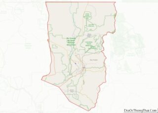
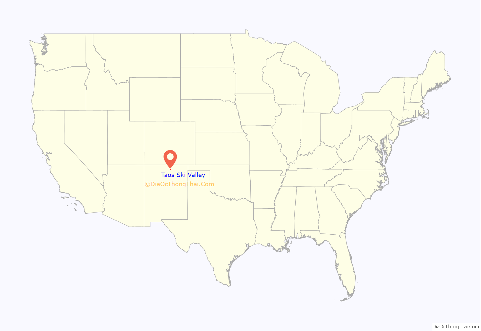
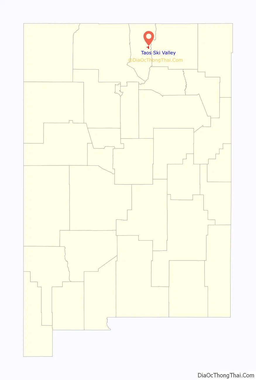
Taos Ski Valley location map. Where is Taos Ski Valley village?
History
In the 1800s, present-day Taos Ski Valley was the site of a small copper mining town called Twining, New Mexico, though it was later abandoned. Present day Taos Ski Valley was founded in 1955 by Ernie and Rhoda Blake. They lived in an eleven-foot camper in the absence of any buildings in the area except almost-completed Hondo Lodge (now Snakedance Condominiums). Even after moving into the lodge, they lived without power until 1963. Ernie and Rhoda had been living in Santa Fe, New Mexico. Ernie was managing the Santa Fe Ski Basin.
The first ski lift, a J-bar, was installed in 1956. Until 1957, the ski resort featured only one ski slope, Snakedance. In 1957, the resort installed a second lift—a Poma (platter) lift. Blake was for a time involved in the day-to-day management of the resort, answering the phone and telling prospective visitors whether the skiing was expected to be good in advance of weekend trips.
In December 2013, the billionaire Louis Bacon purchased Taos Ski Valley from the Blake family, who had owned it since 1954.
In 2018, Taos Ski Valley, Inc. started Taos Air, a virtual airline which operates scheduled public air charter service at Taos Regional Airport during ski season. Taos Air began operations to destinations in Texas, offering shuttle service between the airport and the resort, with the Town of Taos providing terminal access, marketing, de-icing service, and a hangar. In 2020, destinations in California were added.
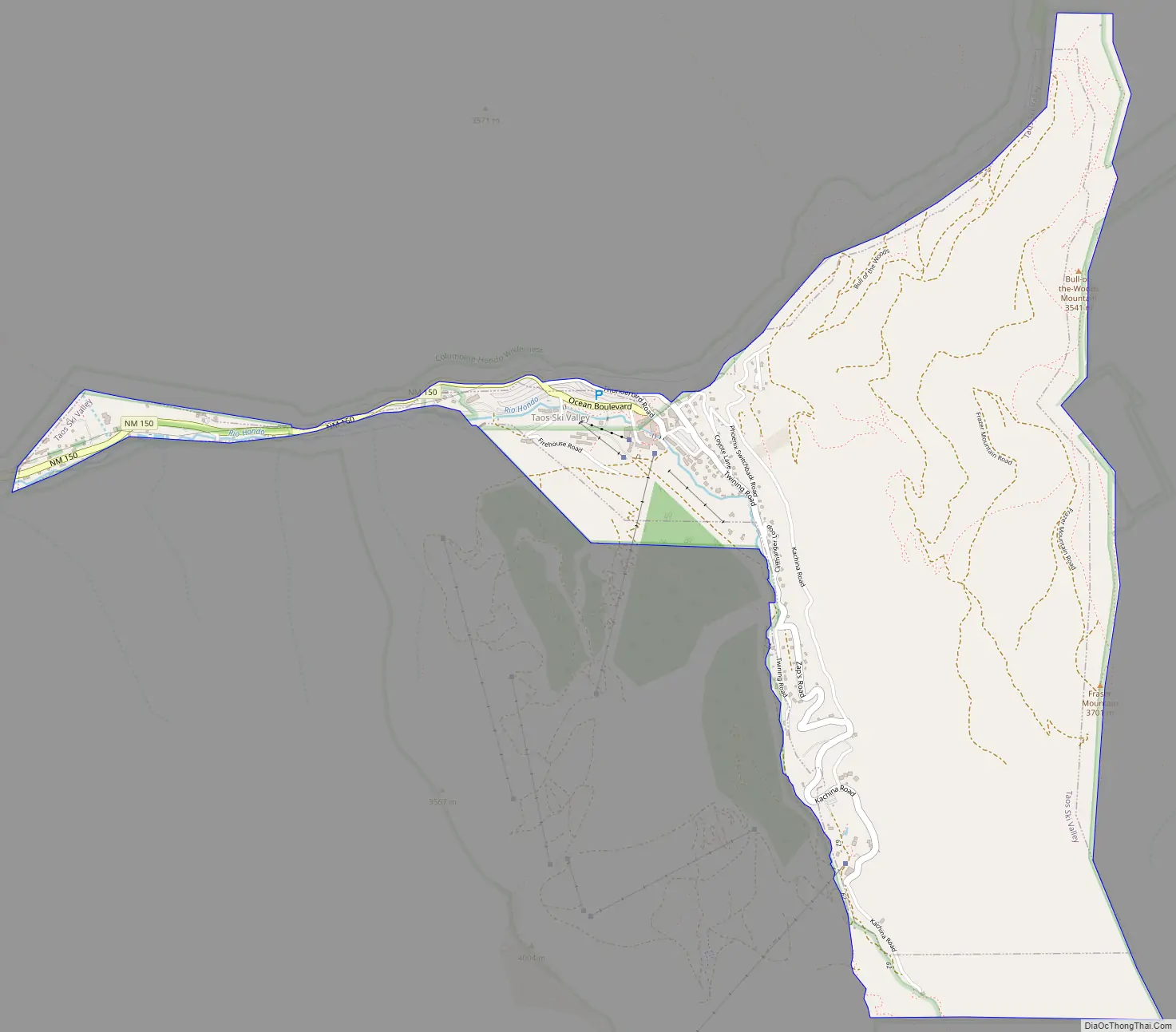
Taos Ski Valley Road Map
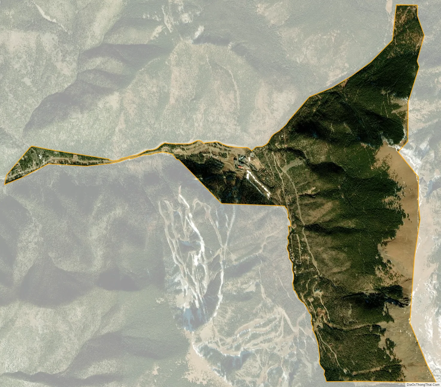
Taos Ski Valley city Satellite Map
Geography
According to the United States Census Bureau, the village has a total area of 2.4 square miles (6.2 km), all land.
Taos Ski Valley is one of the highest municipalities in the US, sited at an elevation of 9,321 feet (2,841 m); however, the village limits reach 12,581 feet (3,835 m) and the highest residential dwelling is at 10,350 feet (3,155 m). Kachina Village, also at over 10,350 feet, houses Bavarian Restaurant and two condo complexes and accommodates six permanent residents and visitors in 30 condo units; 70–80 home sites are planned for development. Wheeler Peak, the tallest mountain in New Mexico at 13,161 feet (4,011 m), overlooks the village.
The village is completely surrounded by Carson National Forest, including bordering designated wilderness.
See also
Map of New Mexico State and its subdivision: Map of other states:- Alabama
- Alaska
- Arizona
- Arkansas
- California
- Colorado
- Connecticut
- Delaware
- District of Columbia
- Florida
- Georgia
- Hawaii
- Idaho
- Illinois
- Indiana
- Iowa
- Kansas
- Kentucky
- Louisiana
- Maine
- Maryland
- Massachusetts
- Michigan
- Minnesota
- Mississippi
- Missouri
- Montana
- Nebraska
- Nevada
- New Hampshire
- New Jersey
- New Mexico
- New York
- North Carolina
- North Dakota
- Ohio
- Oklahoma
- Oregon
- Pennsylvania
- Rhode Island
- South Carolina
- South Dakota
- Tennessee
- Texas
- Utah
- Vermont
- Virginia
- Washington
- West Virginia
- Wisconsin
- Wyoming