Timberon is a census-designated place (CDP) in Otero County, New Mexico, United States, and is within the Sacramento Mountains at the southern edge of the Lincoln National Forest. The population was 309 at the 2000 census.
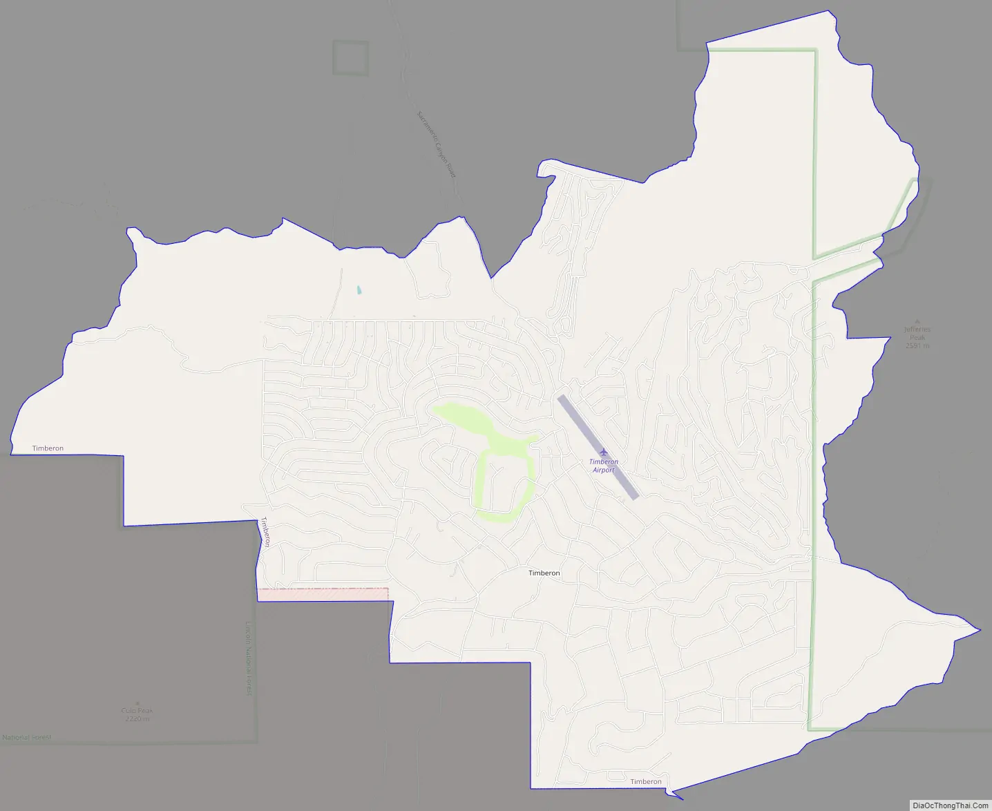
Timberon has a nine-hole golf course, as well as a lodge, a pool, a church, an airstrip and a volunteer fire department. The residents consider it a retirement and resort community. Children are bussed into Cloudcroft for public school.
| Name: | Timberon CDP |
|---|---|
| LSAD Code: | 57 |
| LSAD Description: | CDP (suffix) |
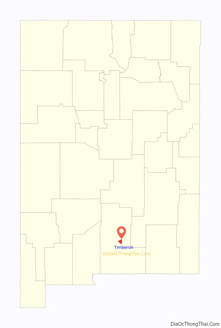
| State: | New Mexico |
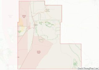
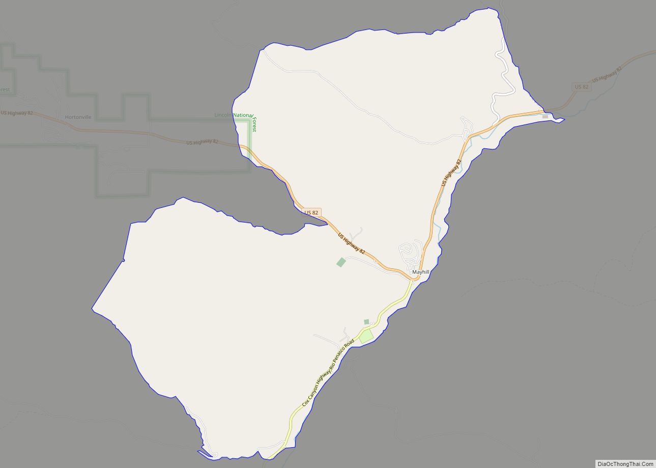
| County: | Otero County |
| Elevation: | 7,000 ft (2,112 m) |
| Total Area: | 20.31 sq mi (52.61 km²) |
| Land Area: | 20.29 sq mi (52.55 km²) |
| Water Area: | 0.02 sq mi (0.06 km²) |
| Total Population: | 345 |
| Population Density: | 17.00/sq mi (6.57/km²) |
| ZIP code: | 88350 |
| Area code: | 575 |
| FIPS code: | 3577950 |
| GNISfeature ID: | 0912792 |
Online Interactive Map
Click on ![]() to view map in "full screen" mode.
to view map in "full screen" mode.
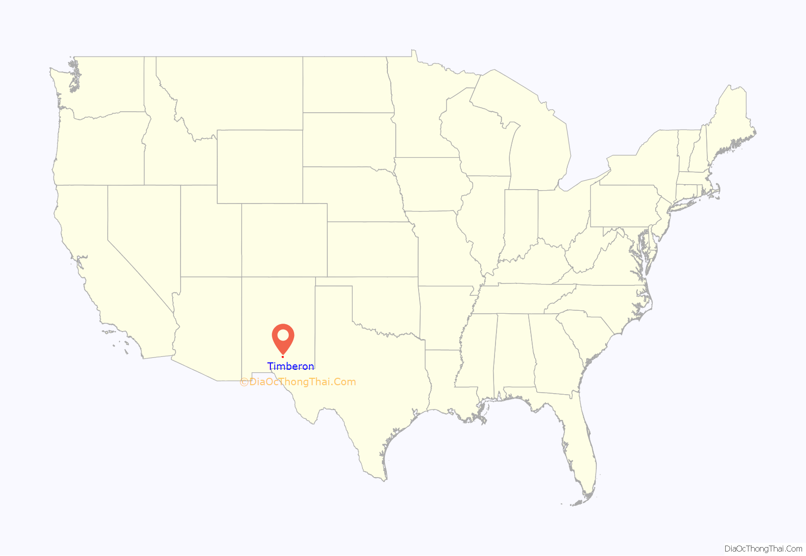
Timberon location map. Where is Timberon CDP?
History
The land that now constitutes the community of Timberon was purchased from the State of New Mexico in 1933 by Judge Paul Moss. Moss had a hunting lodge there and cut some timber. In the 1960s the land was owned by Willie Farah, of El Paso, Texas who built an airstrip there. Development of the community really began when the property was sold to the North American Land Development Corporation in March 1969. The volunteer fire department was begun in 1974, the firehouse was completed in 1981 and the post office opened that same year. In 1976 a missile from White Sands Missile Range went awry and landed in the middle of the community. The road into Timberon was paved in 2005.
In July 2016 a fire destroyed almost eighty structures, including forty-four homes in Timberon.
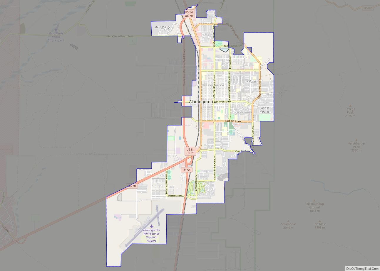
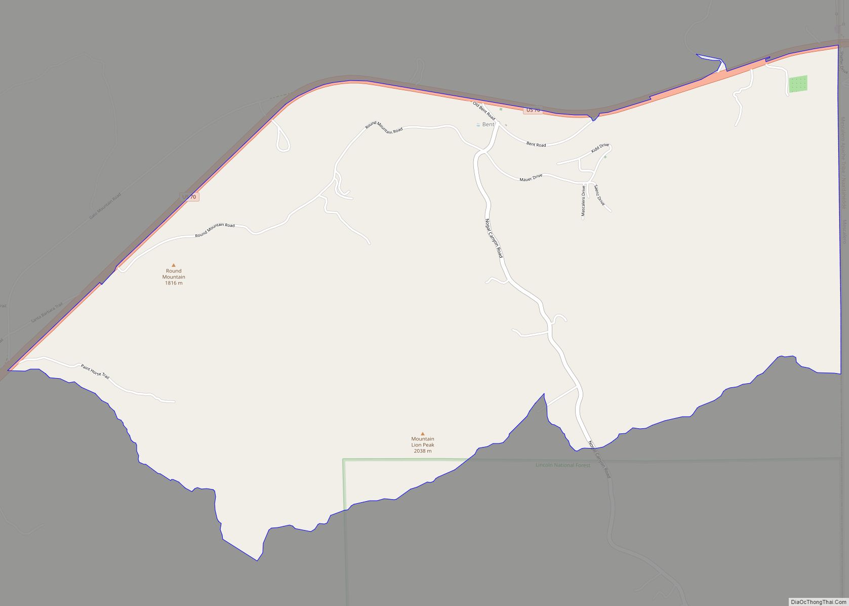
Timberon Road Map
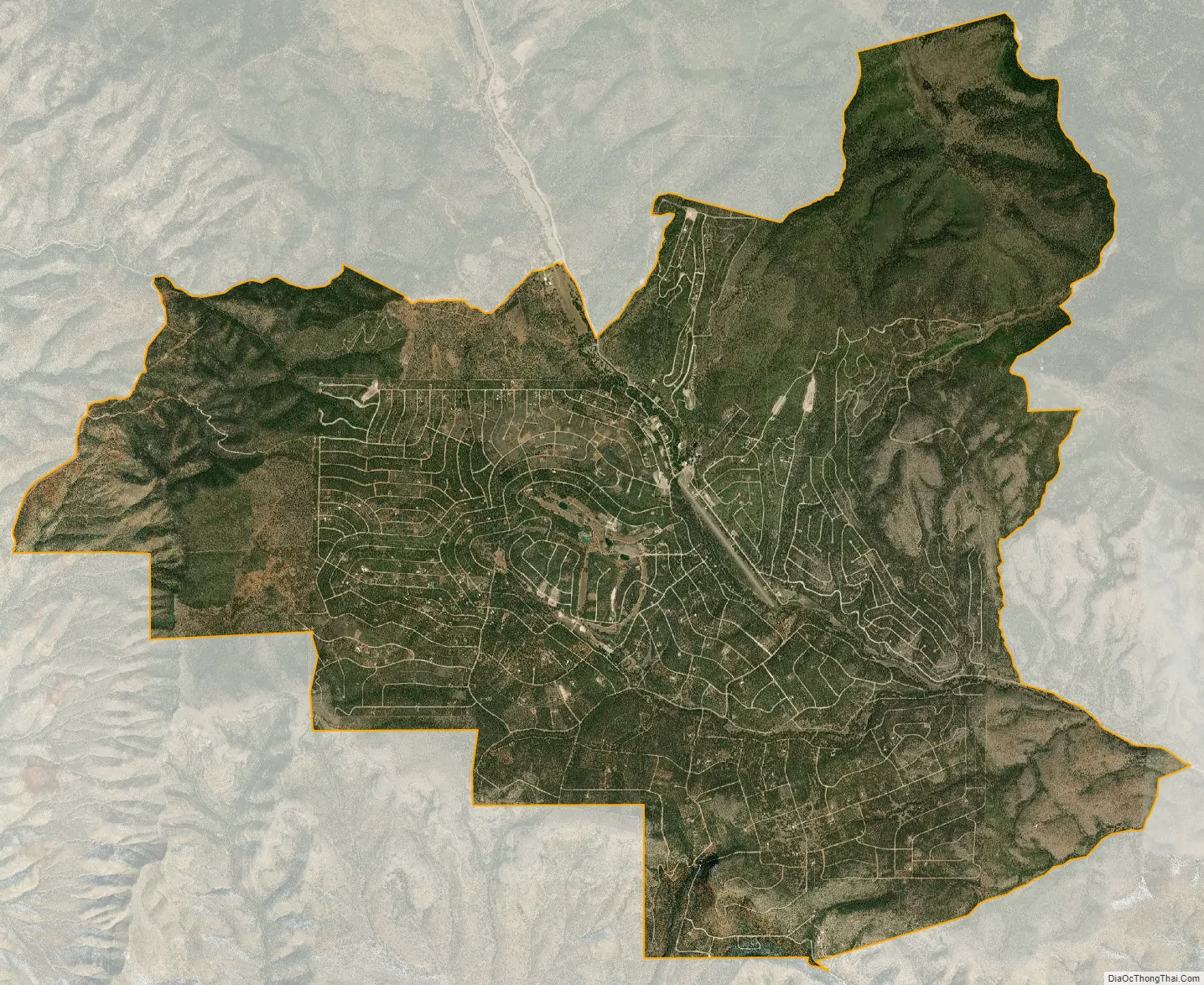
Timberon city Satellite Map
Geography
Timberon is located at 32°37′54″N 105°41′32″W / 32.63167°N 105.69222°W / 32.63167; -105.69222 (32.631675, -105.692254). Timberon is located in a forested valley, known as Sacramento Canyon, on the southern slopes of the Sacramento Mountains. The Sacramento Creek, an intermittent creek, flows southeast through the valley. The community extends up several crosscutting canyons including Arkansas Canyon, Graveyard Canyon and Carrisa Canyon. The elevation in Timberon varies from 6,900 to 7,200 feet. Jefferies Peak at 8,501 feet (2,591 m) is located directly to the east of the valley, and Culp Peak at 7,280 feet (2,219 m) lies to the west.
According to the United States Census Bureau, the CDP has a total area of 20.2 square miles (52 km), all land.
See also
Map of New Mexico State and its subdivision: Map of other states:- Alabama
- Alaska
- Arizona
- Arkansas
- California
- Colorado
- Connecticut
- Delaware
- District of Columbia
- Florida
- Georgia
- Hawaii
- Idaho
- Illinois
- Indiana
- Iowa
- Kansas
- Kentucky
- Louisiana
- Maine
- Maryland
- Massachusetts
- Michigan
- Minnesota
- Mississippi
- Missouri
- Montana
- Nebraska
- Nevada
- New Hampshire
- New Jersey
- New Mexico
- New York
- North Carolina
- North Dakota
- Ohio
- Oklahoma
- Oregon
- Pennsylvania
- Rhode Island
- South Carolina
- South Dakota
- Tennessee
- Texas
- Utah
- Vermont
- Virginia
- Washington
- West Virginia
- Wisconsin
- Wyoming