Torreon is a farming community and census-designated place (CDP) in Torrance County, New Mexico, United States. The population was 244 at the 2000 census. It is part of the Albuquerque Metropolitan Statistical Area.
| Name: | Torreon CDP |
|---|---|
| LSAD Code: | 57 |
| LSAD Description: | CDP (suffix) |
| State: | New Mexico |
| County: | Torrance County |
| FIPS code: | 3579140 |
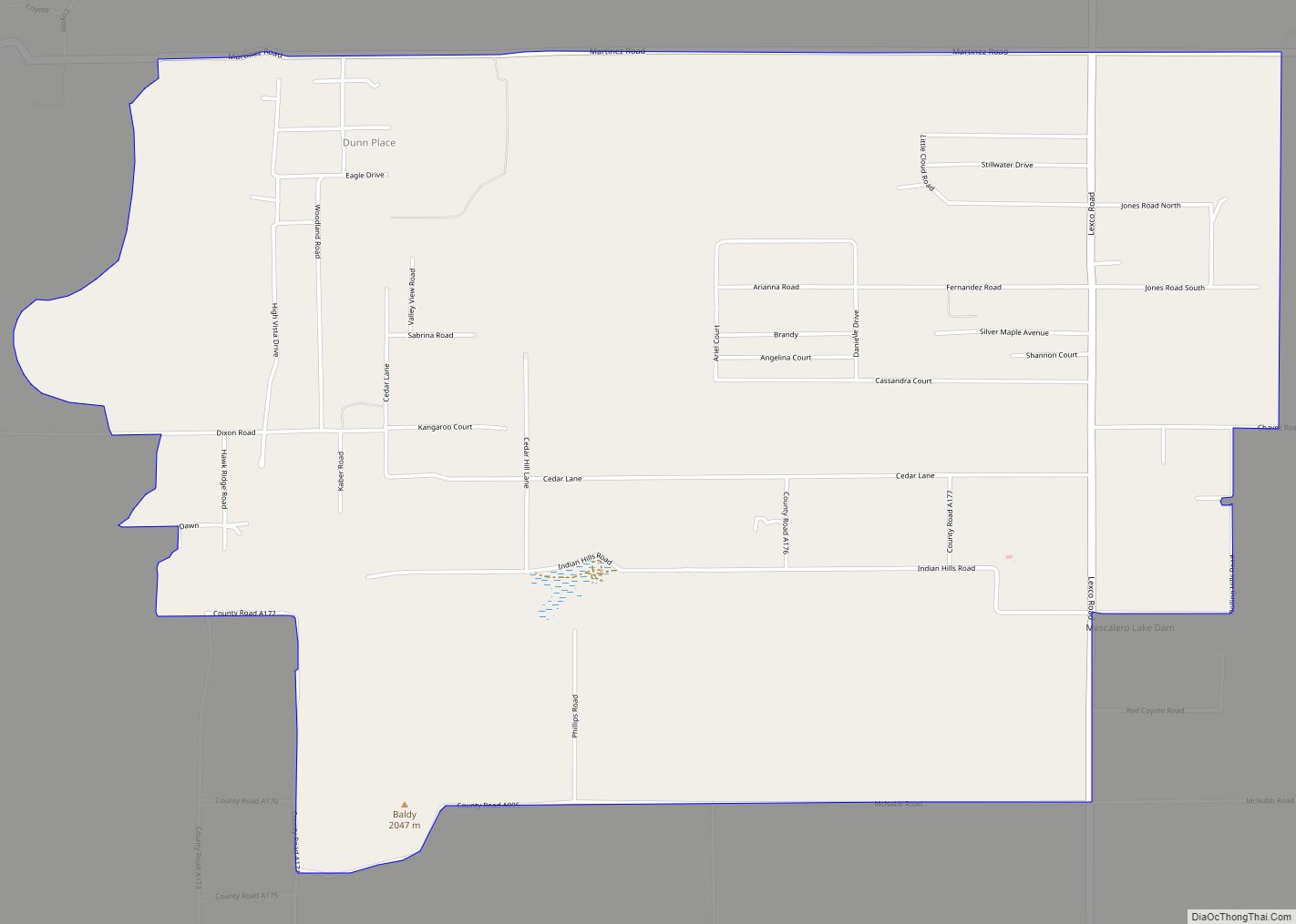
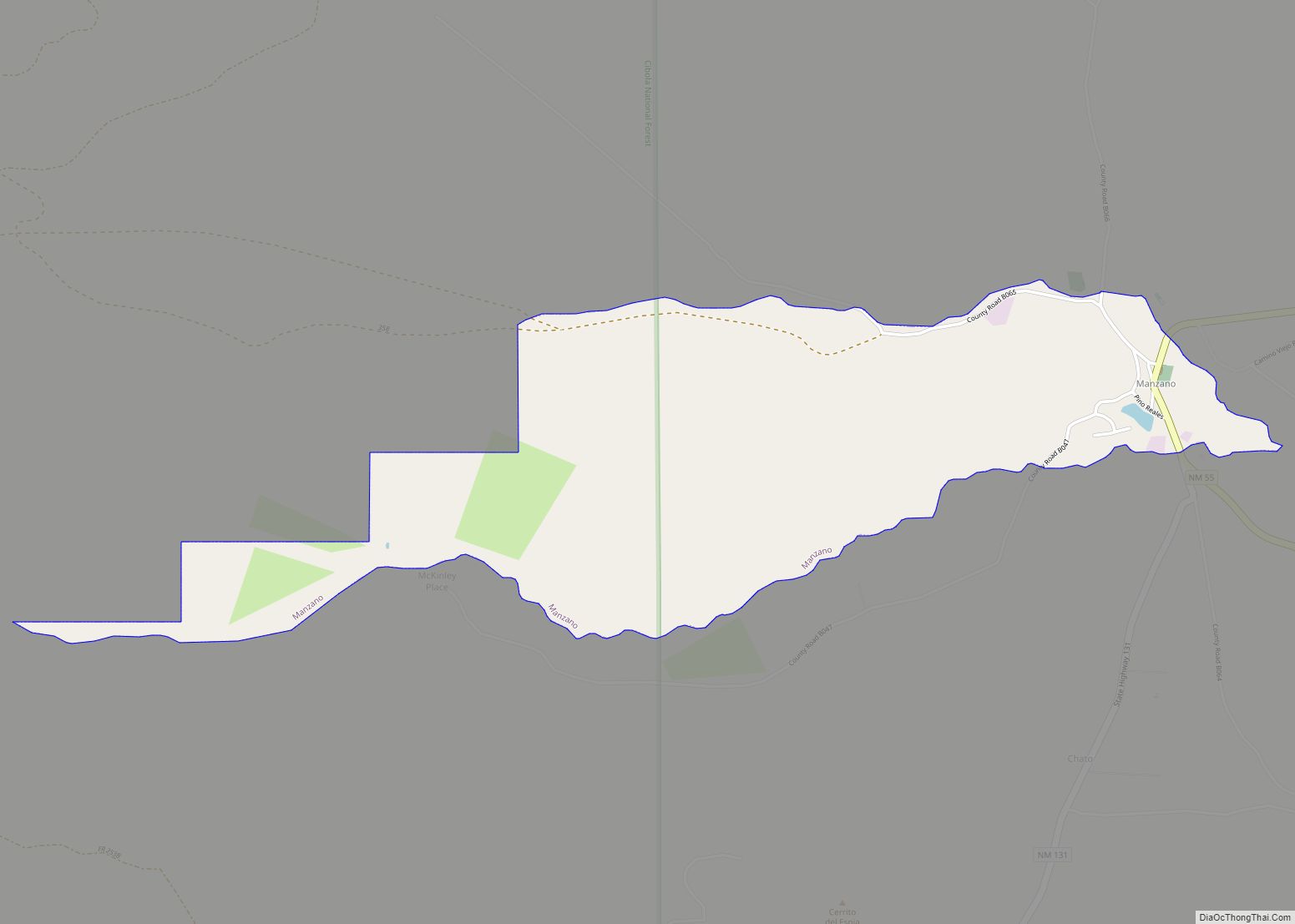
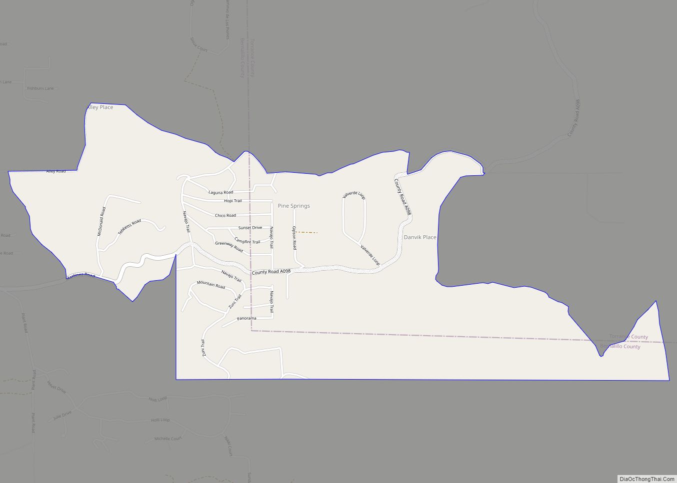
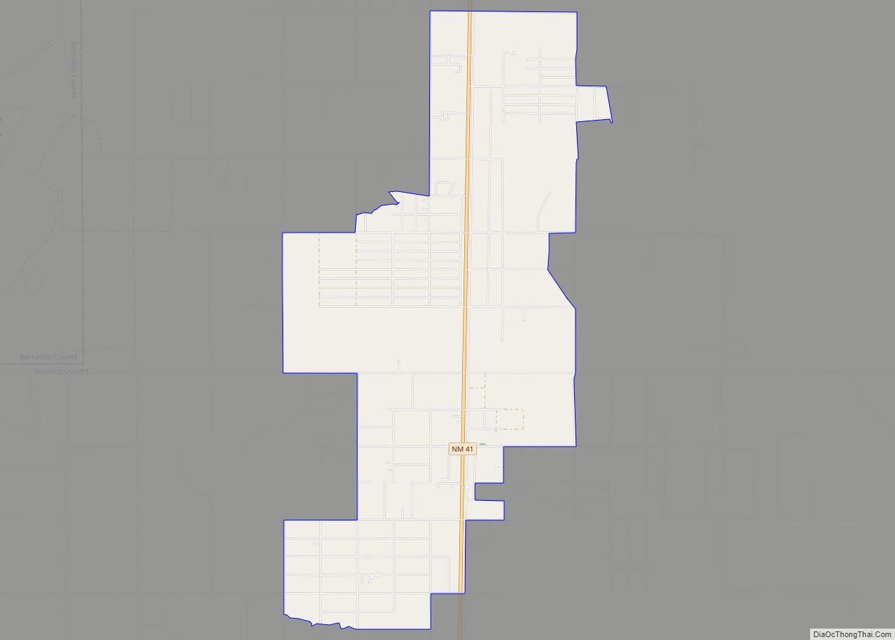
Online Interactive Map
Click on ![]() to view map in "full screen" mode.
to view map in "full screen" mode.
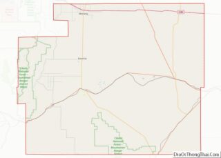
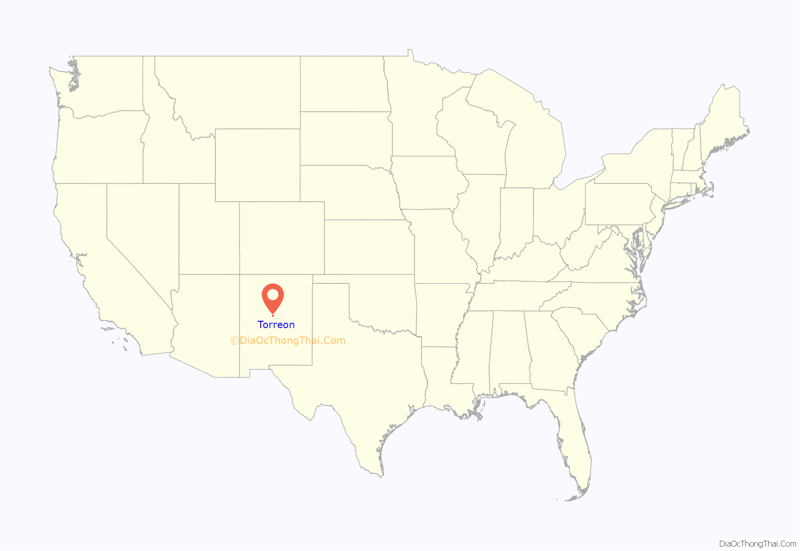
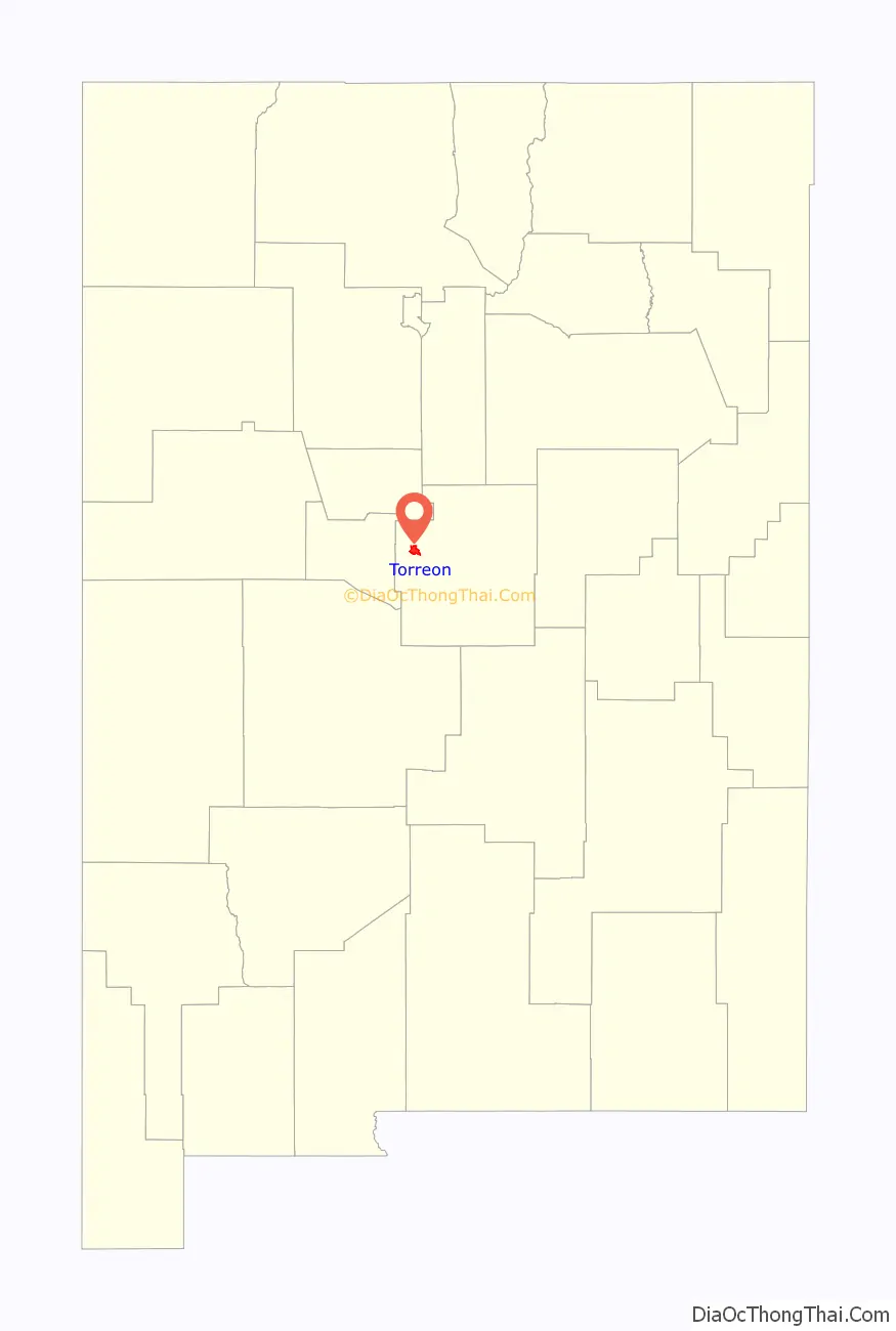
Torreon location map. Where is Torreon CDP?
History
Torreon is built on the site of an old Piro pueblo one of the more northern of the Salinas pueblos. The Piro site was occupied prior to the arrival of the Spanish in the 16th century, but became part of the Salinas District, a group of mission towns on the east side of the Manzano Mountains. As the Apache moved south along the edge of the Rocky Mountains in the mid-17th century these missions had to become more defensible. However, by 1677 the Torreon site had been abandoned. Iis has a population of 608–836.
Torreon was resettled in the Spring of 1841 by Nino Antonio Montoya and twenty-six other farmers under a grant from the Prefect of the Central District of New Mexico. The Torreon Grant was named after the defensive towers built at Manzano 6.6 miles to the south, and consisted of an area approximately three miles east–west by six miles north–south. Apache raids remained a serious problem until after the Civil War and the appointment of Edward Hatch as New Mexico Military District commander.
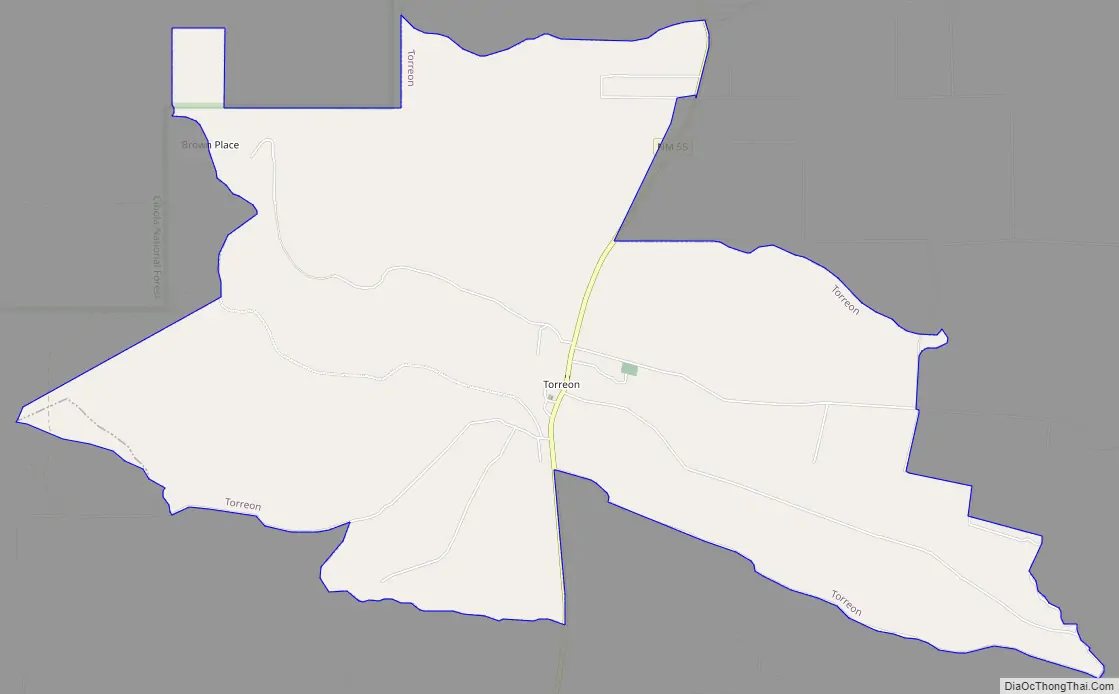
Torreon Road Map
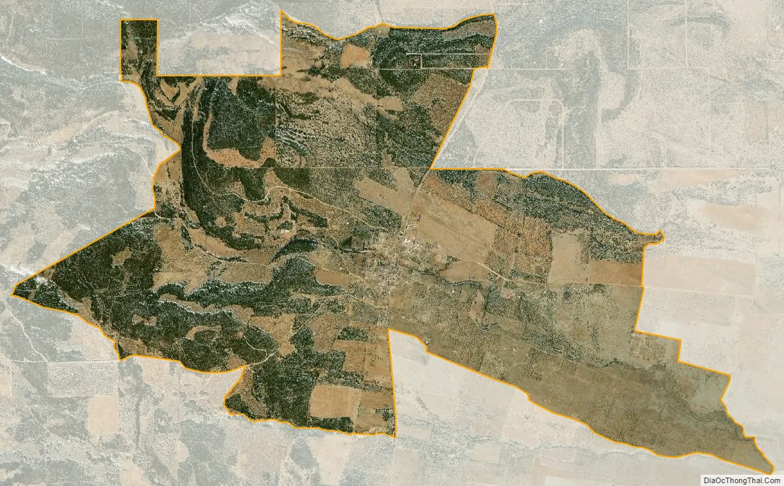
Torreon city Satellite Map
Geography
Torreon is located on NM State Route 55 on the eastern slopes of the Manzano Mountains at 34°43′27″N 106°17′50″W / 34.724240°N 106.297148°W / 34.724240; -106.297148Coordinates: 34°43′27″N 106°17′50″W / 34.724240°N 106.297148°W / 34.724240; -106.297148.
According to the United States Census Bureau, the CDP has a total area of 8.3 square miles (21.5 km), all land.
See also
Map of New Mexico State and its subdivision: Map of other states:- Alabama
- Alaska
- Arizona
- Arkansas
- California
- Colorado
- Connecticut
- Delaware
- District of Columbia
- Florida
- Georgia
- Hawaii
- Idaho
- Illinois
- Indiana
- Iowa
- Kansas
- Kentucky
- Louisiana
- Maine
- Maryland
- Massachusetts
- Michigan
- Minnesota
- Mississippi
- Missouri
- Montana
- Nebraska
- Nevada
- New Hampshire
- New Jersey
- New Mexico
- New York
- North Carolina
- North Dakota
- Ohio
- Oklahoma
- Oregon
- Pennsylvania
- Rhode Island
- South Carolina
- South Dakota
- Tennessee
- Texas
- Utah
- Vermont
- Virginia
- Washington
- West Virginia
- Wisconsin
- Wyoming