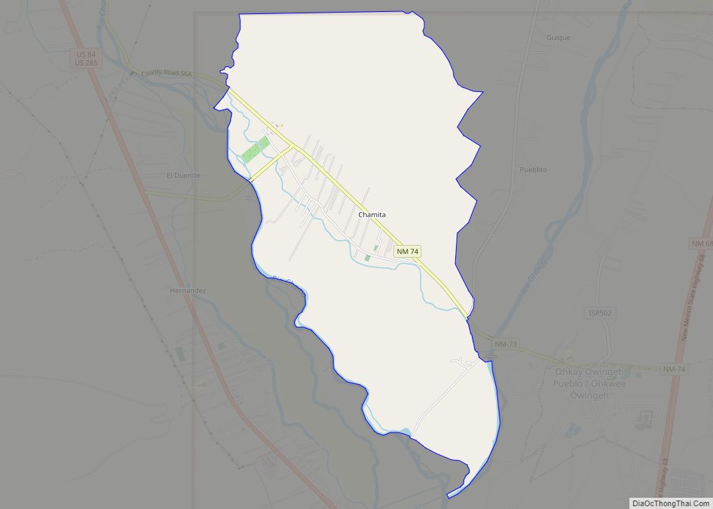
Truchas is a census-designated place in Rio Arriba County, New Mexico, United States. Located along the scenic High Road to Taos, it is halfway between Santa Fe in the south, and Taos to the north.
Truchas has the ZIP code 87578. The 87578 ZIP Code Tabulation Area, which includes the nearby village of Cordova, New Mexico, had a population of 560 at the 2010 census.
| Name: | Truchas CDP |
|---|---|
| LSAD Code: | 57 |
| LSAD Description: | CDP (suffix) |
| State: | New Mexico |
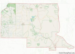
| County: | Rio Arriba County |
| FIPS code: | 3579700 |
Online Interactive Map
Click on ![]() to view map in "full screen" mode.
to view map in "full screen" mode.
Truchas location map. Where is Truchas CDP?
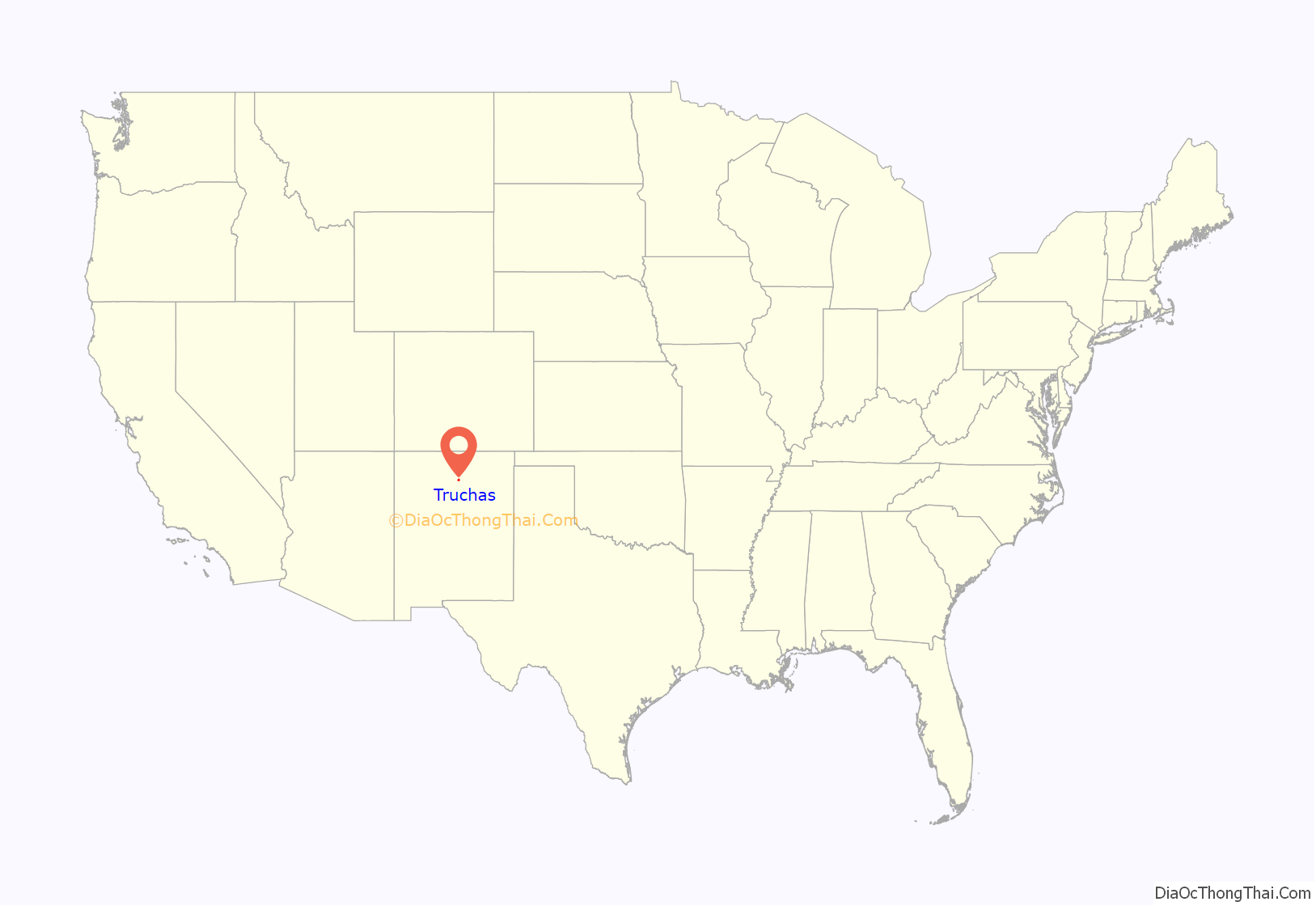
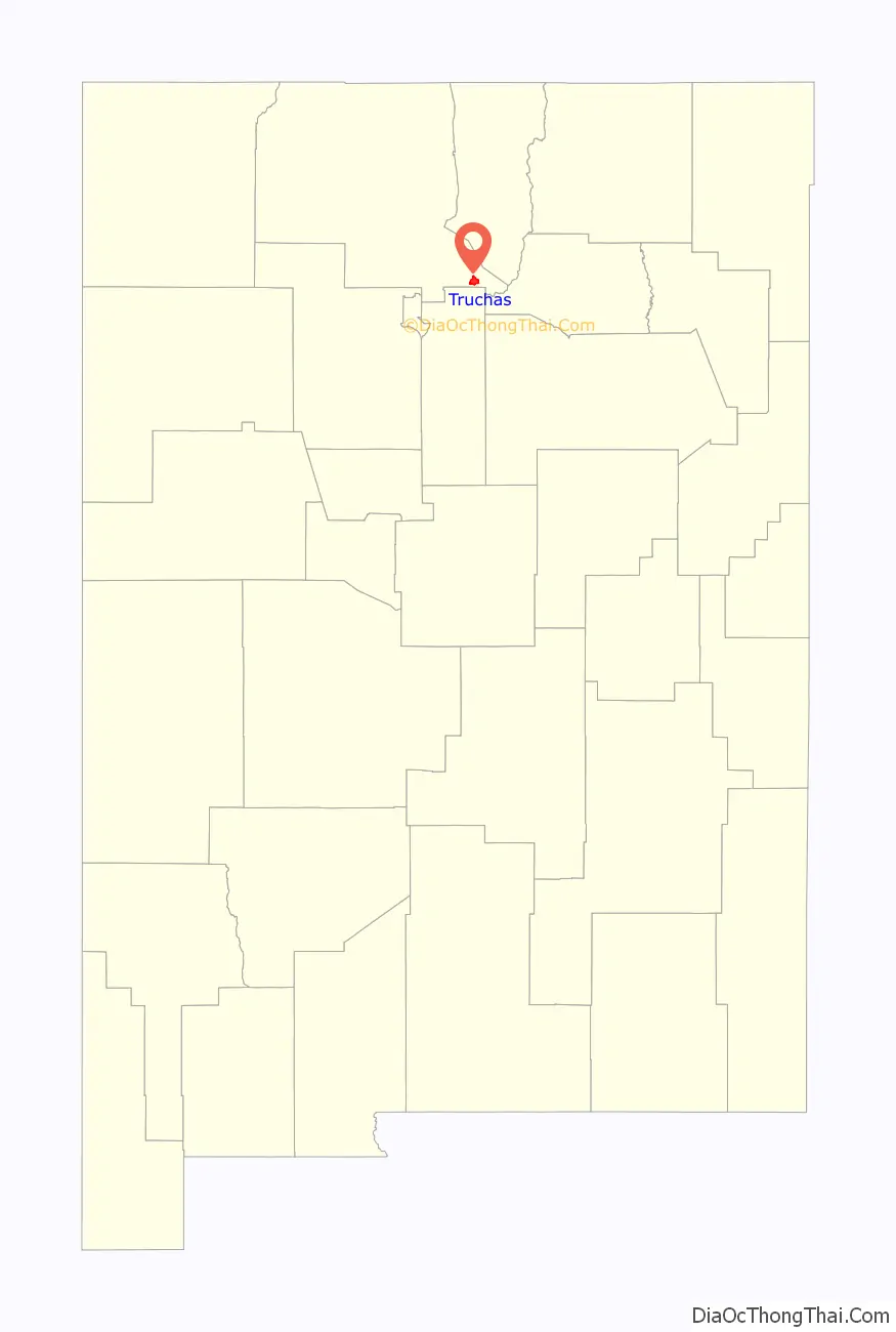
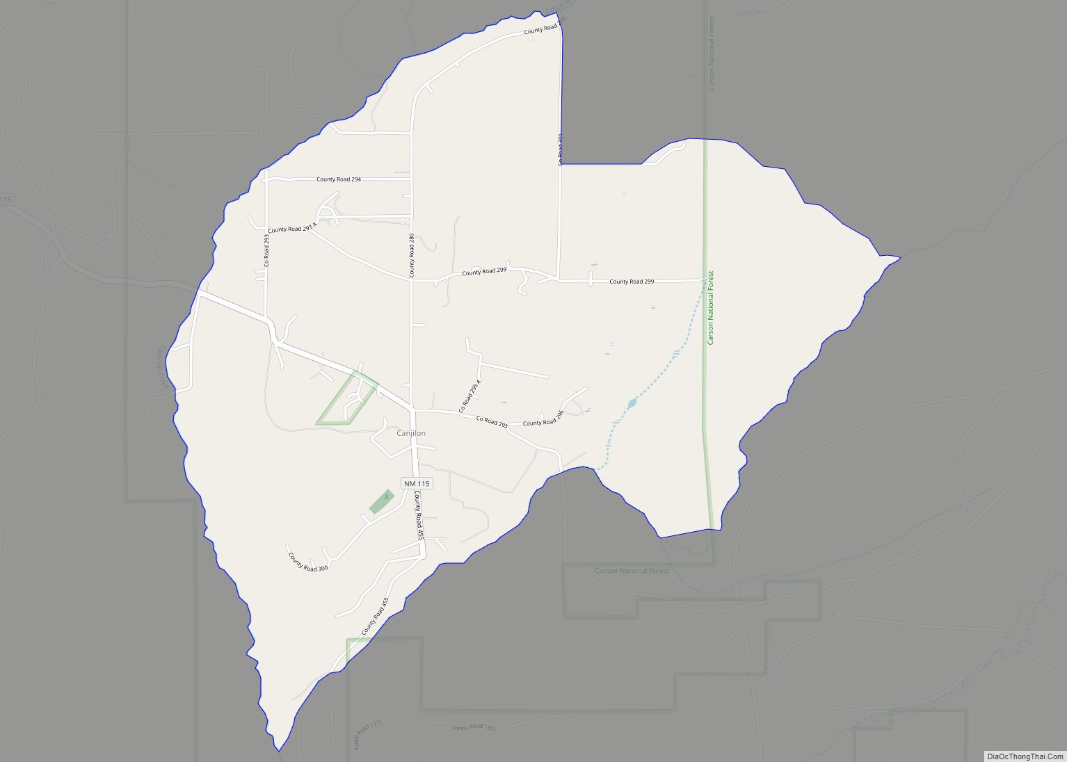
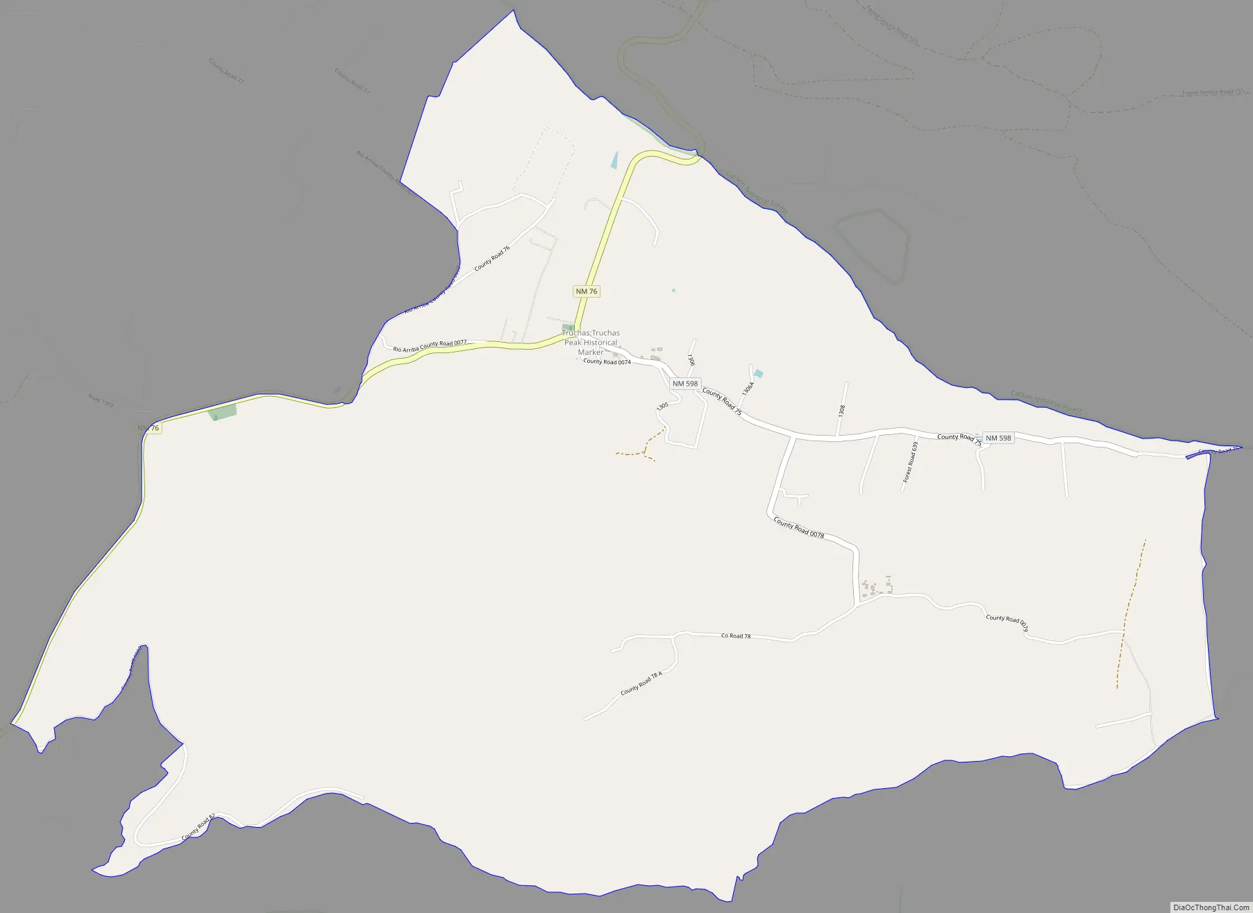
Truchas Road Map
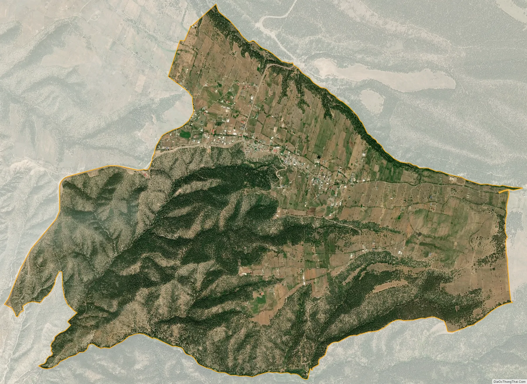
Truchas city Satellite Map
See also
Map of New Mexico State and its subdivision: Map of other states:- Alabama
- Alaska
- Arizona
- Arkansas
- California
- Colorado
- Connecticut
- Delaware
- District of Columbia
- Florida
- Georgia
- Hawaii
- Idaho
- Illinois
- Indiana
- Iowa
- Kansas
- Kentucky
- Louisiana
- Maine
- Maryland
- Massachusetts
- Michigan
- Minnesota
- Mississippi
- Missouri
- Montana
- Nebraska
- Nevada
- New Hampshire
- New Jersey
- New Mexico
- New York
- North Carolina
- North Dakota
- Ohio
- Oklahoma
- Oregon
- Pennsylvania
- Rhode Island
- South Carolina
- South Dakota
- Tennessee
- Texas
- Utah
- Vermont
- Virginia
- Washington
- West Virginia
- Wisconsin
- Wyoming