Vado is an unincorporated community and census-designated place (CDP) in Doña Ana County, New Mexico, United States. The population was 3,194 at the 2010 census. The ZIP code for Vado is 88072, its area code is 575, and it is part of the Las Cruces Metropolitan Statistical Area.
| Name: | Vado CDP |
|---|---|
| LSAD Code: | 57 |
| LSAD Description: | CDP (suffix) |
| State: | New Mexico |
| County: | Doña Ana County |
| Elevation: | 3,822 ft (1,165 m) |
| Total Area: | 2.98 sq mi (7.71 km²) |
| Land Area: | 2.98 sq mi (7.71 km²) |
| Water Area: | 0.00 sq mi (0.00 km²) |
| Total Population: | 2,930 |
| Population Density: | 983.88/sq mi (379.87/km²) |
| ZIP code: | 88048, 88072 |
| Area code: | 575 |
| FIPS code: | 3581590 |
| GNISfeature ID: | 0920727 |
Online Interactive Map
Click on ![]() to view map in "full screen" mode.
to view map in "full screen" mode.
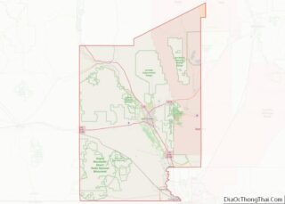
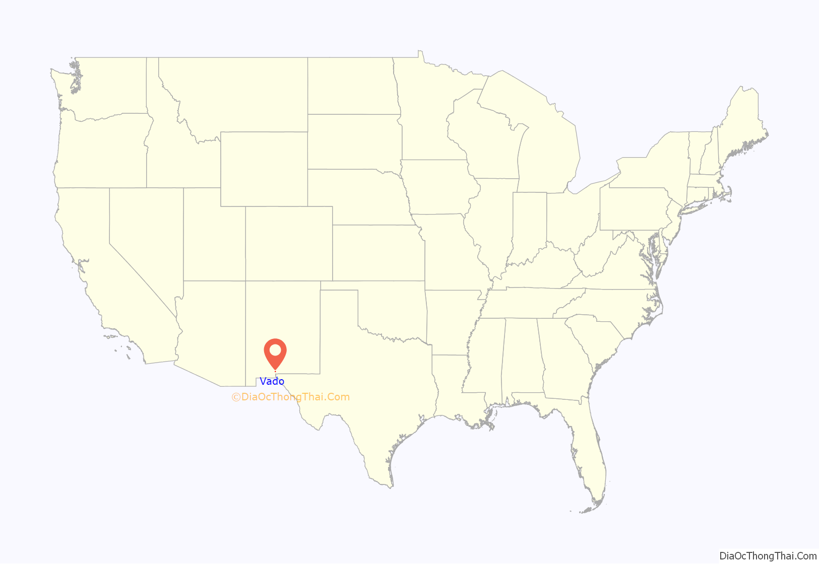
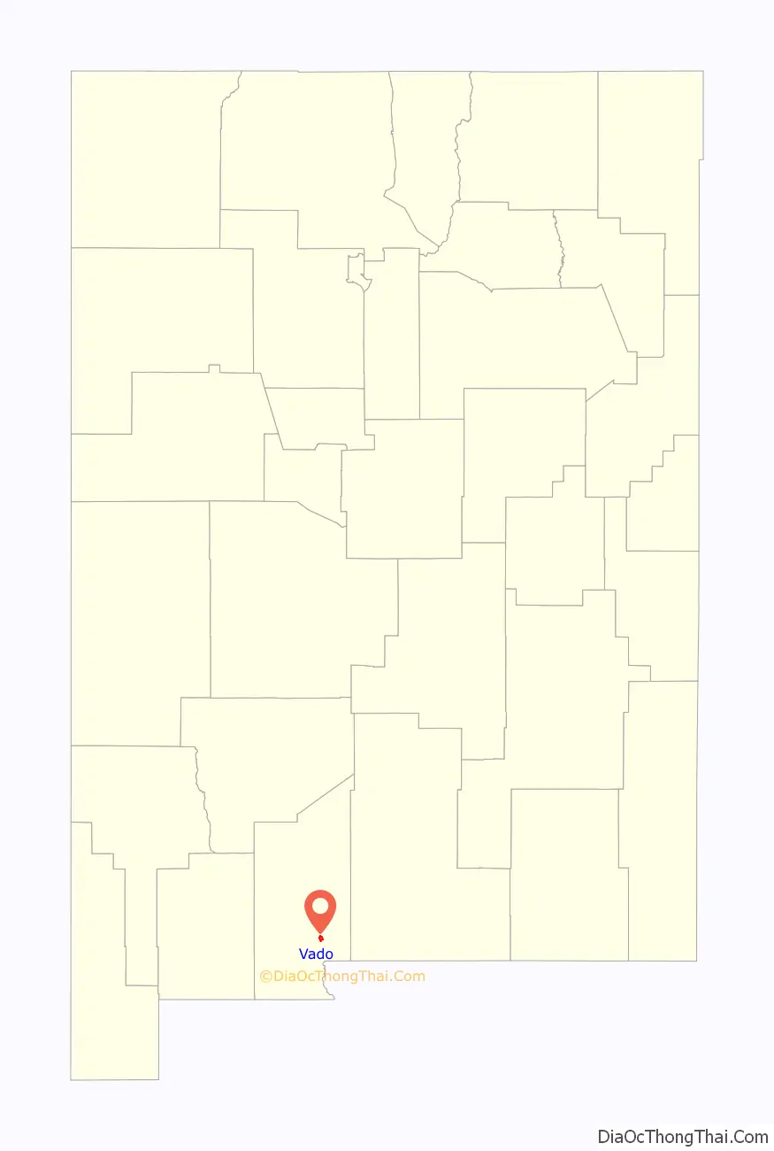
Vado location map. Where is Vado CDP?
History
Founded in 1920 by Francis “Frank” Marion Boyer and his wife Ella Louise, after the previous freedom colony they founded, Blackdom, New Mexico, became a ghost town due to water well issues.
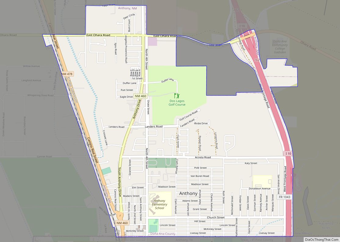
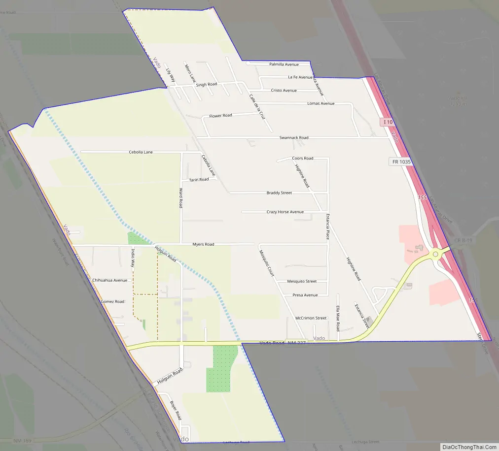
Vado Road Map
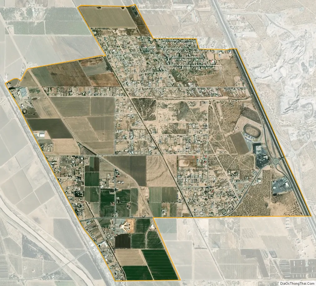
Vado city Satellite Map
Geography
Vado is located in southeastern Doña Ana County at 32°7′45″N 106°39′4″W / 32.12917°N 106.65111°W / 32.12917; -106.65111 (32.129233, -106.651006). It is in the Mesilla Valley, on the east side of the Rio Grande. Interstate 10 forms the eastern edge of the CDP, with access from Exit 155. I-10 leads north 17 miles (27 km) to Las Cruces, the county seat, and south 32 miles (51 km) to El Paso, Texas.
According to the United States Census Bureau, the CDP has a total area of 3.0 square miles (7.7 km), all land.
See also
Map of New Mexico State and its subdivision: Map of other states:- Alabama
- Alaska
- Arizona
- Arkansas
- California
- Colorado
- Connecticut
- Delaware
- District of Columbia
- Florida
- Georgia
- Hawaii
- Idaho
- Illinois
- Indiana
- Iowa
- Kansas
- Kentucky
- Louisiana
- Maine
- Maryland
- Massachusetts
- Michigan
- Minnesota
- Mississippi
- Missouri
- Montana
- Nebraska
- Nevada
- New Hampshire
- New Jersey
- New Mexico
- New York
- North Carolina
- North Dakota
- Ohio
- Oklahoma
- Oregon
- Pennsylvania
- Rhode Island
- South Carolina
- South Dakota
- Tennessee
- Texas
- Utah
- Vermont
- Virginia
- Washington
- West Virginia
- Wisconsin
- Wyoming