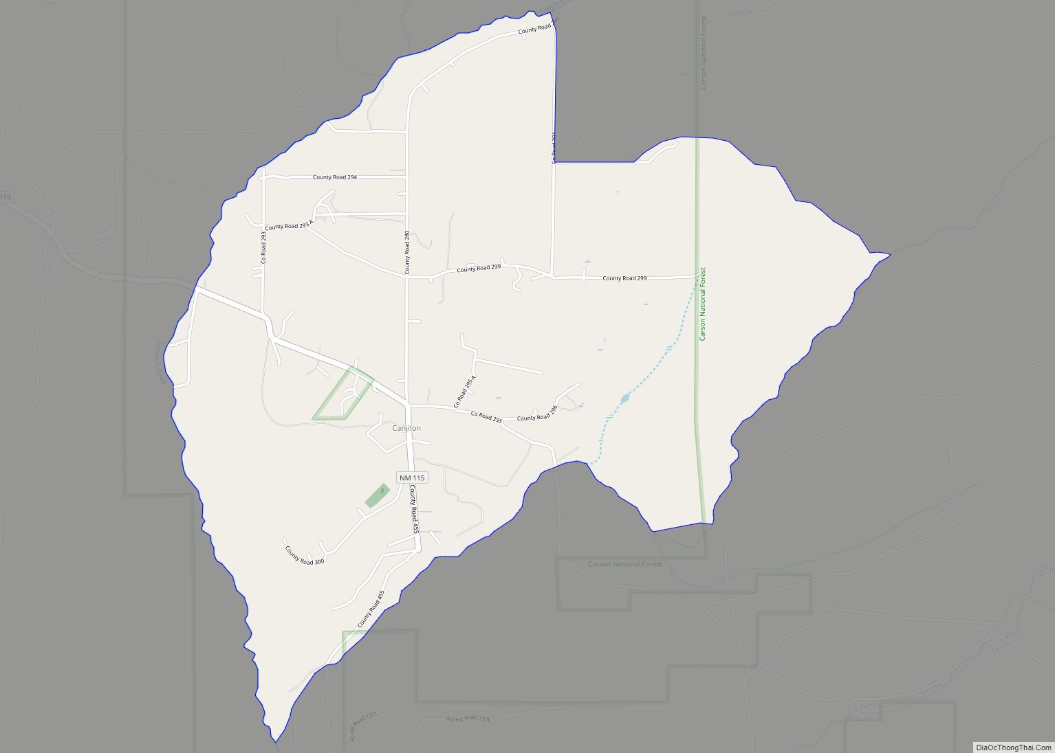
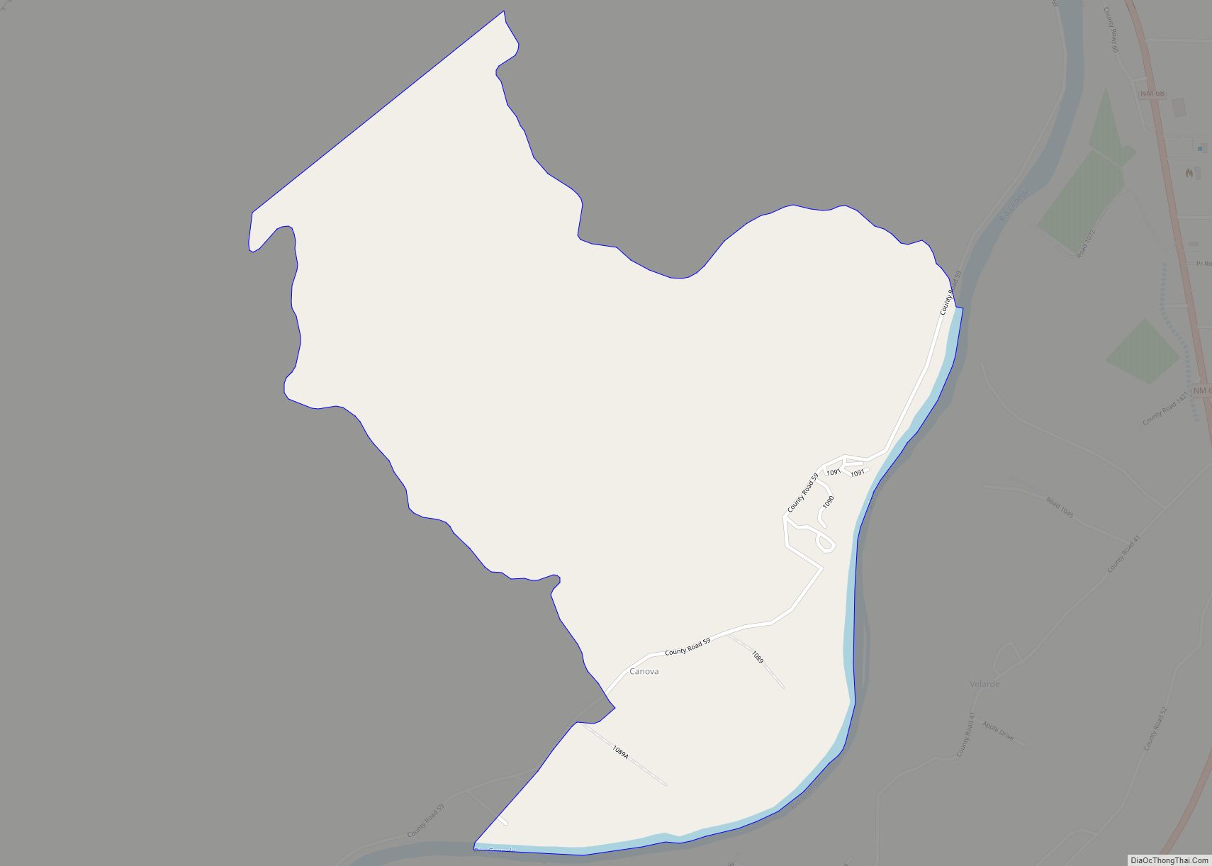
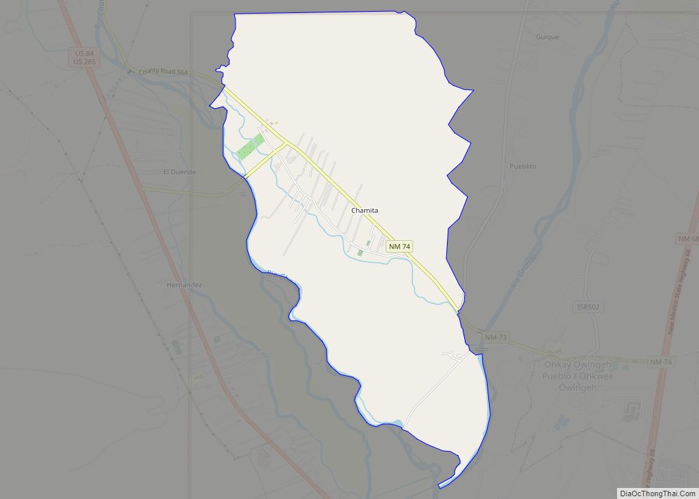
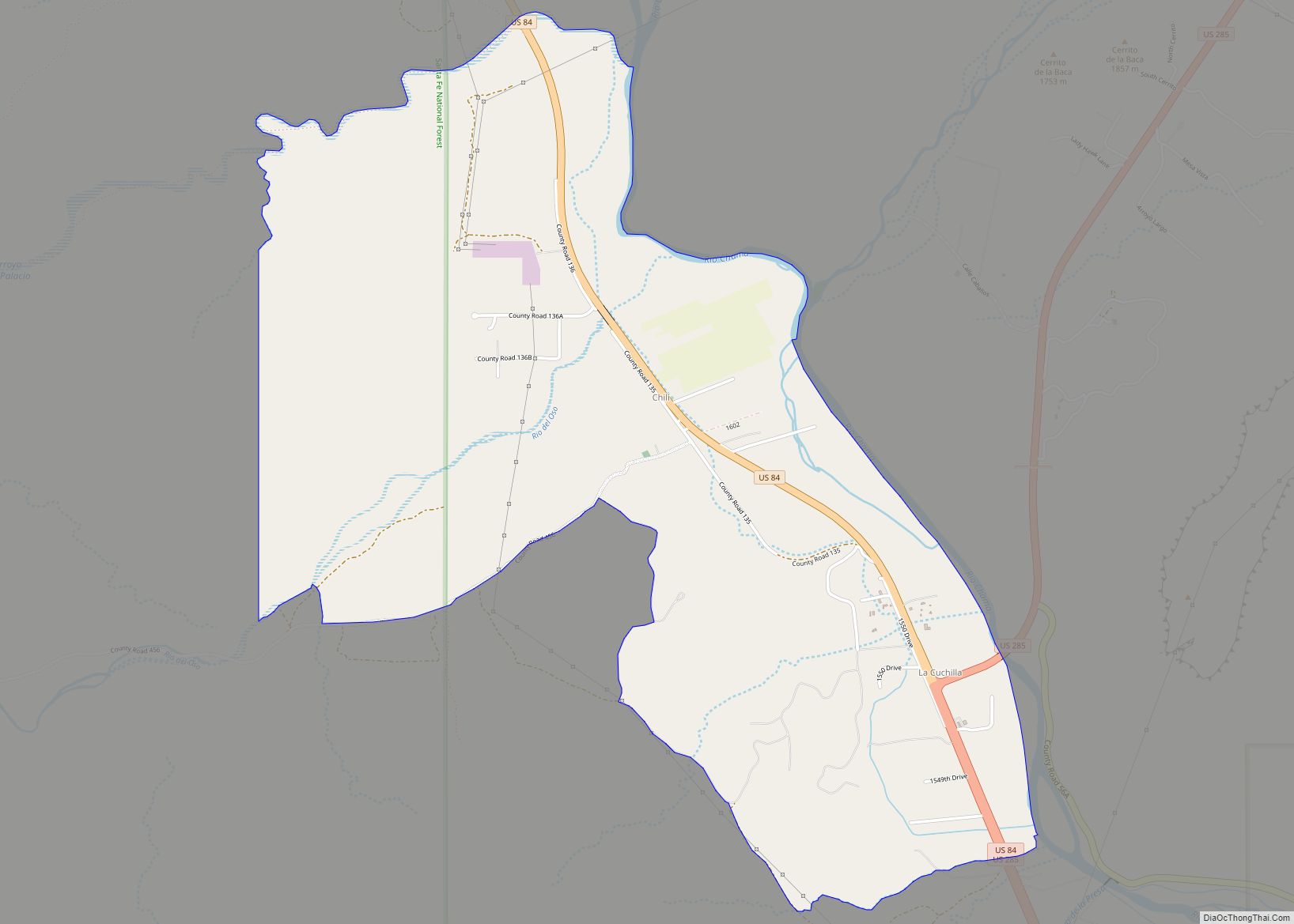
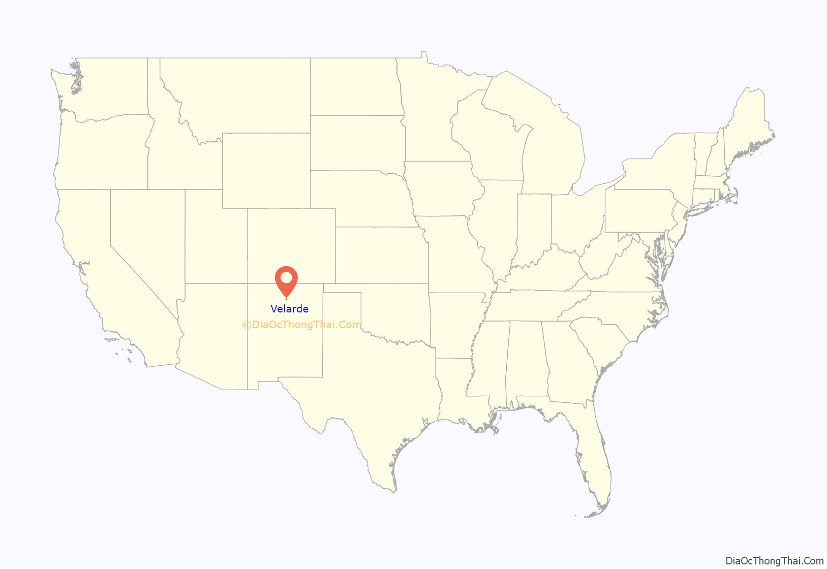
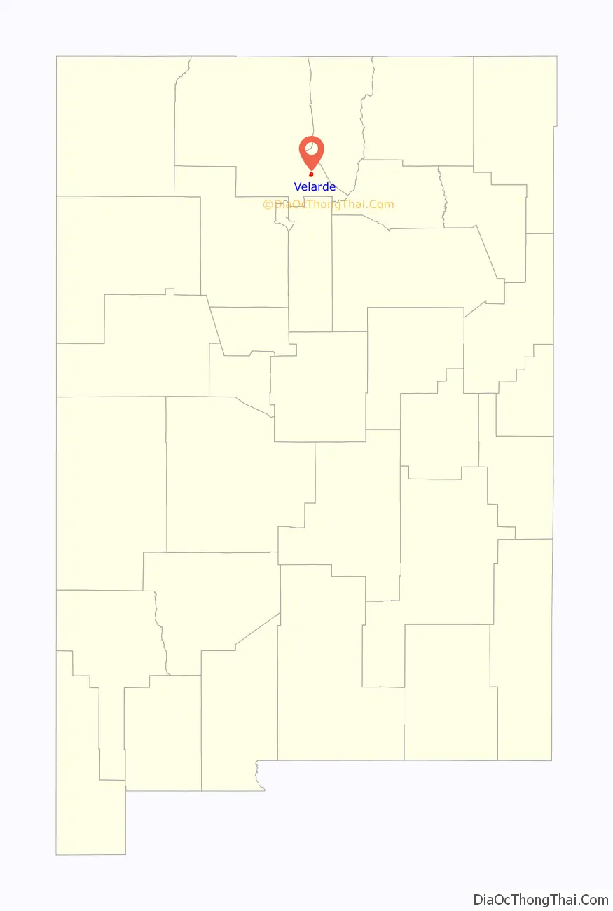
Velarde is a census-designated place (CDP) in Rio Arriba County, New Mexico, United States. The population was 502 at the time of the 2010 census. Velarde is located on New Mexico State Road 68, in the Rio Grande Rift, at the point where the road enters the Rio Grande Gorge.
In 1750, Juan Matias Velarde settled Velarde, (2012 New Mexico Blue Book) at the time named La Joya after his Spanish-born ancestor, Juan Antonio Pérez Velarde, who settled near El Paso del Río del Norte (present Ciudad Juárez, Mexico) in 1725. His move to this Rio Grande settlement encouraged other members of his family to move north into colonial New Mexico in the mid-18th century.
In 1750 Juan Matias Velarde, who established the town as “La Joya”, the name most likely originating from a 1712 Spanish land grant given to Sebastian Martin in the post-Pueblo Revolt resettlement of the region. This was likely a misspelling of “La Joya,” which translates from Spanish as “The Jewel”. The Tewa name for the location was Phahu’bu’u, or Tsigubu’u, which meant “basin of the chico bush or rabbit thorn”.
The community, located at the mouth of the Rio Grande canyon along the Low Road to Taos (not really part of the Camino Real, despite the ancient pathway over Embudo Pass being designated so by a historical marker ), had through its Spanish-settled history served mostly as a peaceful resting spot for passing travelers, especially for those heading north out of the low river country.
During the Taos Revolt in the latter part of the Mexican–American War, however, it was part of the scene of the Battle of Embudo Pass, which took place on January 29, 1847. Despite the shelter of “dense masses of cedar and large fragments of rock” that were formed into defensive positions, the Tewa warriors and Mexican defenders in the battle were routed by U.S. Col. Sterling Price, military governor, and his Missouri Mounted Volunteers, leading to the U.S. siege of Taos Pueblo less than a week’s forced march later. Etches of crosses still mark the rocks near where the 20 local fighters had fallen. A map drawn at that time by the invading Americans referred to the settlement simply as “Joya.”
Sometime after the battle, Col. Edwin Vose Sumner, who later served as military governor of New Mexico between 1851 and 1853, sent a Major Gordon with a detachment of infantry to establish a post below the Rio Grande canyon in present Velarde, but no sooner had his men settled in, the unit was ordered to return to Taos.
Although originally a part of the San Antonio de Embudo parish (based at Dixon), the village contains a mission church, called the “Iglesia de la Virgen de Guadalupe.” Burials sometimes took place here, but mostly were conducted at the Velarde Cemetery. Marriages were conducted sometimes at the San Antonio church in Dixon, but more often were held in the Catholic church of San Juan de los Caballeros (present Ohkay Owingeh).
Orchards and vineyards were mentioned in an 1892 news report, but the first commercial apple-growing enterprises emerged only in the late 1920s. Roadside stands greeted passing travelers when a modern highway was constructed to Taos through the village along the Rio Grande.
| Name: | Velarde CDP |
|---|---|
| LSAD Code: | 57 |
| LSAD Description: | CDP (suffix) |
| State: | New Mexico |
| County: | Rio Arriba County |
| FIPS code: | 3582710 |
Online Interactive Map
Click on ![]() to view map in "full screen" mode.
to view map in "full screen" mode.
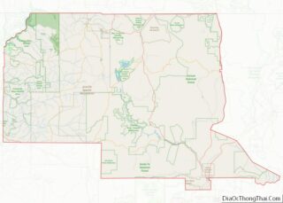
Velarde location map. Where is Velarde CDP?
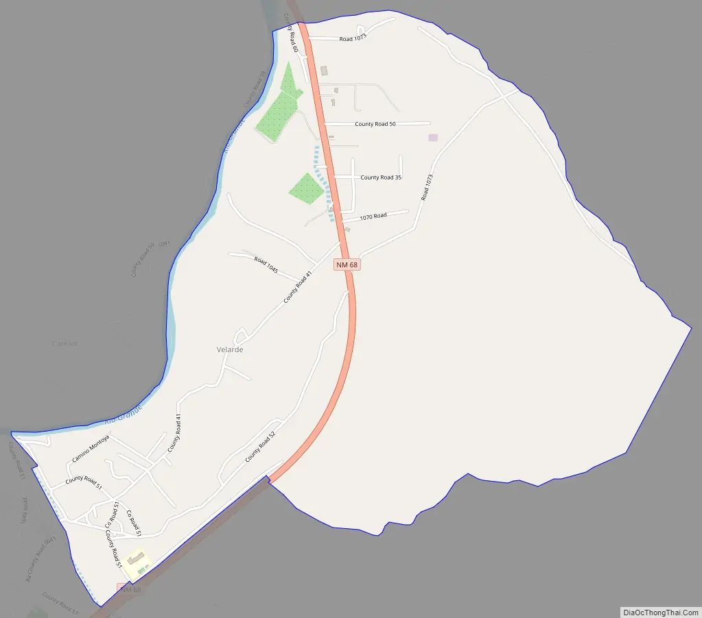
Velarde Road Map
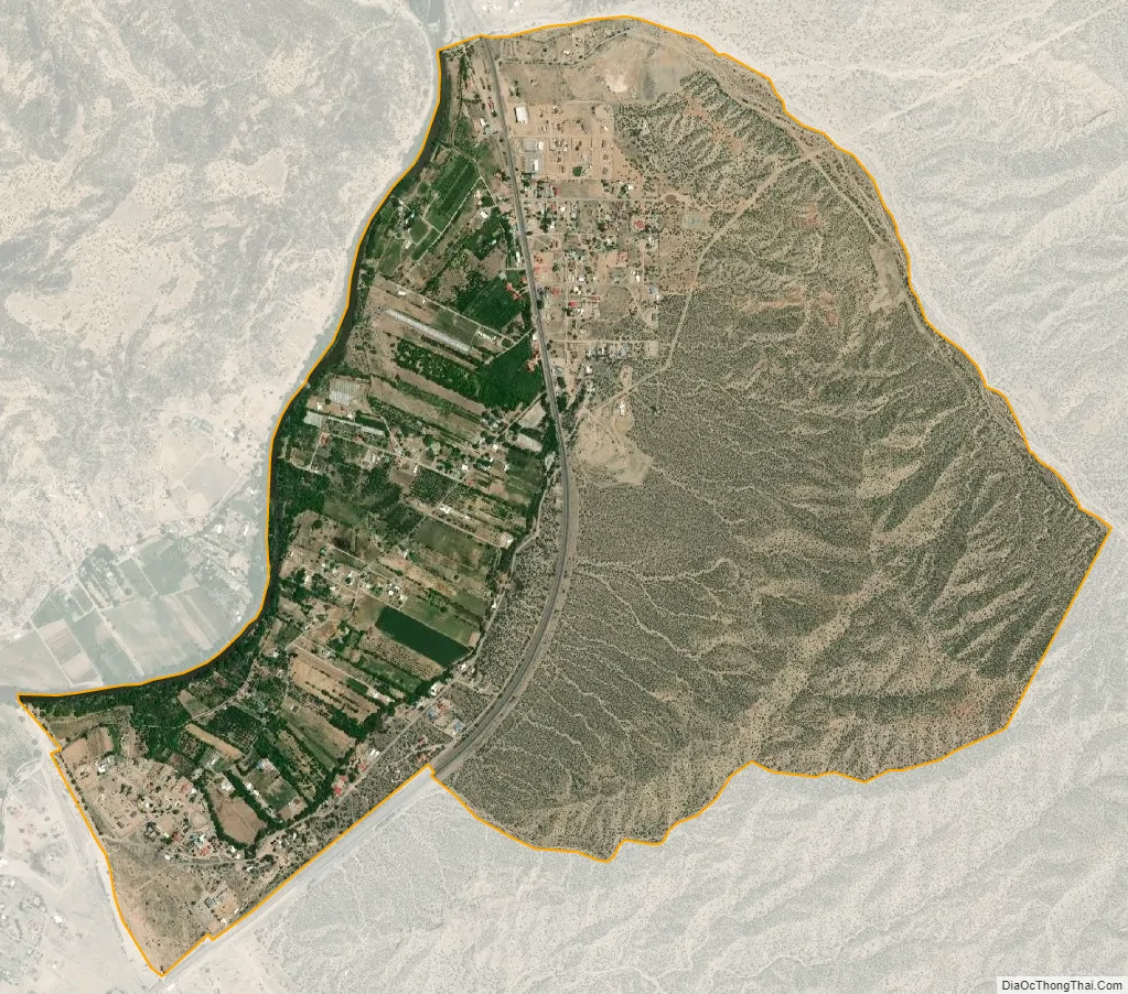
Velarde city Satellite Map
See also
Map of New Mexico State and its subdivision: Map of other states:- Alabama
- Alaska
- Arizona
- Arkansas
- California
- Colorado
- Connecticut
- Delaware
- District of Columbia
- Florida
- Georgia
- Hawaii
- Idaho
- Illinois
- Indiana
- Iowa
- Kansas
- Kentucky
- Louisiana
- Maine
- Maryland
- Massachusetts
- Michigan
- Minnesota
- Mississippi
- Missouri
- Montana
- Nebraska
- Nevada
- New Hampshire
- New Jersey
- New Mexico
- New York
- North Carolina
- North Dakota
- Ohio
- Oklahoma
- Oregon
- Pennsylvania
- Rhode Island
- South Carolina
- South Dakota
- Tennessee
- Texas
- Utah
- Vermont
- Virginia
- Washington
- West Virginia
- Wisconsin
- Wyoming