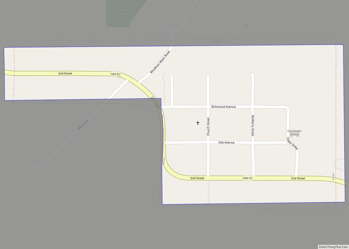
Virden is a village in Hidalgo County, New Mexico, United States. The population was 152 at the 2010 census. Growth and new construction is almost non-existent, but together with the Arizona sister-village of Duncan 7 miles (11 km) to the west, the consolidated area might experience minimal population and infrastructural growth in the next decade.
| Name: | Virden village |
|---|---|
| LSAD Code: | 47 |
| LSAD Description: | village (suffix) |
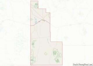
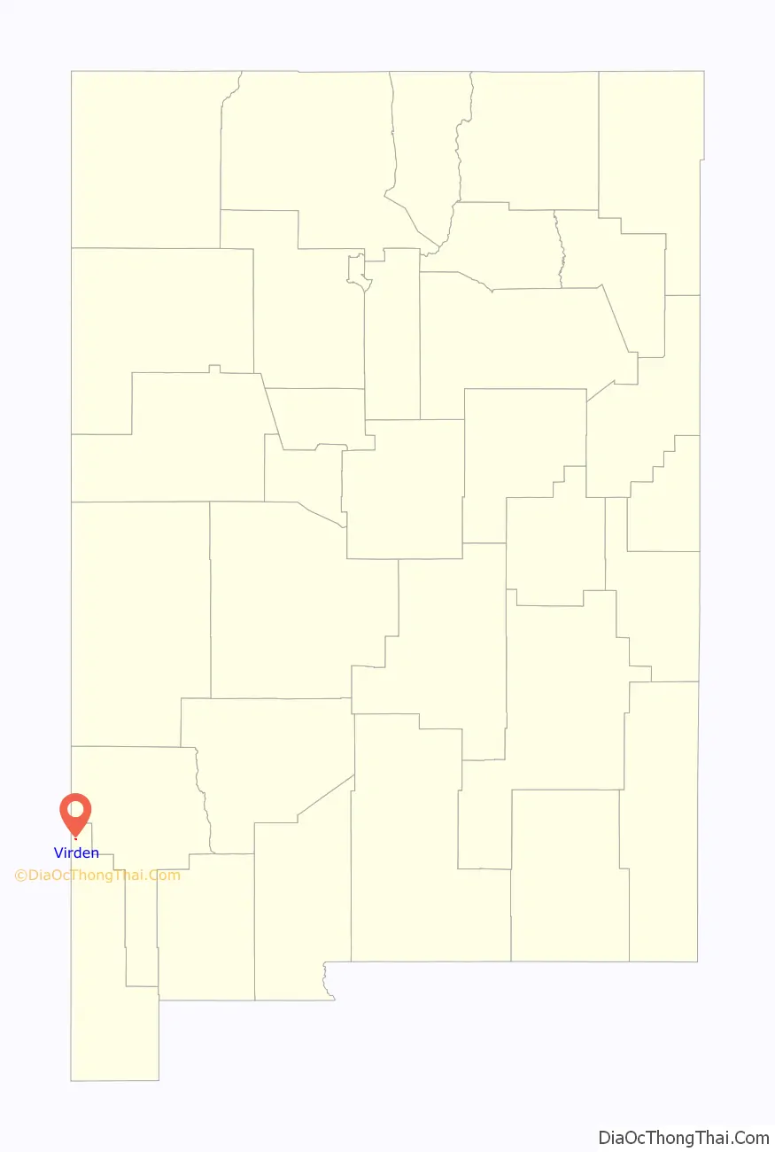
| State: | New Mexico |
| County: | Hidalgo County |
| Elevation: | 3,763 ft (1,147 m) |
| Total Area: | 0.21 sq mi (0.55 km²) |
| Land Area: | 0.21 sq mi (0.55 km²) |
| Water Area: | 0.00 sq mi (0.00 km²) |
| Total Population: | 126 |
| Population Density: | 597.16/sq mi (230.07/km²) |
| ZIP code: | 88045 |
| Area code: | 575 |
| FIPS code: | 3583200 |
| GNISfeature ID: | 0920732 |
Online Interactive Map
Click on ![]() to view map in "full screen" mode.
to view map in "full screen" mode.
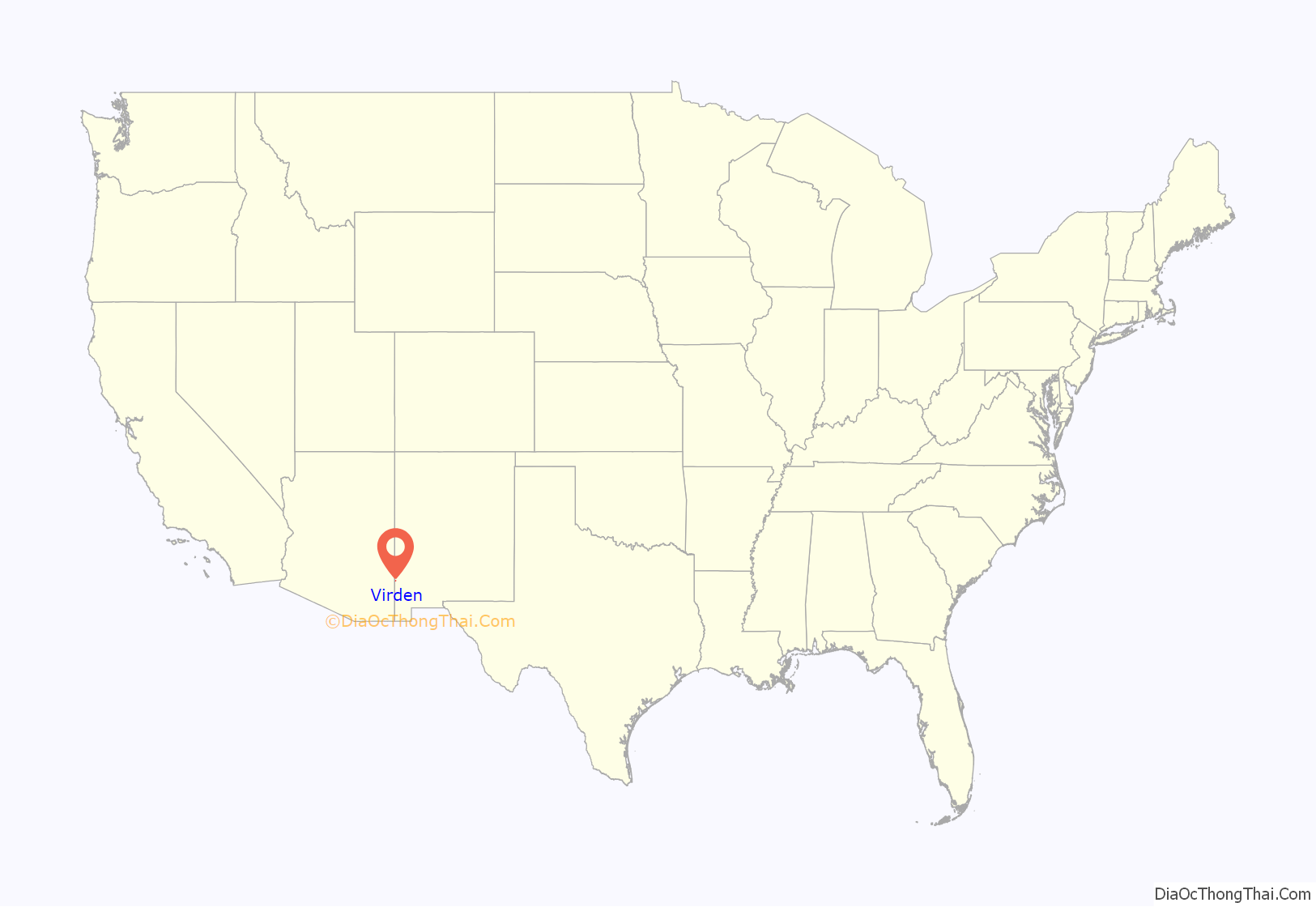
Virden location map. Where is Virden village?
History
Known as Richmond prior to 1916, the area was originally owned by the New Mexico Mining Company, and was the location of a stamp mill for the silver ore mined in nearby Ralston. After the mine was closed, the site was sold in 1916 to Mormons who had left the Mormon Colonies in Chihuahua during the Mexican Revolution. The Mormons renamed the village after the rancher who sold them the land.
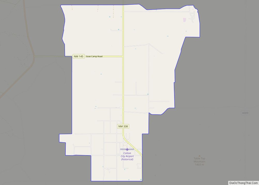
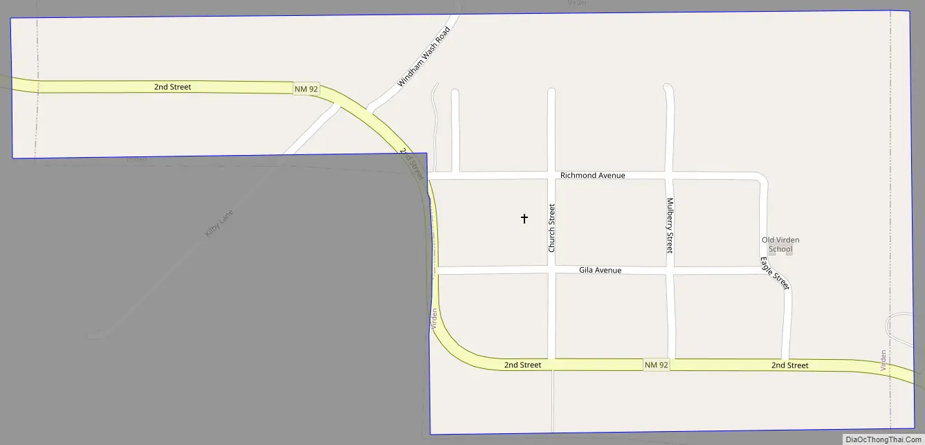
Virden Road Map
Virden city Satellite Map

Geography
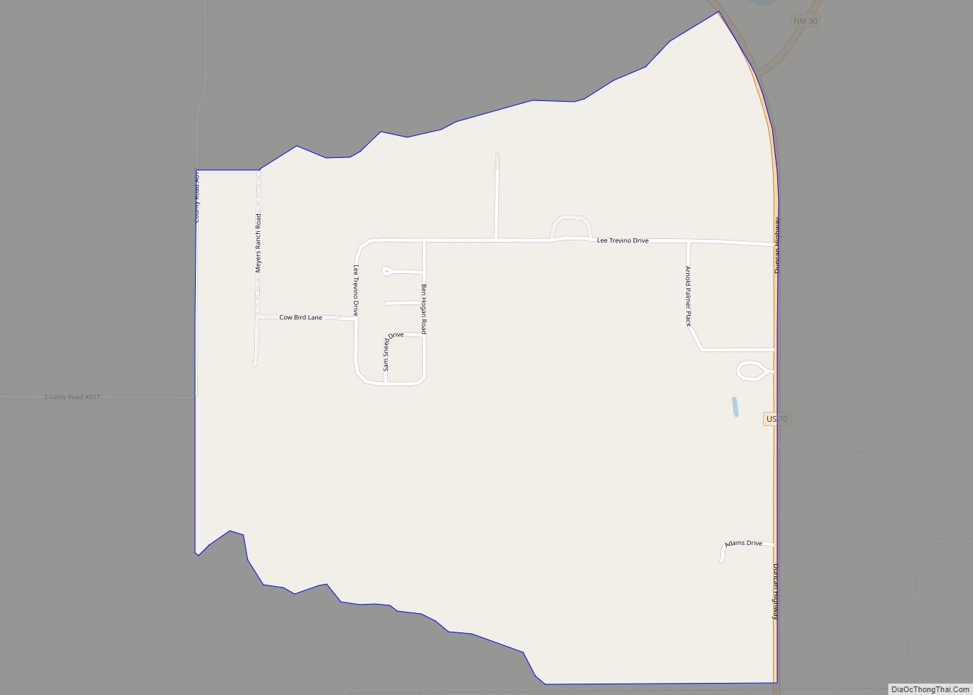
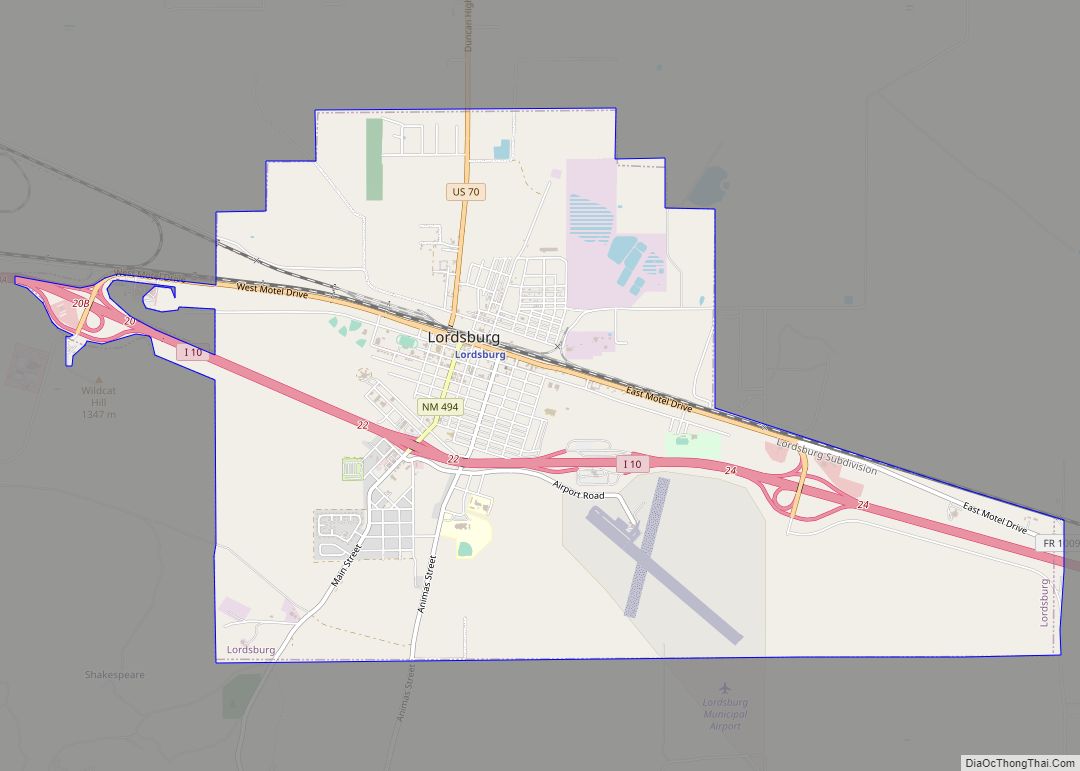
Virden is located near the northern end of Hidalgo County at 32°41′19″N 109°0′9″W / 32.68861°N 109.00250°W / 32.68861; -109.00250 (32.688626, -109.002585), on the north bank of the Gila River. New Mexico State Road 92 passes through the village, leading northwest 7 miles (11 km) to Duncan, Arizona, and south seven miles to its terminus at U.S. Route 70. Lordsburg, the Hidalgo County seat, is 32 miles (51 km) southeast of Virden via US 70.
According to the United States Census Bureau, Virden has a total area of 0.2 square miles (0.6 km), all land.
See also
Map of New Mexico State and its subdivision: Map of other states:- Alabama
- Alaska
- Arizona
- Arkansas
- California
- Colorado
- Connecticut
- Delaware
- District of Columbia
- Florida
- Georgia
- Hawaii
- Idaho
- Illinois
- Indiana
- Iowa
- Kansas
- Kentucky
- Louisiana
- Maine
- Maryland
- Massachusetts
- Michigan
- Minnesota
- Mississippi
- Missouri
- Montana
- Nebraska
- Nevada
- New Hampshire
- New Jersey
- New Mexico
- New York
- North Carolina
- North Dakota
- Ohio
- Oklahoma
- Oregon
- Pennsylvania
- Rhode Island
- South Carolina
- South Dakota
- Tennessee
- Texas
- Utah
- Vermont
- Virginia
- Washington
- West Virginia
- Wisconsin
- Wyoming