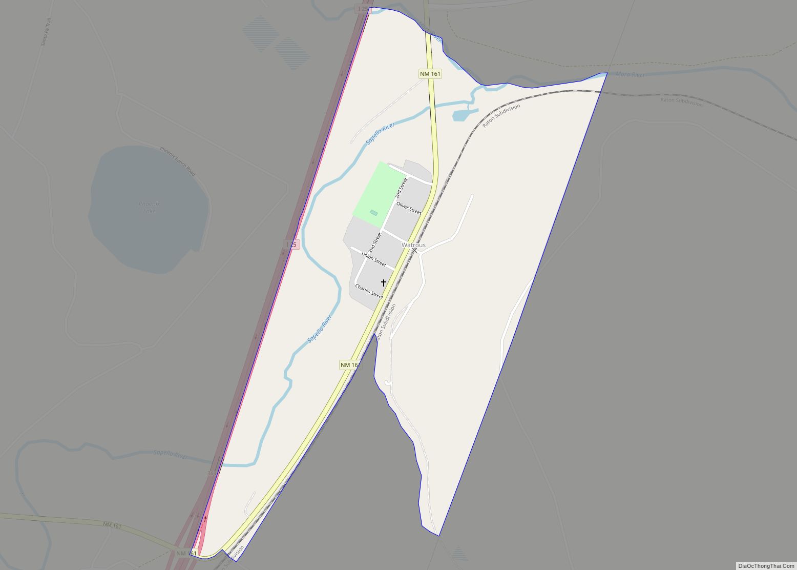
Watrous is a census-designated place in Mora County, New Mexico, United States. Its population was 135 as of the 2010 census. Watrous has a post office with ZIP code 87753, which opened on April 14, 1868. The community is located along Interstate 25. It was named after merchant and landowner Samuel Watrous, who moved to New Mexico from Vermont in 1835.
| Name: | Watrous CDP |
|---|---|
| LSAD Code: | 57 |
| LSAD Description: | CDP (suffix) |
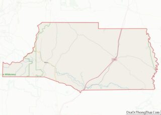
| State: | New Mexico |
| County: | Mora County |
| Elevation: | 6,421 ft (1,957 m) |
| Total Area: | 0.57 sq mi (1.48 km²) |
| Land Area: | 0.57 sq mi (1.47 km²) |
| Water Area: | 0.00 sq mi (0.01 km²) |
| Total Population: | 99 |
| Population Density: | 173.99/sq mi (67.14/km²) |
| ZIP code: | 87753 |
| Area code: | 575 |
| FIPS code: | 3583830 |
| GNISfeature ID: | 896280 |
Online Interactive Map
Click on ![]() to view map in "full screen" mode.
to view map in "full screen" mode.
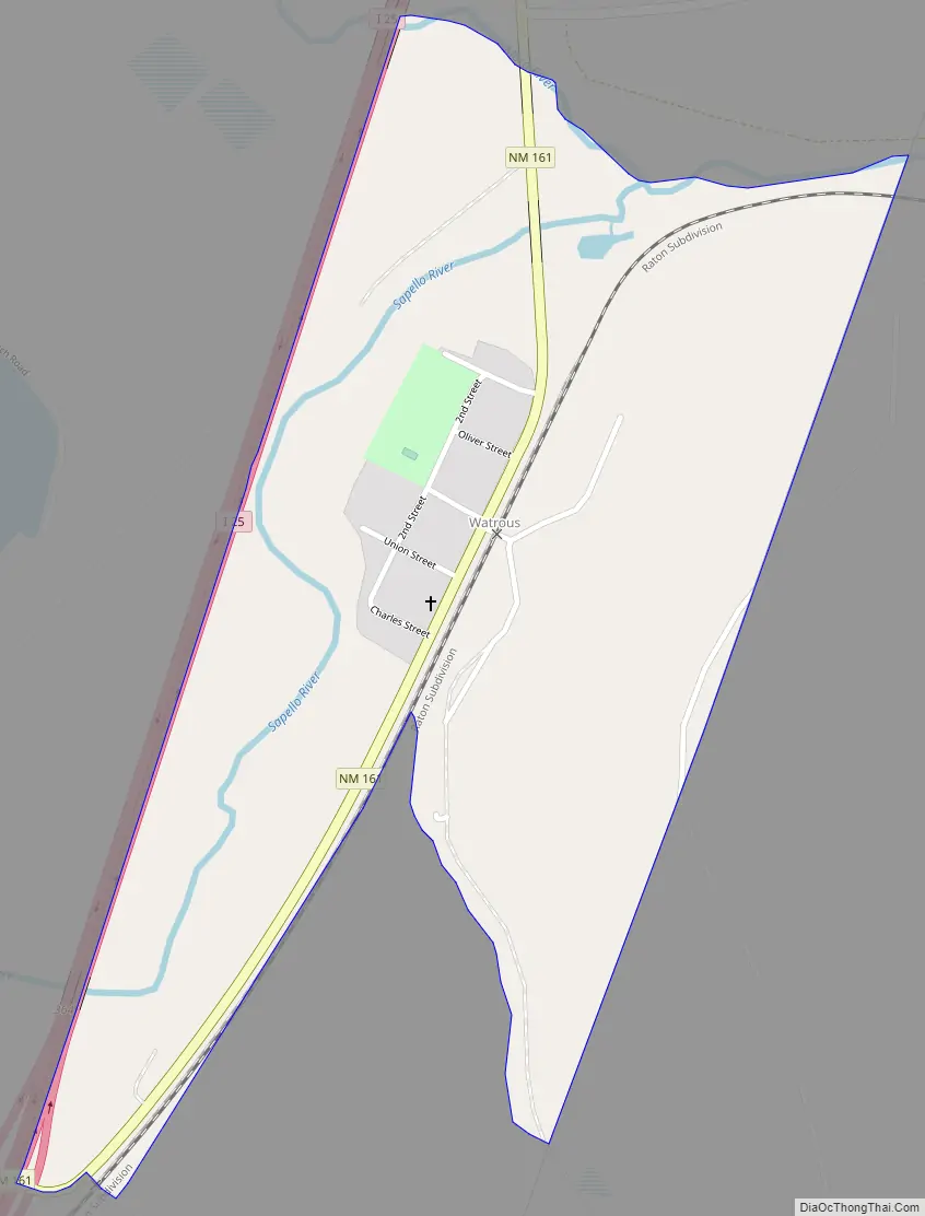
Watrous location map. Where is Watrous CDP?


Watrous Road Map
Watrous city Satellite Map

See also
Map of New Mexico State and its subdivision: Map of other states:- Alabama
- Alaska
- Arizona
- Arkansas
- California
- Colorado
- Connecticut
- Delaware
- District of Columbia
- Florida
- Georgia
- Hawaii
- Idaho
- Illinois
- Indiana
- Iowa
- Kansas
- Kentucky
- Louisiana
- Maine
- Maryland
- Massachusetts
- Michigan
- Minnesota
- Mississippi
- Missouri
- Montana
- Nebraska
- Nevada
- New Hampshire
- New Jersey
- New Mexico
- New York
- North Carolina
- North Dakota
- Ohio
- Oklahoma
- Oregon
- Pennsylvania
- Rhode Island
- South Carolina
- South Dakota
- Tennessee
- Texas
- Utah
- Vermont
- Virginia
- Washington
- West Virginia
- Wisconsin
- Wyoming