Weed is a hamlet and a census-designated place in Otero County, New Mexico, United States. It lies alongside New Mexico State Road 24 on the southeastern slopes of the Sacramento Mountains at an elevation of 7,215 ft. It has had a Post Office since 1885. As of the 2010 census, its population was 63.
| Name: | Weed CDP |
|---|---|
| LSAD Code: | 57 |
| LSAD Description: | CDP (suffix) |
| State: | New Mexico |
| County: | Otero County |
| Elevation: | 7,215 ft (2,199 m) |
| Total Area: | 8.98 sq mi (23.25 km²) |
| Land Area: | 8.97 sq mi (23.24 km²) |
| Water Area: | 0.00 sq mi (0.01 km²) |
| Total Population: | 67 |
| Population Density: | 7.47/sq mi (2.88/km²) |
| Area code: | 575 |
| FIPS code: | 3583970 |
| GNISfeature ID: | 2584235 |
| Website: | www.weednm.org |
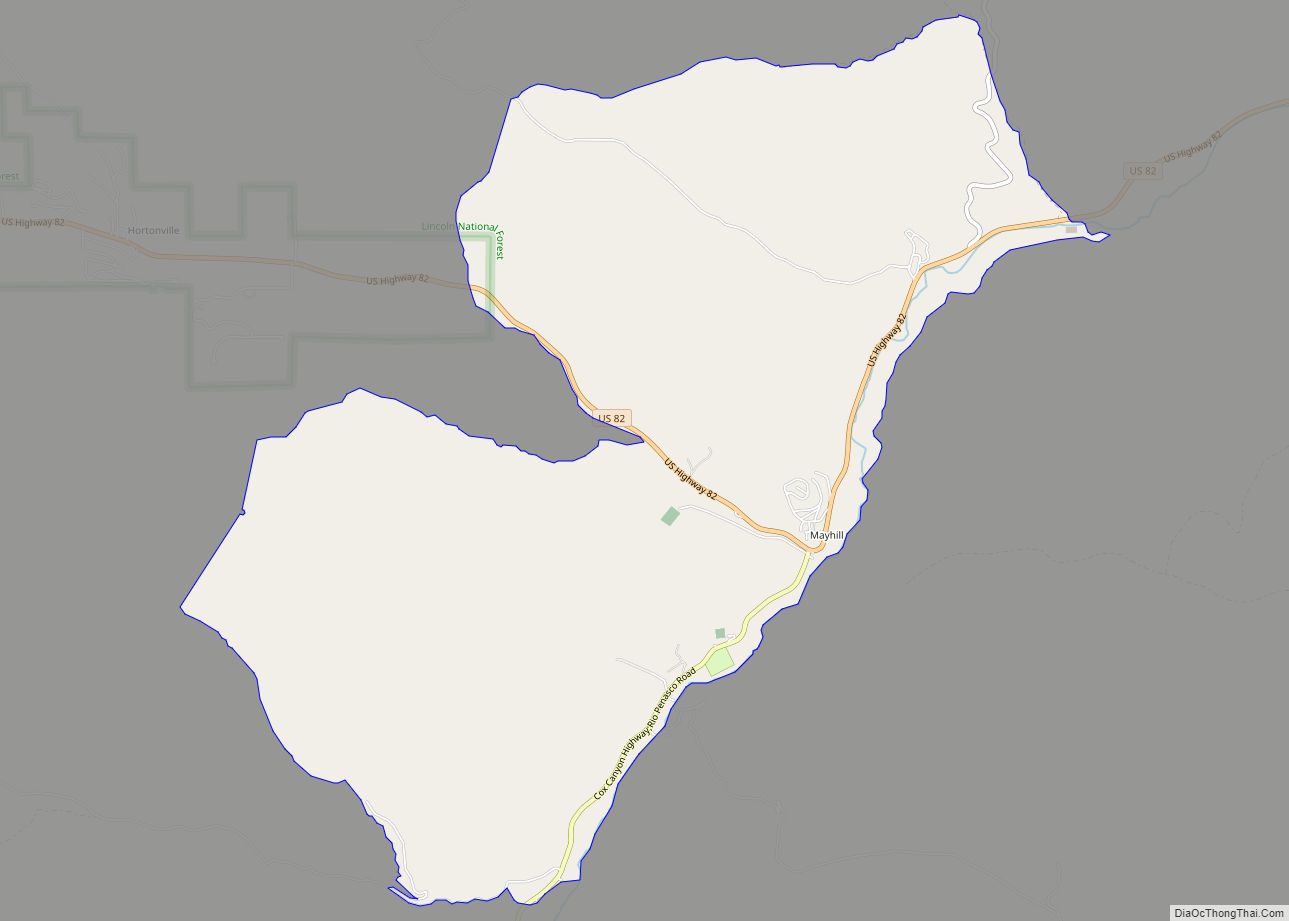
Online Interactive Map
Click on ![]() to view map in "full screen" mode.
to view map in "full screen" mode.
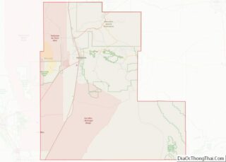
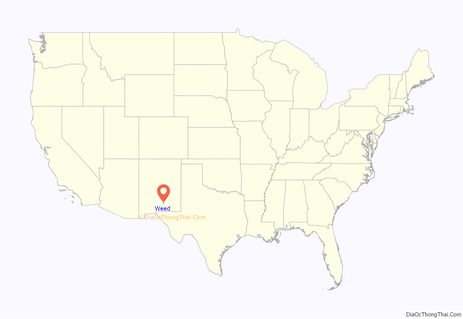
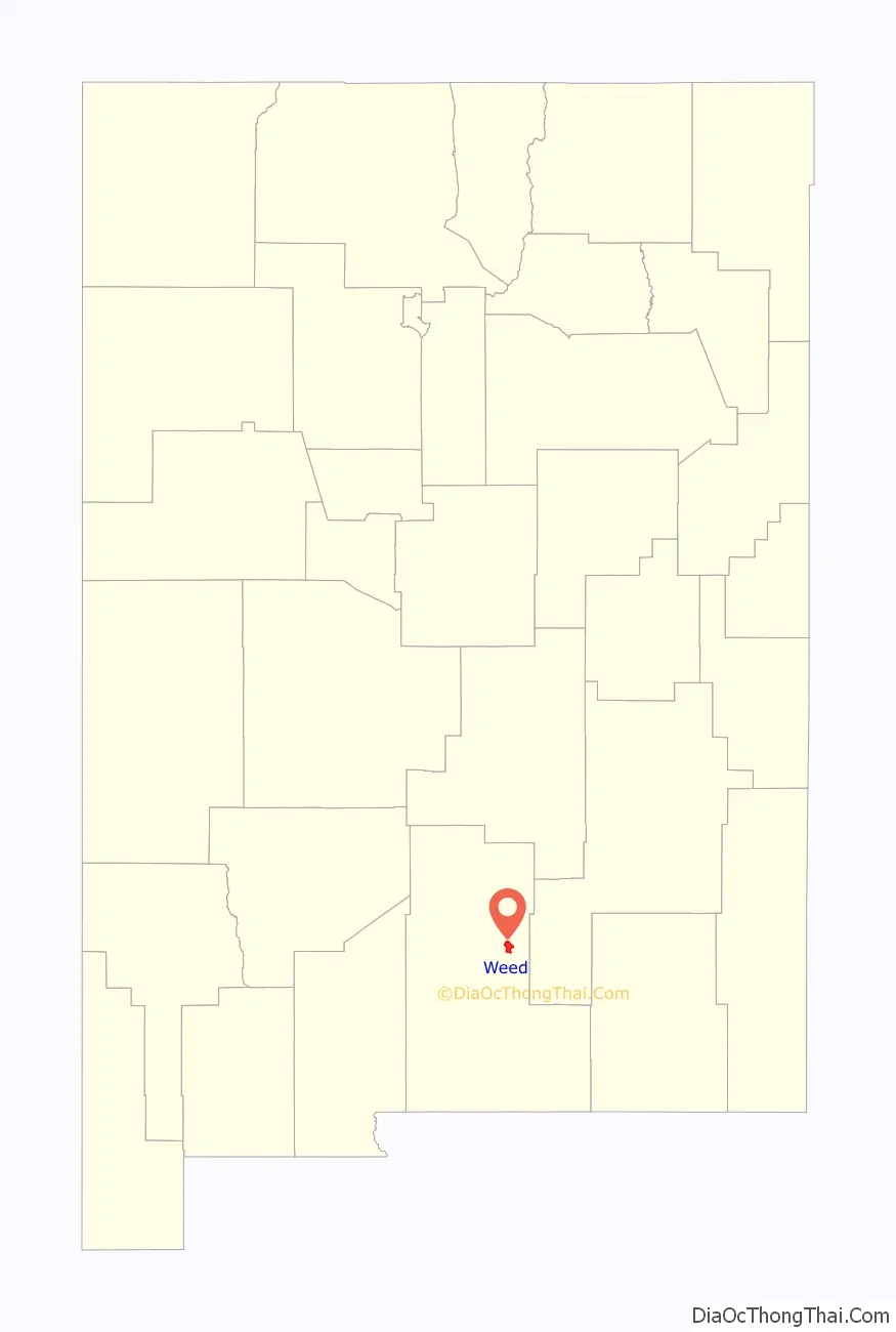
Weed location map. Where is Weed CDP?
History
Weed was founded in 1884 by George and Elizabeth Lewis. It was named after William H. Weed, who opened a branch store there.
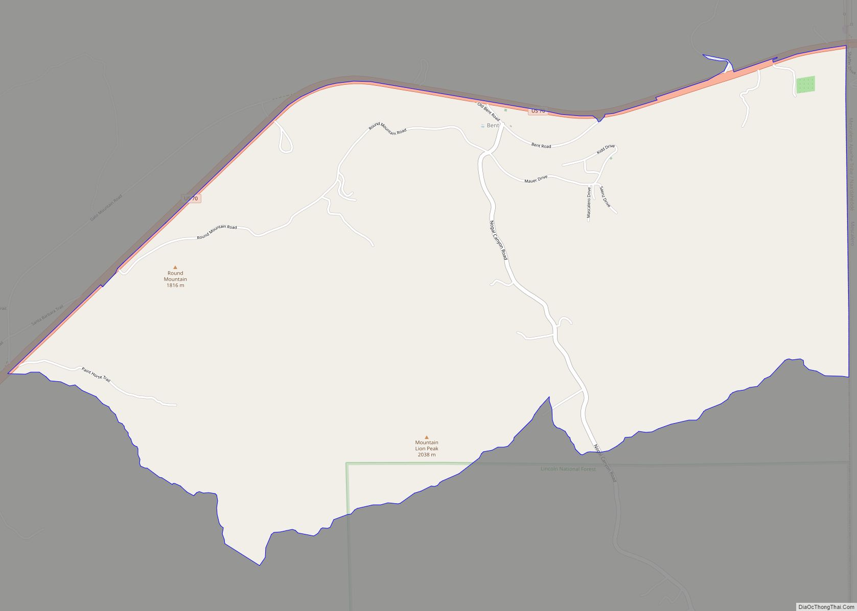
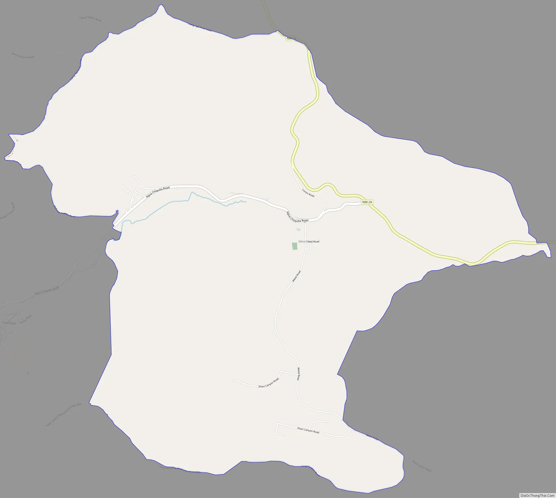
Weed Road Map
Weed city Satellite Map

See also
Map of New Mexico State and its subdivision: Map of other states:- Alabama
- Alaska
- Arizona
- Arkansas
- California
- Colorado
- Connecticut
- Delaware
- District of Columbia
- Florida
- Georgia
- Hawaii
- Idaho
- Illinois
- Indiana
- Iowa
- Kansas
- Kentucky
- Louisiana
- Maine
- Maryland
- Massachusetts
- Michigan
- Minnesota
- Mississippi
- Missouri
- Montana
- Nebraska
- Nevada
- New Hampshire
- New Jersey
- New Mexico
- New York
- North Carolina
- North Dakota
- Ohio
- Oklahoma
- Oregon
- Pennsylvania
- Rhode Island
- South Carolina
- South Dakota
- Tennessee
- Texas
- Utah
- Vermont
- Virginia
- Washington
- West Virginia
- Wisconsin
- Wyoming