Yah-ta-hey (Navajo: Tʼáá Bííchʼį́įdii) is a census-designated place (CDP) in McKinley County, New Mexico, United States. As of the 2000 census, the CDP population was 580. The English name for this place is an approximation of a Navajo greeting, though the actual Navajo name means “like a devil”, in reference to J.B. Tanner, who operated the trading post located here; the same name is used for Aneth, Utah, where Tanner also worked.
| Name: | Yah-ta-hey CDP |
|---|---|
| LSAD Code: | 57 |
| LSAD Description: | CDP (suffix) |
| State: | New Mexico |
| County: | McKinley County |
| Elevation: | 6,568 ft (2,002 m) |
| Total Area: | 3.44 sq mi (8.90 km²) |
| Land Area: | 3.44 sq mi (8.90 km²) |
| Water Area: | 0.00 sq mi (0.00 km²) |
| Total Population: | 757 |
| Population Density: | 220.38/sq mi (85.09/km²) |
| ZIP code: | 87375 |
| Area code: | 505 |
| FIPS code: | 3585860 |
| GNISfeature ID: | 0898615 |
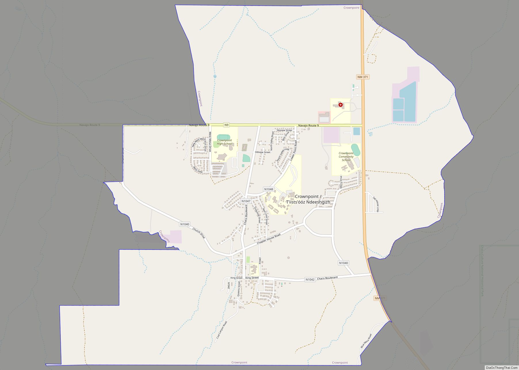
Online Interactive Map
Click on ![]() to view map in "full screen" mode.
to view map in "full screen" mode.
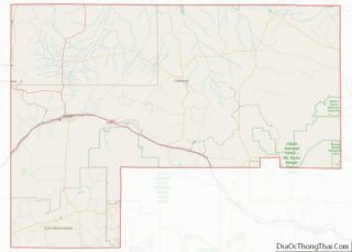
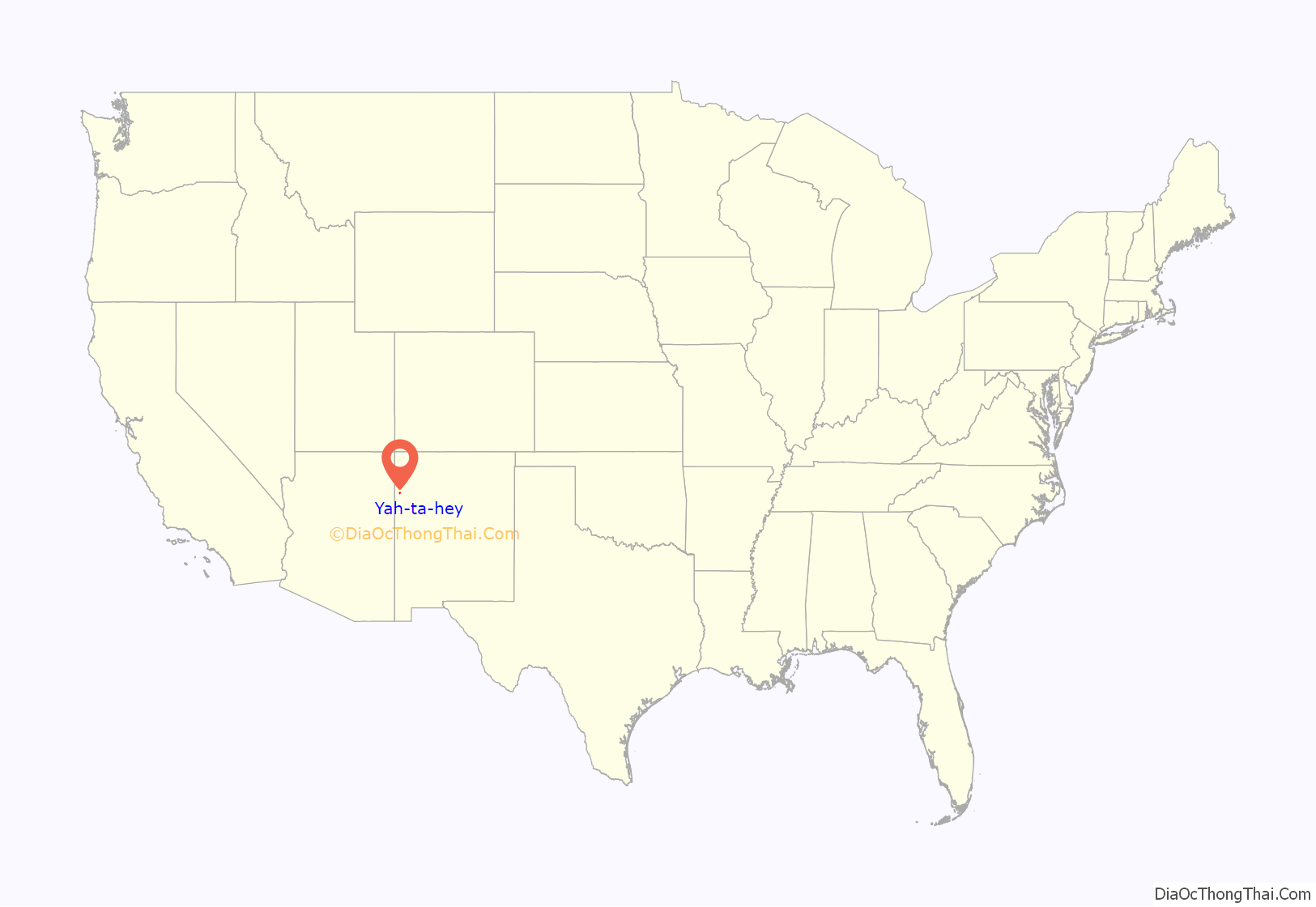
Yah-ta-hey location map. Where is Yah-ta-hey CDP?
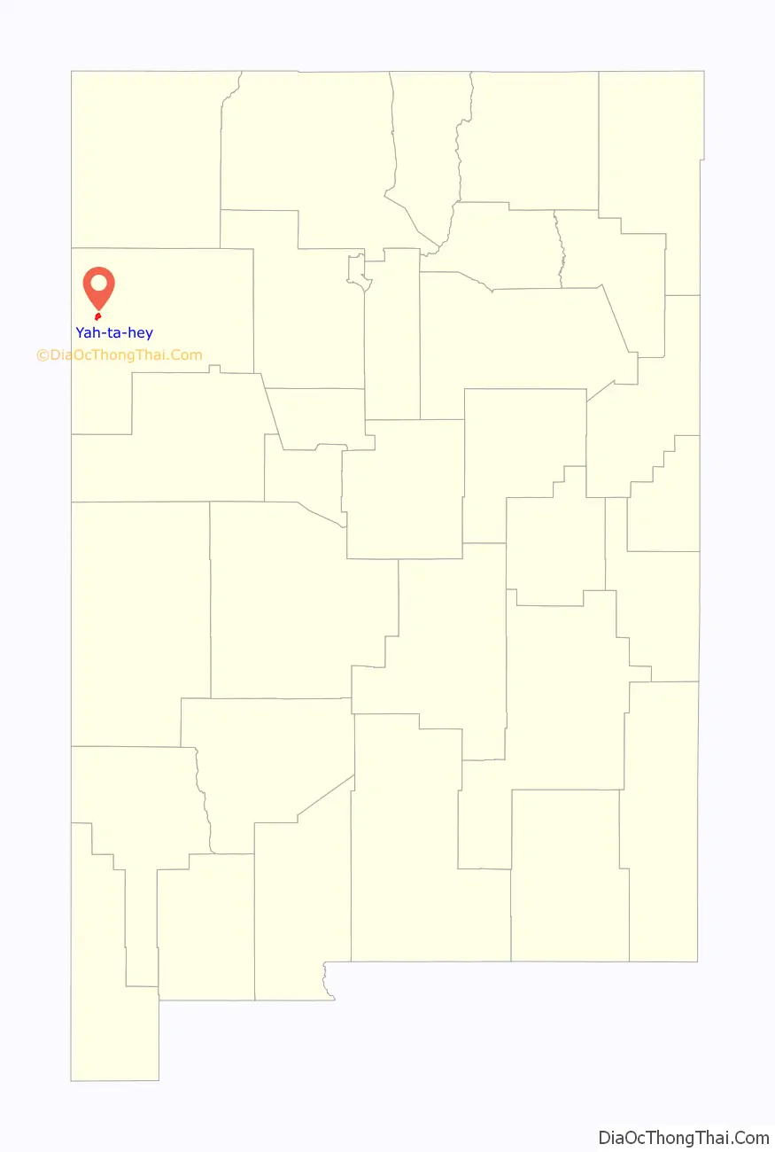
Yah-ta-hey Road Map
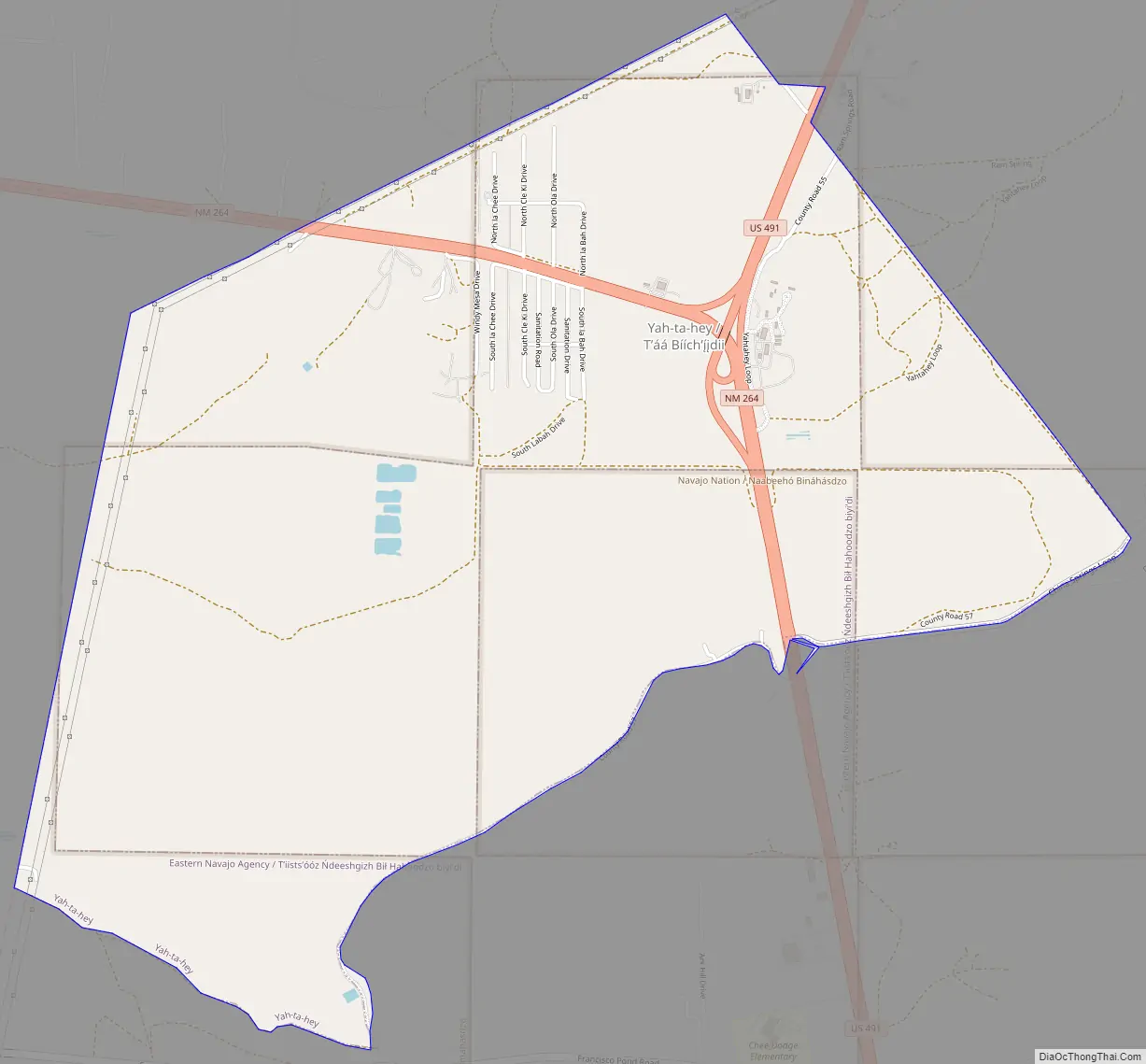
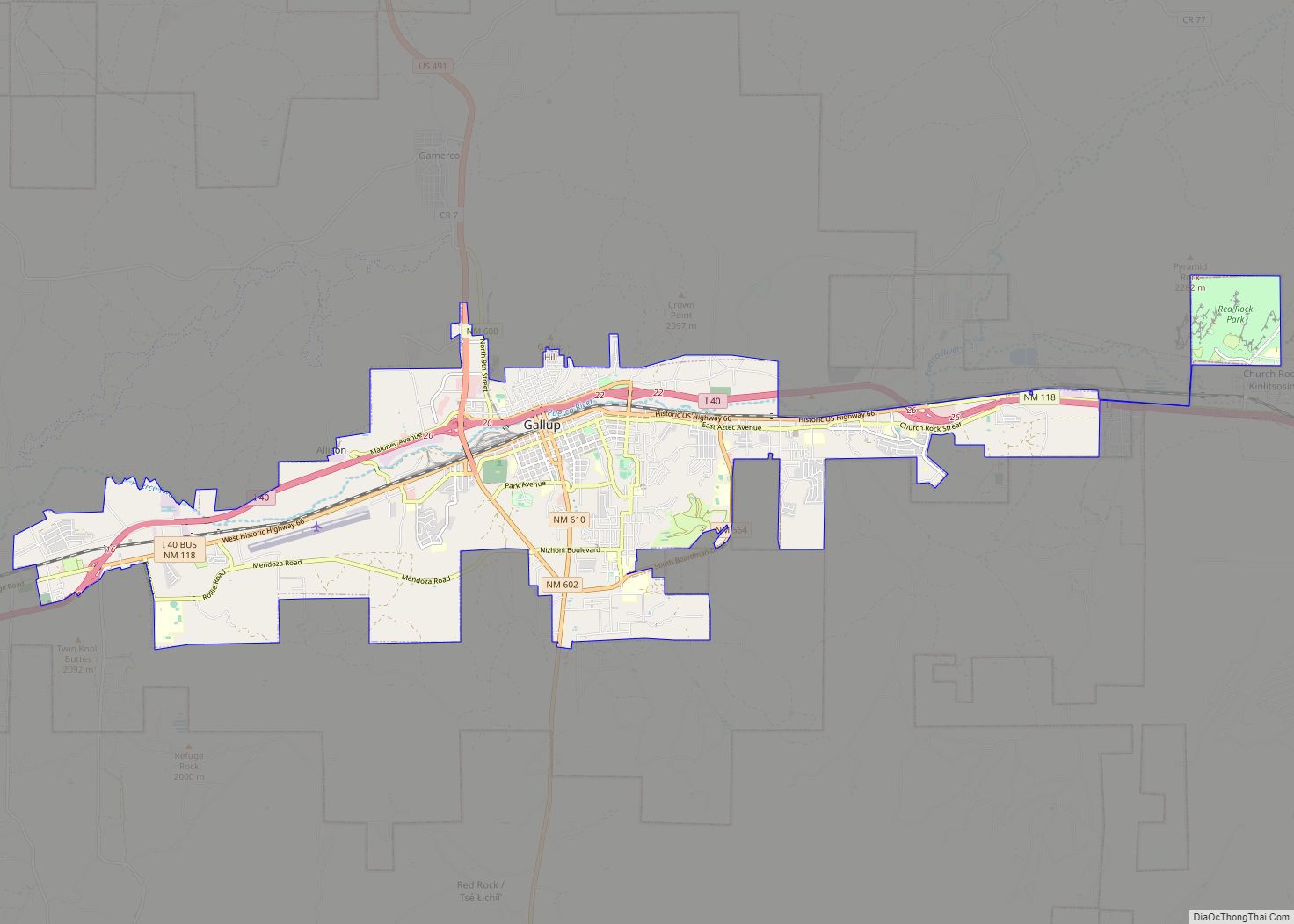
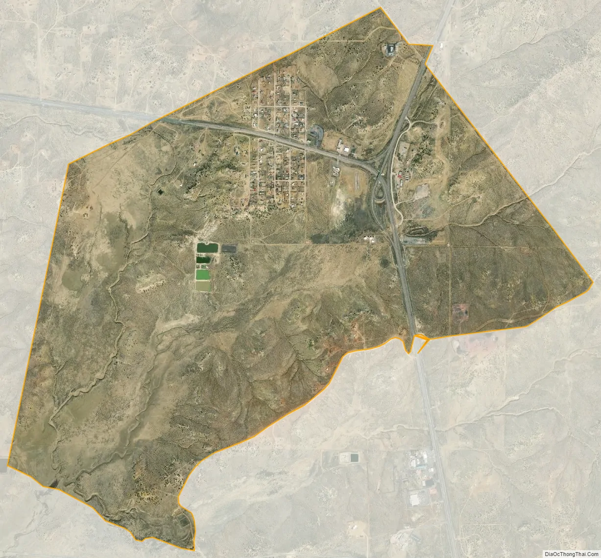
Yah-ta-hey city Satellite Map
Geography
Yah-ta-hey is located at 35°37′37″N 108°47′26″W / 35.62694°N 108.79056°W / 35.62694; -108.79056 (35.627018, -108.790430).
According to the United States Census Bureau, the CDP has a total area of 4.0 square miles (10 km), all land.
See also
Map of New Mexico State and its subdivision: Map of other states:- Alabama
- Alaska
- Arizona
- Arkansas
- California
- Colorado
- Connecticut
- Delaware
- District of Columbia
- Florida
- Georgia
- Hawaii
- Idaho
- Illinois
- Indiana
- Iowa
- Kansas
- Kentucky
- Louisiana
- Maine
- Maryland
- Massachusetts
- Michigan
- Minnesota
- Mississippi
- Missouri
- Montana
- Nebraska
- Nevada
- New Hampshire
- New Jersey
- New Mexico
- New York
- North Carolina
- North Dakota
- Ohio
- Oklahoma
- Oregon
- Pennsylvania
- Rhode Island
- South Carolina
- South Dakota
- Tennessee
- Texas
- Utah
- Vermont
- Virginia
- Washington
- West Virginia
- Wisconsin
- Wyoming