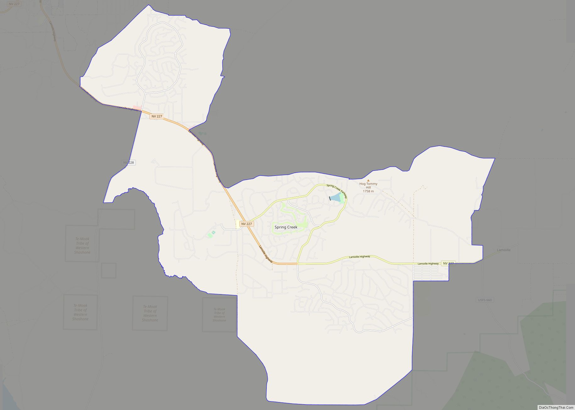
Coordinates: 40°50′N 115°46′W / 40.833°N 115.767°W / 40.833; -115.767 Elko (Shoshoni: Natakkoa, “Rocks Piled on One Another”) is the largest city in and county seat of Elko County, Nevada, United States. With a 2020 population of 20,564, Elko is currently growing at a rate of 0.31% annually and its population has increased by 11.86% since the 2010 Census, which recorded a population of 18,297. Elko serves as the economic hub of the Ruby Valley, a region with a population of over 55,000. Elko is 21 miles (34 km) from Lamoille Canyon and the Ruby Mountains, dubbed the Swiss Alps of Nevada, providing year round access to recreation including hiking, skiing, hunting, and more than 20 alpine lakes. The city straddles the Humboldt River. Most of the residents in Elko live within the Tree Streets, houses lined with trees and greenery. Spring Creek, Nevada, serves as a bedroom community 6 miles (9.7 km) from the city with a population of 13,805.
Elko is the principal city of the Elko Micropolitan Statistical Area, a micropolitan area that covers Elko and Eureka counties. It is the largest city for over 130 miles (210 km) in all directions, making it, as its city motto states, “The Heart of Northeast Nevada”.
It is home to Great Basin College, as well as to the National Weather Service Weather Forecast Office serving most of northern and central Nevada.
| Name: | Elko city |
|---|---|
| LSAD Code: | 25 |
| LSAD Description: | city (suffix) |
| State: | Nevada |
| County: | Elko County |
| Elevation: | 5,066 ft (1,544 m) |
| Total Area: | 17.85 sq mi (46.22 km²) |
| Land Area: | 17.85 sq mi (46.22 km²) |
| Water Area: | 0.00 sq mi (0.00 km²) |
| Total Population: | 20,564 |
| Population Density: | 1,152.30/sq mi (444.92/km²) |
| Area code: | 775 |
| FIPS code: | 3222500 |
| GNISfeature ID: | 0845452 |
| Website: | www.ci.elko.nv.us |
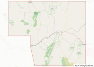
Online Interactive Map
Click on ![]() to view map in "full screen" mode.
to view map in "full screen" mode.
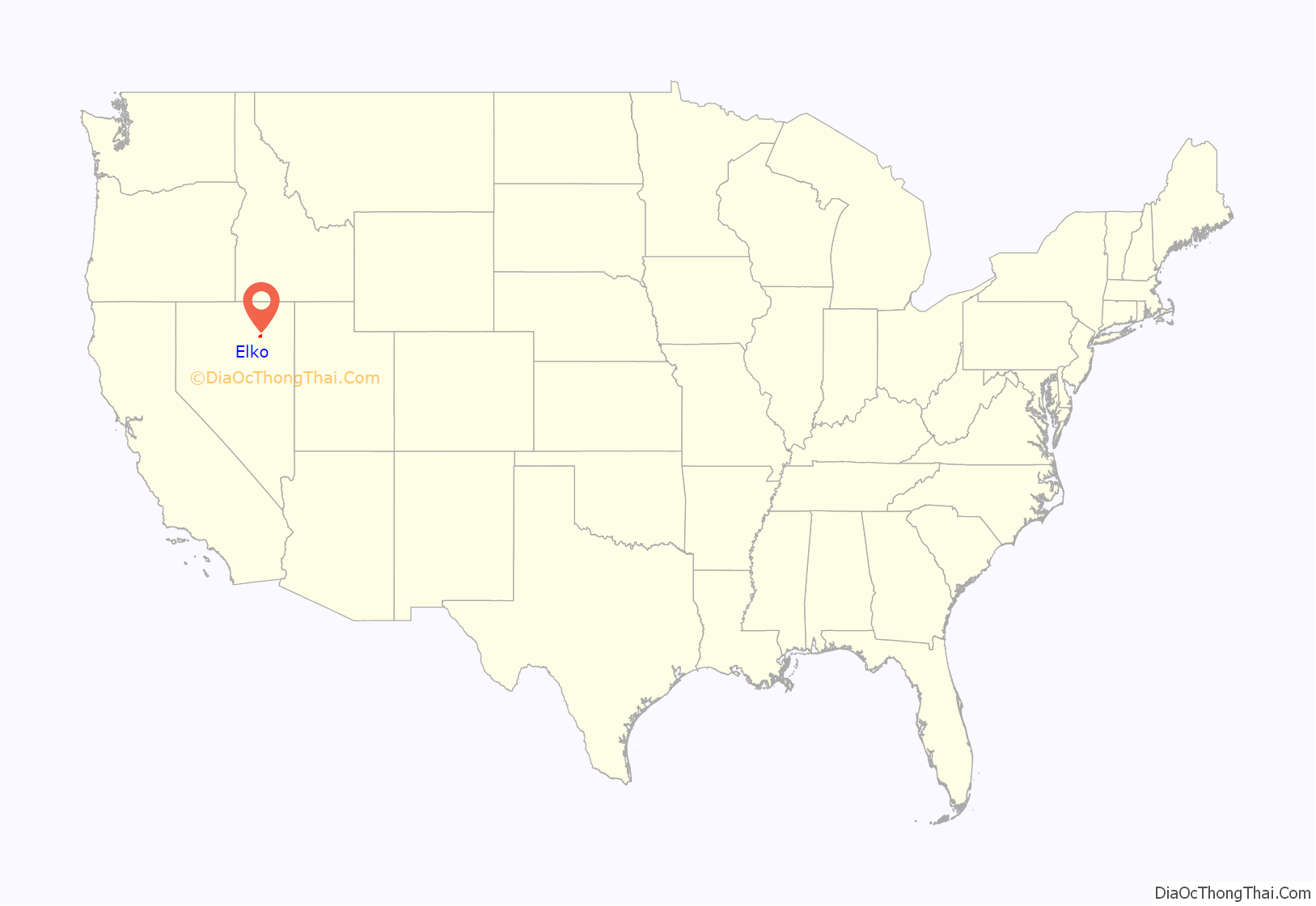
Elko location map. Where is Elko city?
History
Though Elko lies along the route of the historic California Trail, its roots as a settled town date only back to its establishment in 1868 by white settlers, when it was at the east end of the railroad tracks built by the Central Pacific Railroad (the portion of the First transcontinental railroad built from California to Utah). When the railroad crews moved on, Elko remained, serving as a center for ranching, mining, rail freight and general supplies.
Elko is said to have been named by Charles Crocker, a superintendent of the Central Pacific Railroad. He was especially fond of animal names and added the letter “o” to Elk. There is no definitive evidence of this naming history, but it has become the widely accepted version.
The first Elko County Courthouse was built in 1869. Elko was officially incorporated as a city in 1917.
In 1925, the Kelly Act (also known as the Air Mail Act of 1925) authorized the United States Postal Service to contract with private airlines for the feeder routes that fed the main transcontinental route. The first commercial airmail flight in the United States was on the 487-mile (784 km) Airmail Route #5 from Pasco, Washington, to what would become Elko Regional Airport on April 6, 1926. The flight was piloted by Leon D. Cuddeback and included a brief stop in Boise, Idaho, to pick up more mail.
The 1910 replacement for the original courthouse is listed on the National Register of Historic Places. The U.S. Post Office-Elko Main, which was built in 1933, is also listed.
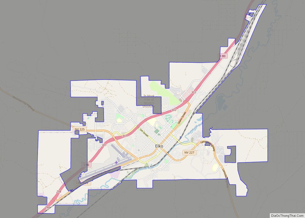
Elko Road Map
Elko city Satellite Map
Geography
According to the United States Census Bureau, the city has a total area of 17.6 square miles (45.7 km), all land, though the path of the Humboldt River fills from time to time.
See also
Map of Nevada State and its subdivision: Map of other states:- Alabama
- Alaska
- Arizona
- Arkansas
- California
- Colorado
- Connecticut
- Delaware
- District of Columbia
- Florida
- Georgia
- Hawaii
- Idaho
- Illinois
- Indiana
- Iowa
- Kansas
- Kentucky
- Louisiana
- Maine
- Maryland
- Massachusetts
- Michigan
- Minnesota
- Mississippi
- Missouri
- Montana
- Nebraska
- Nevada
- New Hampshire
- New Jersey
- New Mexico
- New York
- North Carolina
- North Dakota
- Ohio
- Oklahoma
- Oregon
- Pennsylvania
- Rhode Island
- South Carolina
- South Dakota
- Tennessee
- Texas
- Utah
- Vermont
- Virginia
- Washington
- West Virginia
- Wisconsin
- Wyoming
