Stateline is a census-designated place (CDP) on the southeastern shore of Lake Tahoe in Douglas County, Nevada, United States. It lies next to the California state line and City of South Lake Tahoe. The population was 842 at the 2010 census. The population swells considerably during the busy winter and summer seasons, due to the high number of hotel rooms and rental accommodations available.
| Name: | Stateline CDP |
|---|---|
| LSAD Code: | 57 |
| LSAD Description: | CDP (suffix) |
| State: | Nevada |
| County: | Douglas County |
| Elevation: | 6,283 ft (1,915 m) |
| Total Area: | 0.82 sq mi (2.13 km²) |
| Land Area: | 0.72 sq mi (1.86 km²) |
| Water Area: | 0.10 sq mi (0.27 km²) |
| Total Population: | 595 |
| Population Density: | 827.54/sq mi (319.67/km²) |
| ZIP code: | 89449 |
| Area code: | 775 |
| FIPS code: | 3269200 |
| GNISfeature ID: | 0858448 |
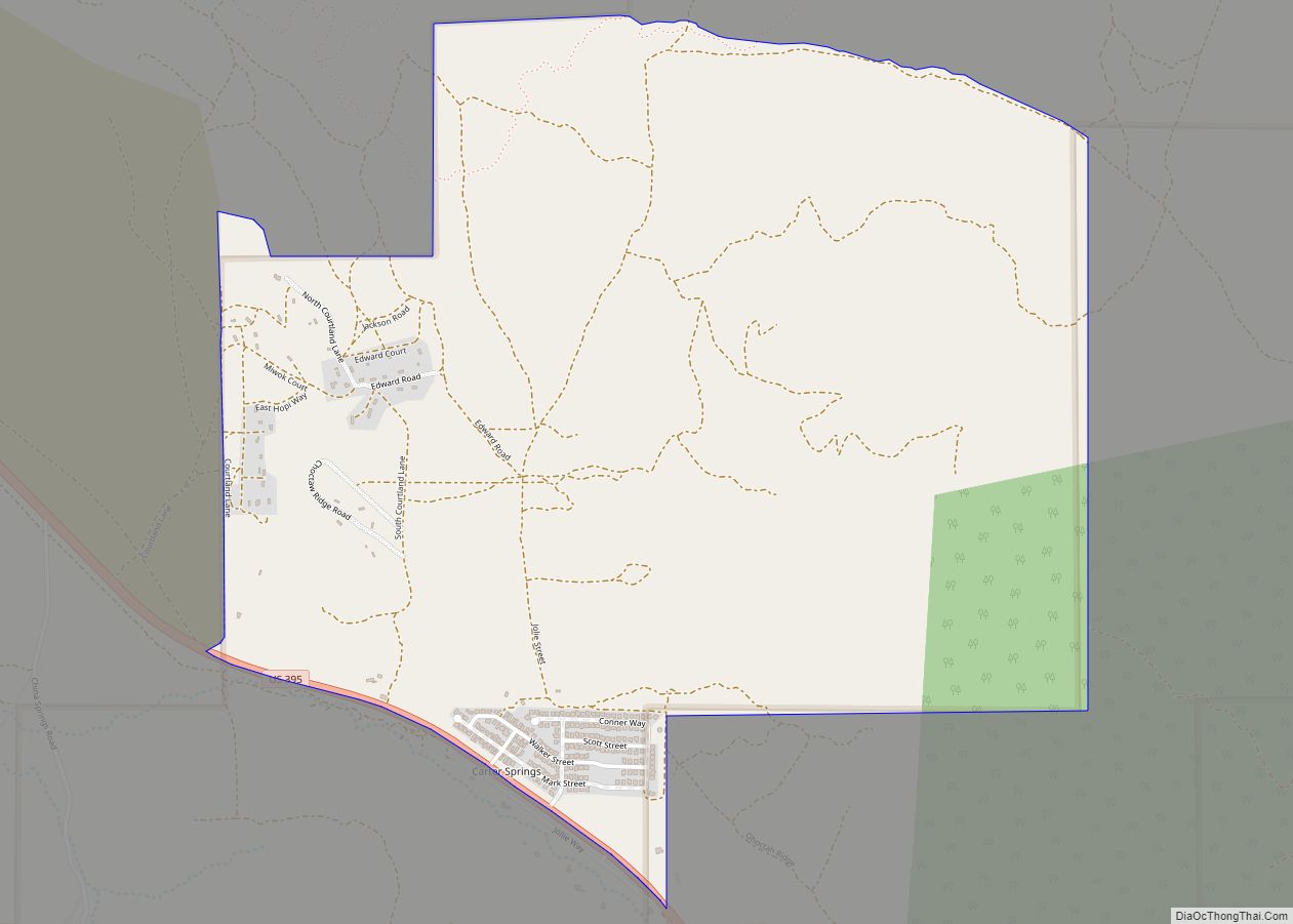
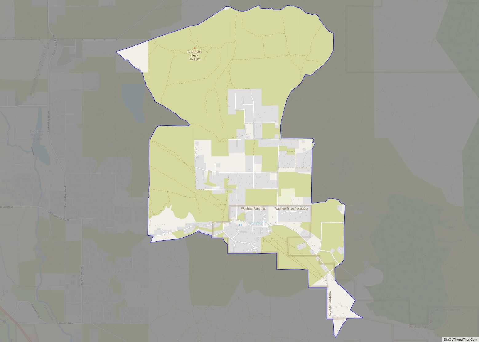
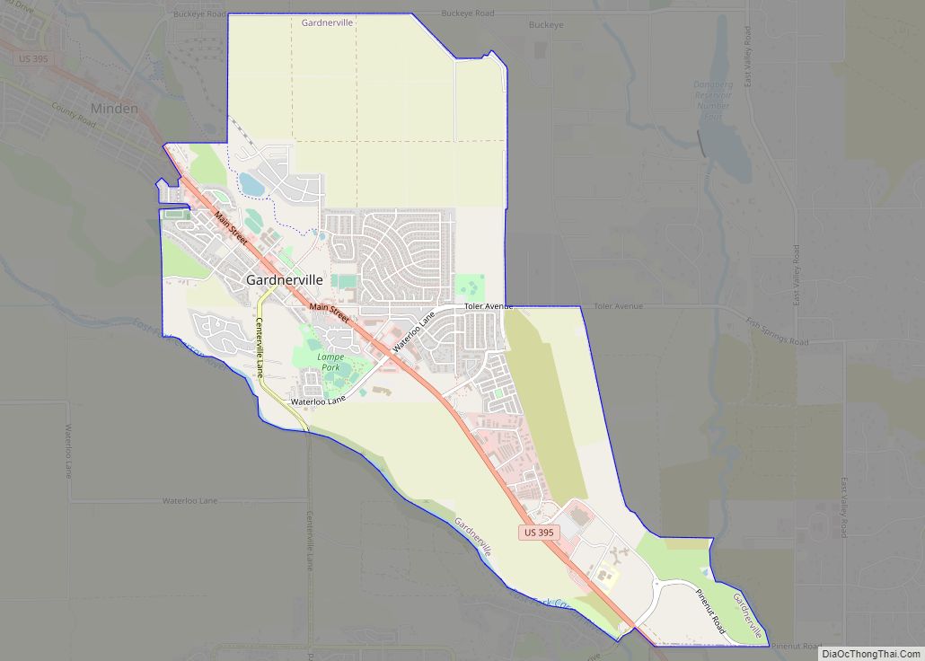
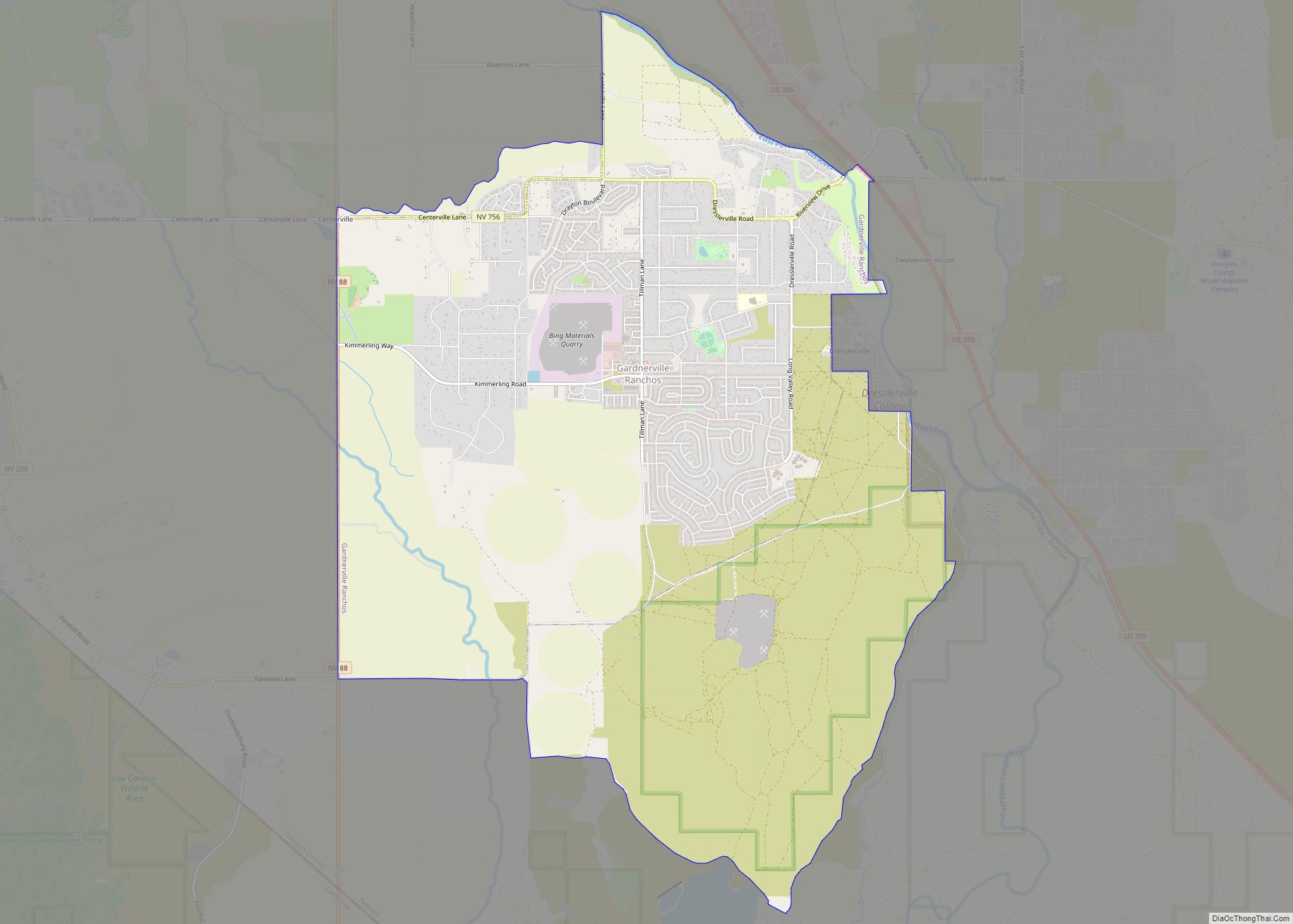
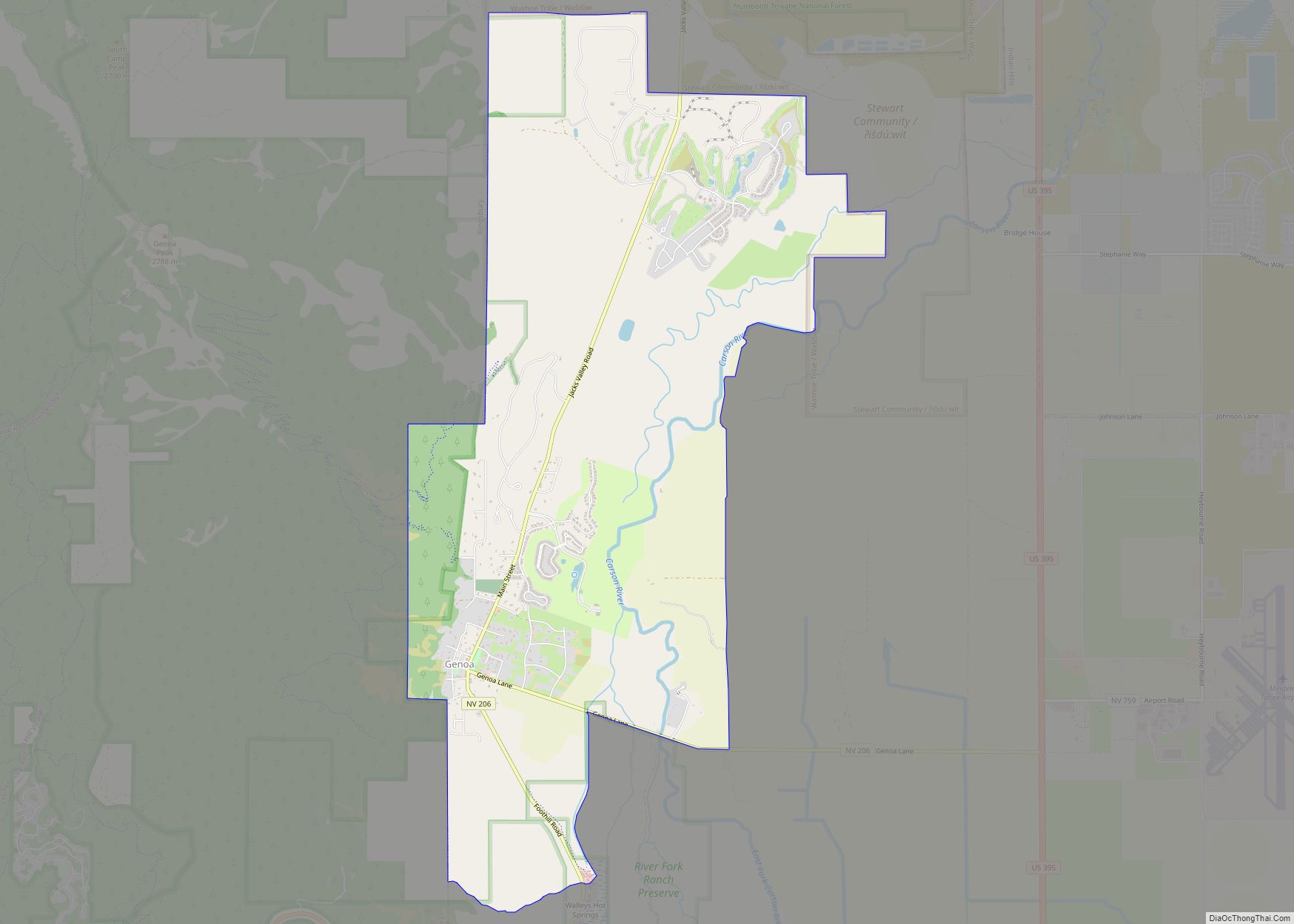
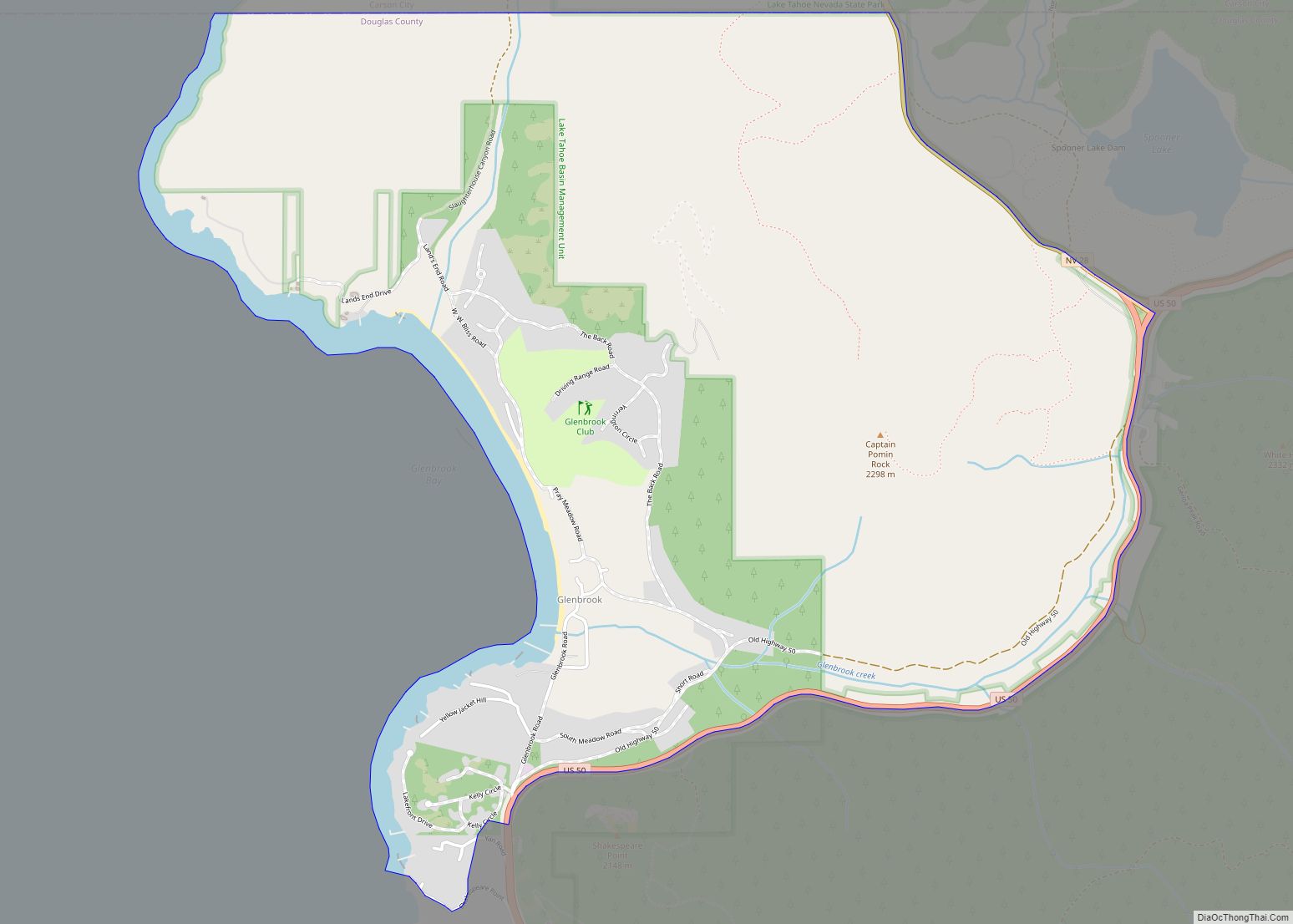
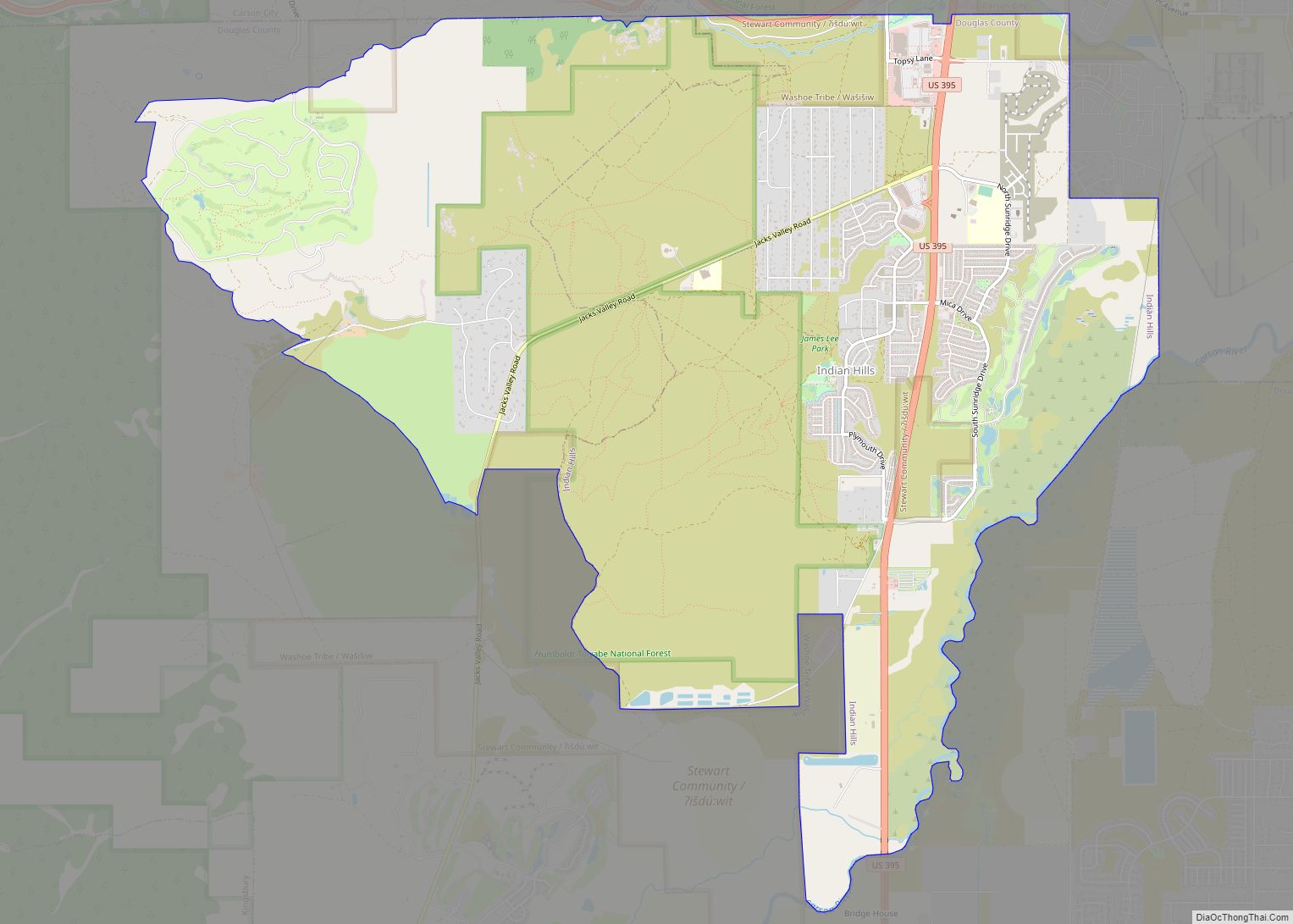
Online Interactive Map
Click on ![]() to view map in "full screen" mode.
to view map in "full screen" mode.
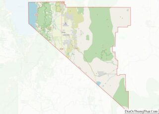
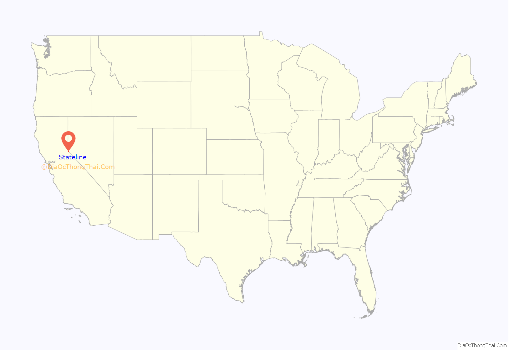
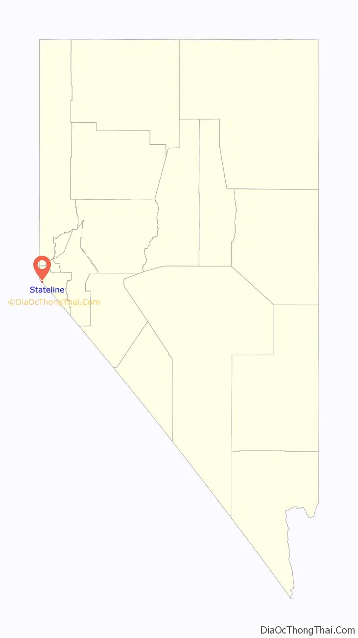
Stateline location map. Where is Stateline CDP?
History
Most of the town and surrounding land has been maintained by the heirs of the historic Friday’s Station of the Pony Express; it is leased to the casinos. The duplex naming of the community originated in part because of an interstate border dispute, resulting from differences in several boundary surveys. The erroneous 1872 Von Schmidt survey of the California-Nevada boundary found the stateline crossing U.S. 50 on the west edge of present-day Applebee’s, and the east edge of the Ashley Marcus Gallery in Tahoe Crescent V Shopping Center in California. The community of Stateline, California, contended to be in Nevada, emerged just east to benefit from Nevada law—including tax-free status and later gambling which was legalized in 1931. However, an 1893 United States Coast and Geodetic Survey (C.G.S.) placed the border several thousand feet east of 1872 Von Schmidt line, creating a discrepancy which left the community in legal jeopardy. The Stateline Country Club operated in the 1930s. By the mid-1950s to mid-1960s, gambling development moved east across the 1893 C.G.S. line to a new adjacent community of Edgewood, NV. After a 1980 US Supreme Court ruling, the east-migrated gambling community of Egewood formally regained its name Stateline, this time in NV.; the California portion which had been contested by Nevada was dissolved into the city of South Lake Tahoe. The currently accepted interstate border is marked by the 1893 US CGS Federal Survey Monuments No. 1, No. 2, and No.3.
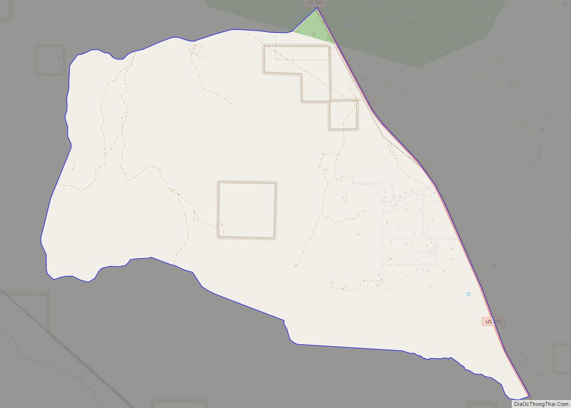
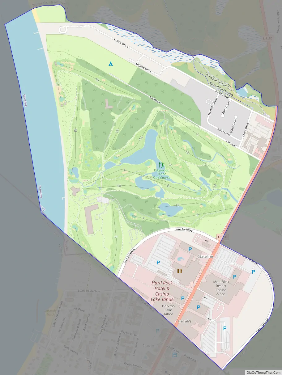
Stateline Road Map
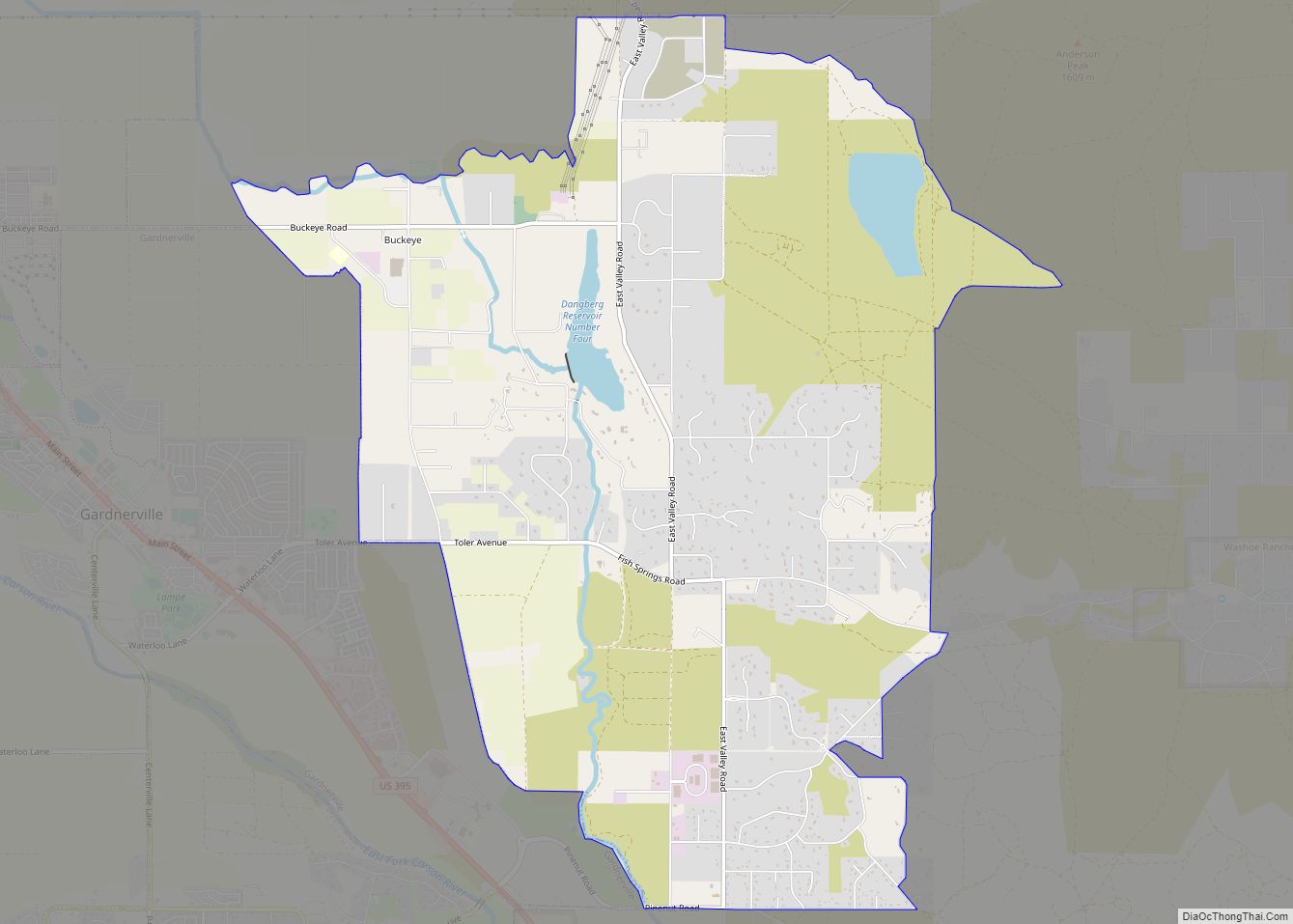
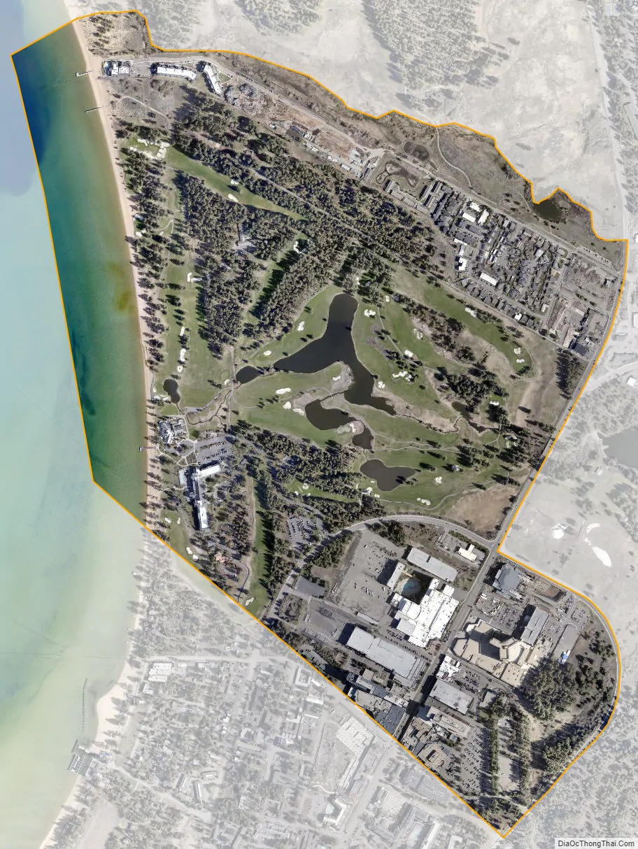
Stateline city Satellite Map
Geography
Stateline is located at 38°58′14″N 119°56′45″W / 38.97056°N 119.94583°W / 38.97056; -119.94583 (38.970512, −119.945714). It lies on the southern shore of Lake Tahoe to the east of the California–Nevada state line from which it takes its name, and the city of South Lake Tahoe, California.
According to the United States Census Bureau, the CDP has a total area of 0.8 square miles (2.1 km), of which 0.7 square miles (1.8 km) is land and 0.1 square miles (0.26 km) (12.82%) is water.
See also
Map of Nevada State and its subdivision: Map of other states:- Alabama
- Alaska
- Arizona
- Arkansas
- California
- Colorado
- Connecticut
- Delaware
- District of Columbia
- Florida
- Georgia
- Hawaii
- Idaho
- Illinois
- Indiana
- Iowa
- Kansas
- Kentucky
- Louisiana
- Maine
- Maryland
- Massachusetts
- Michigan
- Minnesota
- Mississippi
- Missouri
- Montana
- Nebraska
- Nevada
- New Hampshire
- New Jersey
- New Mexico
- New York
- North Carolina
- North Dakota
- Ohio
- Oklahoma
- Oregon
- Pennsylvania
- Rhode Island
- South Carolina
- South Dakota
- Tennessee
- Texas
- Utah
- Vermont
- Virginia
- Washington
- West Virginia
- Wisconsin
- Wyoming