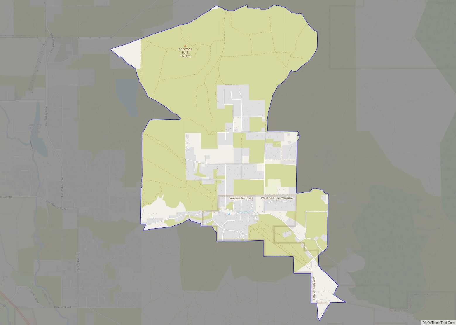
Glenbrook is a census-designated place (CDP) on the east shore of Lake Tahoe in Douglas County, Nevada, United States. The population was 215 at the 2010 census. Beach and Bay are for residents and renters living in Glenbrook’s gated community. There is no public access to the beach or bay.
The community is named after the Glenbrook House hotel and is at an elevation of 6,250 feet (1,900 m). Glenbrook is included in the Gardnerville Ranchos micropolitan statistical area.
| Name: | Glenbrook CDP |
|---|---|
| LSAD Code: | 57 |
| LSAD Description: | CDP (suffix) |
| State: | Nevada |
| County: | Douglas County |
| Elevation: | 6,431 ft (1,960 m) |
| Total Area: | 4.01 sq mi (10.38 km²) |
| Land Area: | 3.79 sq mi (9.82 km²) |
| Water Area: | 0.22 sq mi (0.56 km²) |
| Total Population: | 315 |
| Population Density: | 83.09/sq mi (32.08/km²) |
| Area code: | 775 |
| FIPS code: | 3227900 |
| GNISfeature ID: | 2583927 |
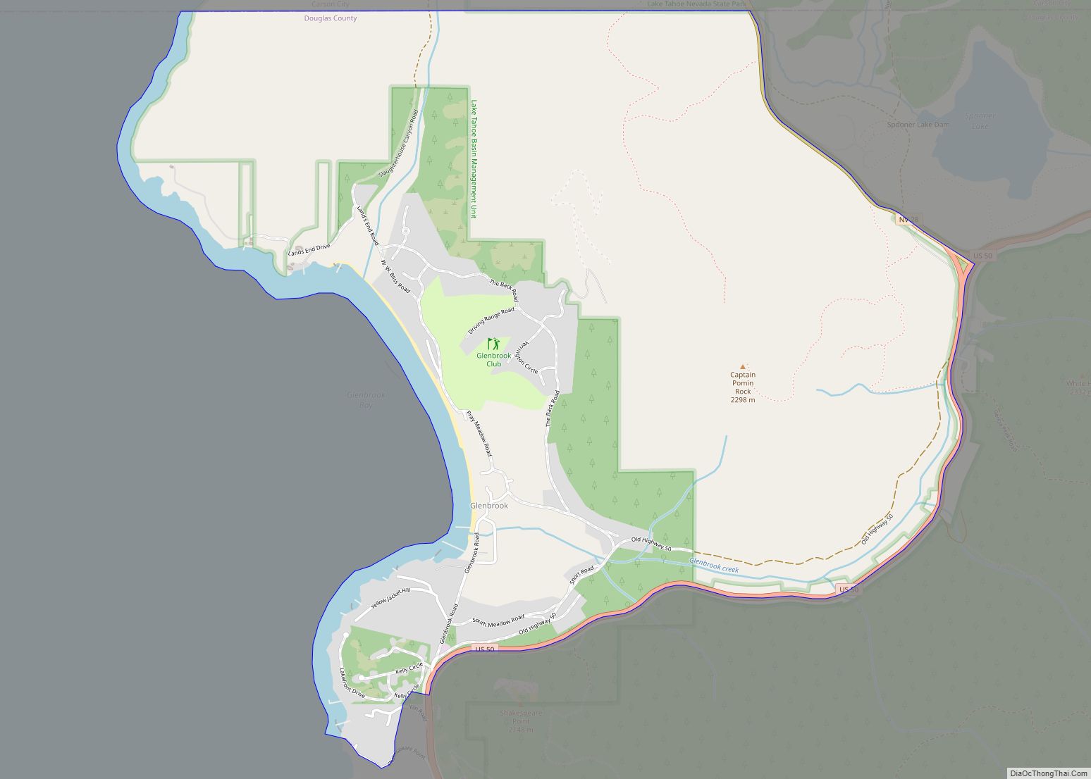
Online Interactive Map
Click on ![]() to view map in "full screen" mode.
to view map in "full screen" mode.
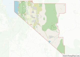
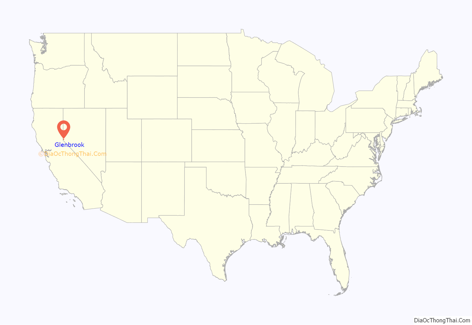
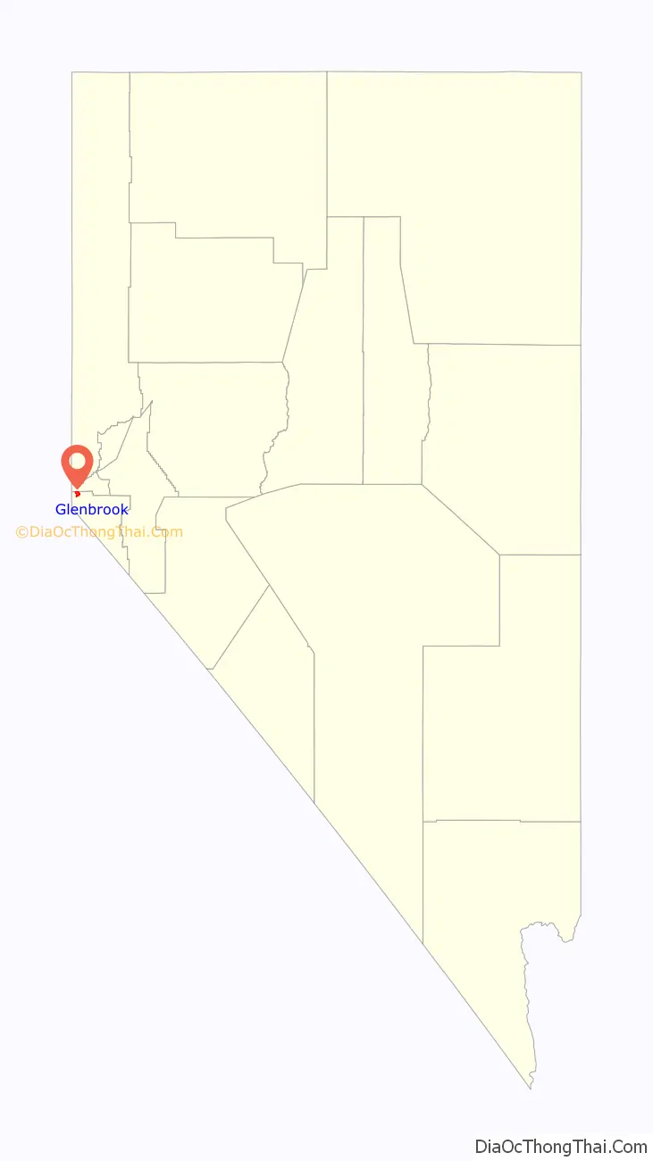
Glenbrook location map. Where is Glenbrook CDP?
History
As the oldest settlement on Lake Tahoe, Glenbrook played a significant part of Nevada’s statehood as the main supplier of timber to the Comstock Lode and Virginia City. The first settlers of the valley, which included Captain Augustus W. Pray, arrived in 1860. Pray built a sawmill in 1861. The community took its name from the former “Glenbrook House hotel”, which in turn was named after two primary local geographic features — Glen, a secluded valley, and Brook, a small stream. From forested areas near the lake, logs were driven down stream or barged to Glenbrook mills. In 1875, the town had four sawmills, a store, bowling alley and billiard hall, two hotels. After 1880, logging activity was in decline and was abandoned by the end of the century.
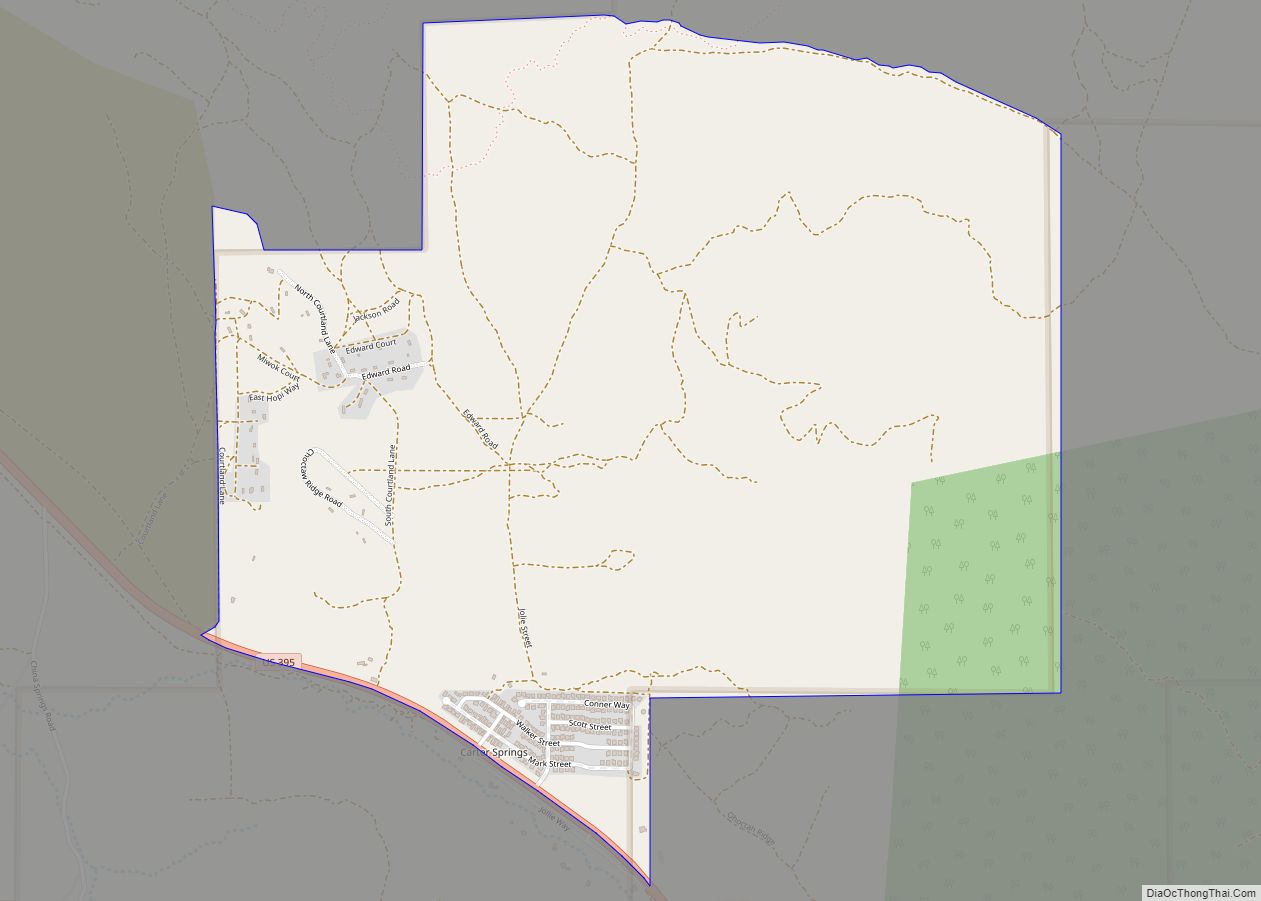
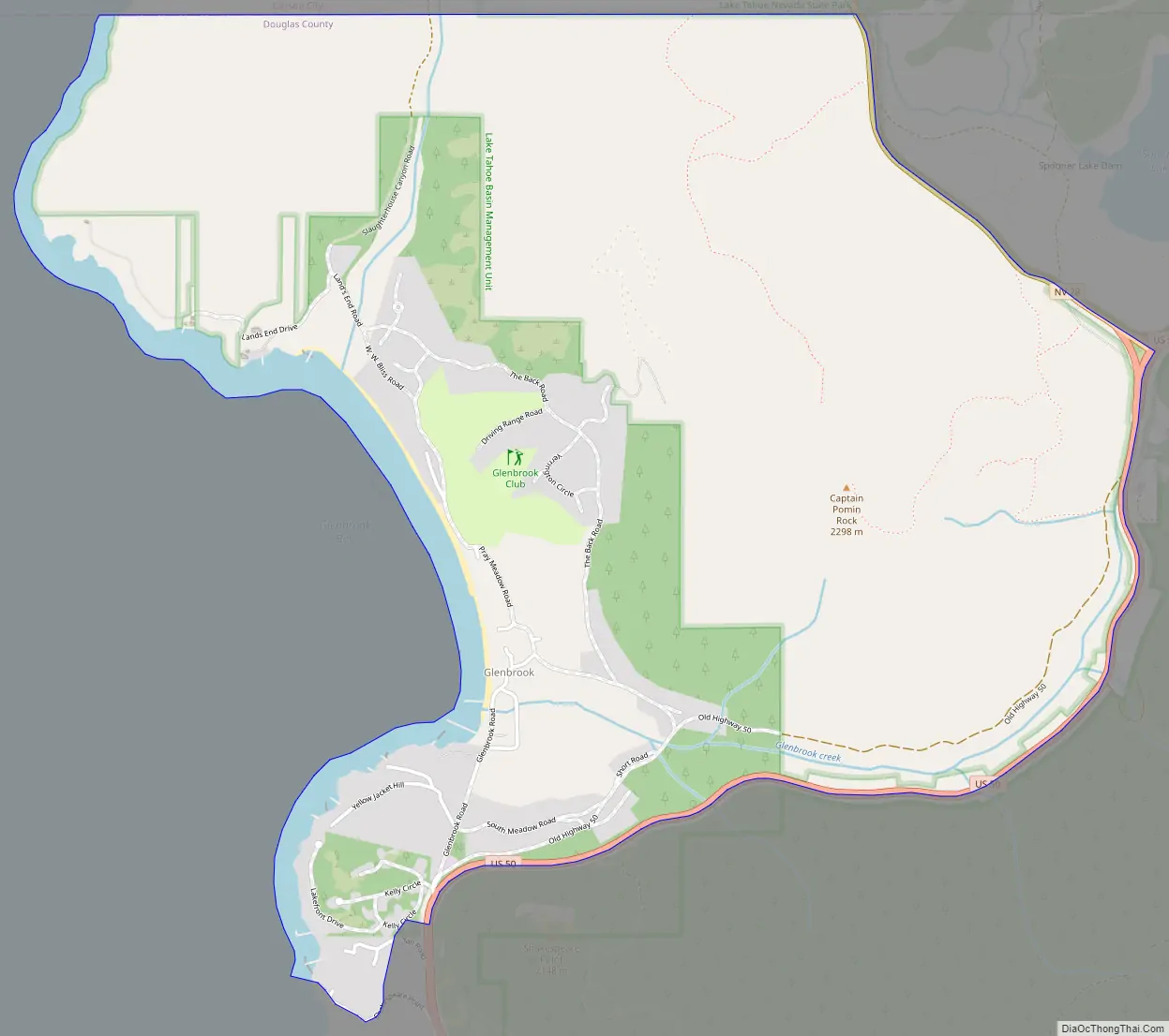
Glenbrook Road Map
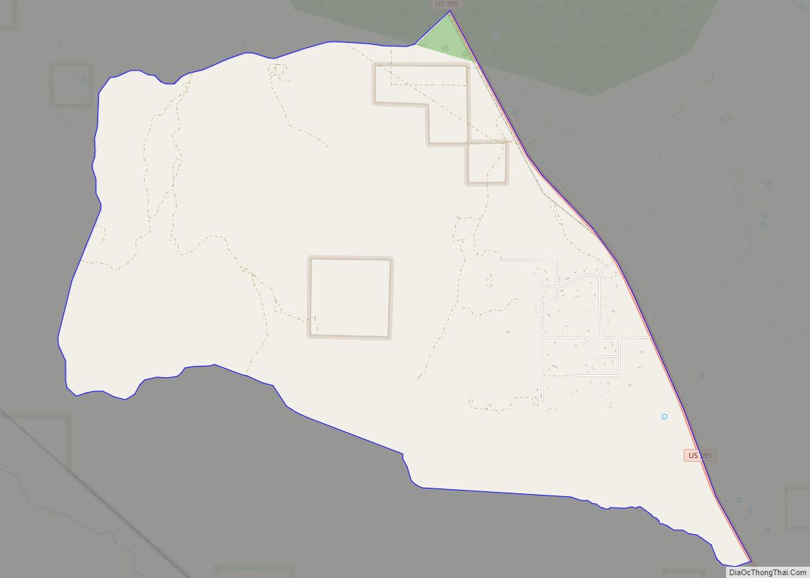
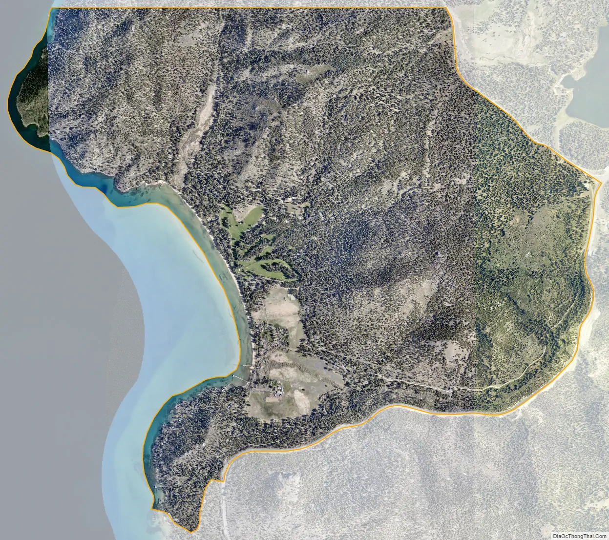
Glenbrook city Satellite Map
Geography
Glenbrook is located on the east shore of Lake Tahoe, due west of Carson City. This small community is about 10 mi (16 km) south of Incline Village, and about 12 mi (19 km) north of South Lake Tahoe, California. According to the United States Census Bureau, the CDP has a total area of 4.0 square miles (10.4 km), of which 3.8 square miles (9.8 km) is land and 0.23 square miles (0.6 km), or 5.43%, is water.
Four streams enter Lake Tahoe at Glenbrook. These are Glenbrook Creek, Sullivan Springs Creek, North Canyon Creek, and a diversion of Logan House Creek.
Climate
Area has a Köppen Climate Classification of Csb, which is a dry-summer subtropical climate often referred to as “Mediterranean”.
See also
Map of Nevada State and its subdivision: Map of other states:- Alabama
- Alaska
- Arizona
- Arkansas
- California
- Colorado
- Connecticut
- Delaware
- District of Columbia
- Florida
- Georgia
- Hawaii
- Idaho
- Illinois
- Indiana
- Iowa
- Kansas
- Kentucky
- Louisiana
- Maine
- Maryland
- Massachusetts
- Michigan
- Minnesota
- Mississippi
- Missouri
- Montana
- Nebraska
- Nevada
- New Hampshire
- New Jersey
- New Mexico
- New York
- North Carolina
- North Dakota
- Ohio
- Oklahoma
- Oregon
- Pennsylvania
- Rhode Island
- South Carolina
- South Dakota
- Tennessee
- Texas
- Utah
- Vermont
- Virginia
- Washington
- West Virginia
- Wisconsin
- Wyoming