Humboldt River Ranch is a census-designated place (CDP) in Pershing County, Nevada, United States. As of the 2010 census the population was 119.
| Name: | Humboldt River Ranch CDP |
|---|---|
| LSAD Code: | 57 |
| LSAD Description: | CDP (suffix) |
| State: | Nevada |
| County: | Pershing County |
| Elevation: | 4,316 ft (1,316 m) |
| Total Area: | 20.18 sq mi (52.27 km²) |
| Land Area: | 20.18 sq mi (52.27 km²) |
| Water Area: | 0.00 sq mi (0.00 km²) |
| Total Population: | 249 |
| Population Density: | 12.34/sq mi (4.76/km²) |
| Area code: | 775 |
| FIPS code: | 3234100 |
Online Interactive Map
Click on ![]() to view map in "full screen" mode.
to view map in "full screen" mode.
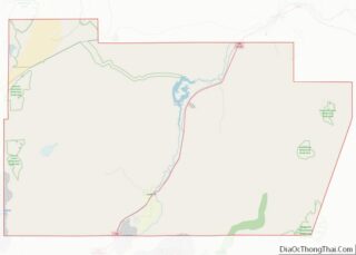
Humboldt River Ranch location map. Where is Humboldt River Ranch CDP?
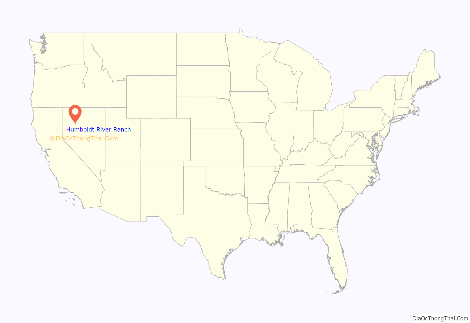
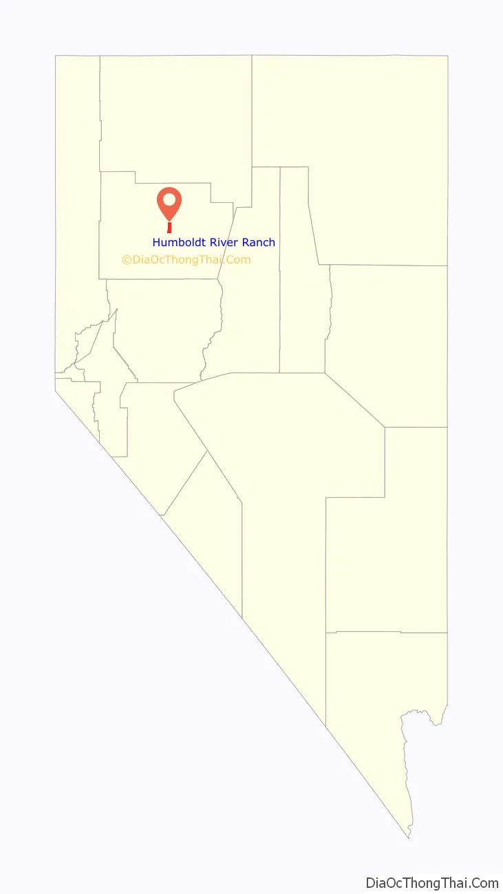
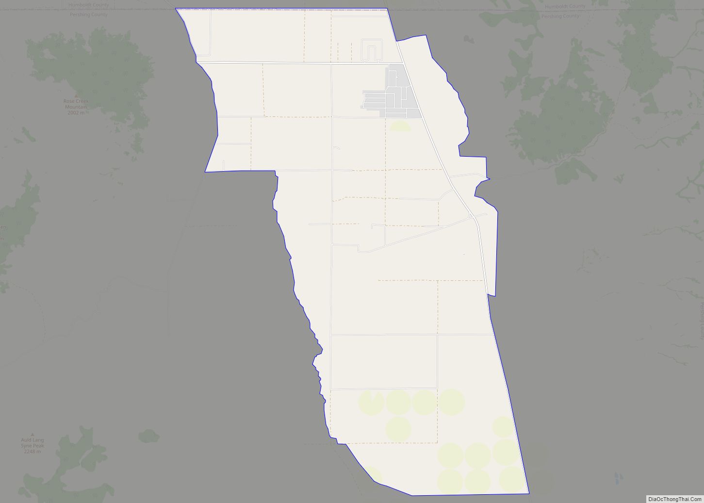
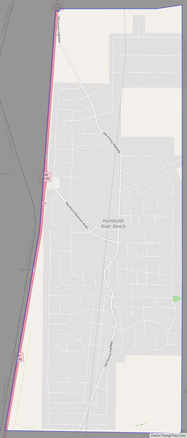
Humboldt River Ranch Road Map
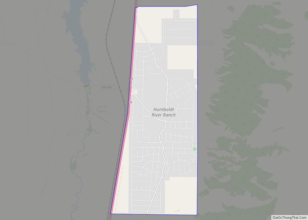
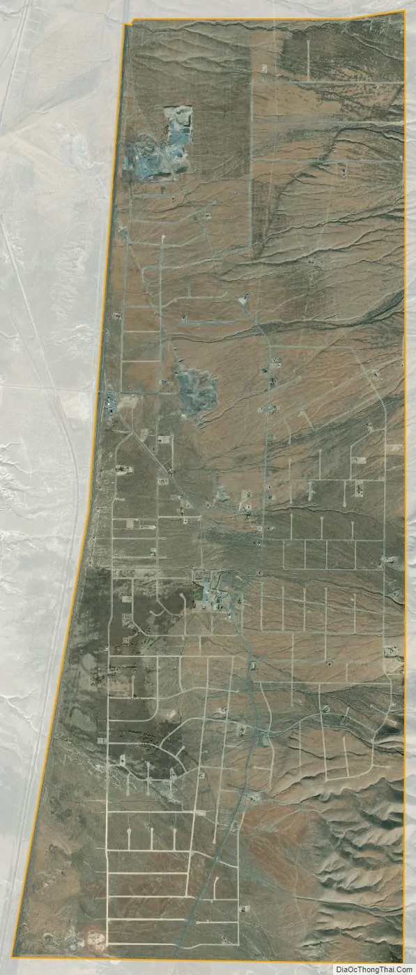
Humboldt River Ranch city Satellite Map
Geography
Humboldt River Ranch is located on the east side of Interstate 80 in northern Nevada, 25 miles (40 km) north (eastbound) of Lovelock and 50 miles (80 km) southwest of Winnemucca. The community is served by Exit 129 on I-80. Nevada State Route 401 leads west 1 mile (1.6 km) to Rye Patch State Recreation Area, located at Rye Patch Dam on the Humboldt River.
According to the U.S. Census Bureau, the Humboldt River Ranch CDP has an area of 12.9 square miles (33.3 km), all land.
See also
Map of Nevada State and its subdivision: Map of other states:- Alabama
- Alaska
- Arizona
- Arkansas
- California
- Colorado
- Connecticut
- Delaware
- District of Columbia
- Florida
- Georgia
- Hawaii
- Idaho
- Illinois
- Indiana
- Iowa
- Kansas
- Kentucky
- Louisiana
- Maine
- Maryland
- Massachusetts
- Michigan
- Minnesota
- Mississippi
- Missouri
- Montana
- Nebraska
- Nevada
- New Hampshire
- New Jersey
- New Mexico
- New York
- North Carolina
- North Dakota
- Ohio
- Oklahoma
- Oregon
- Pennsylvania
- Rhode Island
- South Carolina
- South Dakota
- Tennessee
- Texas
- Utah
- Vermont
- Virginia
- Washington
- West Virginia
- Wisconsin
- Wyoming