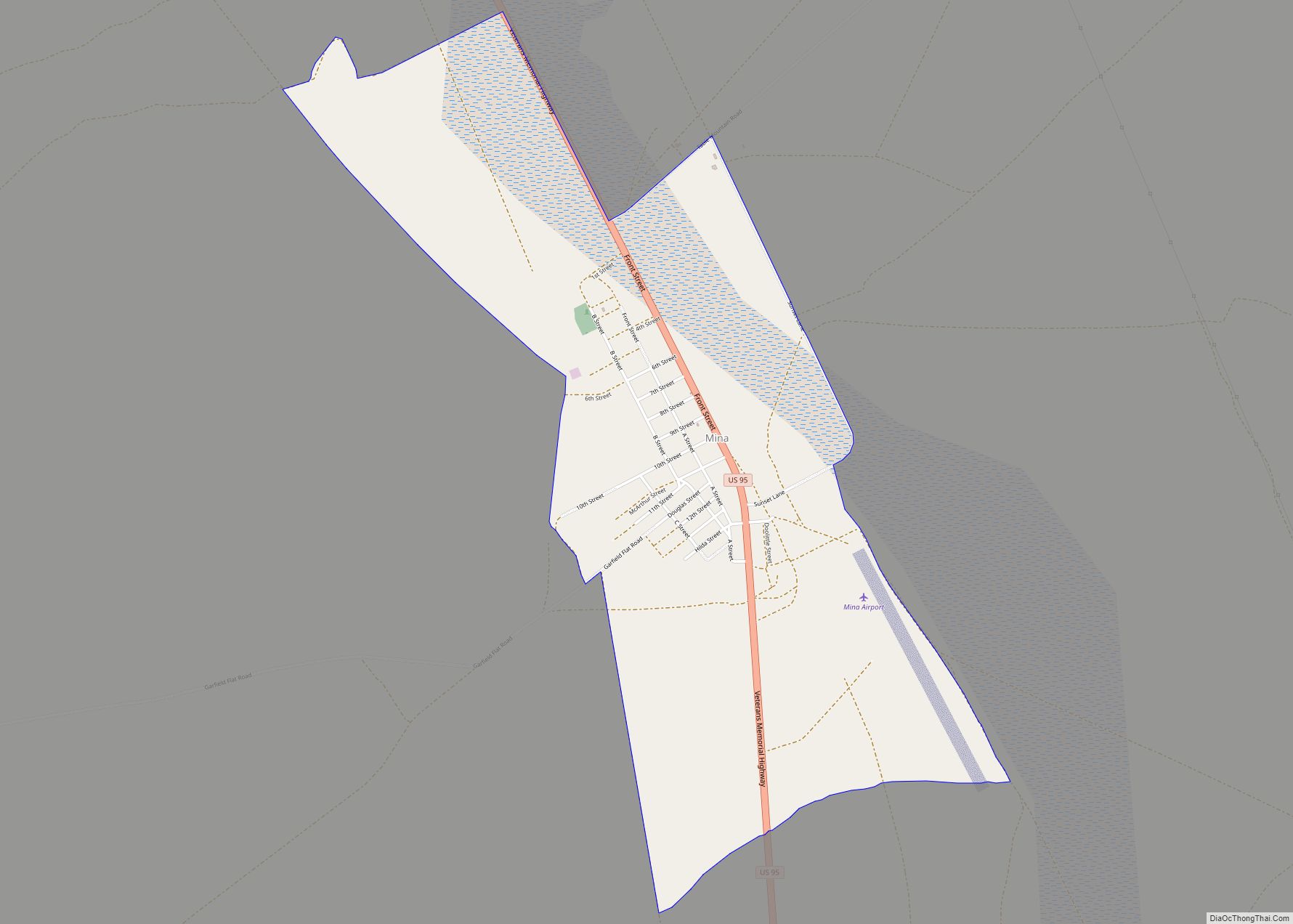
Mina is a census-designated place in Mineral County in west-central Nevada, United States. It is located along U.S. Route 95 (38° 23′ 25″ N 118° 06′ 30″ W) at an elevation of 4,560 feet (1,390 m). The 2010 population was 155.
| Name: | Mina CDP |
|---|---|
| LSAD Code: | 57 |
| LSAD Description: | CDP (suffix) |
| State: | Nevada |
| County: | Mineral County |
| Founded: | 1905; 118 years ago (1905) |
| Total Area: | 2.41 sq mi (6.24 km²) |
| Land Area: | 2.41 sq mi (6.23 km²) |
| Water Area: | 0.00 sq mi (0.00 km²) |
| Total Population: | 127 |
| Population Density: | 52.76/sq mi (20.37/km²) |
| ZIP code: | 89422 |
| Area code: | 775 |
| FIPS code: | 3246800 |
| GNISfeature ID: | 0842148 |
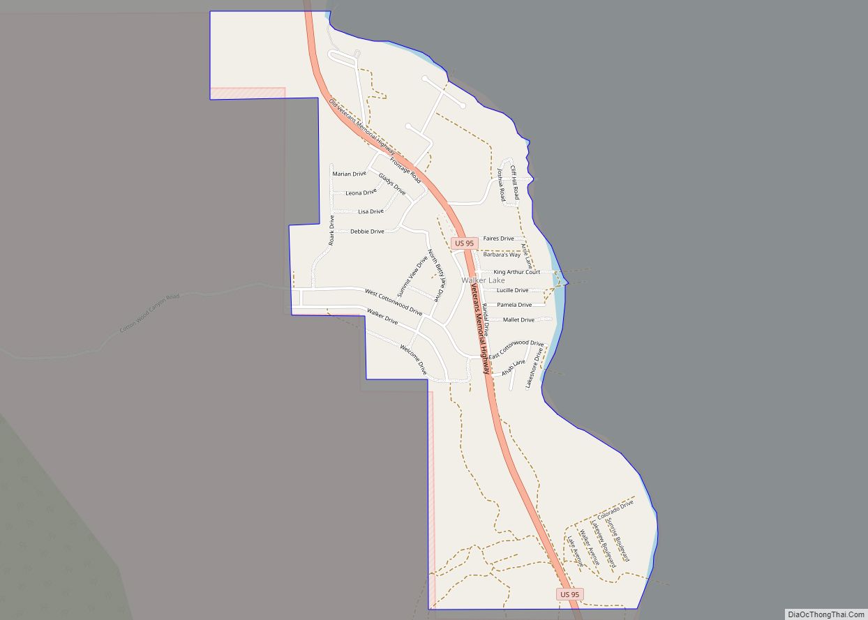
Online Interactive Map
Click on ![]() to view map in "full screen" mode.
to view map in "full screen" mode.
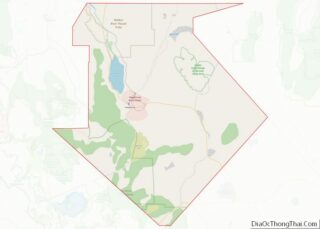
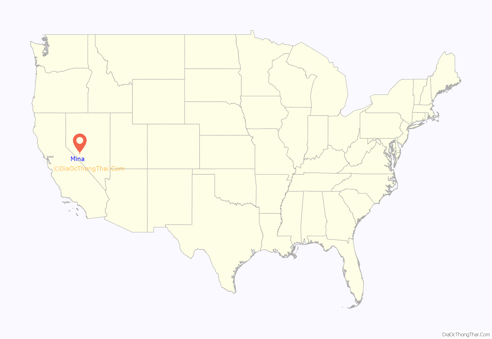
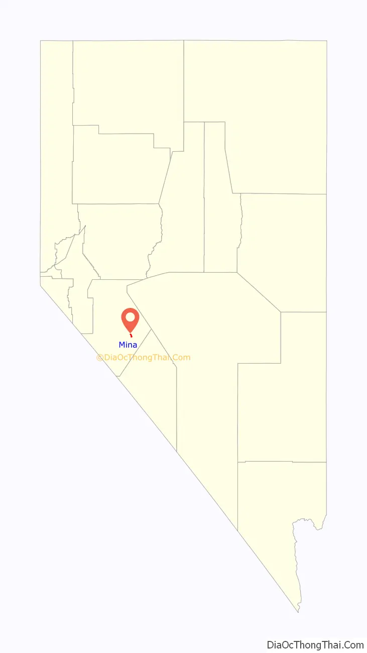
Mina location map. Where is Mina CDP?
History
Mina was founded as a railroad town in 1905 and was named for Ferminia Sarras, a large landowner and famed prospector known as the ‘Copper Queen.’ The Carson and Colorado Railway, a division of Southern Pacific Railroad, had a station in the town. The railroad is long gone – the last section between Thorne and Mina shut down in 1985 –, but at one time a local shuttle called the “Slim Princess” allowed Native Americans to ride free of charge atop the railcars, and passengers and crew would shoot wild game from open windows. The train moved slowly enough that hunters were able to retrieve their game and reboard.
Gee Jon and Hughie Sing were convicted of the August 27, 1921, Mina, Nevada murder of Tom Quong Kee. Gee Jon, a 29-year-old member of the Hop Sing Tong, became the first person to be executed by lethal gas. The execution was at the Nevada State Prison on February 8, 1924.
Name
Some sources state that the name is derived from the Spanish word meaning ‘mine.’ Other sources state that John C. Fulton (or John M. Fulton), division general manager for the Southern Pacific Railway, named the town after Fermina Sarras (or Sarrias), a Nicaraguan woman who was operating nearby copper prospects.
Initially a railroad station was intended to be at Sodaville, but agreement between the railroad and land speculators could not be reached, so Mina, Nevada, was platted two miles north of Sodaville.
Mina Road Map
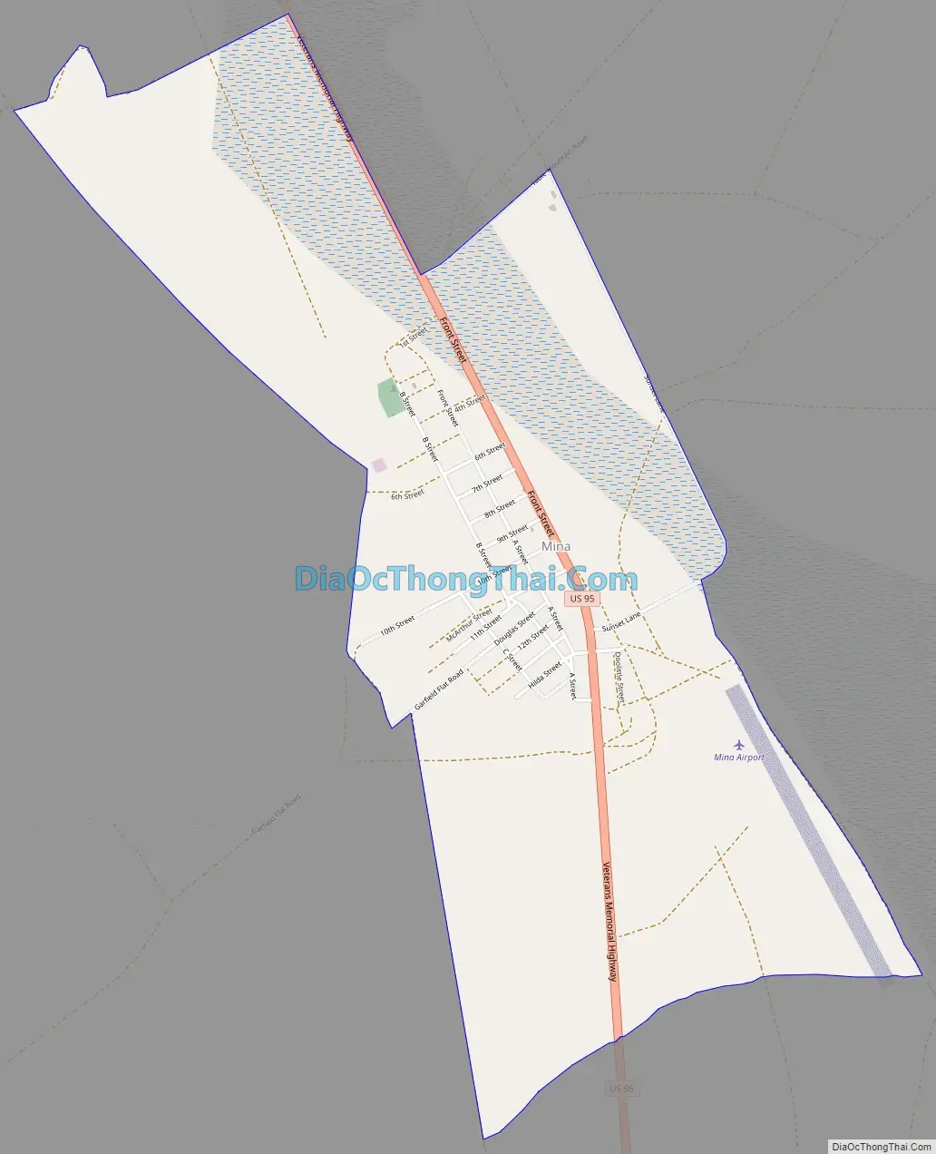
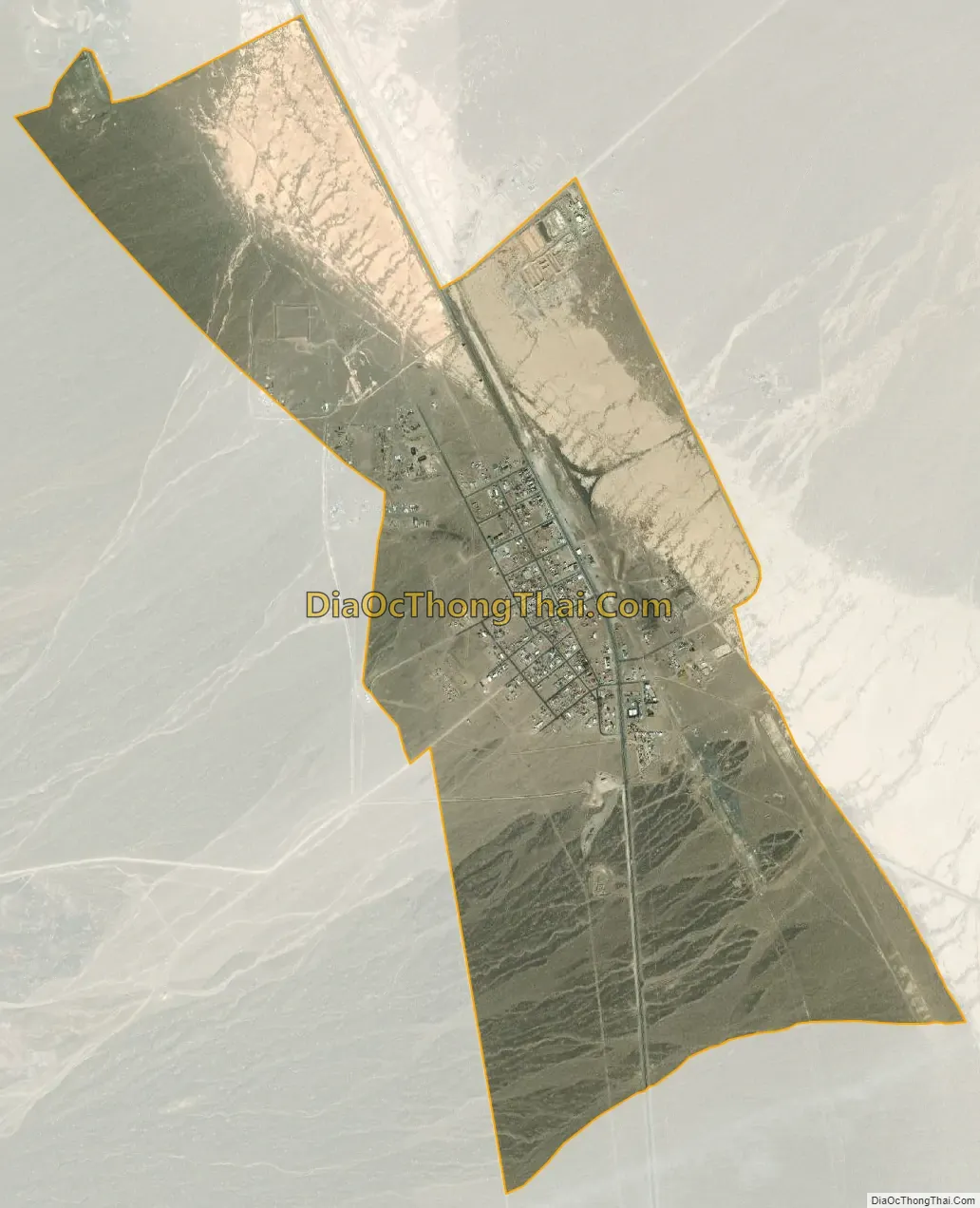
Mina city Satellite Map
Geography
Mina is located in the Soda Spring Valley of eastern Mineral County along U.S. Route 95, 32 miles (51 km) southeast of Hawthorne and 70 miles (110 km) northwest of Tonopah. According to the U.S. Census Bureau, the Mina CDP has an area of 2.4 square miles (6.2 km), all land.
Climate
The Köppen Climate System classifies the weather in this area as semi-arid, abbreviated BSk. This climate type occurs primarily on the periphery of true deserts in low-latitude semiarid steppe regions.
See also
Map of Nevada State and its subdivision: Map of other states:- Alabama
- Alaska
- Arizona
- Arkansas
- California
- Colorado
- Connecticut
- Delaware
- District of Columbia
- Florida
- Georgia
- Hawaii
- Idaho
- Illinois
- Indiana
- Iowa
- Kansas
- Kentucky
- Louisiana
- Maine
- Maryland
- Massachusetts
- Michigan
- Minnesota
- Mississippi
- Missouri
- Montana
- Nebraska
- Nevada
- New Hampshire
- New Jersey
- New Mexico
- New York
- North Carolina
- North Dakota
- Ohio
- Oklahoma
- Oregon
- Pennsylvania
- Rhode Island
- South Carolina
- South Dakota
- Tennessee
- Texas
- Utah
- Vermont
- Virginia
- Washington
- West Virginia
- Wisconsin
- Wyoming