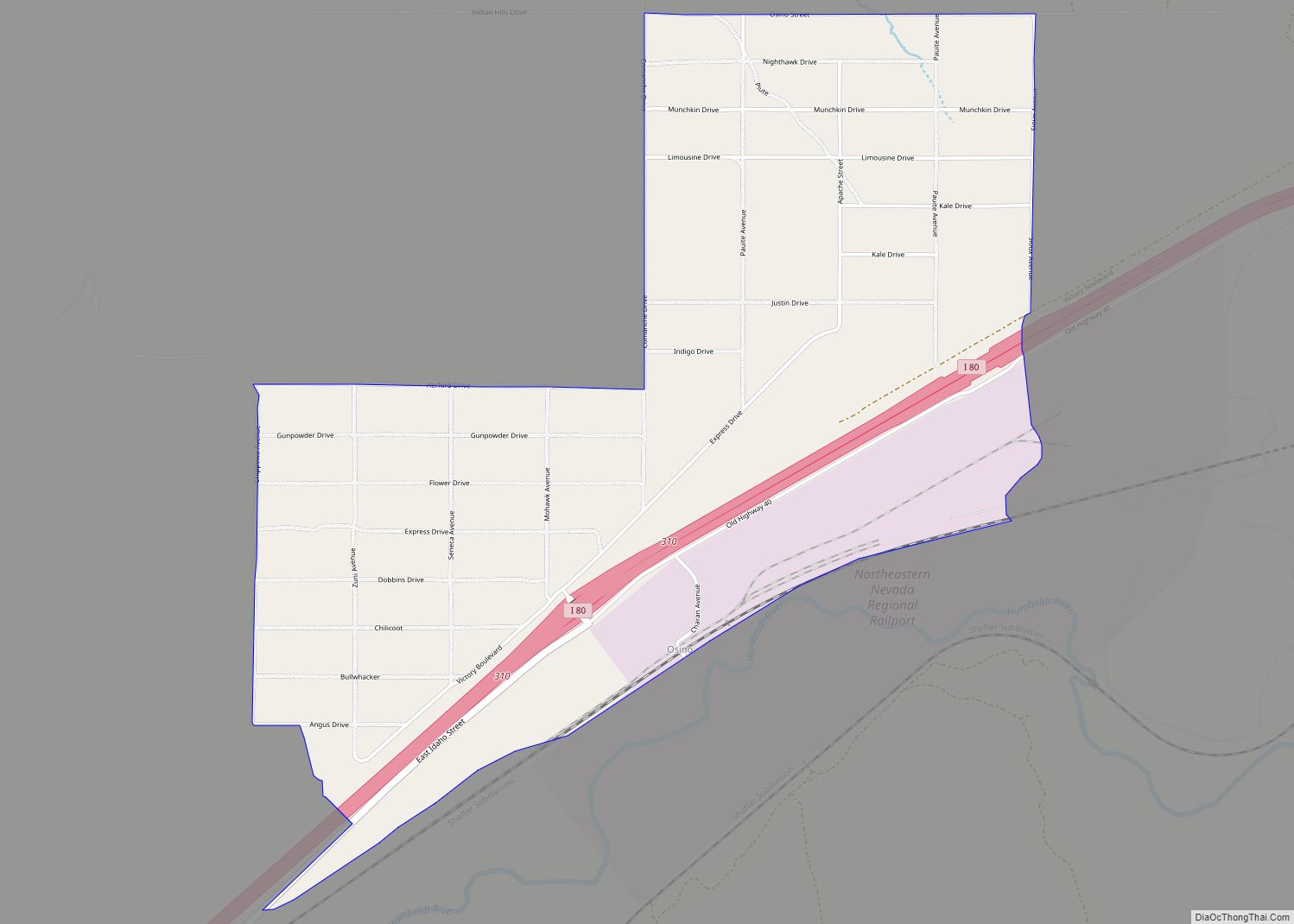
Wells is a small city in Elko County, in northeast Nevada in the western United States. The Shoshone name for the area was Toyagadzu, meaning “The end of the set of mountains”. The population was 1,292 at the 2010 census. Wells is located at the junction of Interstate 80 and U.S. Route 93, approximately 50 miles (80 km) east of Elko and is part of the Elko micropolitan area.
| Name: | Wells city |
|---|---|
| LSAD Code: | 25 |
| LSAD Description: | city (suffix) |
| State: | Nevada |
| County: | Elko County |
| Elevation: | 5,630 ft (1,716 m) |
| Total Area: | 6.90 sq mi (17.88 km²) |
| Land Area: | 6.90 sq mi (17.88 km²) |
| Water Area: | 0.00 sq mi (0.00 km²) |
| Total Population: | 1,237 |
| Population Density: | 179.17/sq mi (69.18/km²) |
| ZIP code: | 89835 |
| Area code: | 775 |
| FIPS code: | 3283000 |
| GNISfeature ID: | 0845730 |
Online Interactive Map
Click on ![]() to view map in "full screen" mode.
to view map in "full screen" mode.
Wells location map. Where is Wells city?


History
The site of Wells began as a place called Humboldt Wells along the trail to California. It was subsequently founded as a railroad town along the original Transcontinental Railroad, and was once a stopover for passenger trains. The Humboldt River has its source in springs and a swampy area just west of the city that today is called Humboldt Wells. In the late 19th century, Humboldt Wells was burning down, and in a frantic plea for help, a telegraph was sent that said, “Wells is burning”. After this the town was rebuilt and simply referred to as ‘Wells’.
A magnitude 6.0 earthquake occurred near Wells at 6:16 A.M. on February 21, 2008. Because of its proximity to the epicenter, Wells experienced significant damage. The earthquake originated 9 km below the surface, with its epicenter only 12 miles (19 km) distant from Wells, at 41.077, 114.752.
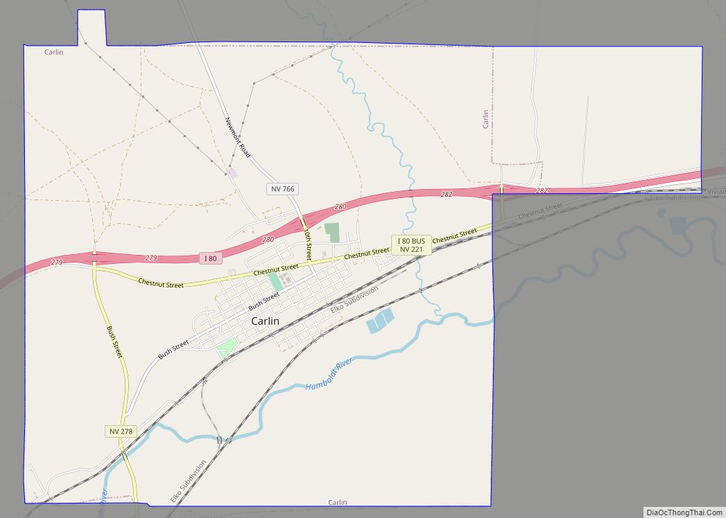
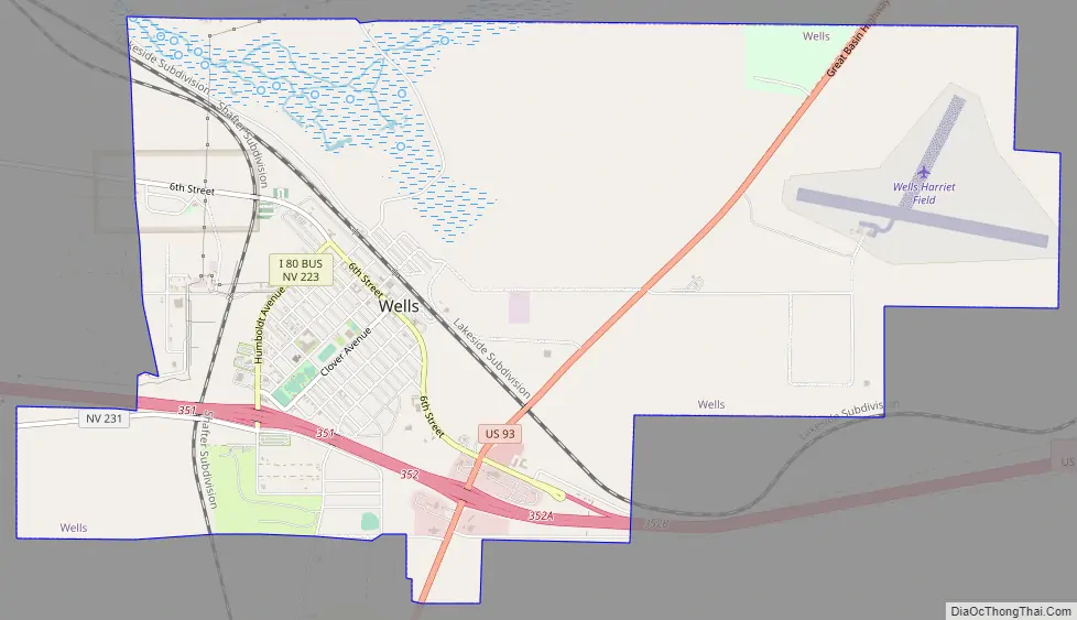
Wells Road Map
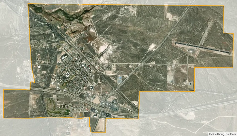
Wells city Satellite Map
Geography
According to the United States Census Bureau, the city has a total area of 6.9 square miles (18 km), all land, at an elevation of 5,630 feet (1,720 m).
Wells is located by the intersection of Interstate 80 and U.S. Route 93.
See also
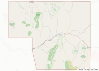
Map of Nevada State and its subdivision: Map of other states:- Alabama
- Alaska
- Arizona
- Arkansas
- California
- Colorado
- Connecticut
- Delaware
- District of Columbia
- Florida
- Georgia
- Hawaii
- Idaho
- Illinois
- Indiana
- Iowa
- Kansas
- Kentucky
- Louisiana
- Maine
- Maryland
- Massachusetts
- Michigan
- Minnesota
- Mississippi
- Missouri
- Montana
- Nebraska
- Nevada
- New Hampshire
- New Jersey
- New Mexico
- New York
- North Carolina
- North Dakota
- Ohio
- Oklahoma
- Oregon
- Pennsylvania
- Rhode Island
- South Carolina
- South Dakota
- Tennessee
- Texas
- Utah
- Vermont
- Virginia
- Washington
- West Virginia
- Wisconsin
- Wyoming