Akins is a census-designated place (CDP) in Sequoyah County, Oklahoma, United States. It is part of the Fort Smith, Arkansas-Oklahoma Metropolitan Statistical Area. The population was 493 at the 2010 census, an increase of 9.8 percent over the figure of 449 recorded in 2000.
The post office existed from February 16, 1894, until December 31, 1943. It is said to be named for Robert Akins, a mail carrier.
Sequoyah’s Cabin, a national historic site, is located about two miles northeast of the town.
Akins is perhaps best remembered as the home of the Floyd family and Charles Arthur Floyd is buried in the Akins Cemetery. His funeral in 1934 attracted 20 thousand and maybe as many as 40 thousand people. As of 2013 it remains the most highly attended funeral in Oklahoma history.
| Name: | Akins CDP |
|---|---|
| LSAD Code: | 57 |
| LSAD Description: | CDP (suffix) |
| State: | Oklahoma |
| County: | Sequoyah County |
| Elevation: | 597 ft (182 m) |
| Total Area: | 13.65 sq mi (35.36 km²) |
| Land Area: | 13.60 sq mi (35.22 km²) |
| Water Area: | 0.06 sq mi (0.14 km²) |
| Total Population: | 405 |
| Population Density: | 29.78/sq mi (11.50/km²) |
| FIPS code: | 4000900 |
| GNISfeature ID: | 1089741 |
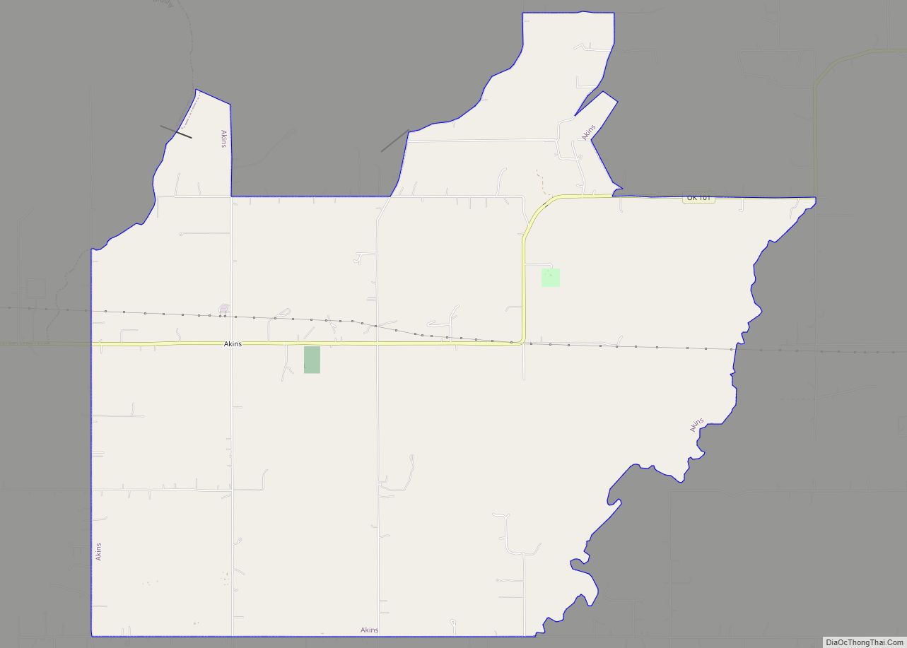
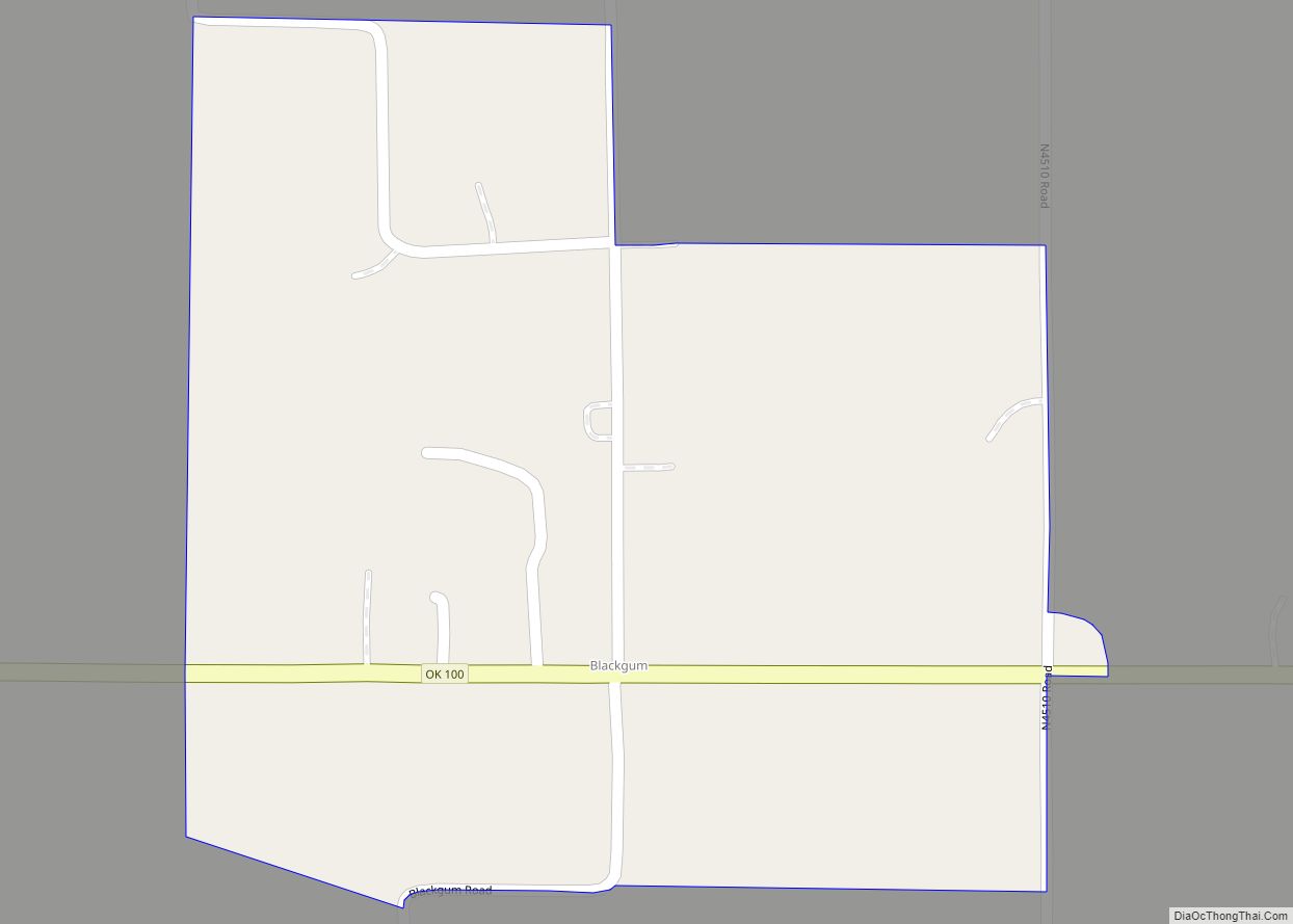
Online Interactive Map
Click on ![]() to view map in "full screen" mode.
to view map in "full screen" mode.
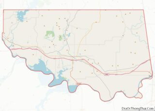
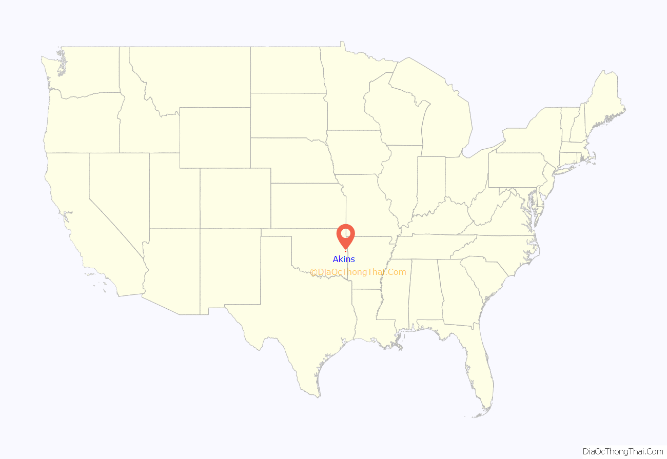
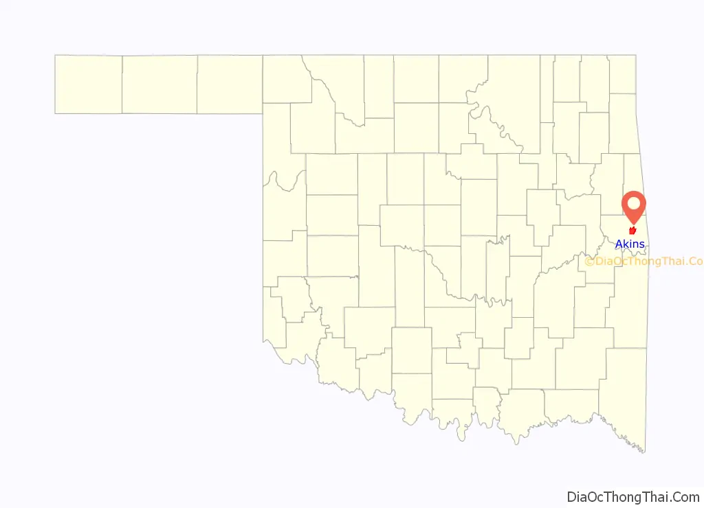
Akins location map. Where is Akins CDP?
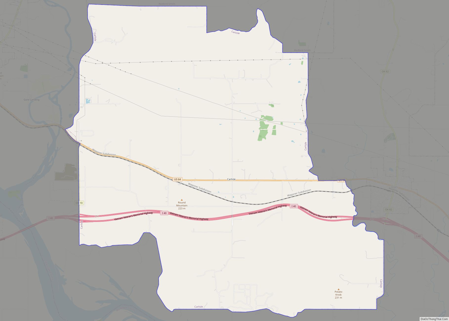
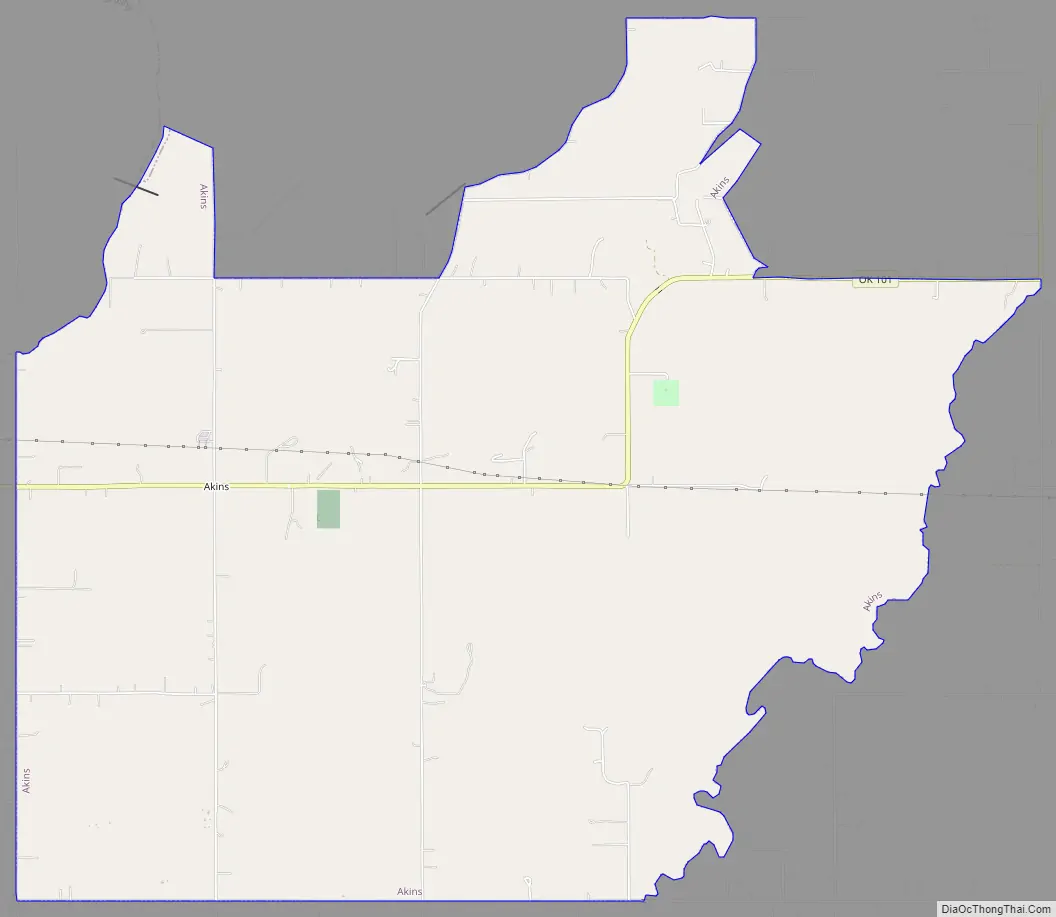
Akins Road Map
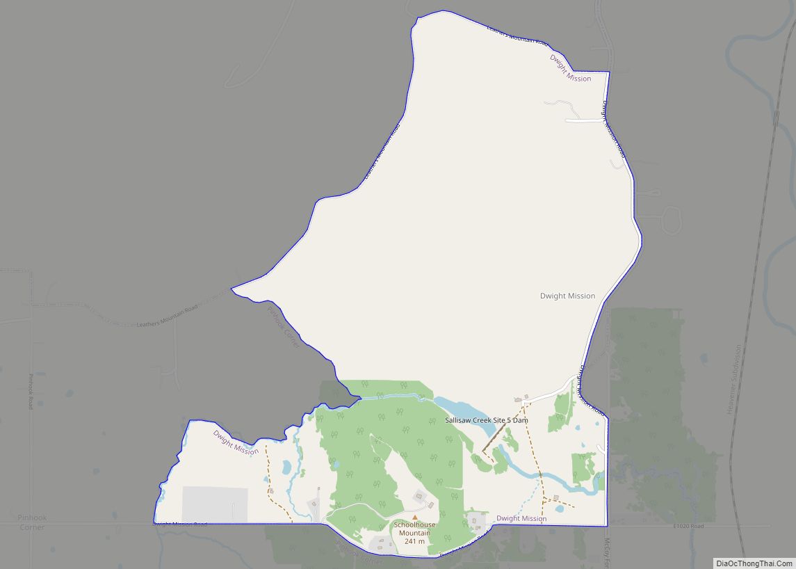
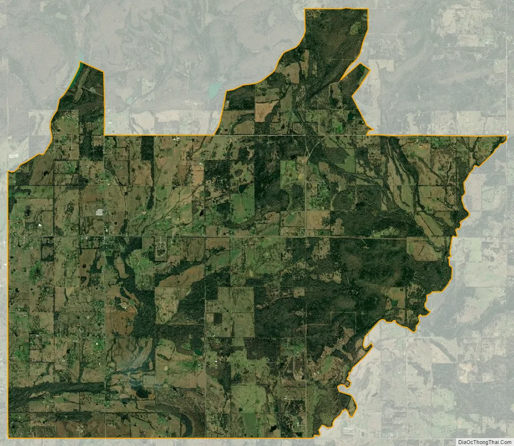
Akins city Satellite Map
Geography
Akins is located at 35°30′27″N 94°40′7″W / 35.50750°N 94.66861°W / 35.50750; -94.66861 (35.507392, -94.668642).
According to the United States Census Bureau, the CDP has a total area of 13.6 square miles (35 km), all land.
See also
Map of Oklahoma State and its subdivision:- Adair
- Alfalfa
- Atoka
- Beaver
- Beckham
- Blaine
- Bryan
- Caddo
- Canadian
- Carter
- Cherokee
- Choctaw
- Cimarron
- Cleveland
- Coal
- Comanche
- Cotton
- Craig
- Creek
- Custer
- Delaware
- Dewey
- Ellis
- Garfield
- Garvin
- Grady
- Grant
- Greer
- Harmon
- Harper
- Haskell
- Hughes
- Jackson
- Jefferson
- Johnston
- Kay
- Kingfisher
- Kiowa
- Latimer
- Le Flore
- Lincoln
- Logan
- Love
- Major
- Marshall
- Mayes
- McClain
- McCurtain
- McIntosh
- Murray
- Muskogee
- Noble
- Nowata
- Okfuskee
- Oklahoma
- Okmulgee
- Osage
- Ottawa
- Pawnee
- Payne
- Pittsburg
- Pontotoc
- Pottawatomie
- Pushmataha
- Roger Mills
- Rogers
- Seminole
- Sequoyah
- Stephens
- Texas
- Tillman
- Tulsa
- Wagoner
- Washington
- Washita
- Woods
- Woodward
- Alabama
- Alaska
- Arizona
- Arkansas
- California
- Colorado
- Connecticut
- Delaware
- District of Columbia
- Florida
- Georgia
- Hawaii
- Idaho
- Illinois
- Indiana
- Iowa
- Kansas
- Kentucky
- Louisiana
- Maine
- Maryland
- Massachusetts
- Michigan
- Minnesota
- Mississippi
- Missouri
- Montana
- Nebraska
- Nevada
- New Hampshire
- New Jersey
- New Mexico
- New York
- North Carolina
- North Dakota
- Ohio
- Oklahoma
- Oregon
- Pennsylvania
- Rhode Island
- South Carolina
- South Dakota
- Tennessee
- Texas
- Utah
- Vermont
- Virginia
- Washington
- West Virginia
- Wisconsin
- Wyoming