Bernice is a town in Delaware County, Oklahoma, United States. The population was 562 at the 2010 census, an increase of 11.5 percent over the figure of 504 recorded in 2000. The town is now primarily a vacation and retirement area. It claims to be the “Crappie Fishing Capital of the World.”
| Name: | Bernice town |
|---|---|
| LSAD Code: | 43 |
| LSAD Description: | town (suffix) |
| State: | Oklahoma |
| County: | Delaware County |
| Elevation: | 761 ft (232 m) |
| Total Area: | 1.41 sq mi (3.64 km²) |
| Land Area: | 0.82 sq mi (2.11 km²) |
| Water Area: | 0.59 sq mi (1.53 km²) |
| Total Population: | 422 |
| Population Density: | 517.16/sq mi (199.77/km²) |
| FIPS code: | 4005550 |
| GNISfeature ID: | 1090016 |
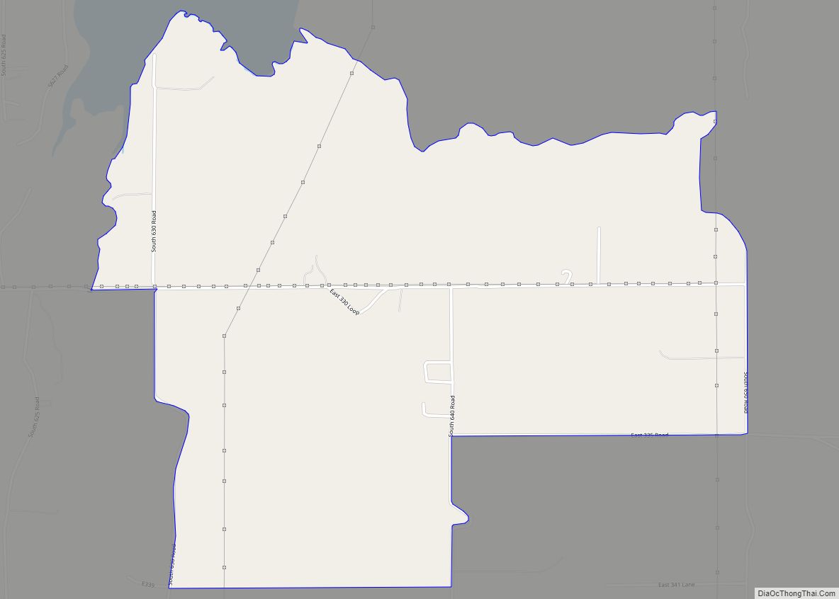
Online Interactive Map
Click on ![]() to view map in "full screen" mode.
to view map in "full screen" mode.
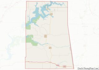
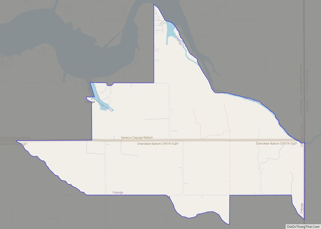
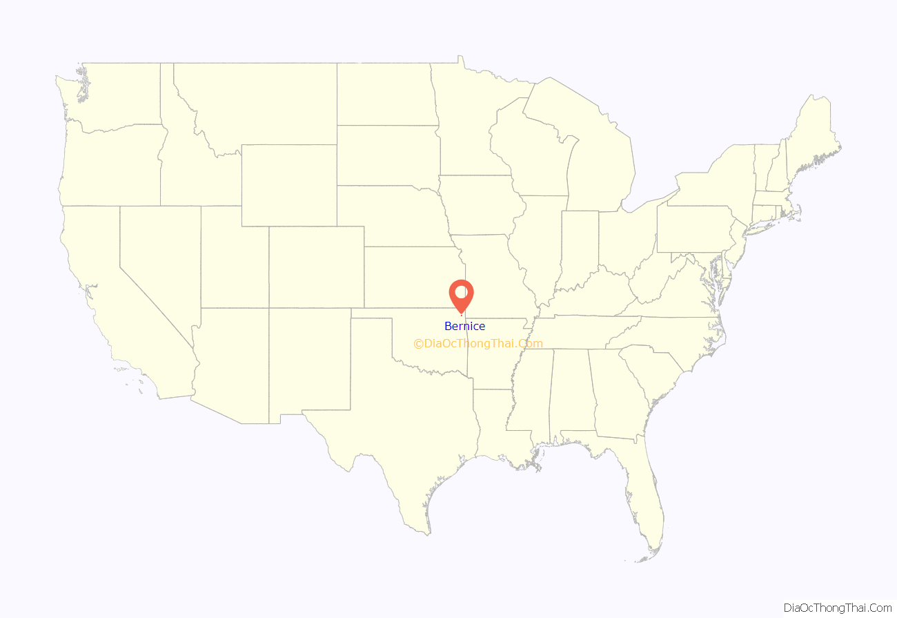
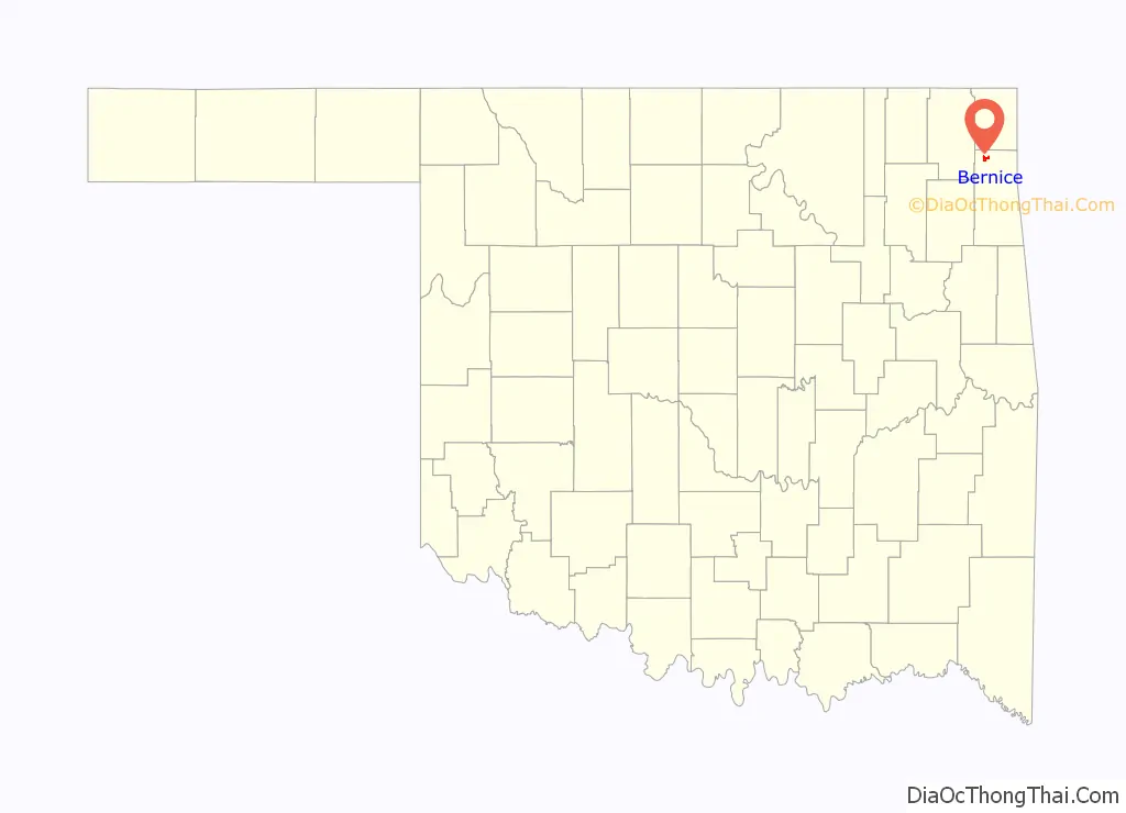
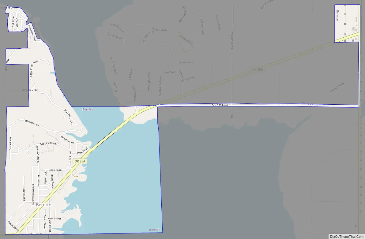
Bernice location map. Where is Bernice town?
History
Bernice was founded in 1912, after Rose Mode and his partner, Charles Lee, bought 60 acres (24 ha) of land in the Horse Creek Basin of northwestern Delaware County. The town was named for Mode’s daughter, Bernice. A post office was established on February 12, 1913, and the town soon become a local agricultural center. By 1918, Bernice had an estimated population on nearly 400 people. Businesses included a bank, a milliner, a grain elevator, a sawmill, a hotel, a flour mill and three general stores. The population declined after World War I and the Great Depression from 198 in 1920 to 162 in 1930, and 91 in 1940. After World War II, population growth rebounded to 318 in 1980.
Construction of Pensacola Dam and Grand Lake o’ the Cherokees put the original town in a flood plain, so the residents moved to high ground outside the proposed lake.
At present, the town serves as a vacation spot for many residents of surrounding communities. Indian Hills Resort, the oldest recreational business in the town, was established in 1940. Bernice State Park, approximately one-half mile east of town, across the Neosho River, also attracts vacationers.
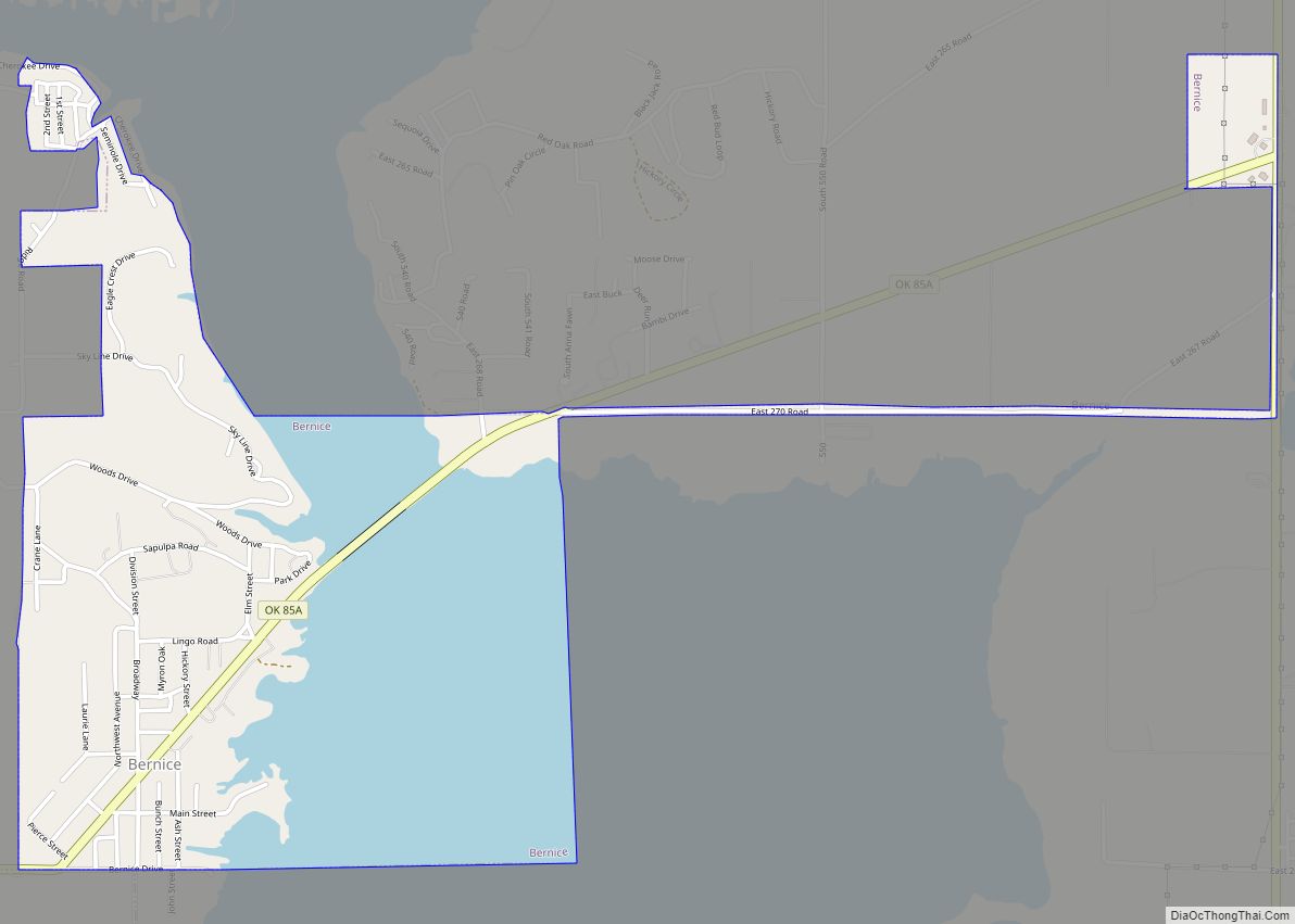
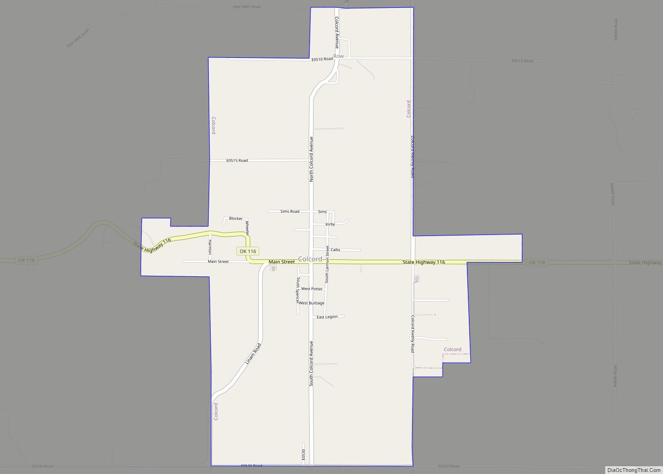
Bernice Road Map
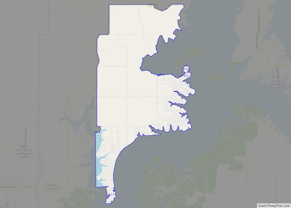
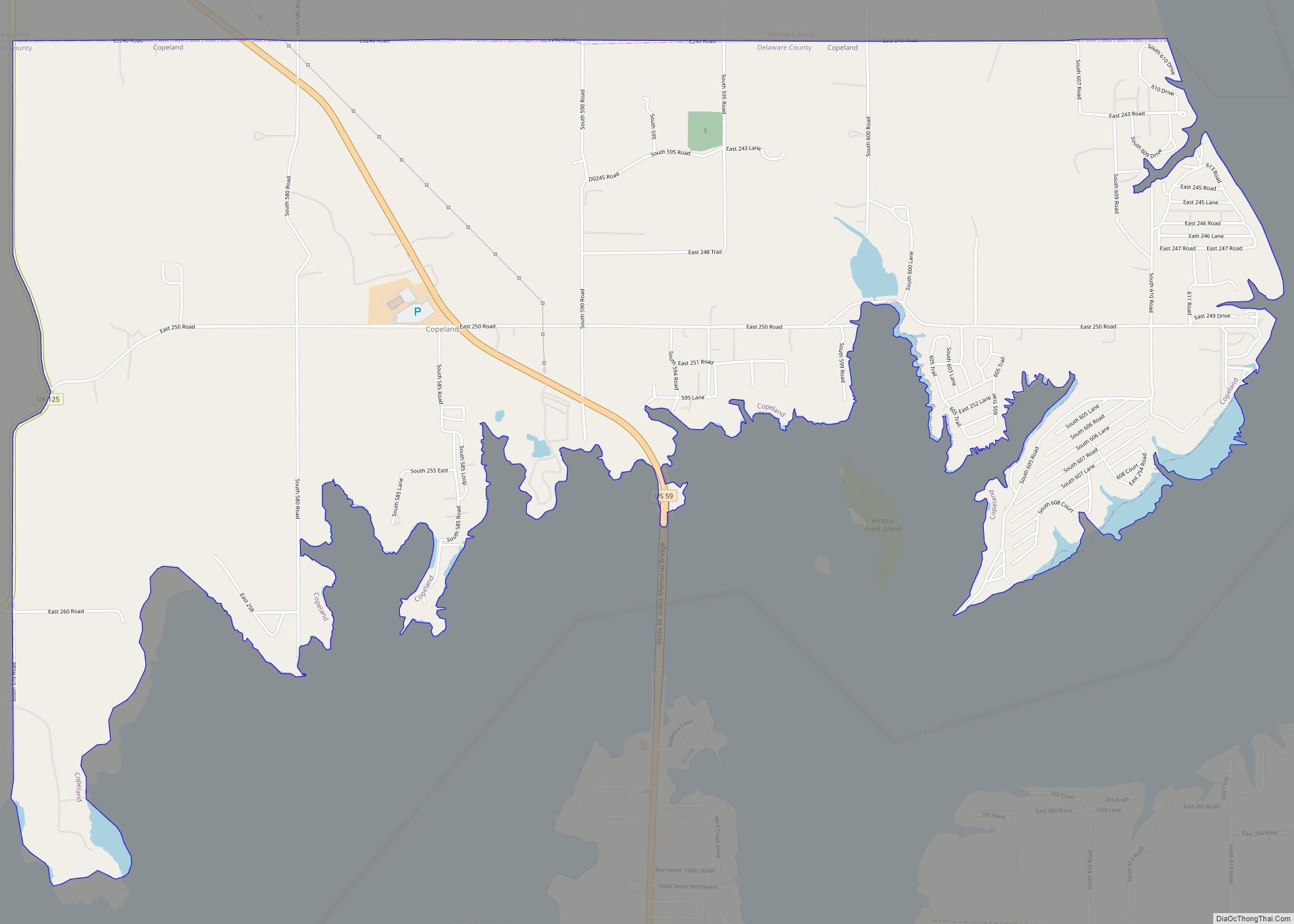
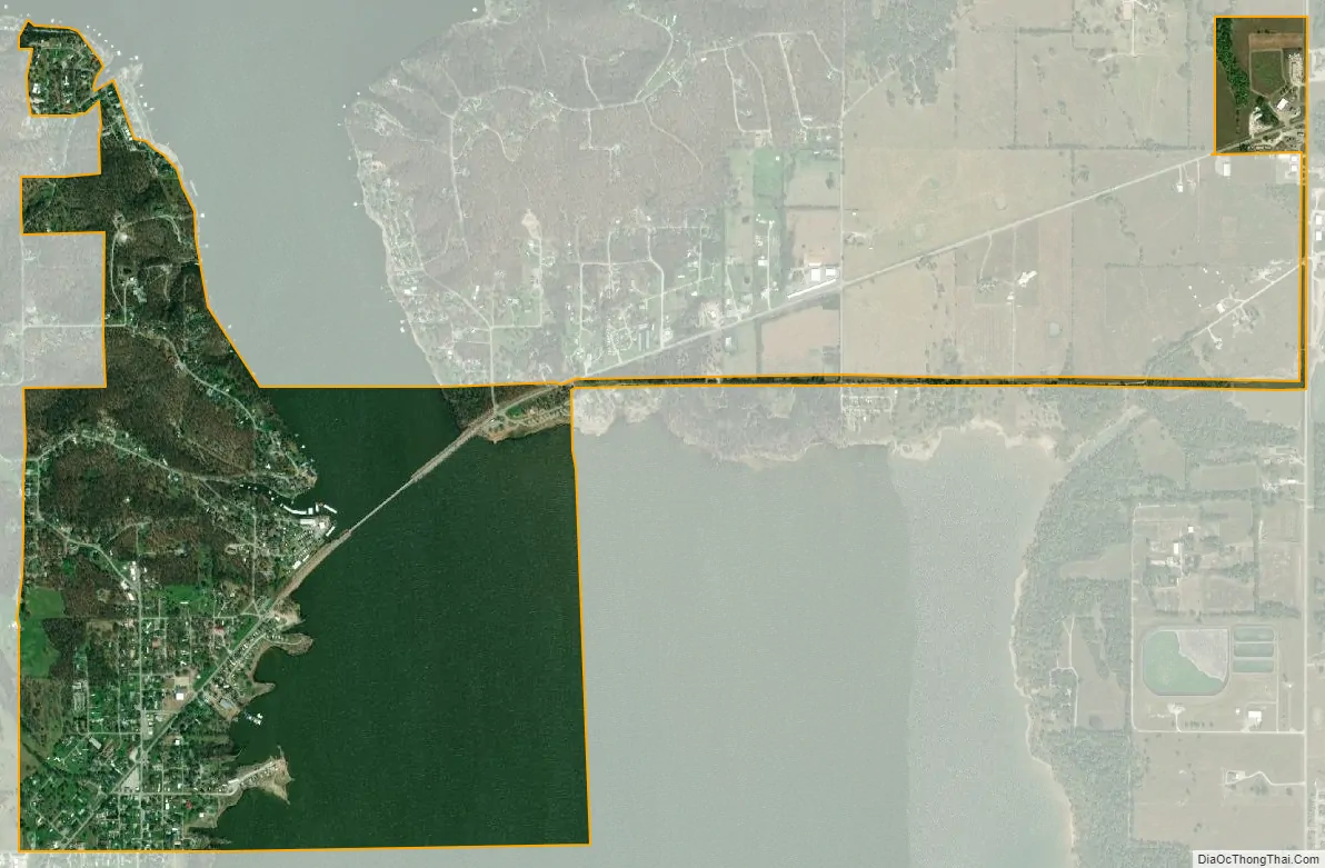
Bernice city Satellite Map
Geography
Bernice is located along the west bank of Horse Creek, at 36°37′31″N 94°54′49″W / 36.62528°N 94.91361°W / 36.62528; -94.91361 (36.625286, -94.913643).
According to the United States Census Bureau, the town has a total area of 1.5 square miles (3.9 km), of which 0.9 square miles (2.3 km) is land and 0.6 square miles (1.6 km) (38.62%) is water.
See also
Map of Oklahoma State and its subdivision:- Adair
- Alfalfa
- Atoka
- Beaver
- Beckham
- Blaine
- Bryan
- Caddo
- Canadian
- Carter
- Cherokee
- Choctaw
- Cimarron
- Cleveland
- Coal
- Comanche
- Cotton
- Craig
- Creek
- Custer
- Delaware
- Dewey
- Ellis
- Garfield
- Garvin
- Grady
- Grant
- Greer
- Harmon
- Harper
- Haskell
- Hughes
- Jackson
- Jefferson
- Johnston
- Kay
- Kingfisher
- Kiowa
- Latimer
- Le Flore
- Lincoln
- Logan
- Love
- Major
- Marshall
- Mayes
- McClain
- McCurtain
- McIntosh
- Murray
- Muskogee
- Noble
- Nowata
- Okfuskee
- Oklahoma
- Okmulgee
- Osage
- Ottawa
- Pawnee
- Payne
- Pittsburg
- Pontotoc
- Pottawatomie
- Pushmataha
- Roger Mills
- Rogers
- Seminole
- Sequoyah
- Stephens
- Texas
- Tillman
- Tulsa
- Wagoner
- Washington
- Washita
- Woods
- Woodward
- Alabama
- Alaska
- Arizona
- Arkansas
- California
- Colorado
- Connecticut
- Delaware
- District of Columbia
- Florida
- Georgia
- Hawaii
- Idaho
- Illinois
- Indiana
- Iowa
- Kansas
- Kentucky
- Louisiana
- Maine
- Maryland
- Massachusetts
- Michigan
- Minnesota
- Mississippi
- Missouri
- Montana
- Nebraska
- Nevada
- New Hampshire
- New Jersey
- New Mexico
- New York
- North Carolina
- North Dakota
- Ohio
- Oklahoma
- Oregon
- Pennsylvania
- Rhode Island
- South Carolina
- South Dakota
- Tennessee
- Texas
- Utah
- Vermont
- Virginia
- Washington
- West Virginia
- Wisconsin
- Wyoming