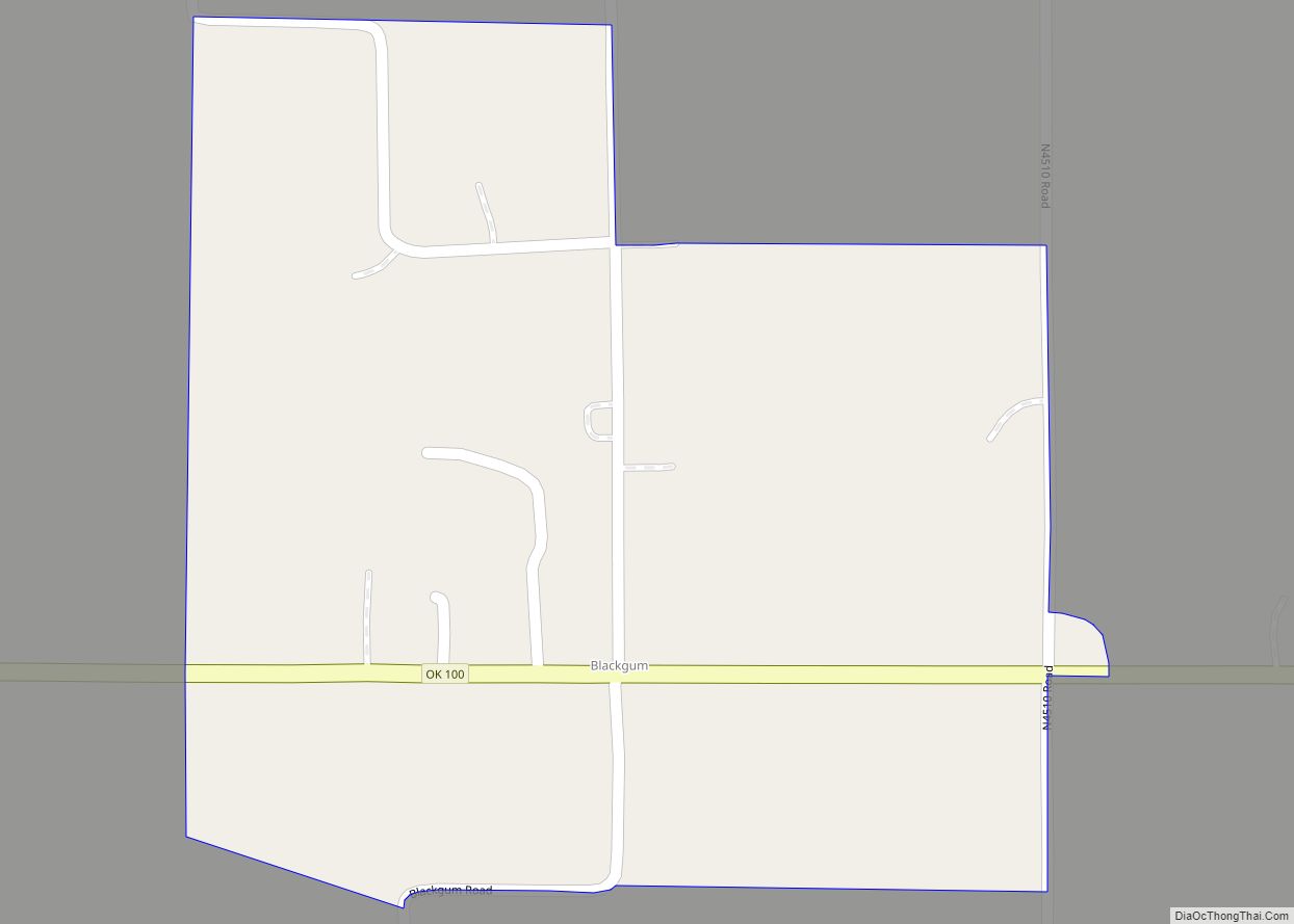
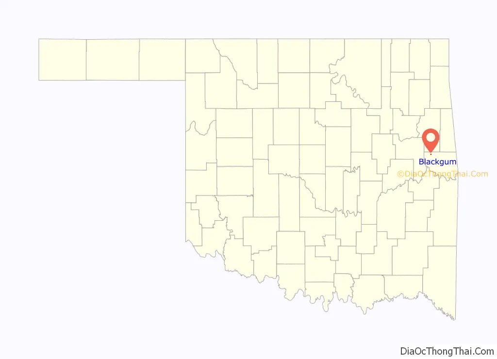
Blackgum is an unincorporated community and census-designated place in Sequoyah County, Oklahoma, United States. Its population was 51 as of the 2010 census. Oklahoma State Highway 100 passes through the community.
Blackgum had a post office from June 17, 1895, until February 15, 1995. It was named for the blackgum tree.
| Name: | Blackgum CDP |
|---|---|
| LSAD Code: | 57 |
| LSAD Description: | CDP (suffix) |
| State: | Oklahoma |
| County: | Sequoyah County |
| Elevation: | 906 ft (276 m) |
| Total Area: | 0.22 sq mi (0.57 km²) |
| Land Area: | 0.22 sq mi (0.56 km²) |
| Water Area: | 0.00 sq mi (0.00 km²) |
| Total Population: | 47 |
| Population Density: | 215.60/sq mi (83.42/km²) |
| FIPS code: | 4006500 |
| GNISfeature ID: | 1090225 |
Online Interactive Map
Click on ![]() to view map in "full screen" mode.
to view map in "full screen" mode.
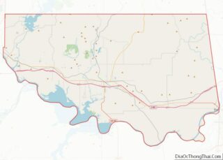
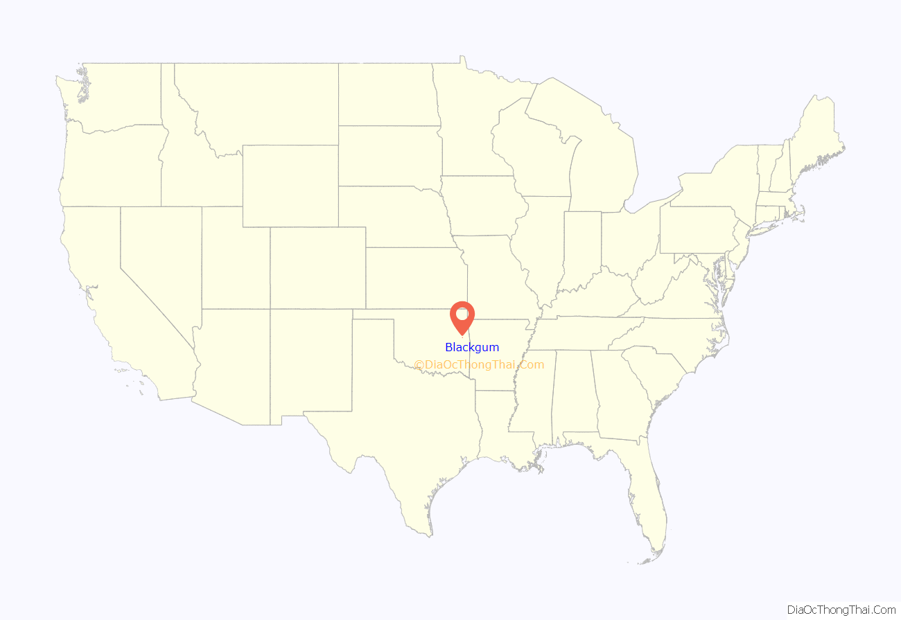
Blackgum location map. Where is Blackgum CDP?
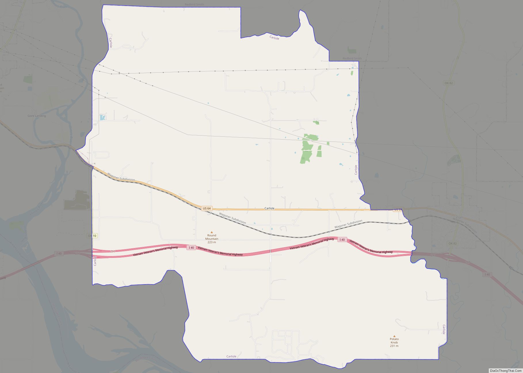
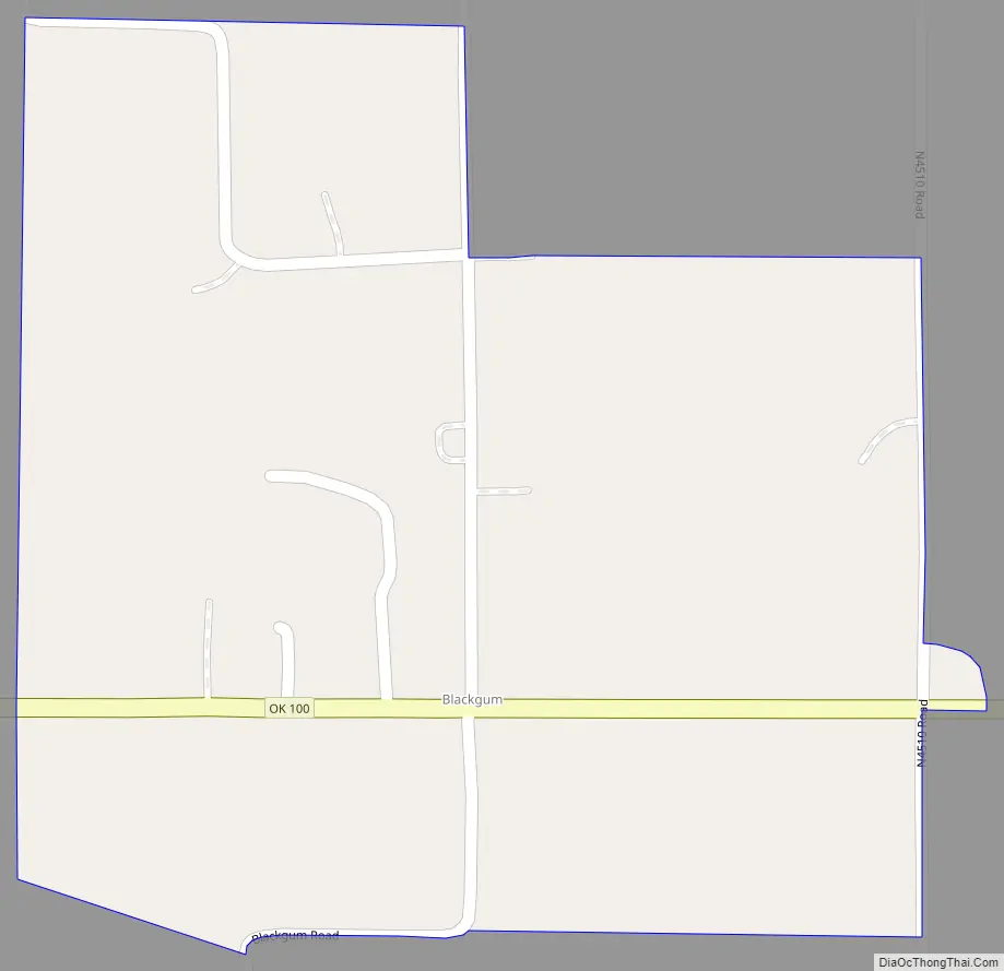
Blackgum Road Map
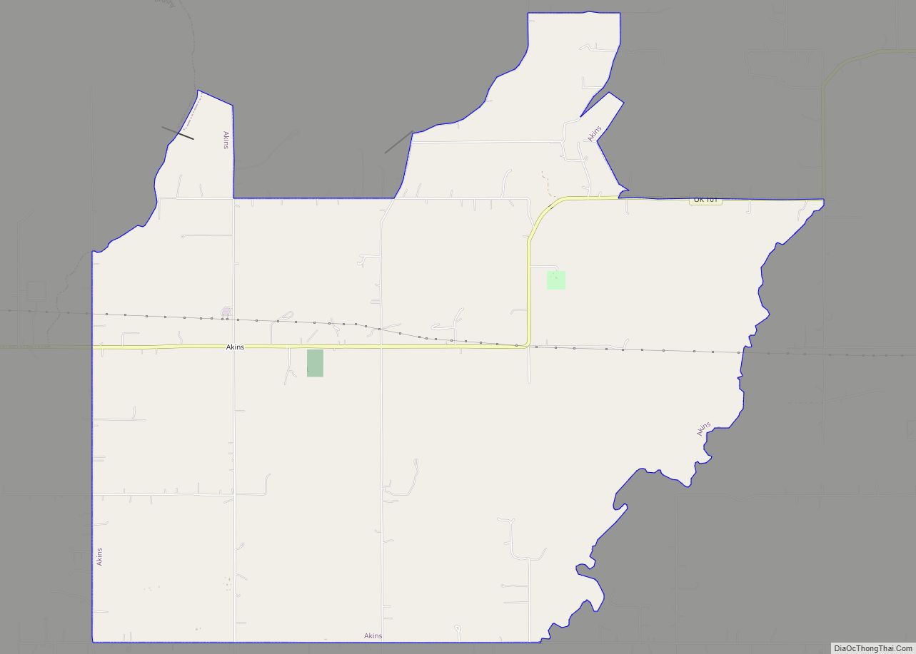
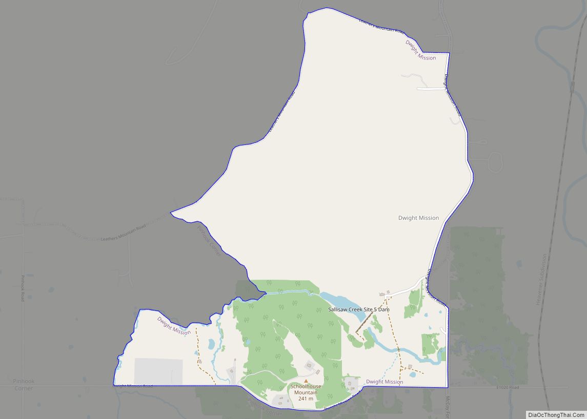
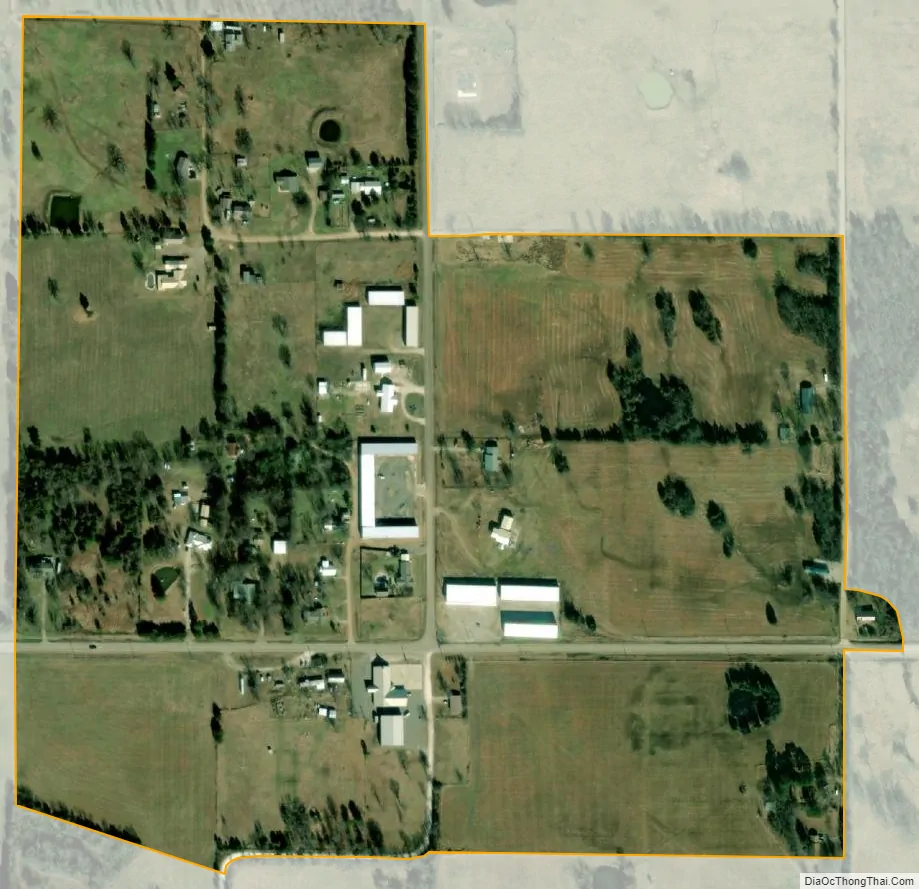
Blackgum city Satellite Map
Geography
According to the U.S. Census Bureau, the community has an area of 0.219 square miles (0.57 km); 0.218 square miles (0.56 km) of its area is land, and 0.001 square miles (0.0026 km) is water.
See also
Map of Oklahoma State and its subdivision:- Adair
- Alfalfa
- Atoka
- Beaver
- Beckham
- Blaine
- Bryan
- Caddo
- Canadian
- Carter
- Cherokee
- Choctaw
- Cimarron
- Cleveland
- Coal
- Comanche
- Cotton
- Craig
- Creek
- Custer
- Delaware
- Dewey
- Ellis
- Garfield
- Garvin
- Grady
- Grant
- Greer
- Harmon
- Harper
- Haskell
- Hughes
- Jackson
- Jefferson
- Johnston
- Kay
- Kingfisher
- Kiowa
- Latimer
- Le Flore
- Lincoln
- Logan
- Love
- Major
- Marshall
- Mayes
- McClain
- McCurtain
- McIntosh
- Murray
- Muskogee
- Noble
- Nowata
- Okfuskee
- Oklahoma
- Okmulgee
- Osage
- Ottawa
- Pawnee
- Payne
- Pittsburg
- Pontotoc
- Pottawatomie
- Pushmataha
- Roger Mills
- Rogers
- Seminole
- Sequoyah
- Stephens
- Texas
- Tillman
- Tulsa
- Wagoner
- Washington
- Washita
- Woods
- Woodward
- Alabama
- Alaska
- Arizona
- Arkansas
- California
- Colorado
- Connecticut
- Delaware
- District of Columbia
- Florida
- Georgia
- Hawaii
- Idaho
- Illinois
- Indiana
- Iowa
- Kansas
- Kentucky
- Louisiana
- Maine
- Maryland
- Massachusetts
- Michigan
- Minnesota
- Mississippi
- Missouri
- Montana
- Nebraska
- Nevada
- New Hampshire
- New Jersey
- New Mexico
- New York
- North Carolina
- North Dakota
- Ohio
- Oklahoma
- Oregon
- Pennsylvania
- Rhode Island
- South Carolina
- South Dakota
- Tennessee
- Texas
- Utah
- Vermont
- Virginia
- Washington
- West Virginia
- Wisconsin
- Wyoming