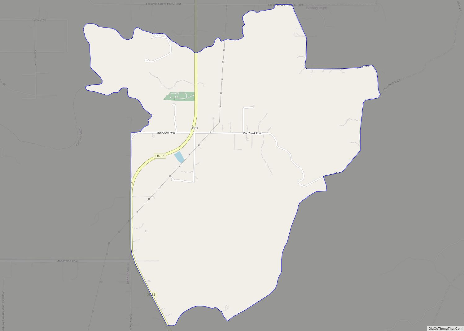
Box is an unincorporated community and census-designated place in Sequoyah County, Oklahoma, United States. Its population was 224 as of the 2010 census. Oklahoma State Highway 82 passes through the community.
Box was previously known as Roy; its post office changed its name to Box on July 7, 1911, after resident Henry Box. The post office closed on February 29, 1928.
| Name: | Box CDP |
|---|---|
| LSAD Code: | 57 |
| LSAD Description: | CDP (suffix) |
| State: | Oklahoma |
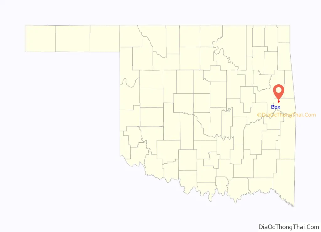
| County: | Sequoyah County |
| Elevation: | 919 ft (280 m) |
| Total Area: | 3.30 sq mi (8.56 km²) |
| Land Area: | 3.29 sq mi (8.52 km²) |
| Water Area: | 0.01 sq mi (0.04 km²) |
| Total Population: | 153 |
| Population Density: | 46.50/sq mi (17.96/km²) |
| Area code: | 918 & 539 |
| FIPS code: | 4008050 |
| GNISfeature ID: | 1100229 |
Online Interactive Map
Click on ![]() to view map in "full screen" mode.
to view map in "full screen" mode.
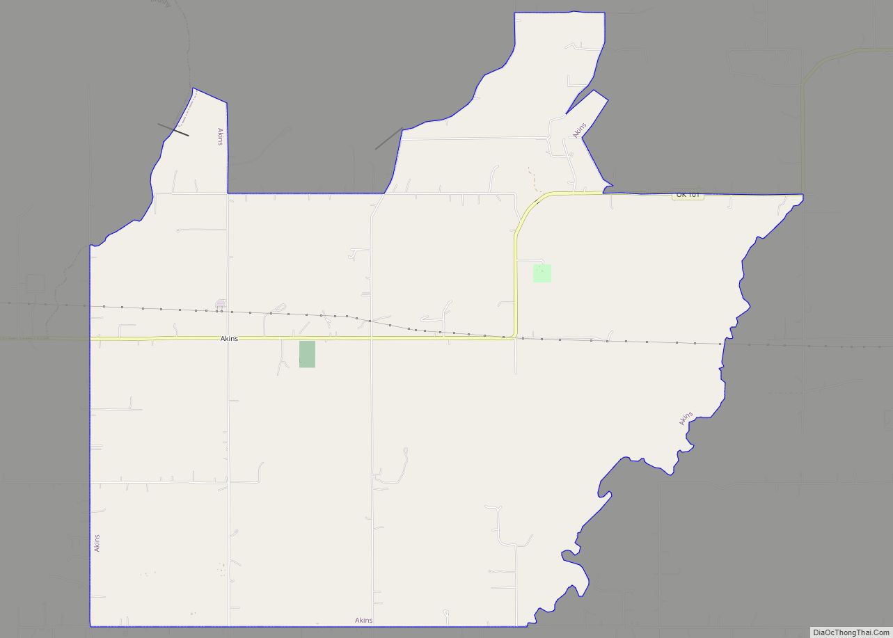
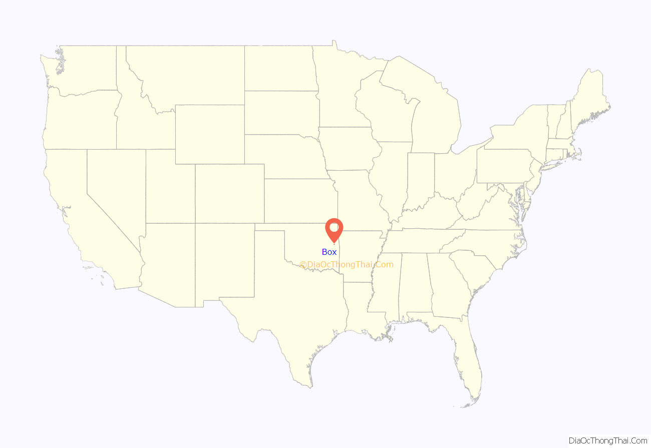
Box location map. Where is Box CDP?
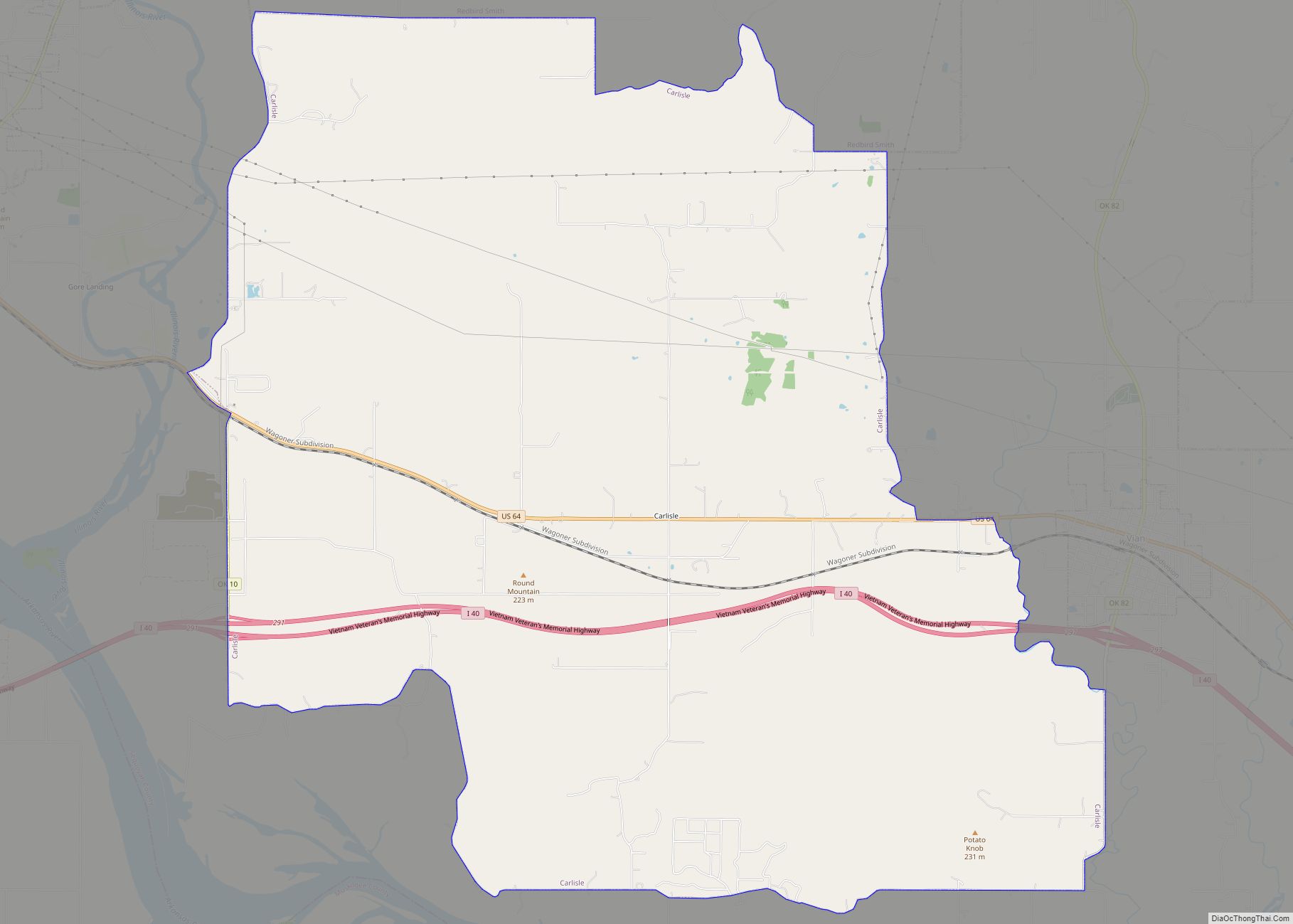
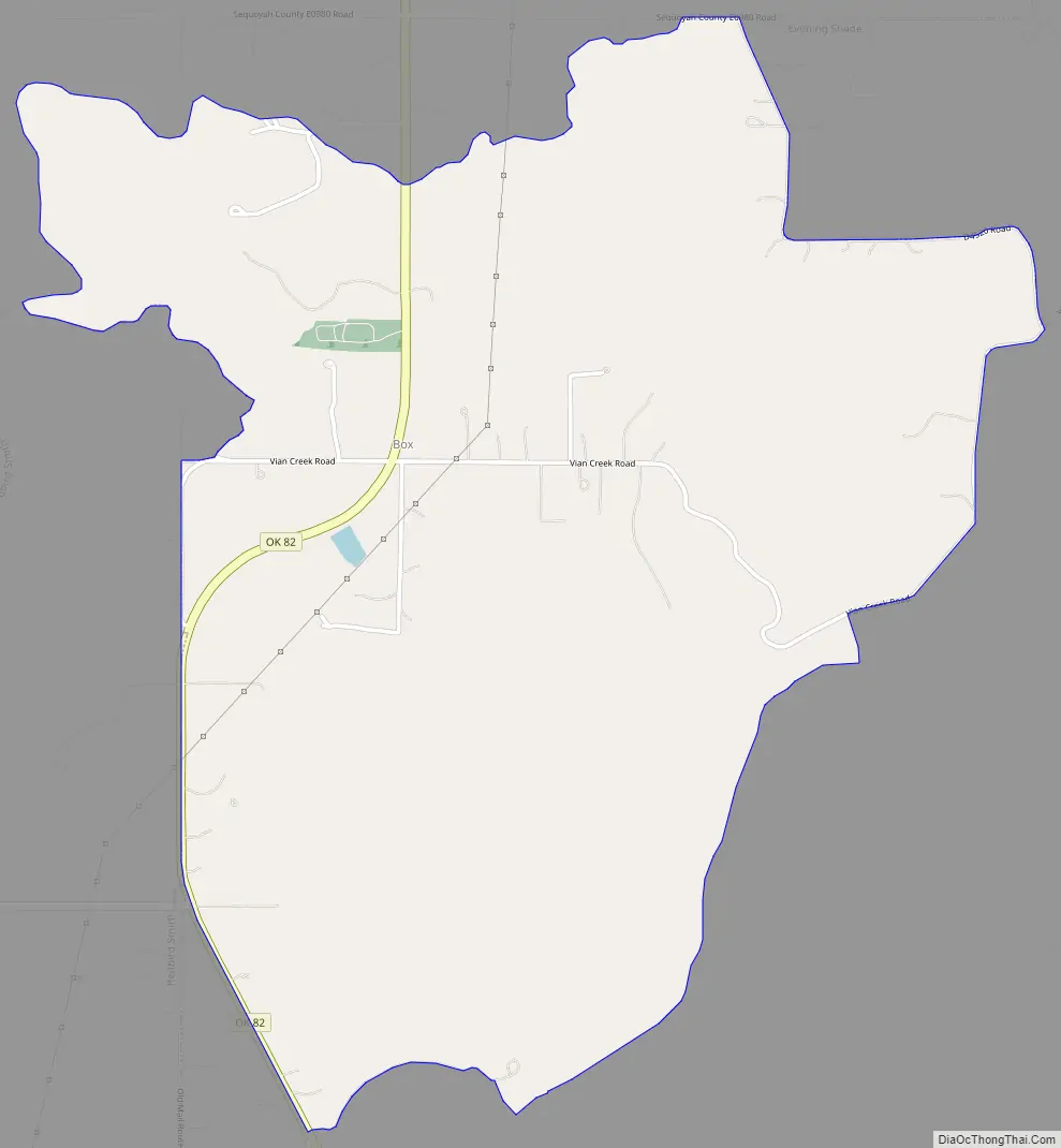
Box Road Map
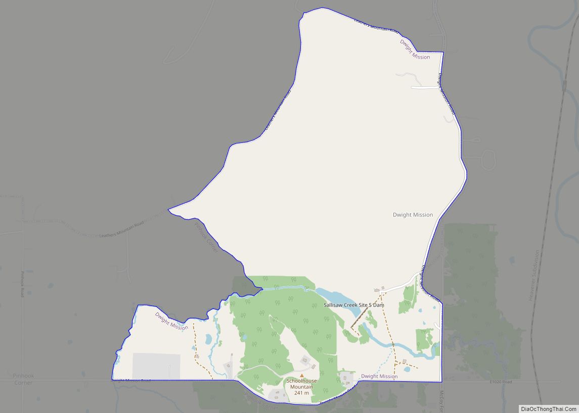
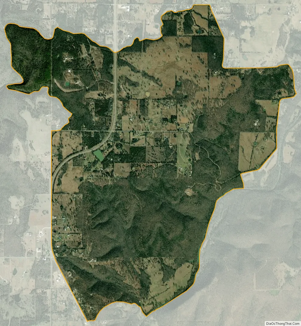
Box city Satellite Map
Geography
According to the U.S. Census Bureau, the community has an area of 3.304 square miles (8.56 km); 3.290 square miles (8.52 km) of its area is land, and 0.014 square miles (0.036 km) is water.
See also
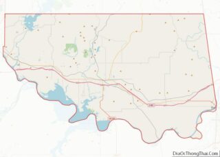
Map of Oklahoma State and its subdivision:- Adair
- Alfalfa
- Atoka
- Beaver
- Beckham
- Blaine
- Bryan
- Caddo
- Canadian
- Carter
- Cherokee
- Choctaw
- Cimarron
- Cleveland
- Coal
- Comanche
- Cotton
- Craig
- Creek
- Custer
- Delaware
- Dewey
- Ellis
- Garfield
- Garvin
- Grady
- Grant
- Greer
- Harmon
- Harper
- Haskell
- Hughes
- Jackson
- Jefferson
- Johnston
- Kay
- Kingfisher
- Kiowa
- Latimer
- Le Flore
- Lincoln
- Logan
- Love
- Major
- Marshall
- Mayes
- McClain
- McCurtain
- McIntosh
- Murray
- Muskogee
- Noble
- Nowata
- Okfuskee
- Oklahoma
- Okmulgee
- Osage
- Ottawa
- Pawnee
- Payne
- Pittsburg
- Pontotoc
- Pottawatomie
- Pushmataha
- Roger Mills
- Rogers
- Seminole
- Sequoyah
- Stephens
- Texas
- Tillman
- Tulsa
- Wagoner
- Washington
- Washita
- Woods
- Woodward
- Alabama
- Alaska
- Arizona
- Arkansas
- California
- Colorado
- Connecticut
- Delaware
- District of Columbia
- Florida
- Georgia
- Hawaii
- Idaho
- Illinois
- Indiana
- Iowa
- Kansas
- Kentucky
- Louisiana
- Maine
- Maryland
- Massachusetts
- Michigan
- Minnesota
- Mississippi
- Missouri
- Montana
- Nebraska
- Nevada
- New Hampshire
- New Jersey
- New Mexico
- New York
- North Carolina
- North Dakota
- Ohio
- Oklahoma
- Oregon
- Pennsylvania
- Rhode Island
- South Carolina
- South Dakota
- Tennessee
- Texas
- Utah
- Vermont
- Virginia
- Washington
- West Virginia
- Wisconsin
- Wyoming