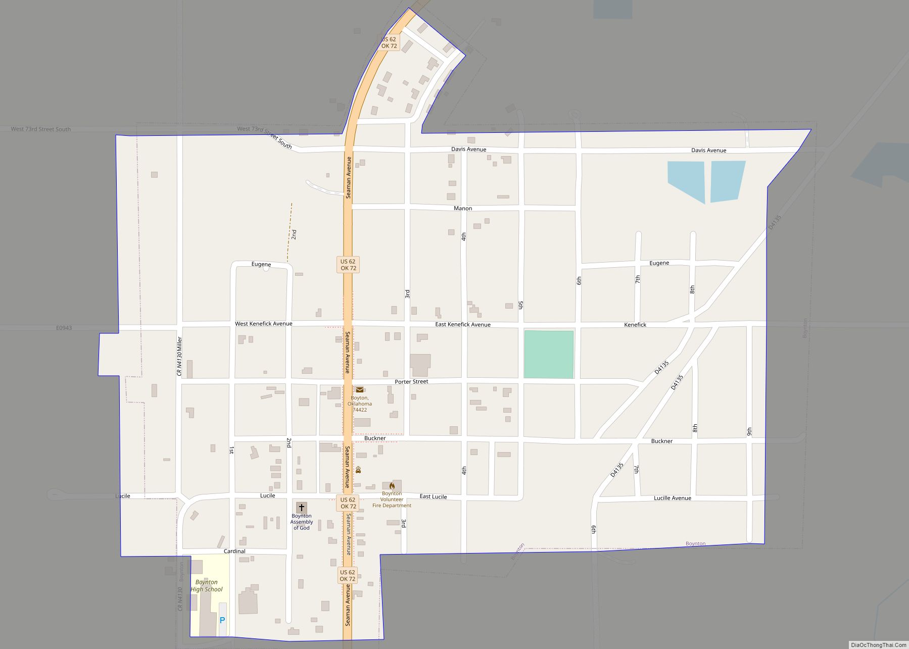
Boynton is a town in Muskogee County, Oklahoma, United States. The population was 248 at the 2010 census, a 9.5 percent decline from the figure of 274 recorded in 2000.
| Name: | Boynton town |
|---|---|
| LSAD Code: | 43 |
| LSAD Description: | town (suffix) |
| State: | Oklahoma |
| County: | Muskogee County |
| Elevation: | 623 ft (190 m) |
| Total Area: | 0.42 sq mi (1.10 km²) |
| Land Area: | 0.42 sq mi (1.09 km²) |
| Water Area: | 0.01 sq mi (0.01 km²) |
| Total Population: | 161 |
| Population Density: | 383.33/sq mi (147.96/km²) |
| ZIP code: | 74422 |
| Area code: | 539/918 |
| FIPS code: | 4008150 |
| GNISfeature ID: | 1090441 |
Online Interactive Map
Click on ![]() to view map in "full screen" mode.
to view map in "full screen" mode.
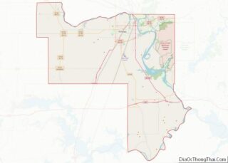
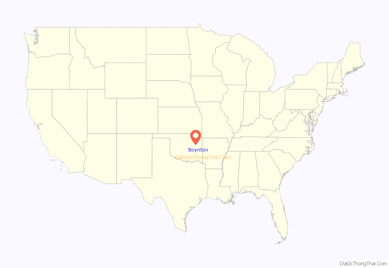
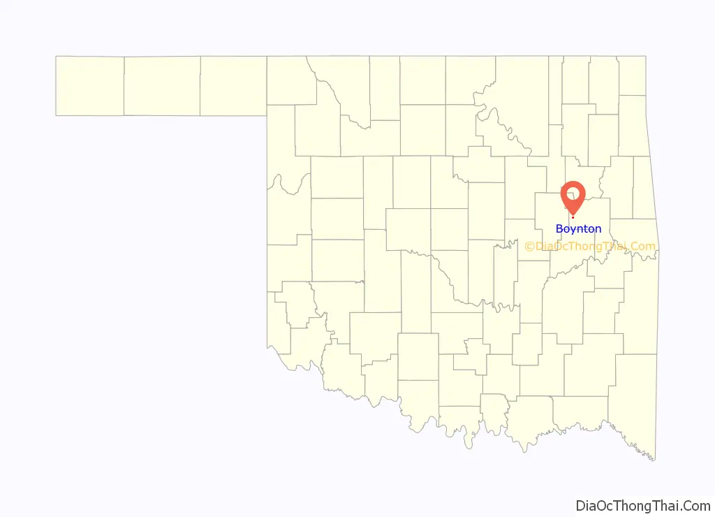
Boynton location map. Where is Boynton town?
History
Boynton was built in 1903 with the coming of the St. Louis – San Francisco Railway to the Muscogee (Creek) Nation. The post office was named for E. L. Boynton, chief engineer of the Missouri Coal and Railroad Company. Boosted by an oil refinery and a brick factory, the town reached a peak population of 1,400 in the 1920 census. By 2000 the population had declined to 274. The local school district, Boynton-Moton Public Schools, closed its high school in September 2010; in March 2011, the Oklahoma State Board of Education voted to revoke the district’s accreditation and close the lower school as of June 2011.
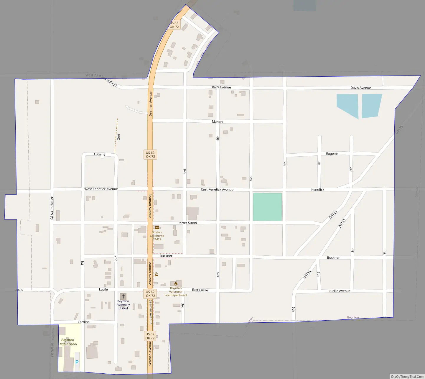
Boynton Road Map
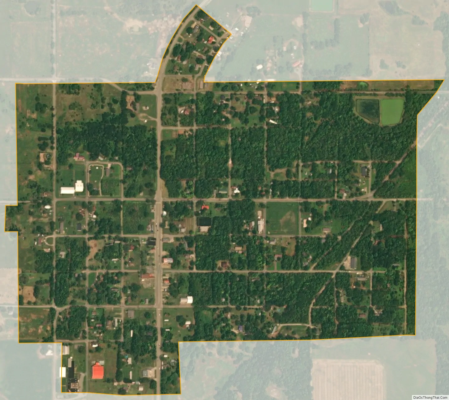
Boynton city Satellite Map
Geography
Boynton is located at 35°38′58″N 95°39′13″W / 35.64944°N 95.65361°W / 35.64944; -95.65361 (35.649404, -95.653678). It is 18 miles (29 km) from Muskogee.
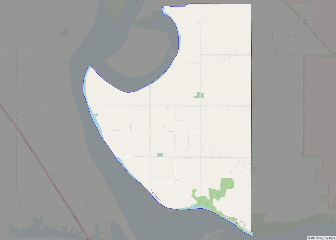
According to the United States Census Bureau, the town has a total area of 0.4 square miles (1.0 km), all land.
See also
Map of Oklahoma State and its subdivision:- Adair
- Alfalfa
- Atoka
- Beaver
- Beckham
- Blaine
- Bryan
- Caddo
- Canadian
- Carter
- Cherokee
- Choctaw
- Cimarron
- Cleveland
- Coal
- Comanche
- Cotton
- Craig
- Creek
- Custer
- Delaware
- Dewey
- Ellis
- Garfield
- Garvin
- Grady
- Grant
- Greer
- Harmon
- Harper
- Haskell
- Hughes
- Jackson
- Jefferson
- Johnston
- Kay
- Kingfisher
- Kiowa
- Latimer
- Le Flore
- Lincoln
- Logan
- Love
- Major
- Marshall
- Mayes
- McClain
- McCurtain
- McIntosh
- Murray
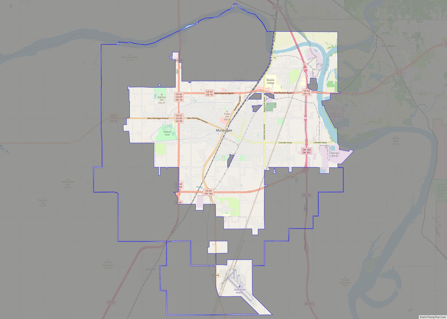
- Muskogee
- Noble
- Nowata
- Okfuskee
- Oklahoma
- Okmulgee
- Osage
- Ottawa
- Pawnee
- Payne
- Pittsburg
- Pontotoc
- Pottawatomie
- Pushmataha
- Roger Mills
- Rogers
- Seminole
- Sequoyah
- Stephens
- Texas
- Tillman
- Tulsa
- Wagoner
- Washington
- Washita
- Woods
- Woodward
- Alabama
- Alaska
- Arizona
- Arkansas
- California
- Colorado
- Connecticut
- Delaware
- District of Columbia
- Florida
- Georgia
- Hawaii
- Idaho
- Illinois
- Indiana
- Iowa
- Kansas
- Kentucky
- Louisiana
- Maine
- Maryland
- Massachusetts
- Michigan
- Minnesota
- Mississippi
- Missouri
- Montana
- Nebraska
- Nevada
- New Hampshire
- New Jersey
- New Mexico
- New York
- North Carolina
- North Dakota
- Ohio
- Oklahoma
- Oregon
- Pennsylvania
- Rhode Island
- South Carolina
- South Dakota
- Tennessee
- Texas
- Utah
- Vermont
- Virginia
- Washington
- West Virginia
- Wisconsin
- Wyoming