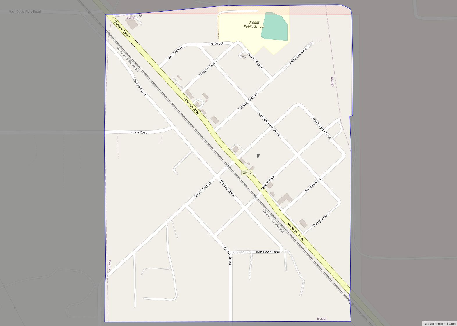
Braggs is a town in Muskogee County, Oklahoma, United States. The population was 259 as of the 2010 census, with a 14.0 percent decline from the figure of 301 recorded in 2000. The town is best known as the site of Camp Gruber, a World War II military cantonment that was the home base of the 42nd Infantry Division (Rainbow Division) and the 88th Infantry Division (Blue Devil Division).
| Name: | Braggs town |
|---|---|
| LSAD Code: | 43 |
| LSAD Description: | town (suffix) |
| State: | Oklahoma |
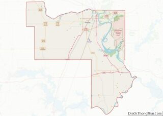
| County: | Muskogee County |
| Elevation: | 558 ft (170 m) |
| Total Area: | 0.31 sq mi (0.81 km²) |
| Land Area: | 0.31 sq mi (0.81 km²) |
| Water Area: | 0.00 sq mi (0.00 km²) |
| Total Population: | 270 |
| Population Density: | 859.87/sq mi (332.51/km²) |
| ZIP code: | 74423 |
| Area code: | 539/918 |
| FIPS code: | 4008400 |
| GNISfeature ID: | 1090449 |
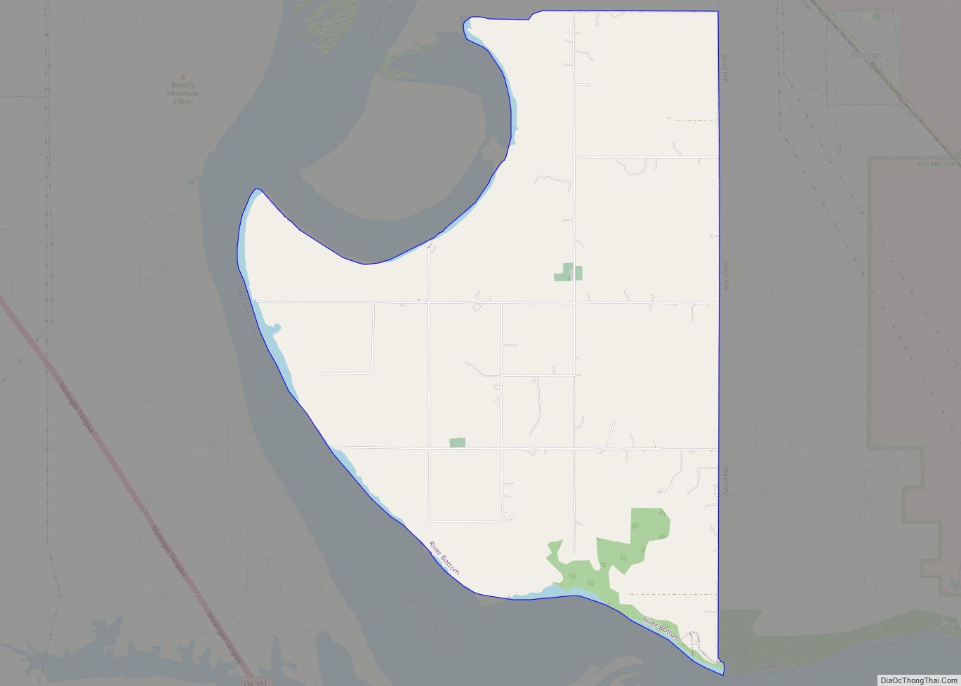
Online Interactive Map
Click on ![]() to view map in "full screen" mode.
to view map in "full screen" mode.
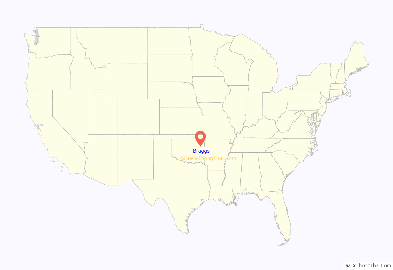
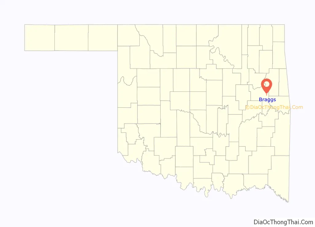
Braggs location map. Where is Braggs town?
History
This town was named Patrick, Indian Territory, on May 2, 1886, for John J. Patrick, its first postmaster. On September 10, 1888, it was renamed for a prominent landowner, Solomon Bragg. Braggs remained a small farming town through the first part of the 20th century. During its early years, the community was regularly visited by outlaws such as the Cook Gang, Cherokee Bill and Henry Starr.
In 1942, the U. S. Army created a military cantonment named Camp Gruber, just outside town. The camp cost about $30 million and brought a surge of prosperity to Braggs. The camp covered 60,000 acres (240 km) and trained thousands of new soldiers during World War II. Part of the camp was used to house captured German military men, until they were repatriated after the war. The camp was deactivated in 1947, ending the prosperity for Braggs
Camp Gruber reopened in 1977 as a training facility for reserve and active duty units. It became the home for the National Guard Air Assault School in 1987.
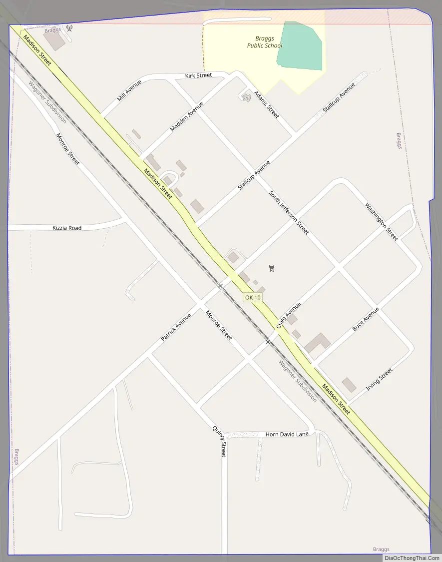
Braggs Road Map
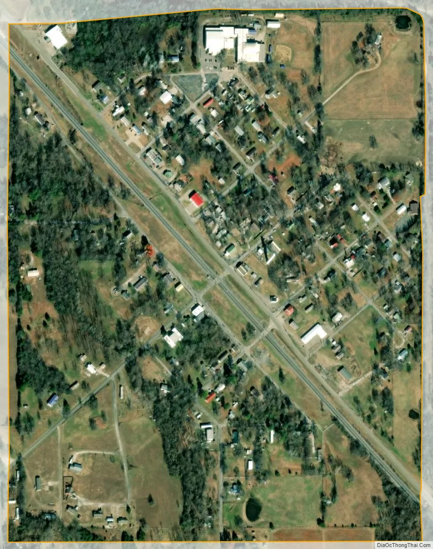
Braggs city Satellite Map
Geography
According to the United States Census Bureau, Braggs has a total area of 0.3 square miles (0.78 km), all land. Braggs is surrounded on its northeast half by Camp Gruber, an Oklahoma Army National Guard (OKARNG) training facility. Braggs is 10 miles (16 km) south of Fort Gibson.
See also
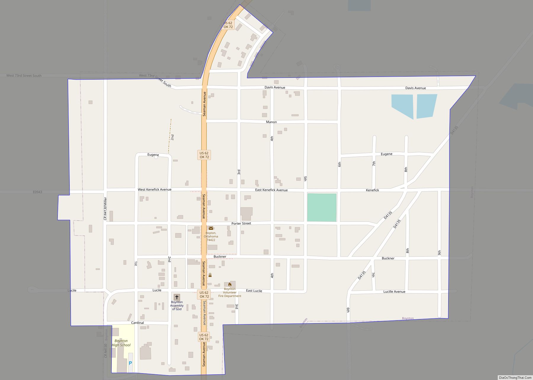
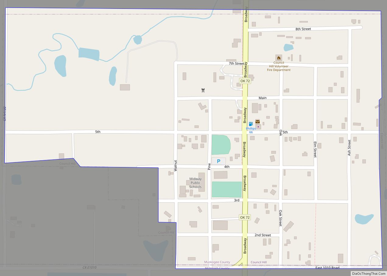
Map of Oklahoma State and its subdivision:- Adair
- Alfalfa
- Atoka
- Beaver
- Beckham
- Blaine
- Bryan
- Caddo
- Canadian
- Carter
- Cherokee
- Choctaw
- Cimarron
- Cleveland
- Coal
- Comanche
- Cotton
- Craig
- Creek
- Custer
- Delaware
- Dewey
- Ellis
- Garfield
- Garvin
- Grady
- Grant
- Greer
- Harmon
- Harper
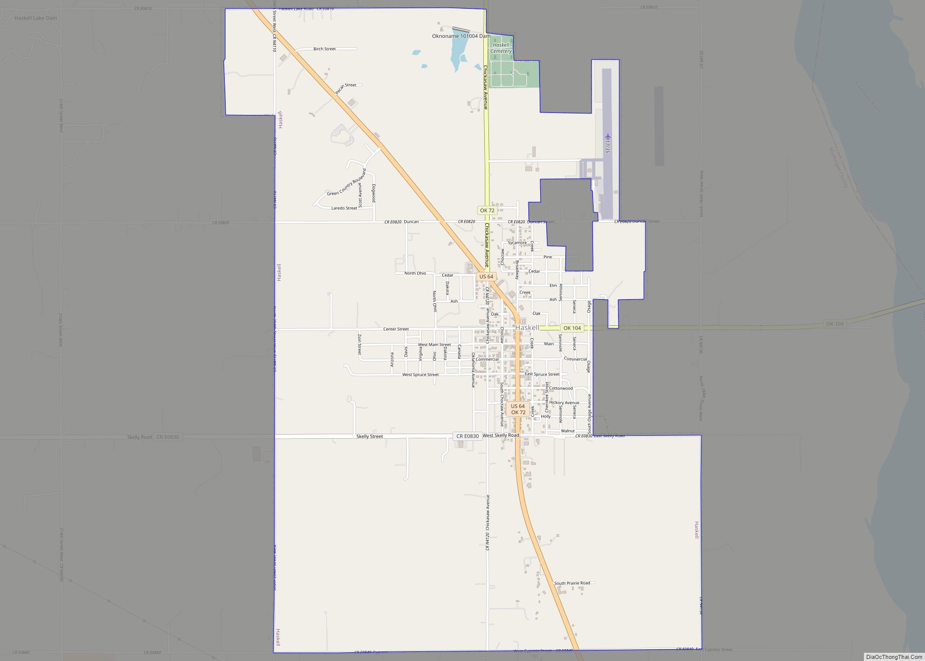
- Haskell
- Hughes
- Jackson
- Jefferson
- Johnston
- Kay
- Kingfisher
- Kiowa
- Latimer
- Le Flore
- Lincoln
- Logan
- Love
- Major
- Marshall
- Mayes
- McClain
- McCurtain
- McIntosh
- Murray
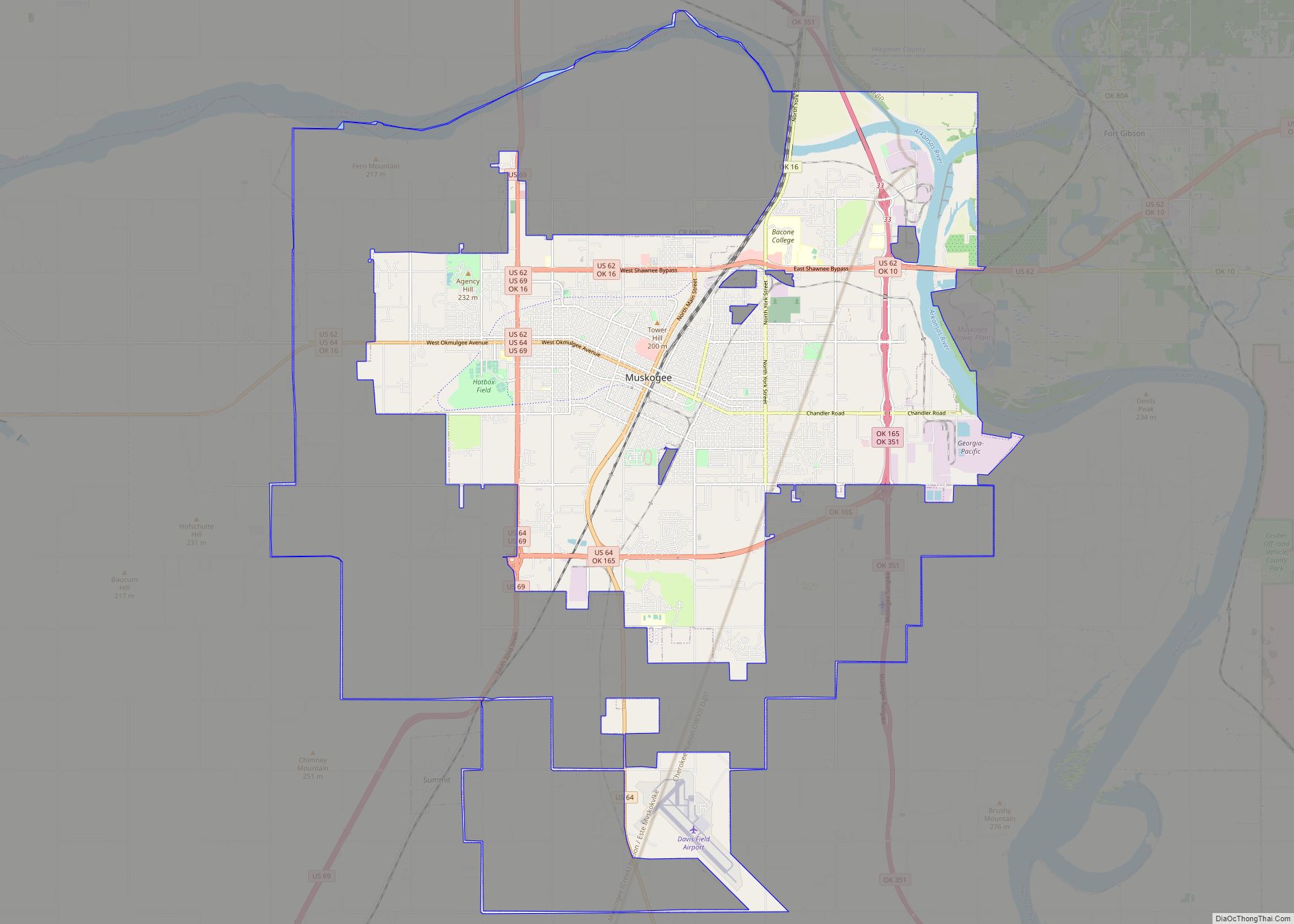
- Muskogee
- Noble
- Nowata
- Okfuskee
- Oklahoma
- Okmulgee
- Osage
- Ottawa
- Pawnee
- Payne
- Pittsburg
- Pontotoc
- Pottawatomie
- Pushmataha
- Roger Mills
- Rogers
- Seminole
- Sequoyah
- Stephens
- Texas
- Tillman
- Tulsa
- Wagoner
- Washington
- Washita
- Woods
- Woodward
- Alabama
- Alaska
- Arizona
- Arkansas
- California
- Colorado
- Connecticut
- Delaware
- District of Columbia
- Florida
- Georgia
- Hawaii
- Idaho
- Illinois
- Indiana
- Iowa
- Kansas
- Kentucky
- Louisiana
- Maine
- Maryland
- Massachusetts
- Michigan
- Minnesota
- Mississippi
- Missouri
- Montana
- Nebraska
- Nevada
- New Hampshire
- New Jersey
- New Mexico
- New York
- North Carolina
- North Dakota
- Ohio
- Oklahoma
- Oregon
- Pennsylvania
- Rhode Island
- South Carolina
- South Dakota
- Tennessee
- Texas
- Utah
- Vermont
- Virginia
- Washington
- West Virginia
- Wisconsin
- Wyoming