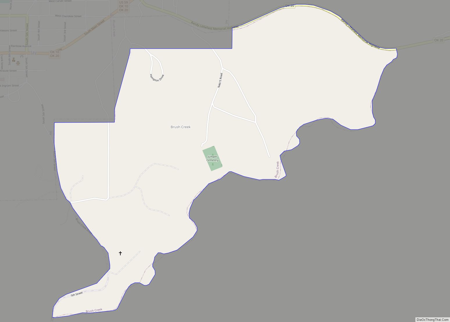
Brush Creek is an unincorporated community and census-designated place (CDP) in Delaware County, Oklahoma, United States. The population was 35 at the 2010 census.
| Name: | Brush Creek CDP |
|---|---|
| LSAD Code: | 57 |
| LSAD Description: | CDP (suffix) |
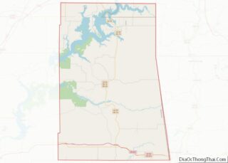
| State: | Oklahoma |
| County: | Delaware County |
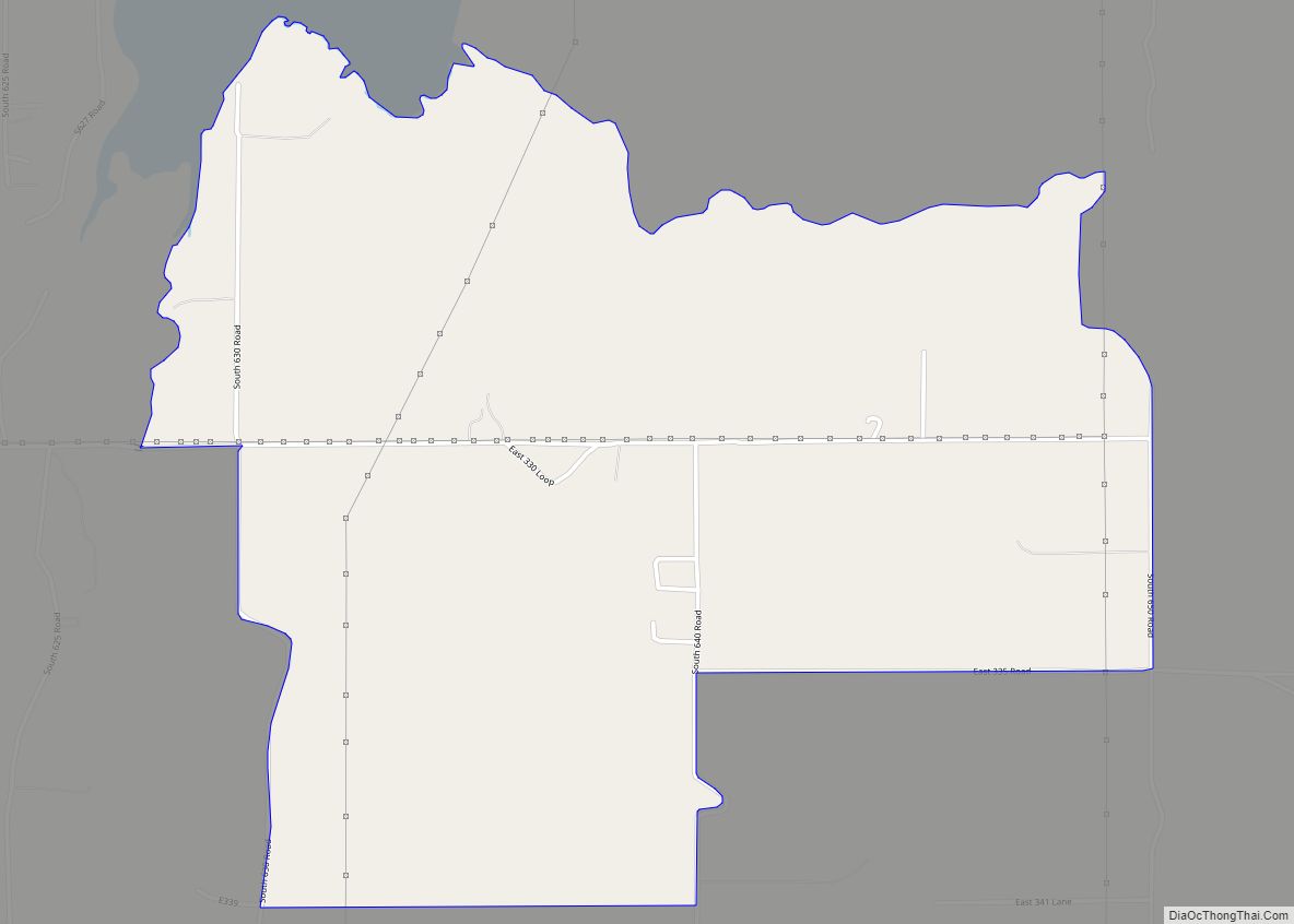
| Total Area: | 0.82 sq mi (2.12 km²) |
| Land Area: | 0.82 sq mi (2.12 km²) |
| Water Area: | 0.00 sq mi (0.00 km²) |
| Total Population: | 14 |
| Population Density: | 17.11/sq mi (6.61/km²) |
| FIPS code: | 4009612 |
| GNISfeature ID: | 1853458 |
Online Interactive Map
Click on ![]() to view map in "full screen" mode.
to view map in "full screen" mode.
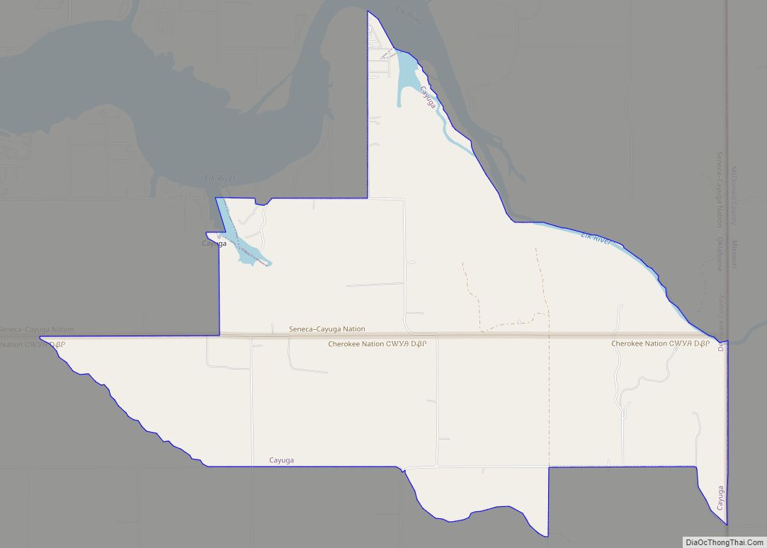
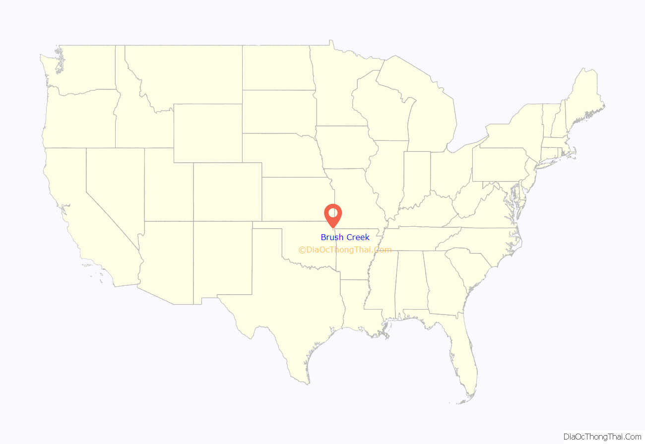
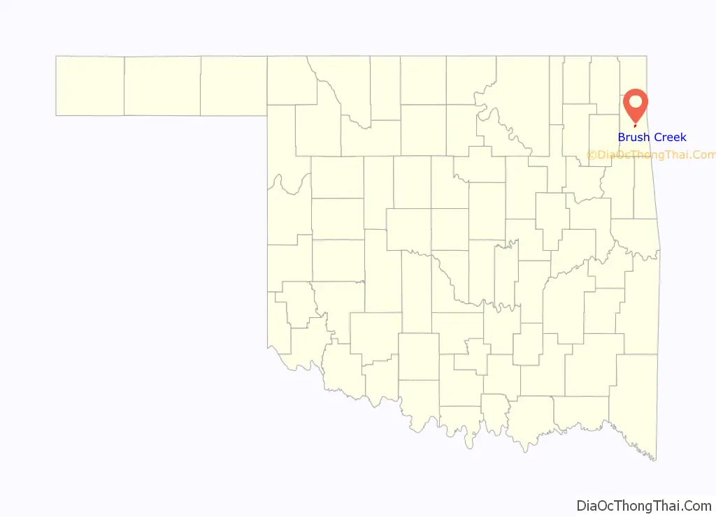
Brush Creek location map. Where is Brush Creek CDP?
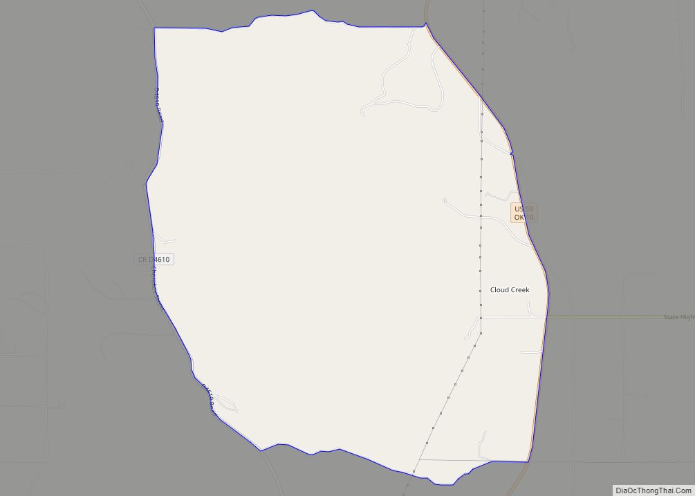
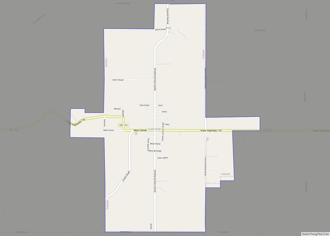
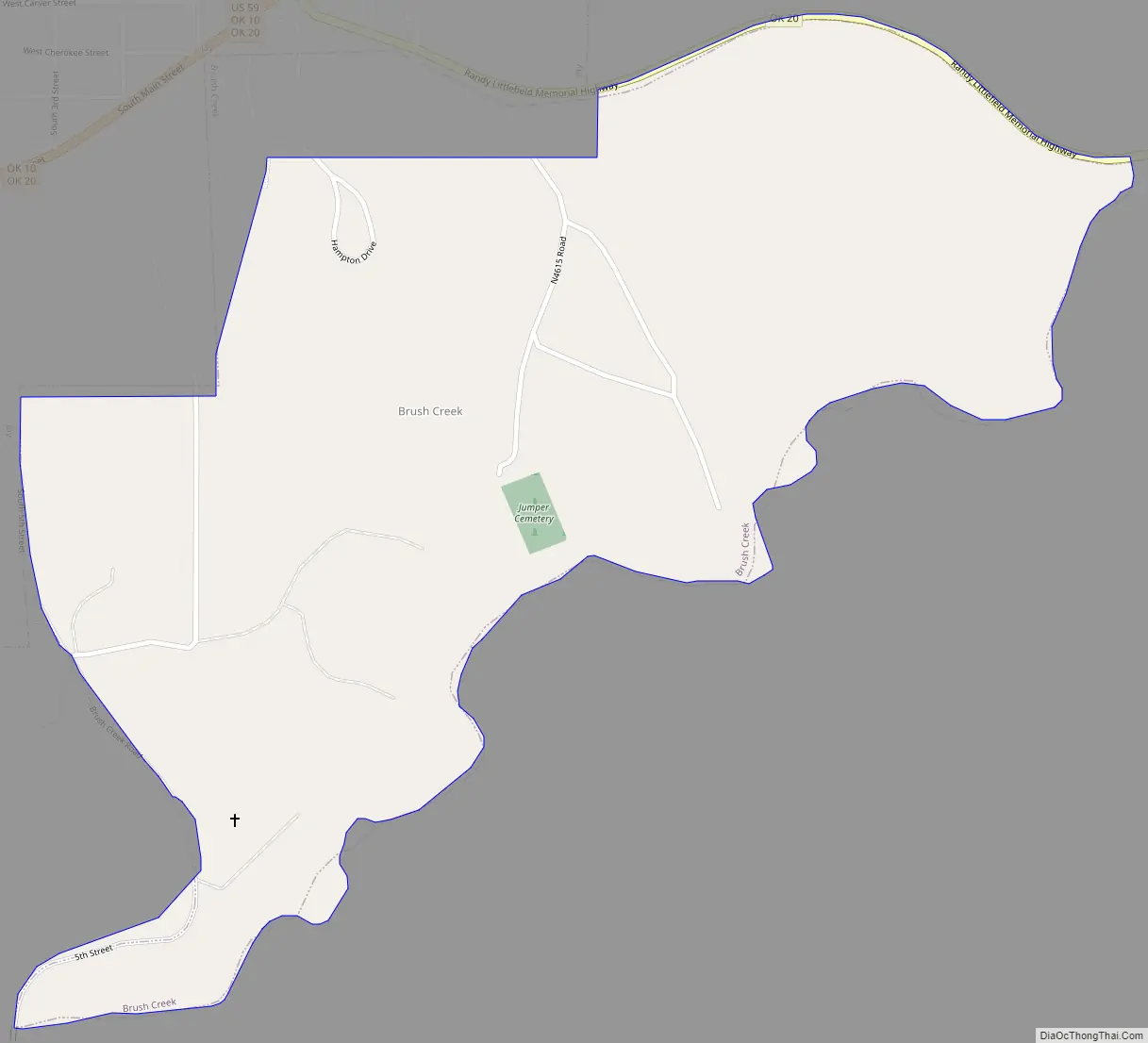
Brush Creek Road Map
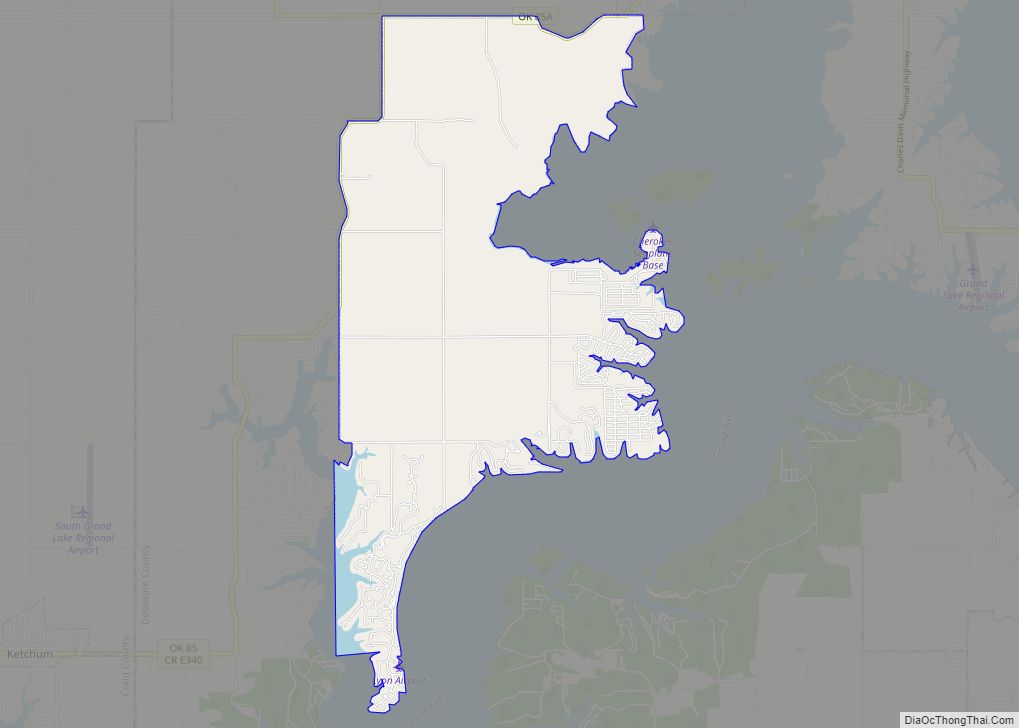
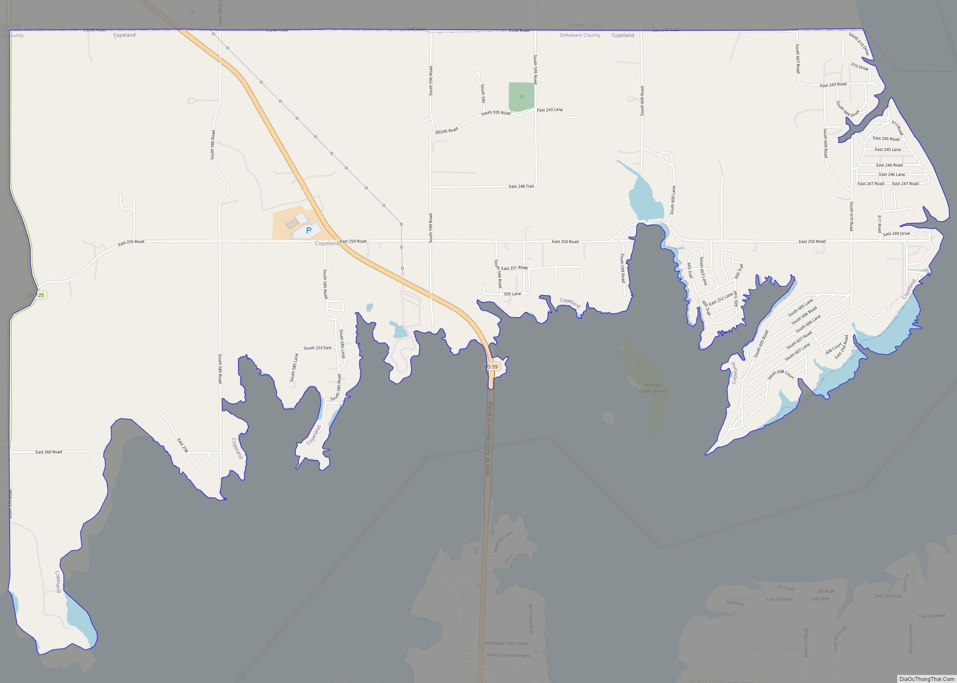
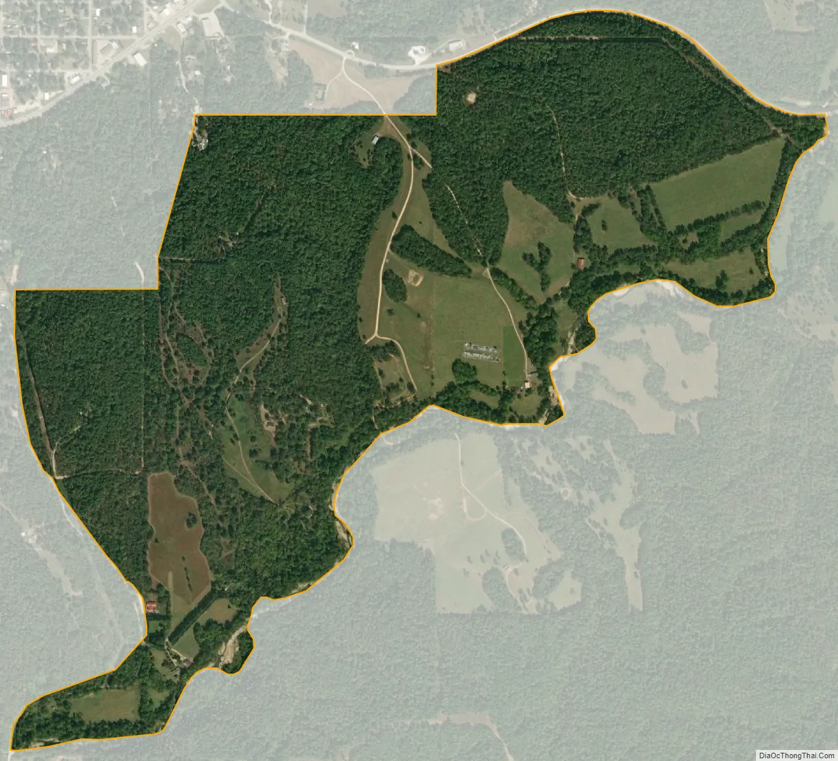
Brush Creek city Satellite Map
Geography
Brush Creek is located near the center of Delaware County at 36°25′12″N 94°47′16″W / 36.42000°N 94.78778°W / 36.42000; -94.78778 (36.420011, -94.787827). It is bordered on the northwest by the city of Jay, the county seat, on the north by Oklahoma State Highway 20, and on the south by Brush Creek, a southwest-flowing tributary of Spavinaw Creek and part of the Neosho River watershed.
According to the United States Census Bureau, the Brush Creek CDP has a total area of 0.83 square miles (2.14 km), all land.
See also
Map of Oklahoma State and its subdivision:- Adair
- Alfalfa
- Atoka
- Beaver
- Beckham
- Blaine
- Bryan
- Caddo
- Canadian
- Carter
- Cherokee
- Choctaw
- Cimarron
- Cleveland
- Coal
- Comanche
- Cotton
- Craig
- Creek
- Custer
- Delaware
- Dewey
- Ellis
- Garfield
- Garvin
- Grady
- Grant
- Greer
- Harmon
- Harper
- Haskell
- Hughes
- Jackson
- Jefferson
- Johnston
- Kay
- Kingfisher
- Kiowa
- Latimer
- Le Flore
- Lincoln
- Logan
- Love
- Major
- Marshall
- Mayes
- McClain
- McCurtain
- McIntosh
- Murray
- Muskogee
- Noble
- Nowata
- Okfuskee
- Oklahoma
- Okmulgee
- Osage
- Ottawa
- Pawnee
- Payne
- Pittsburg
- Pontotoc
- Pottawatomie
- Pushmataha
- Roger Mills
- Rogers
- Seminole
- Sequoyah
- Stephens
- Texas
- Tillman
- Tulsa
- Wagoner
- Washington
- Washita
- Woods
- Woodward
- Alabama
- Alaska
- Arizona
- Arkansas
- California
- Colorado
- Connecticut
- Delaware
- District of Columbia
- Florida
- Georgia
- Hawaii
- Idaho
- Illinois
- Indiana
- Iowa
- Kansas
- Kentucky
- Louisiana
- Maine
- Maryland
- Massachusetts
- Michigan
- Minnesota
- Mississippi
- Missouri
- Montana
- Nebraska
- Nevada
- New Hampshire
- New Jersey
- New Mexico
- New York
- North Carolina
- North Dakota
- Ohio
- Oklahoma
- Oregon
- Pennsylvania
- Rhode Island
- South Carolina
- South Dakota
- Tennessee
- Texas
- Utah
- Vermont
- Virginia
- Washington
- West Virginia
- Wisconsin
- Wyoming