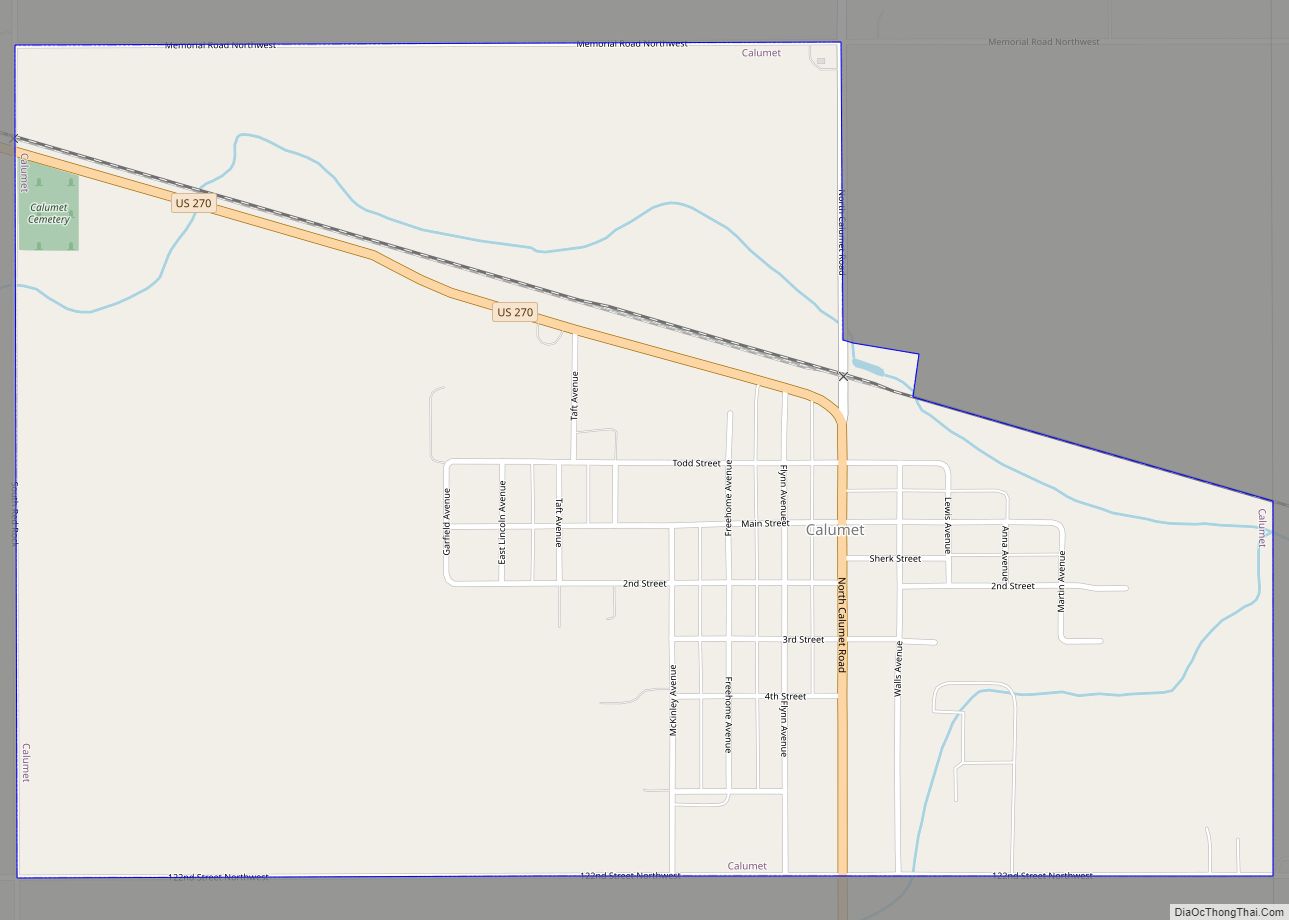
Calumet is a town in Canadian County, Oklahoma, United States. It is part of the Oklahoma City Metropolitan Area. The population was 507 at the 2010 census, a 5.23 percent decrease since 2000.
Calumet is a variant term for Ceremonial pipe. Incorporated in 1942, the town’s land was settled in the Land Run of 1892.
| Name: | Calumet town |
|---|---|
| LSAD Code: | 43 |
| LSAD Description: | town (suffix) |
| State: | Oklahoma |
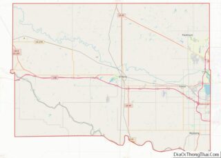
| County: | Canadian County |
| Elevation: | 1,388 ft (423 m) |
| Total Area: | 1.26 sq mi (3.27 km²) |
| Land Area: | 1.26 sq mi (3.27 km²) |
| Water Area: | 0.00 sq mi (0.00 km²) |
| Total Population: | 443 |
| Population Density: | 350.47/sq mi (135.33/km²) |
| ZIP code: | 73014 |
| Area code: | 405 |
| FIPS code: | 4011050 |
| GNISfeature ID: | 1090810 |
Online Interactive Map
Click on ![]() to view map in "full screen" mode.
to view map in "full screen" mode.
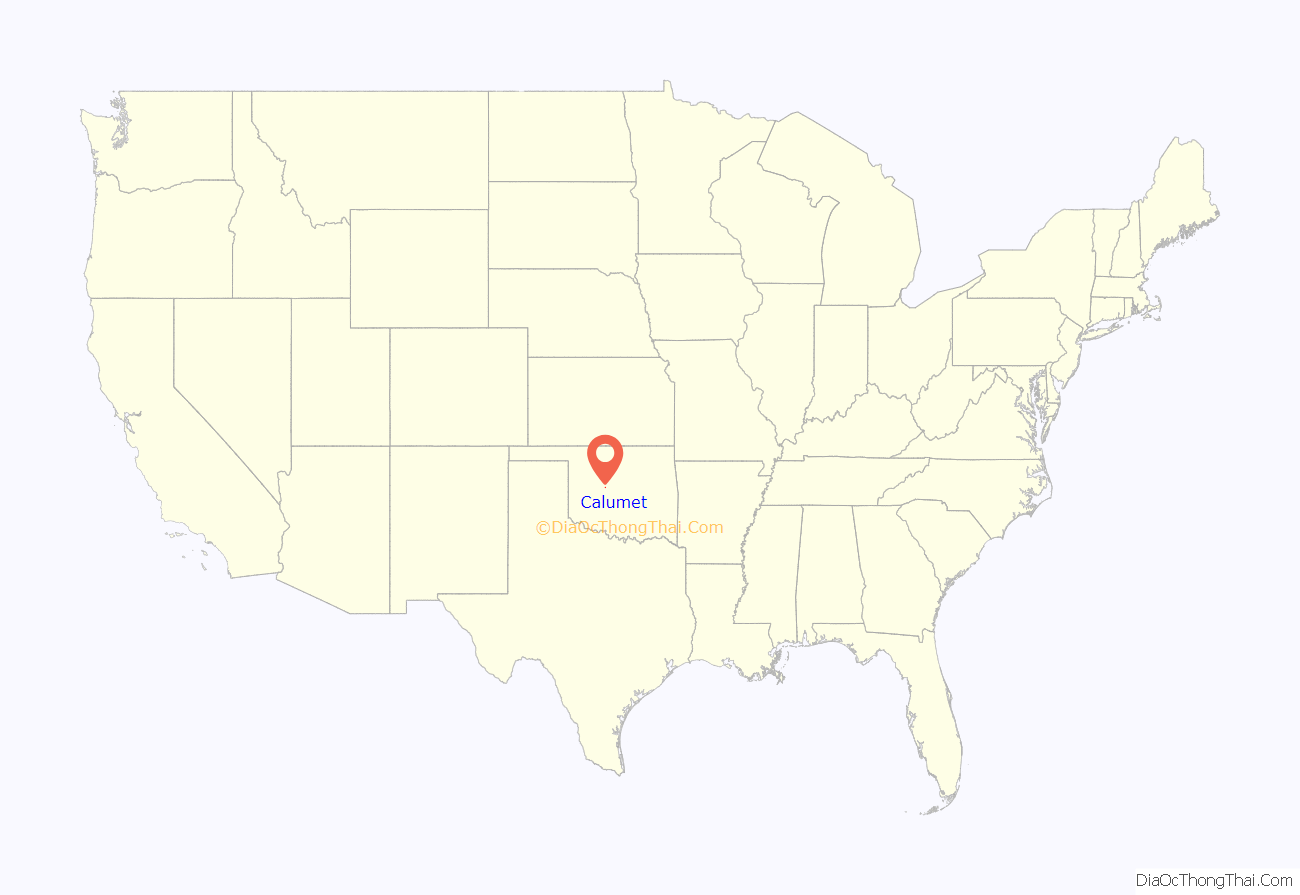
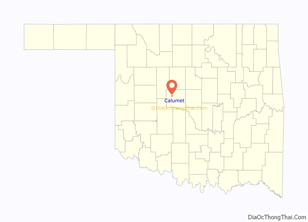
Calumet location map. Where is Calumet town?
History
Calumet incorporated in 1942 in order to construct a town water system. Prior to its incorporation, the town existed as an unincorporated community with a post office, three combination mills and elevators, two general stores, a furniture store, and a hardware store.
The town lies in an area that in 1803 was part of the Louisiana Purchase. After the Organic Act of 1890 recreated the area as Oklahoma Territory, present-day Canadian County was designated as County Four and settled by non-Indian settlers through the Land Run of 1889, the Land Run of 1892, and a 1901 land lottery. The Land Run of 1892 opened up the surplus Cheyenne-Arapaho lands to non-Indian settlement, which opened up Calumet.
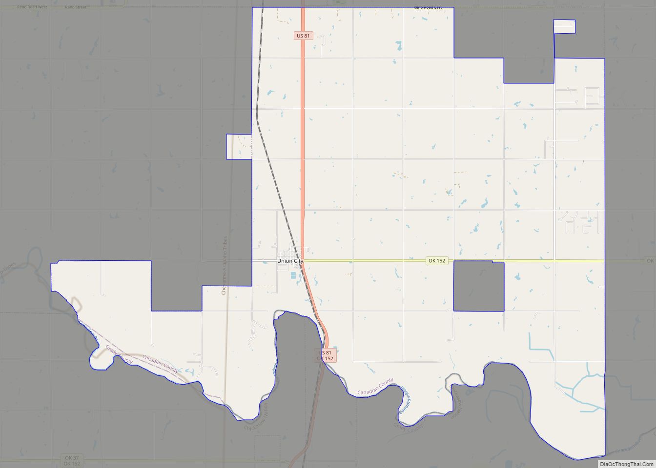
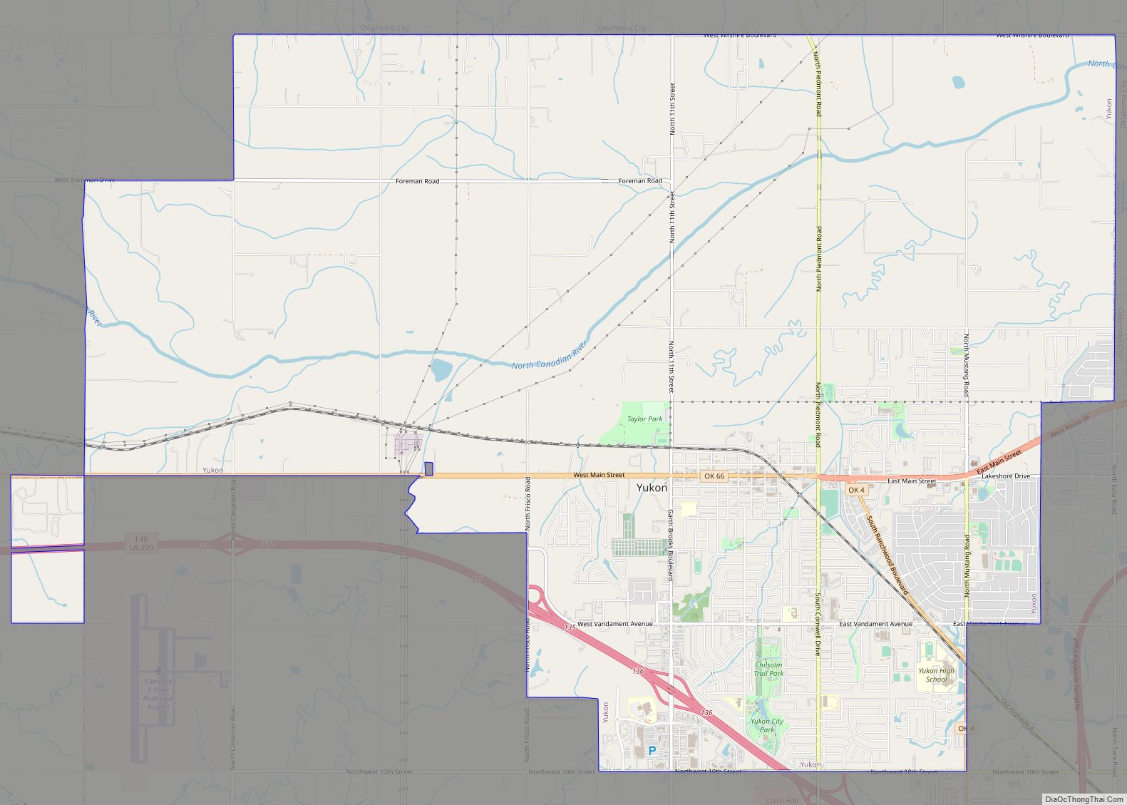
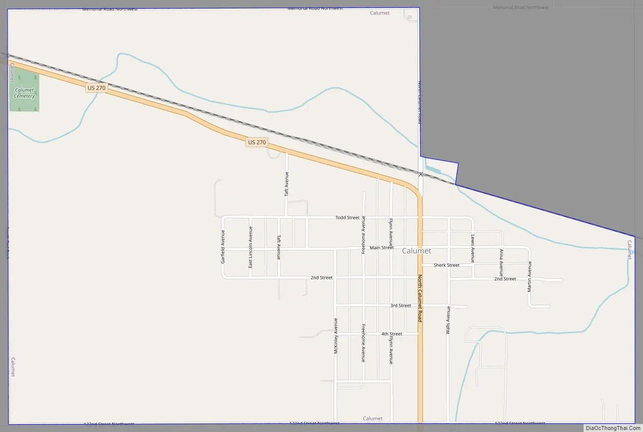
Calumet Road Map
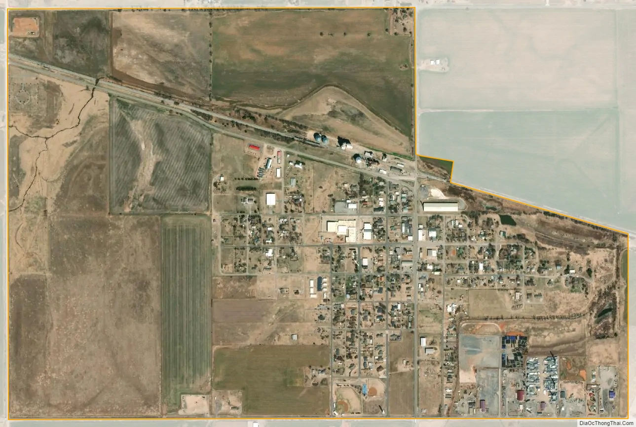
Calumet city Satellite Map
Geography
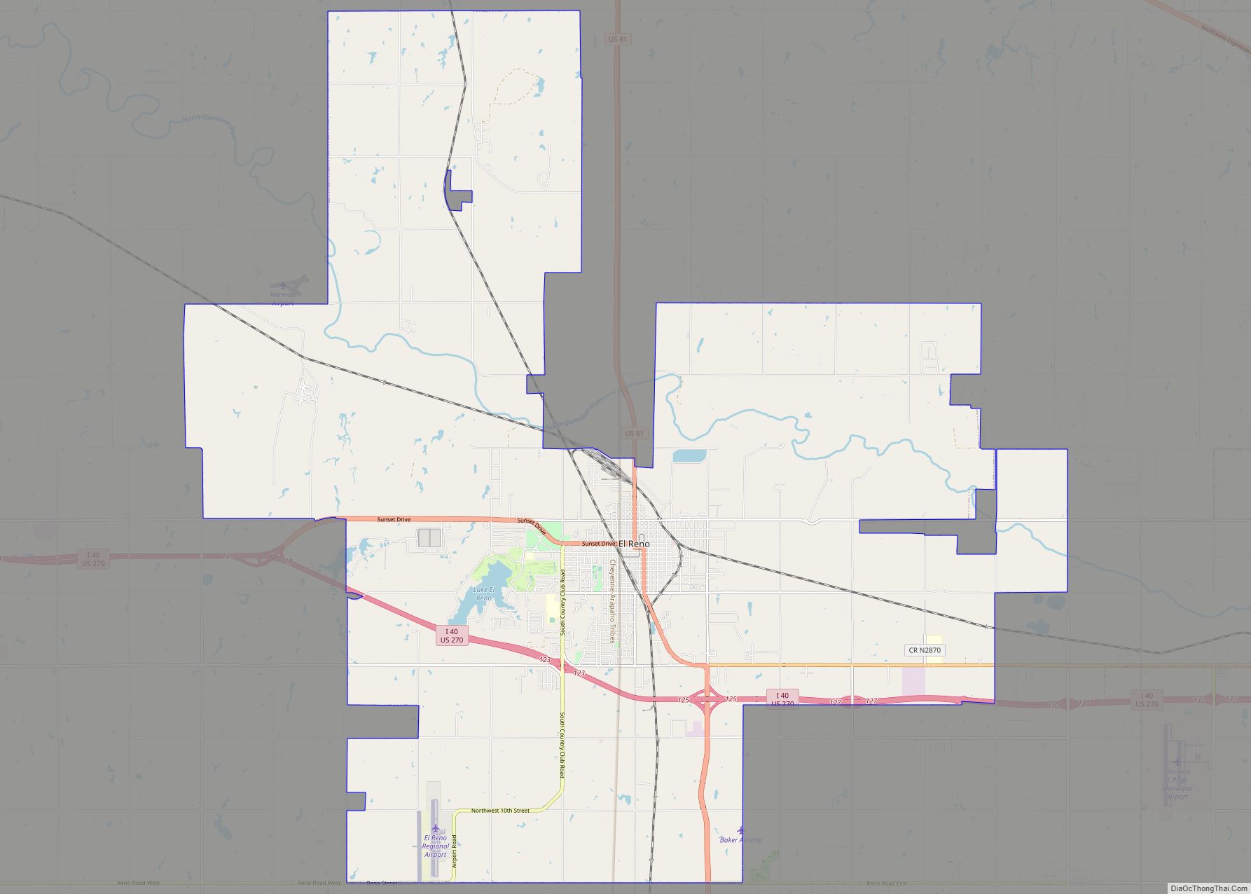
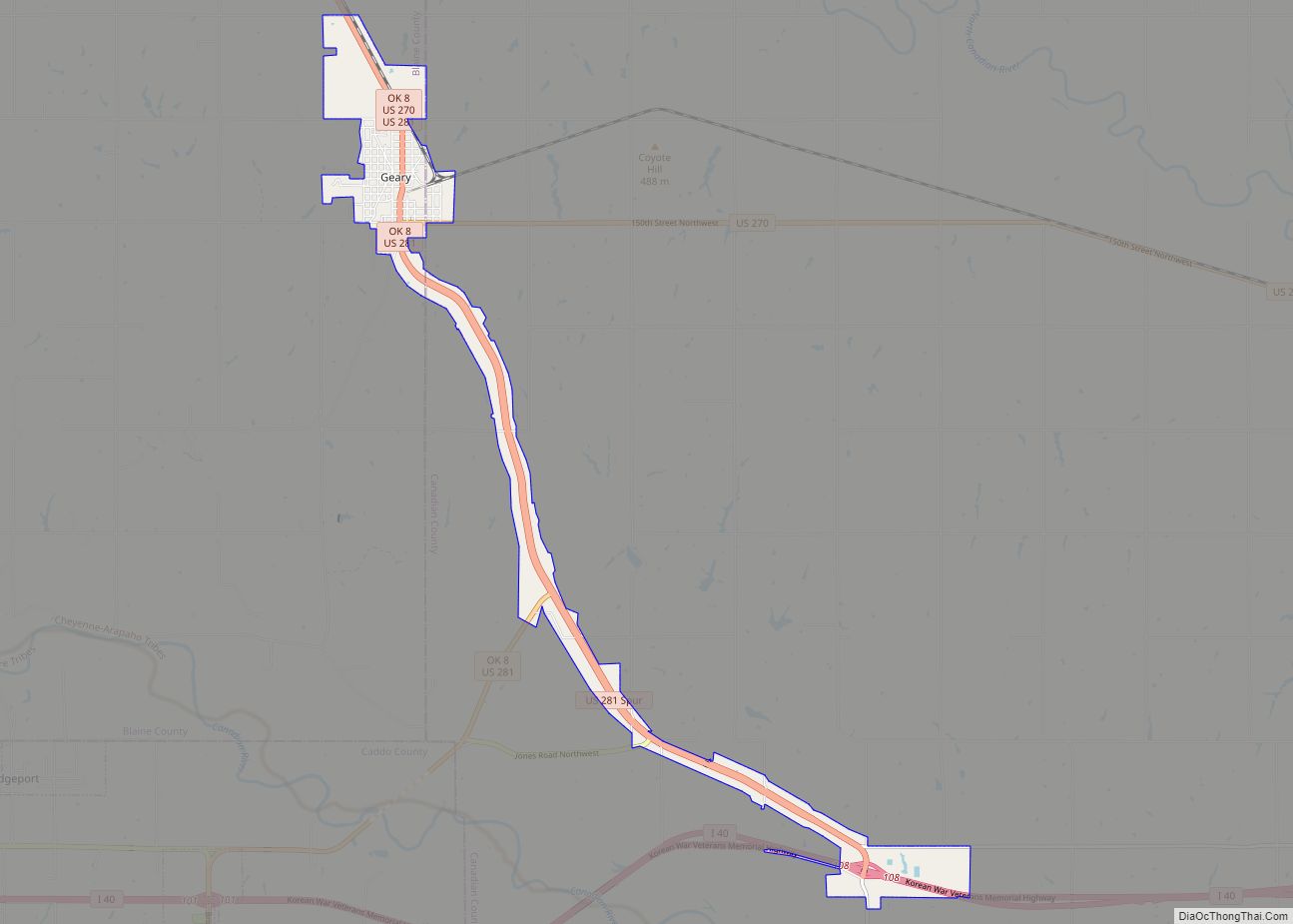
Calumet is located on US Route 270 in northwestern Canadian County, 11 miles northwest of El Reno and 11 miles east of Geary and 1.5 miles south of the North Canadian River. It is on the border of the Red Bed Plains and Gypsum Hills ecoregions of Oklahoma.
According to the United States Census Bureau, the town has a total land area of 1.3 square miles (3.4 km), all land.
Climate
See also
Map of Oklahoma State and its subdivision:- Adair
- Alfalfa
- Atoka
- Beaver
- Beckham
- Blaine
- Bryan
- Caddo
- Canadian
- Carter
- Cherokee
- Choctaw
- Cimarron
- Cleveland
- Coal
- Comanche
- Cotton
- Craig
- Creek
- Custer
- Delaware
- Dewey
- Ellis
- Garfield
- Garvin
- Grady
- Grant
- Greer
- Harmon
- Harper
- Haskell
- Hughes
- Jackson
- Jefferson
- Johnston
- Kay
- Kingfisher
- Kiowa
- Latimer
- Le Flore
- Lincoln
- Logan
- Love
- Major
- Marshall
- Mayes
- McClain
- McCurtain
- McIntosh
- Murray
- Muskogee
- Noble
- Nowata
- Okfuskee
- Oklahoma
- Okmulgee
- Osage
- Ottawa
- Pawnee
- Payne
- Pittsburg
- Pontotoc
- Pottawatomie
- Pushmataha
- Roger Mills
- Rogers
- Seminole
- Sequoyah
- Stephens
- Texas
- Tillman
- Tulsa
- Wagoner
- Washington
- Washita
- Woods
- Woodward
- Alabama
- Alaska
- Arizona
- Arkansas
- California
- Colorado
- Connecticut
- Delaware
- District of Columbia
- Florida
- Georgia
- Hawaii
- Idaho
- Illinois
- Indiana
- Iowa
- Kansas
- Kentucky
- Louisiana
- Maine
- Maryland
- Massachusetts
- Michigan
- Minnesota
- Mississippi
- Missouri
- Montana
- Nebraska
- Nevada
- New Hampshire
- New Jersey
- New Mexico
- New York
- North Carolina
- North Dakota
- Ohio
- Oklahoma
- Oregon
- Pennsylvania
- Rhode Island
- South Carolina
- South Dakota
- Tennessee
- Texas
- Utah
- Vermont
- Virginia
- Washington
- West Virginia
- Wisconsin
- Wyoming