Caney is a town in Atoka County, Oklahoma, United States. The population was 205 at the 2010 census.
| Name: | Caney town |
|---|---|
| LSAD Code: | 43 |
| LSAD Description: | town (suffix) |
| State: | Oklahoma |
| County: | Atoka County |
| Elevation: | 600 ft (183 m) |
| Total Area: | 0.76 sq mi (1.96 km²) |
| Land Area: | 0.76 sq mi (1.96 km²) |
| Water Area: | 0.00 sq mi (0.00 km²) |
| Total Population: | 185 |
| Population Density: | 244.71/sq mi (94.52/km²) |
| ZIP code: | 74533 |
| Area code: | 580 |
| FIPS code: | 4011550 |
| GNISfeature ID: | 1090906 |
Online Interactive Map
Click on ![]() to view map in "full screen" mode.
to view map in "full screen" mode.
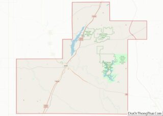
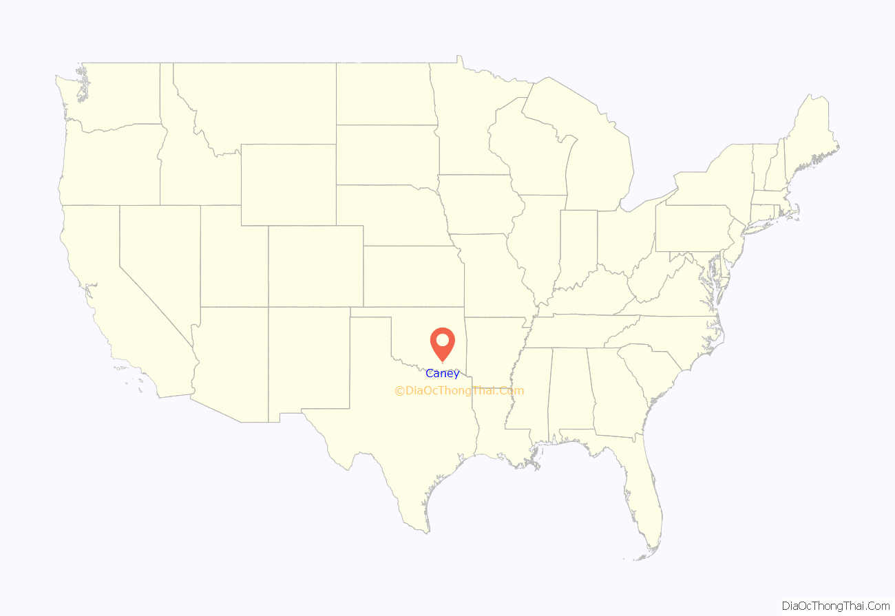
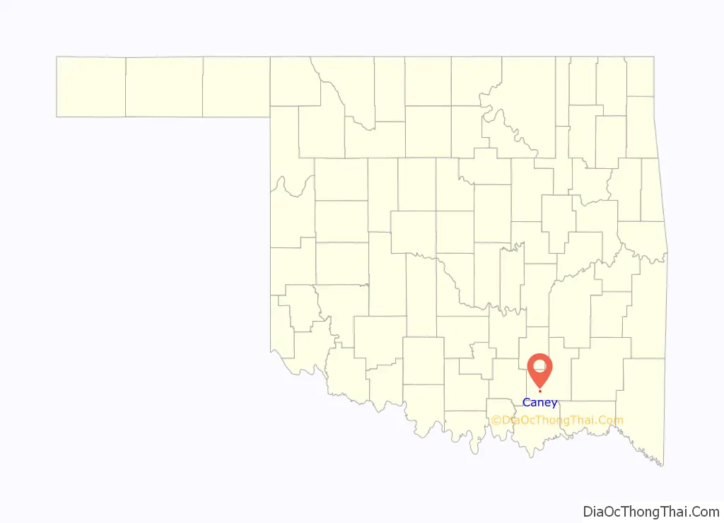
Caney location map. Where is Caney town?
History
A post office was established at Caney Switch, Indian Territory for a short time in 1879. The post office took its name from nearby Caney Creek, and referred to the cane brakes along the course of the waterway. The post office was reestablished one mile south as Caney, Indian Territory on June 20, 1888, taking its name from the former post office at Caney Switch. The communities were both station stops on the Missouri, Kansas and Texas Railroad.
At the time of their founding, the communities were located in Atoka County, Choctaw Nation, a part of the Pushmataha District.
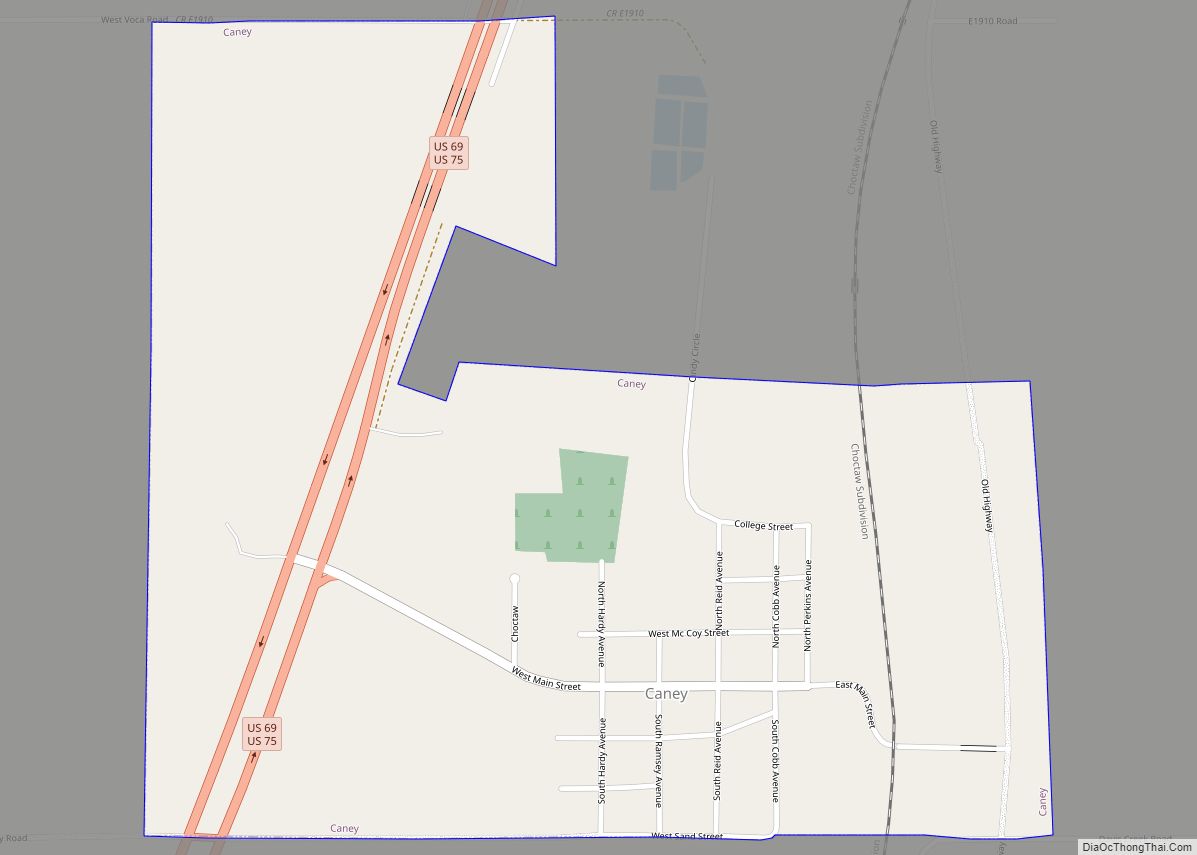
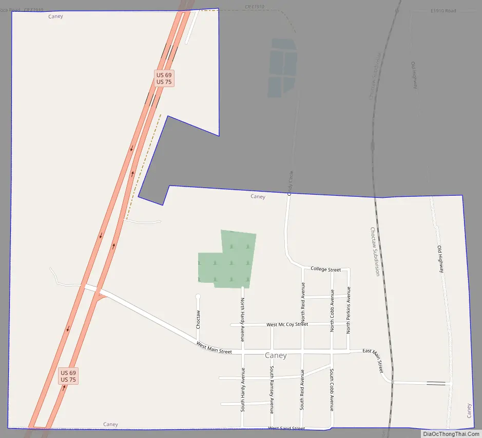
Caney Road Map
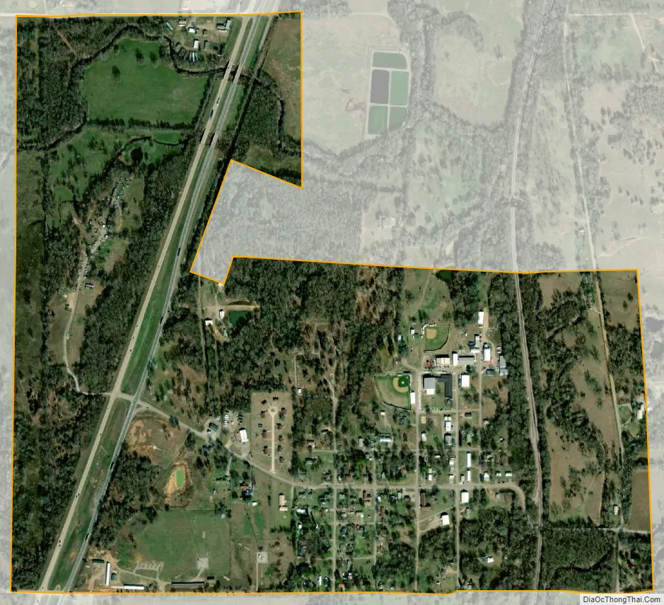
Caney city Satellite Map
Geography
Caney is located at 34°14′2″N 96°12′45″W / 34.23389°N 96.21250°W / 34.23389; -96.21250 (34.233837, -96.212375).
According to the United States Census Bureau, the town has a total area of 0.81 square miles (2.1 km), all land.
Caney is not directly served by the Oklahoma state highway system; however, U.S. Highway 69 is located just west of town.
See also
Map of Oklahoma State and its subdivision:- Adair
- Alfalfa
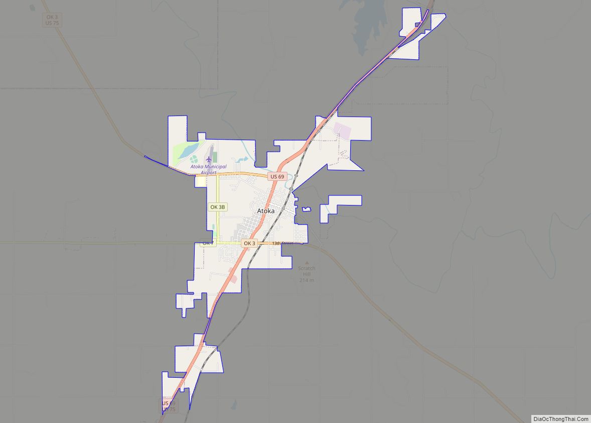
- Atoka
- Beaver
- Beckham
- Blaine
- Bryan
- Caddo
- Canadian
- Carter
- Cherokee
- Choctaw
- Cimarron
- Cleveland
- Coal
- Comanche
- Cotton
- Craig
- Creek
- Custer
- Delaware
- Dewey
- Ellis
- Garfield
- Garvin
- Grady
- Grant
- Greer
- Harmon
- Harper
- Haskell
- Hughes
- Jackson
- Jefferson
- Johnston
- Kay
- Kingfisher
- Kiowa
- Latimer
- Le Flore
- Lincoln
- Logan
- Love
- Major
- Marshall
- Mayes
- McClain
- McCurtain
- McIntosh
- Murray
- Muskogee
- Noble
- Nowata
- Okfuskee
- Oklahoma
- Okmulgee
- Osage
- Ottawa
- Pawnee
- Payne
- Pittsburg
- Pontotoc
- Pottawatomie
- Pushmataha
- Roger Mills
- Rogers
- Seminole
- Sequoyah
- Stephens
- Texas
- Tillman
- Tulsa
- Wagoner
- Washington
- Washita
- Woods
- Woodward
- Alabama
- Alaska
- Arizona
- Arkansas
- California
- Colorado
- Connecticut
- Delaware
- District of Columbia
- Florida
- Georgia
- Hawaii
- Idaho
- Illinois
- Indiana
- Iowa
- Kansas
- Kentucky
- Louisiana
- Maine
- Maryland
- Massachusetts
- Michigan
- Minnesota
- Mississippi
- Missouri
- Montana
- Nebraska
- Nevada
- New Hampshire
- New Jersey
- New Mexico
- New York
- North Carolina
- North Dakota
- Ohio
- Oklahoma
- Oregon
- Pennsylvania
- Rhode Island
- South Carolina
- South Dakota
- Tennessee
- Texas
- Utah
- Vermont
- Virginia
- Washington
- West Virginia
- Wisconsin
- Wyoming