Colcord is a town in southern Delaware County, Oklahoma, United States. The community lies in the northeastern part of the state in a region known as Green Country. The population was 815 at the 2010 census, a decline of 0.5 percent from the figure of 819 recorded in 2000.
| Name: | Colcord town |
|---|---|
| LSAD Code: | 43 |
| LSAD Description: | town (suffix) |
| State: | Oklahoma |
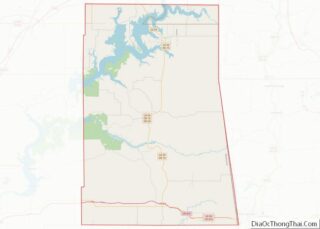
| County: | Delaware County |
| Elevation: | 1,148 ft (357 m) |
| Total Area: | 2.45 sq mi (6.35 km²) |
| Land Area: | 2.45 sq mi (6.35 km²) |
| Water Area: | 0.00 sq mi (0.00 km²) |
| Total Population: | 728 |
| Population Density: | 296.90/sq mi (114.62/km²) |
| ZIP code: | 74338 |
| Area code: | 539/918 |
| FIPS code: | 4016100 |
| GNISfeature ID: | 1091553 |
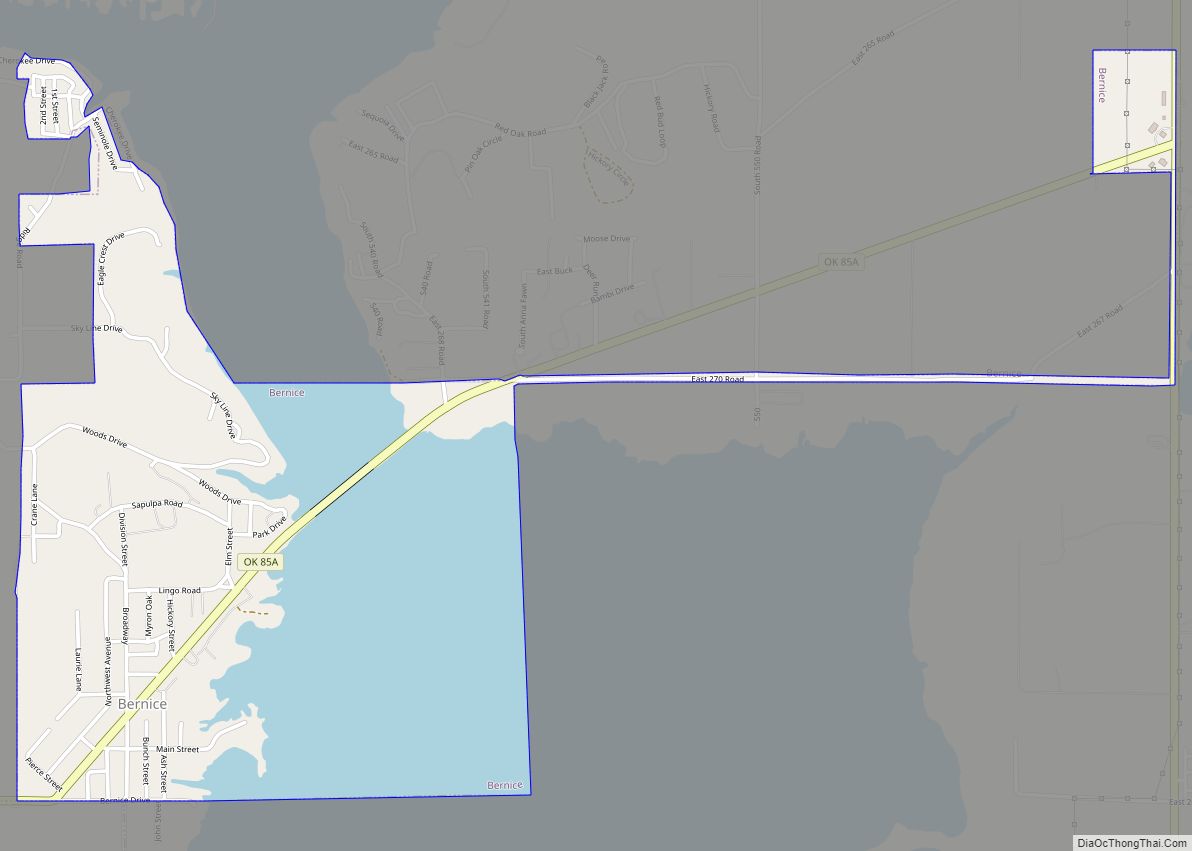
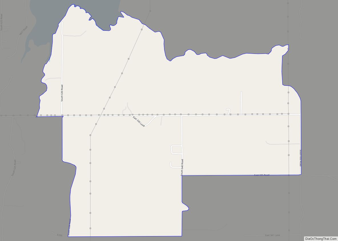
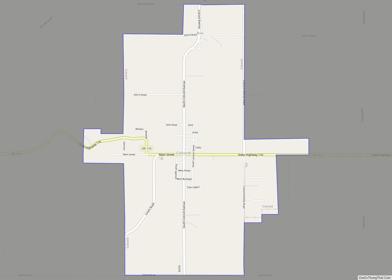
Online Interactive Map
Click on ![]() to view map in "full screen" mode.
to view map in "full screen" mode.
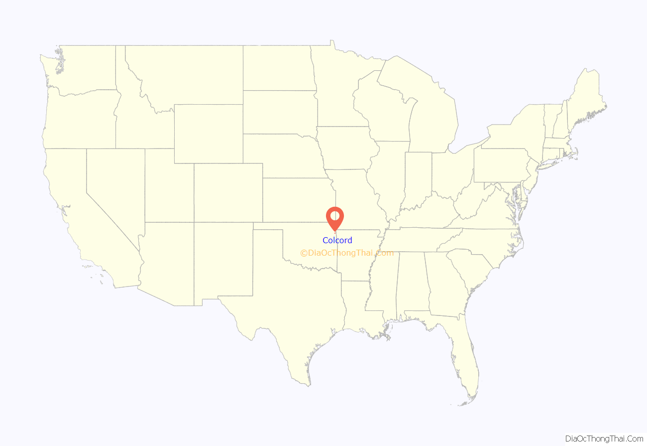
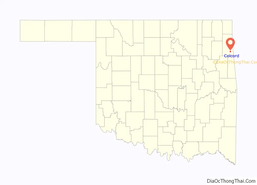
Colcord location map. Where is Colcord town?
History
Colcord’s history starts decades before the establishment of the town itself, with the community of Row, Indian Territory, in the 1890s. As settlers moved to the area, the town of Row grew and businesses formed, including a bank, a school, a hotel, and others. A Post Office was established on May 20, 1905.
In the 1920s, a road (later known as Oklahoma State Highway 116) was built that passed 1 mile (1.6 km) south of the then-healthy town of Row. A rural mail carrier, Charles Burbage, who owned land to the south where the new road was established, platted 64.8 acres (0.262 km) into blocks, lots and streets. The area grew into a community known as “Little Tulsa” to locals, until residents changed the name in September 1928 to “Colcord,” after Charles Francis Colcord. Mr. Colcord was a successful and prominent cattle rancher, oil businessman, and early Oklahoma Territory lawman from Oklahoma City, who owned a large ranch west of the two towns. The ranch employed many local residents, and was very important to the economy and spirit of the area.
Due to better transportation and a disastrous fire that wiped out many buildings in Row, most businesses moved to Colcord, and the new town was approved to build a high school. A feud between the two towns ensued, and in the first eleven years of Colcord’s existence, the school was involved in eleven lawsuits.
The community hosts “Old Settlers Day” celebration and parade on the second Saturday of June each year to honor its heritage and the many people that settled in the area and established the town.
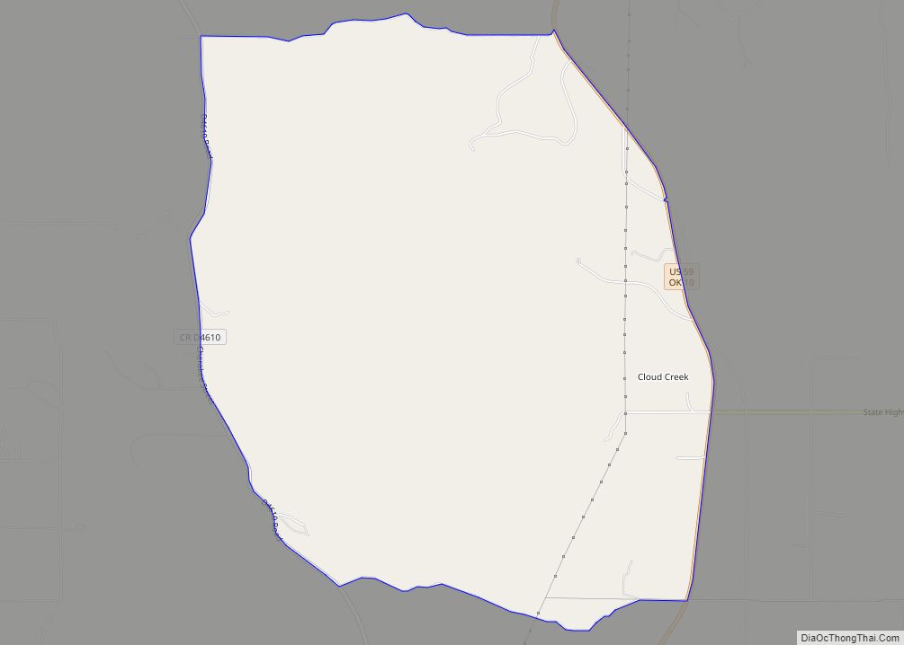
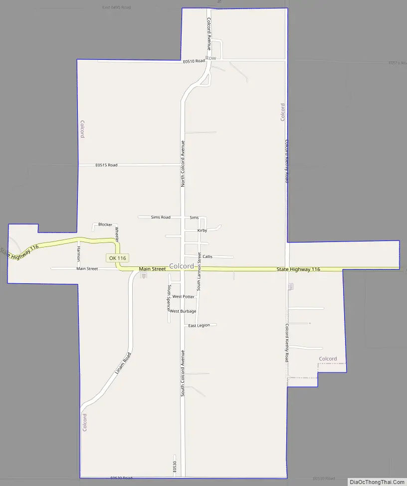
Colcord Road Map
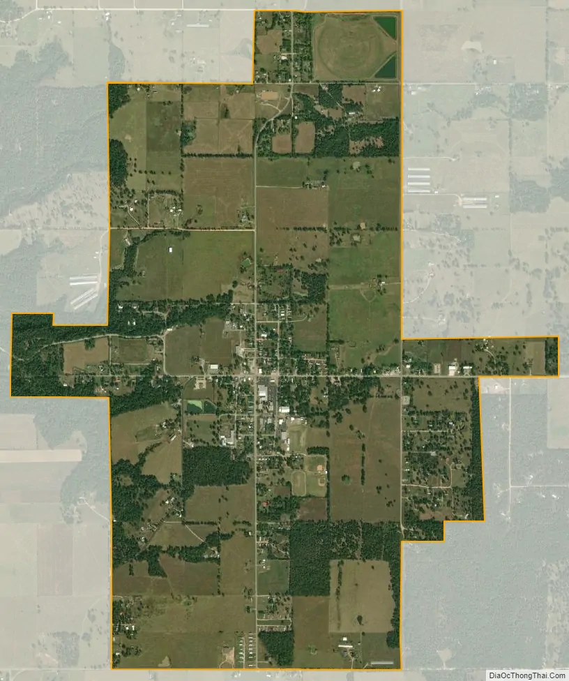
Colcord city Satellite Map
Geography
Colcord is located in southeastern Delaware County at 36°15′55″N 94°41′32″W / 36.26528°N 94.69222°W / 36.26528; -94.69222 (36.265179, -94.692240). It is 9 miles (14 km) northeast of Kansas, 18 miles (29 km) southeast of Jay, the Delaware county seat, and 6 miles (10 km) west of the Oklahoma-Arkansas state line. it is on Oklahoma State Highway 116 east of US-59.
According to the United States Census Bureau, the town has a total area of 2.44 square miles (6.33 km), all land.
See also
Map of Oklahoma State and its subdivision:- Adair
- Alfalfa
- Atoka
- Beaver
- Beckham
- Blaine
- Bryan
- Caddo
- Canadian
- Carter
- Cherokee
- Choctaw
- Cimarron
- Cleveland
- Coal
- Comanche
- Cotton
- Craig
- Creek
- Custer
- Delaware
- Dewey
- Ellis
- Garfield
- Garvin
- Grady
- Grant
- Greer
- Harmon
- Harper
- Haskell
- Hughes
- Jackson
- Jefferson
- Johnston
- Kay
- Kingfisher
- Kiowa
- Latimer
- Le Flore
- Lincoln
- Logan
- Love
- Major
- Marshall
- Mayes
- McClain
- McCurtain
- McIntosh
- Murray
- Muskogee
- Noble
- Nowata
- Okfuskee
- Oklahoma
- Okmulgee
- Osage
- Ottawa
- Pawnee
- Payne
- Pittsburg
- Pontotoc
- Pottawatomie
- Pushmataha
- Roger Mills
- Rogers
- Seminole
- Sequoyah
- Stephens
- Texas
- Tillman
- Tulsa
- Wagoner
- Washington
- Washita
- Woods
- Woodward
- Alabama
- Alaska
- Arizona
- Arkansas
- California
- Colorado
- Connecticut
- Delaware
- District of Columbia
- Florida
- Georgia
- Hawaii
- Idaho
- Illinois
- Indiana
- Iowa
- Kansas
- Kentucky
- Louisiana
- Maine
- Maryland
- Massachusetts
- Michigan
- Minnesota
- Mississippi
- Missouri
- Montana
- Nebraska
- Nevada
- New Hampshire
- New Jersey
- New Mexico
- New York
- North Carolina
- North Dakota
- Ohio
- Oklahoma
- Oregon
- Pennsylvania
- Rhode Island
- South Carolina
- South Dakota
- Tennessee
- Texas
- Utah
- Vermont
- Virginia
- Washington
- West Virginia
- Wisconsin
- Wyoming