Council Hill is a town in Muskogee County, Oklahoma, United States. The population was 158 at the 2010 census, an increase of 28.5 percent over the figure of 129 recorded in 2000.
| Name: | Council Hill town |
|---|---|
| LSAD Code: | 43 |
| LSAD Description: | town (suffix) |
| State: | Oklahoma |
| County: | Muskogee County |
| Elevation: | 659 ft (201 m) |
| Total Area: | 0.32 sq mi (0.82 km²) |
| Land Area: | 0.32 sq mi (0.82 km²) |
| Water Area: | 0.00 sq mi (0.00 km²) |
| Total Population: | 108 |
| Population Density: | 340.69/sq mi (131.73/km²) |
| ZIP code: | 74428 |
| Area code: | 539/918 |
| FIPS code: | 4017550 |
| GNISfeature ID: | 1091739 |
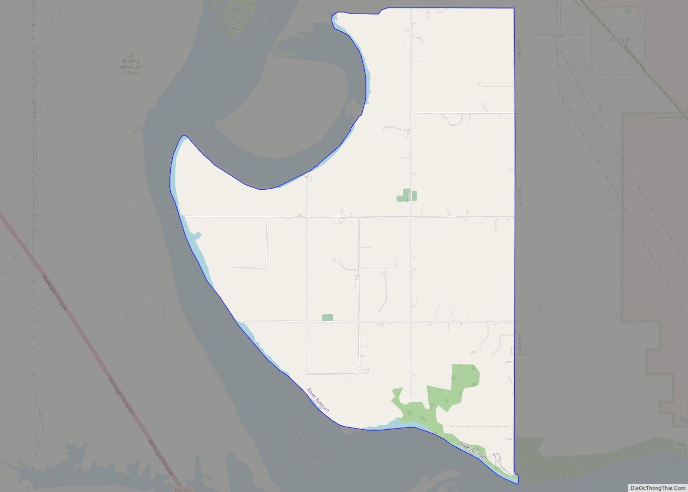
Online Interactive Map
Click on ![]() to view map in "full screen" mode.
to view map in "full screen" mode.
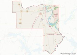
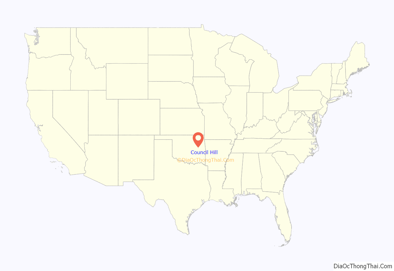
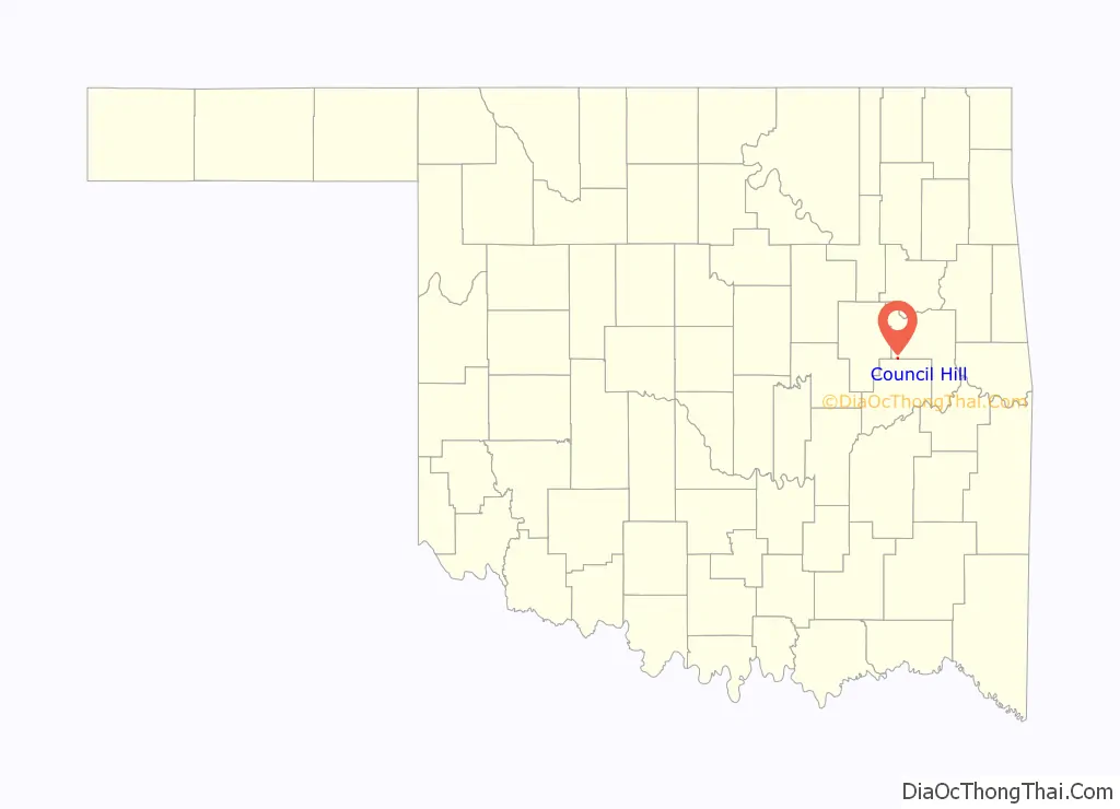
Council Hill location map. Where is Council Hill town?
History
Council Hill began as a council house for the Creek Nation circa 1840, after the tribe had been forced to emigrate to Indian Territory. The Creeks named this location as Weklwa Hulwe or “High Spring,” and consider it their first capitol. Smoke signals from the top of the hill announced calls for general council meetings to other Creek towns in the vicinity. After the outbreak of the Civil War, this place became the headquarters of the Creek Regiment of the Confederate Army, led by D. N. McIntosh.
After the Civil War, Council Hill became a simple farm community. The first post office was established in 1905. The Missouri, Oklahoma and Gulf Railroad (later the Kansas, Oklahoma and Gulf Railway) opened a line through the town in 1907 that enabled shipment of livestock and farm products to markets in the north and east. Cotton was the main crop, but other products included corn, potatoes, wheat, and oats. Oklahoma Pipeline Company built a pumping station at Council Hill for its line that carried crude oil from the Glenn Pool Oil Reserve to the Gulf Coast.
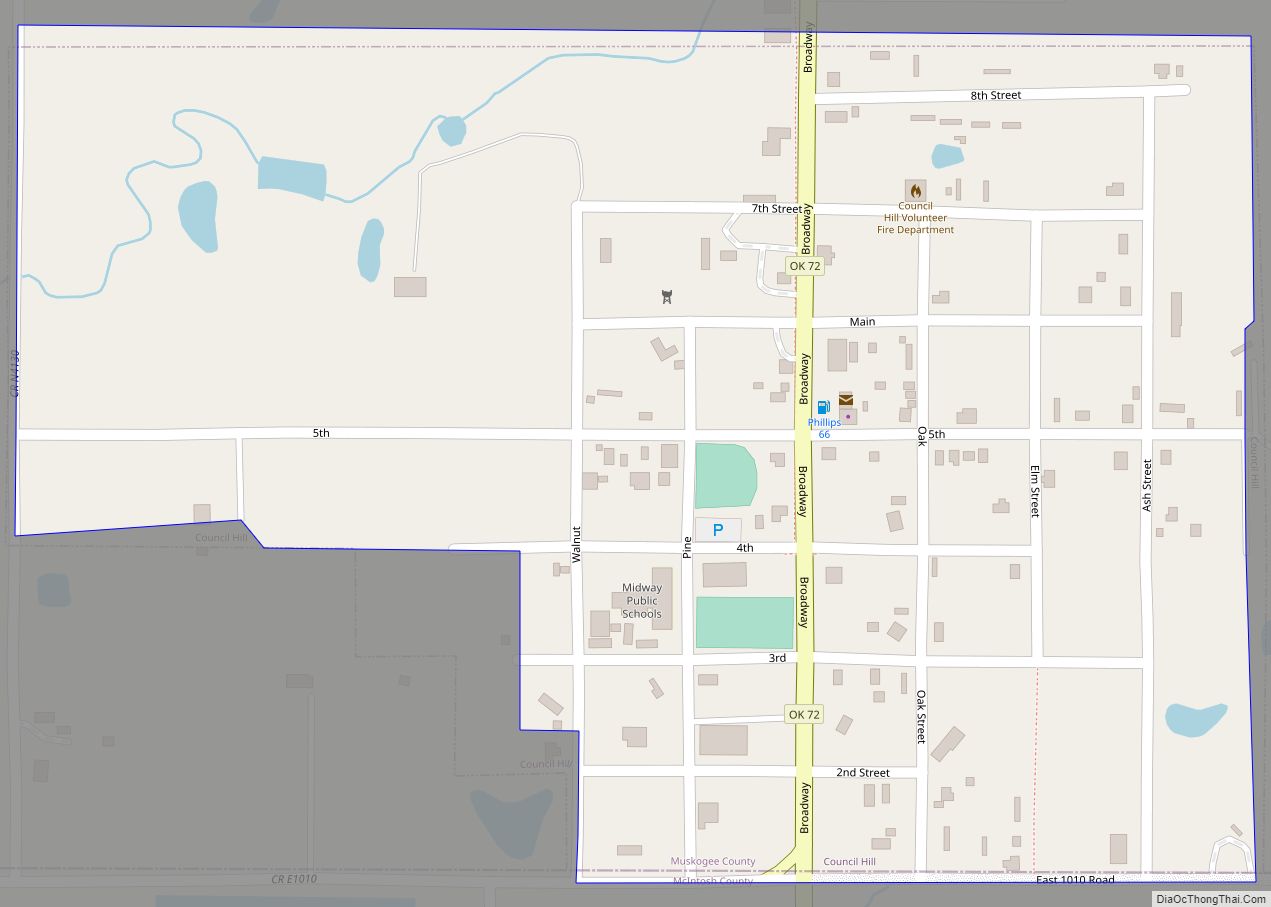
Council Hill Road Map
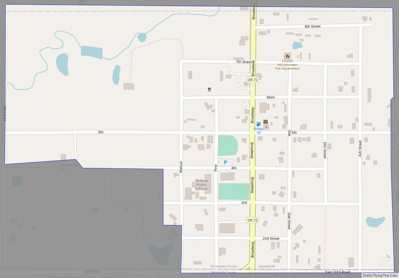
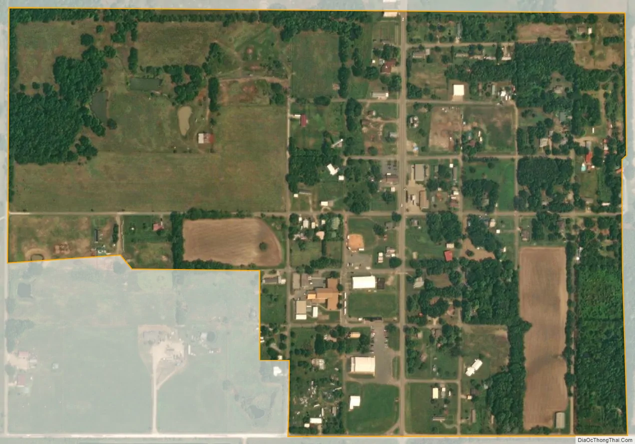
Council Hill city Satellite Map
Geography
Council Hill is located at 35°33′19″N 95°39′7″W / 35.55528°N 95.65194°W / 35.55528; -95.65194 (35.555141, -95.652076). It is 25 miles (40 km) south of Muskogee on U.S. Highway 62.
According to the United States Census Bureau, the town has a total area of 0.3 square miles (0.78 km), all land.
See also
Map of Oklahoma State and its subdivision:- Adair
- Alfalfa
- Atoka
- Beaver
- Beckham
- Blaine
- Bryan
- Caddo
- Canadian
- Carter
- Cherokee
- Choctaw
- Cimarron
- Cleveland
- Coal
- Comanche
- Cotton
- Craig
- Creek
- Custer
- Delaware
- Dewey
- Ellis
- Garfield
- Garvin
- Grady
- Grant
- Greer
- Harmon
- Harper
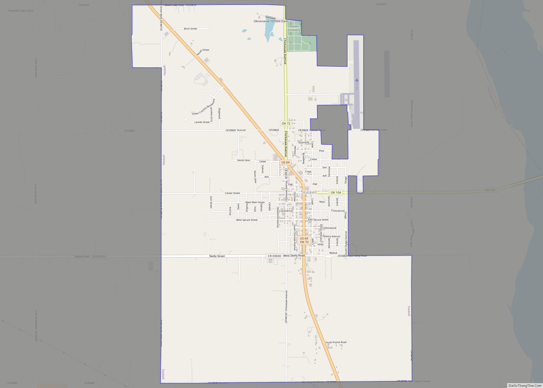
- Haskell
- Hughes
- Jackson
- Jefferson
- Johnston
- Kay
- Kingfisher
- Kiowa
- Latimer
- Le Flore
- Lincoln
- Logan
- Love
- Major
- Marshall
- Mayes
- McClain
- McCurtain
- McIntosh
- Murray
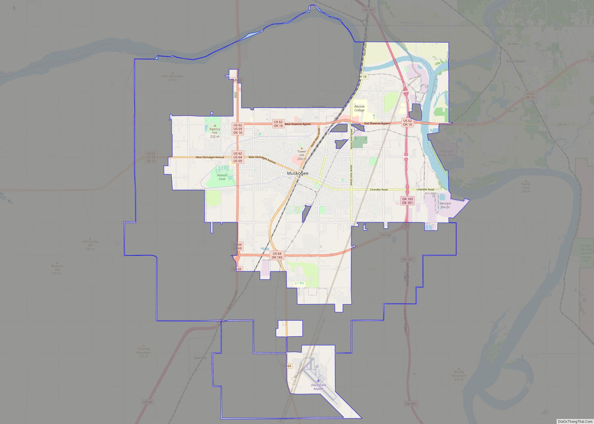
- Muskogee
- Noble
- Nowata
- Okfuskee
- Oklahoma
- Okmulgee
- Osage
- Ottawa
- Pawnee
- Payne
- Pittsburg
- Pontotoc
- Pottawatomie
- Pushmataha
- Roger Mills
- Rogers
- Seminole
- Sequoyah
- Stephens
- Texas
- Tillman
- Tulsa
- Wagoner
- Washington
- Washita
- Woods
- Woodward
- Alabama
- Alaska
- Arizona
- Arkansas
- California
- Colorado
- Connecticut
- Delaware
- District of Columbia
- Florida
- Georgia
- Hawaii
- Idaho
- Illinois
- Indiana
- Iowa
- Kansas
- Kentucky
- Louisiana
- Maine
- Maryland
- Massachusetts
- Michigan
- Minnesota
- Mississippi
- Missouri
- Montana
- Nebraska
- Nevada
- New Hampshire
- New Jersey
- New Mexico
- New York
- North Carolina
- North Dakota
- Ohio
- Oklahoma
- Oregon
- Pennsylvania
- Rhode Island
- South Carolina
- South Dakota
- Tennessee
- Texas
- Utah
- Vermont
- Virginia
- Washington
- West Virginia
- Wisconsin
- Wyoming