Fort Supply is a town in Woodward County, Oklahoma, United States, 13 kilometres (8.1 mi) northwest of the city of Woodward, the county seat. The population was 330 at the 2010 census.
| Name: | Fort Supply town |
|---|---|
| LSAD Code: | 43 |
| LSAD Description: | town (suffix) |
| State: | Oklahoma |
| County: | Woodward County |
| Elevation: | 2,001 ft (610 m) |
| Total Area: | 0.21 sq mi (0.56 km²) |
| Land Area: | 0.21 sq mi (0.56 km²) |
| Water Area: | 0.00 sq mi (0.00 km²) |
| Total Population: | 317 |
| Population Density: | 1,474.42/sq mi (569.19/km²) |
| ZIP code: | 73841 |
| Area code: | 580 |
| FIPS code: | 4027350 |
| GNISfeature ID: | 1092967 |
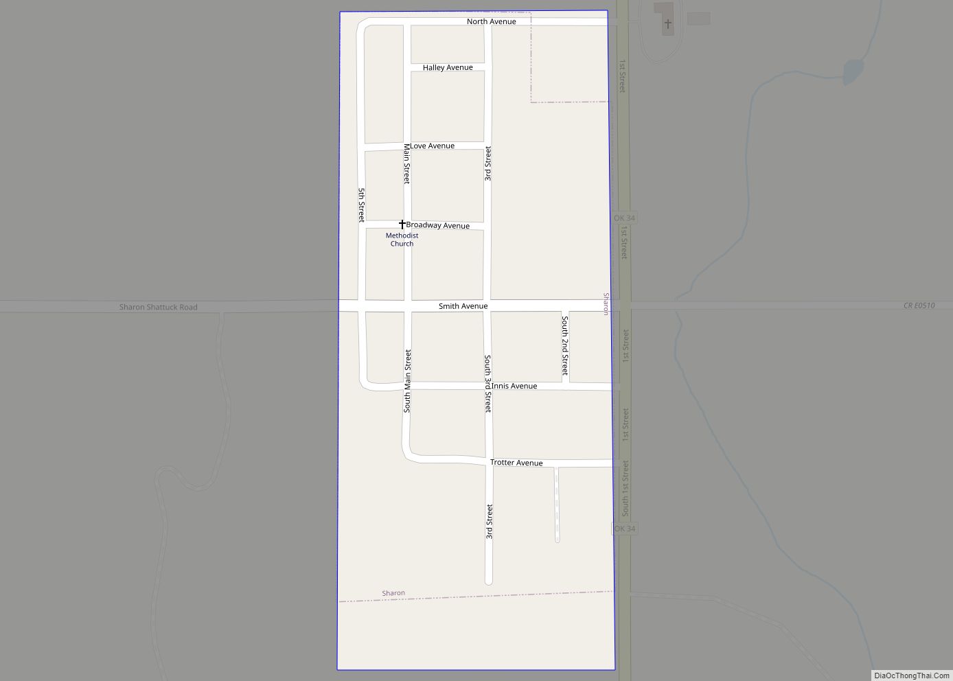
Online Interactive Map
Click on ![]() to view map in "full screen" mode.
to view map in "full screen" mode.
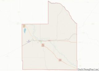
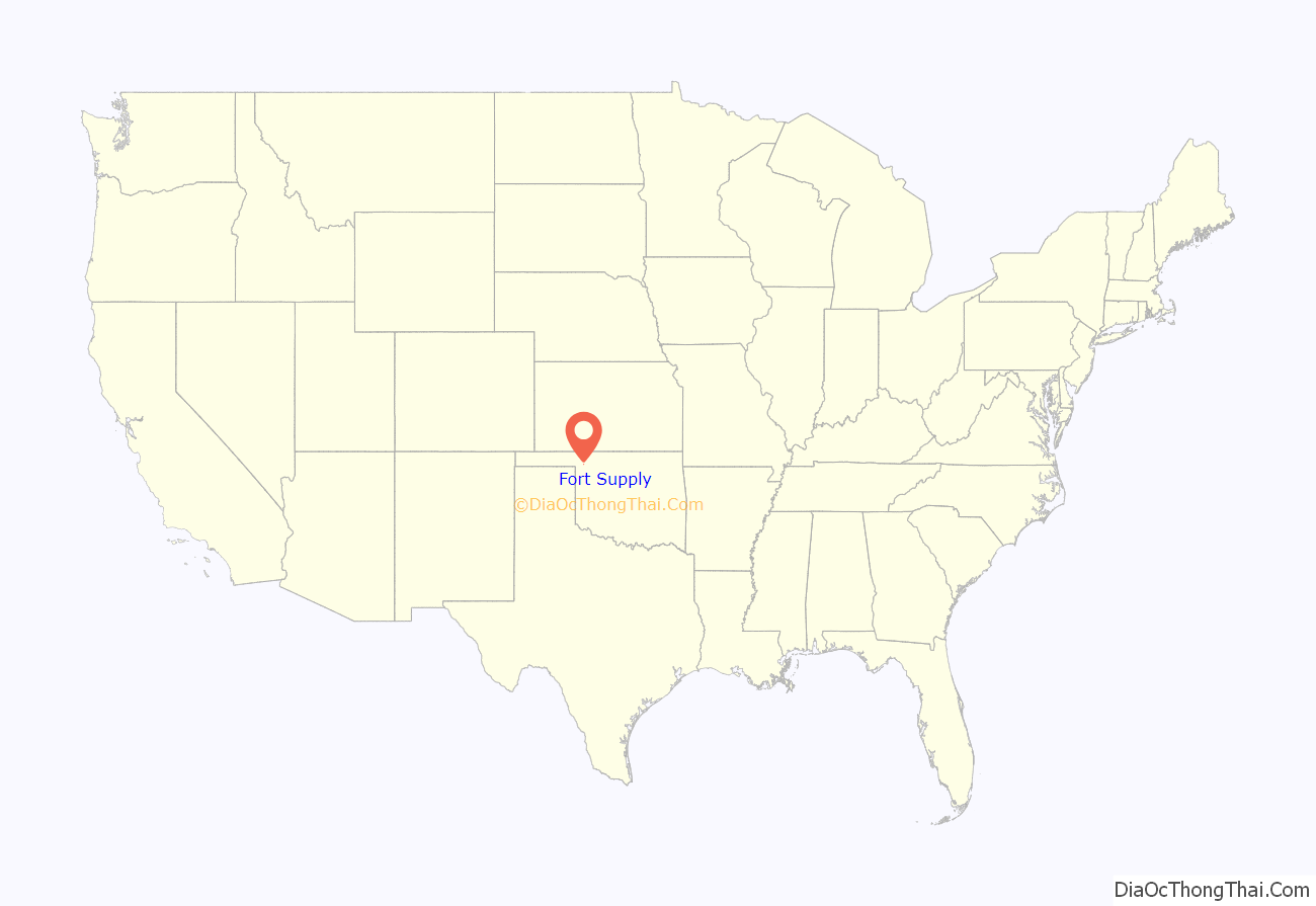
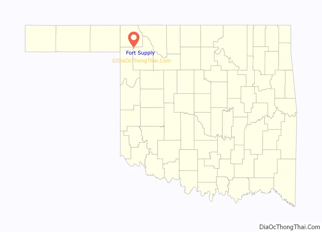
Fort Supply location map. Where is Fort Supply town?
History
The United States Army post of Fort Supply was established in 1868 as a “Camp of Supply” for the winter campaign that General Philip Sheridan led against the Southern Plains Indians.
People established the town of Fitzgerald three miles west-southwest of the site of the former Fort Supply in 1902, but this town quickly failed.
Rancher H. H. Halsell sold the land one mile west of Fort Supply to territorial legislator James P. Gandy. Gandy hired surveyors to plat the land for a town site and founded the town of Supply in 1903. He moved most of the original buildings of Supply from the recently failed town of Fitzgerald. The Government established the first post office for the town of Supply on 12 May 1903. In the early years, area farmers and ranchers centered their economic trade around the town.
In 1908, the State of Oklahoma transformed Fort Supply, the derelict army post, into Western Oklahoma State Hospital, also known as Western State Hospital or Fort Supply State Hospital, the first state-operated mental institution of Oklahoma.
The Flood Control Act of 1936 provided for construction of a dam and reservoir one mile southeast of the town in the valley of Wolf Creek. Work began on the largest earthen dam in the United States of America in October 1938 and Fort Supply Lake was completed in May 1942. The United States Army Corps of Engineers administers Fort Supply Lake and the adjacent wildlife and recreation area.
On 1 May 1943, the people changed the name of the post office and town of Supply to Fort Supply.
On 6 December 1988, the State of Oklahoma located a new prison, William S. Key Correctional Center, on the grounds of nearby former Fort Supply. Western State Psychiatric Center also has operations on the grounds. Agriculture and employment at these state institutions form the economic base of the community of Fort Supply.
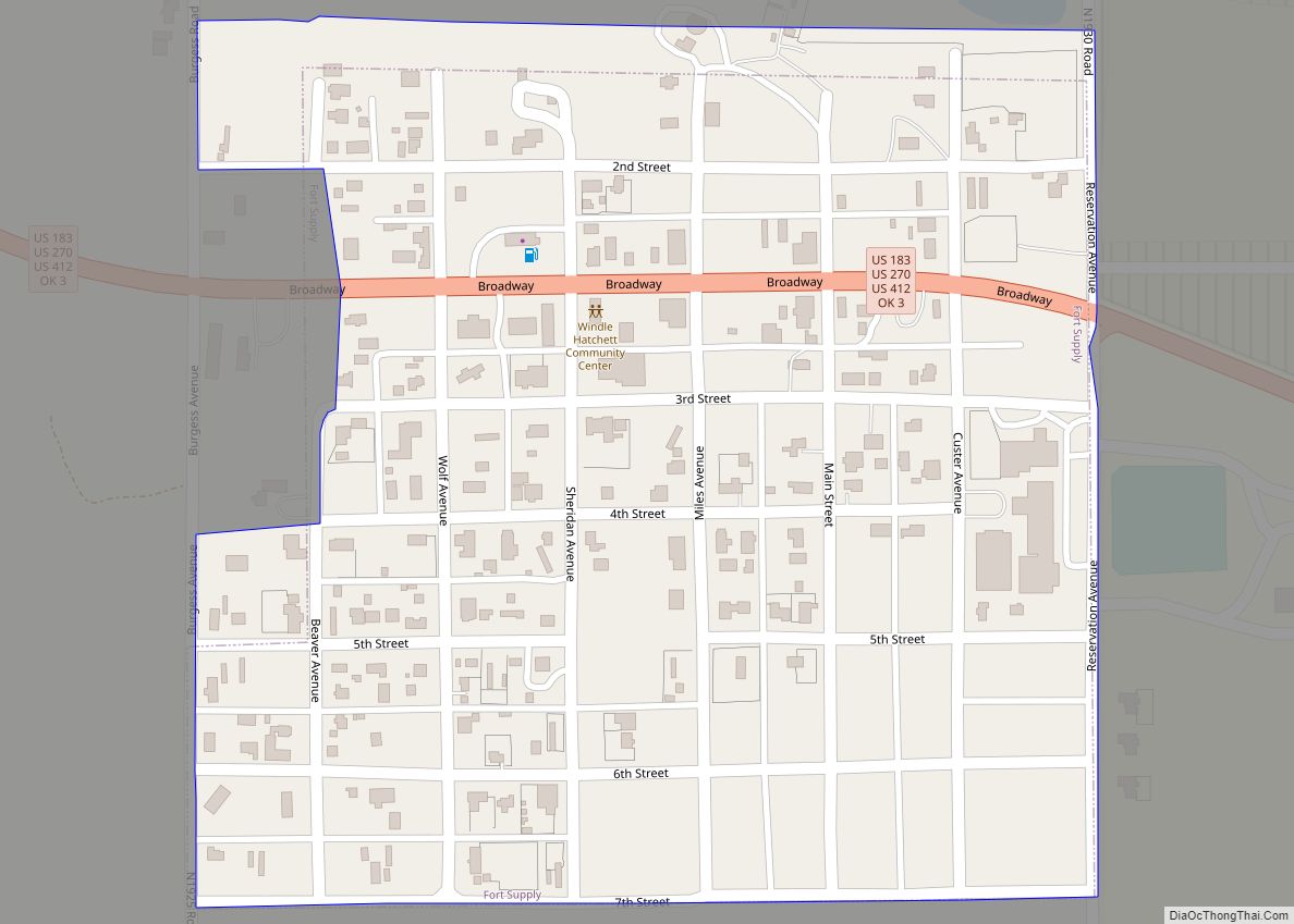
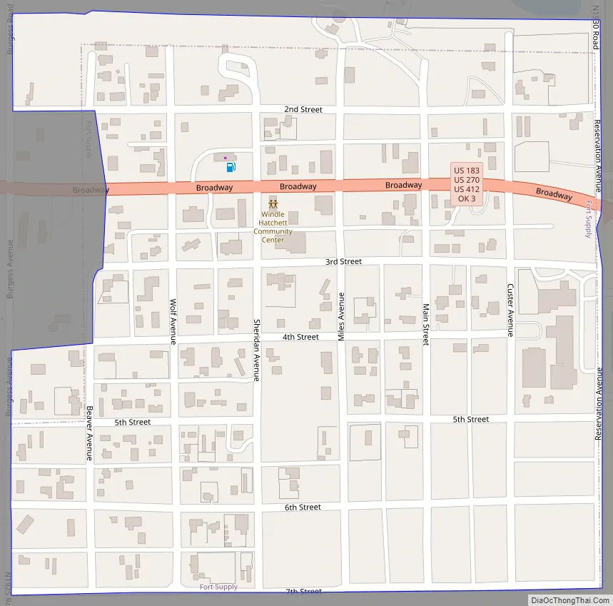
Fort Supply Road Map
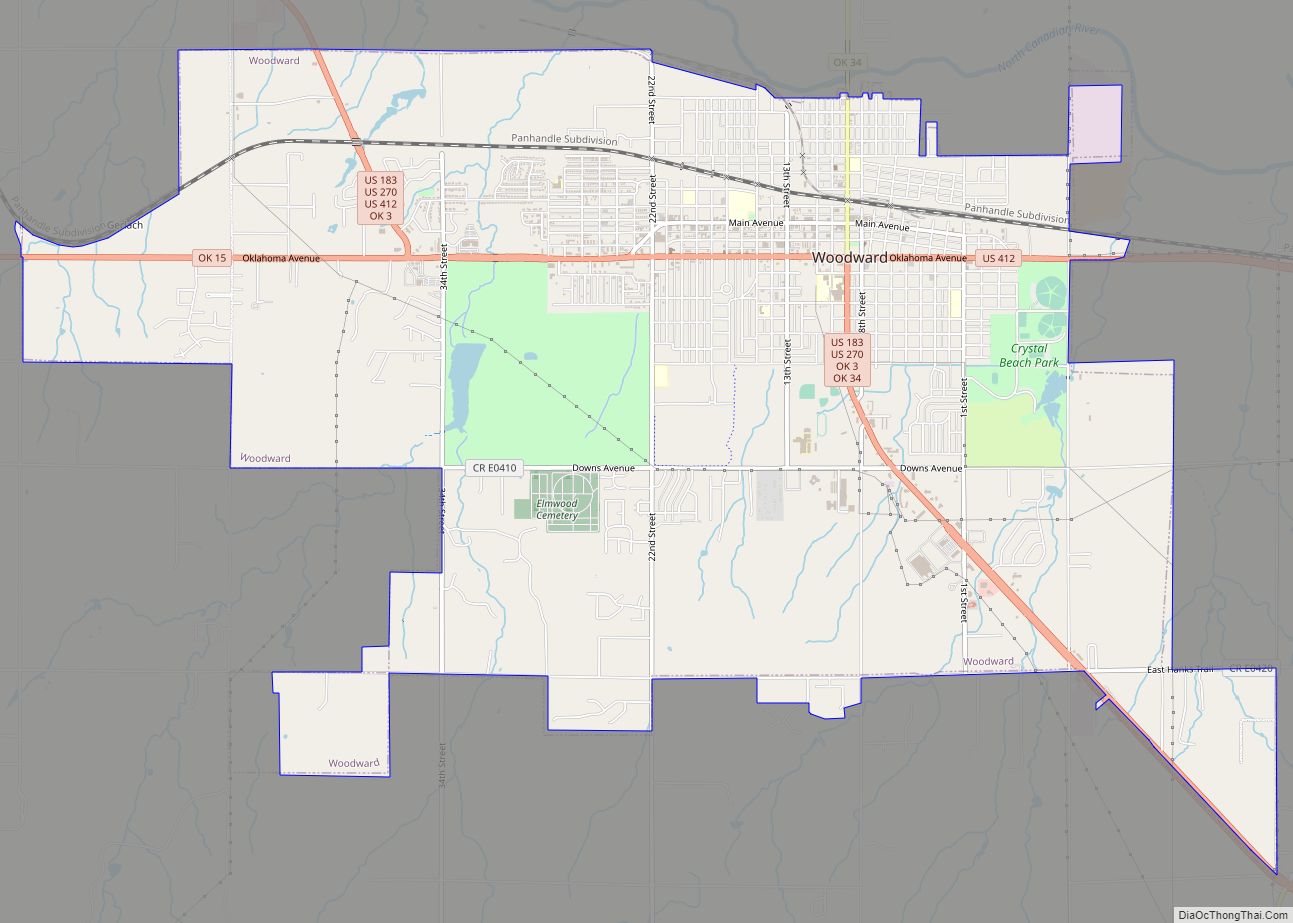
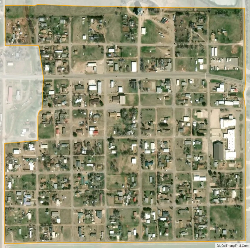
Fort Supply city Satellite Map
Geography
Fort Supply is located at 36°34′20″N 99°34′26″W / 36.57222°N 99.57389°W / 36.57222; -99.57389 (36.572271, -99.573856). According to the United States Census Bureau, the town has a total area of 0.2 square miles (0.52 km), all land.
Fort Supply Reservoir is directly south; the Hal & Fern Cooper Wildlife Management Area, covering 16,080 acres and administered by the Oklahoma Department of Wildlife Conservation, is to the east.
Climate
See also
Map of Oklahoma State and its subdivision:- Adair
- Alfalfa
- Atoka
- Beaver
- Beckham
- Blaine
- Bryan
- Caddo
- Canadian
- Carter
- Cherokee
- Choctaw
- Cimarron
- Cleveland
- Coal
- Comanche
- Cotton
- Craig
- Creek
- Custer
- Delaware
- Dewey
- Ellis
- Garfield
- Garvin
- Grady
- Grant
- Greer
- Harmon
- Harper
- Haskell
- Hughes
- Jackson
- Jefferson
- Johnston
- Kay
- Kingfisher
- Kiowa
- Latimer
- Le Flore
- Lincoln
- Logan
- Love
- Major
- Marshall
- Mayes
- McClain
- McCurtain
- McIntosh
- Murray
- Muskogee
- Noble
- Nowata
- Okfuskee
- Oklahoma
- Okmulgee
- Osage
- Ottawa
- Pawnee
- Payne
- Pittsburg
- Pontotoc
- Pottawatomie
- Pushmataha
- Roger Mills
- Rogers
- Seminole
- Sequoyah
- Stephens
- Texas
- Tillman
- Tulsa
- Wagoner
- Washington
- Washita
- Woods
- Woodward
- Alabama
- Alaska
- Arizona
- Arkansas
- California
- Colorado
- Connecticut
- Delaware
- District of Columbia
- Florida
- Georgia
- Hawaii
- Idaho
- Illinois
- Indiana
- Iowa
- Kansas
- Kentucky
- Louisiana
- Maine
- Maryland
- Massachusetts
- Michigan
- Minnesota
- Mississippi
- Missouri
- Montana
- Nebraska
- Nevada
- New Hampshire
- New Jersey
- New Mexico
- New York
- North Carolina
- North Dakota
- Ohio
- Oklahoma
- Oregon
- Pennsylvania
- Rhode Island
- South Carolina
- South Dakota
- Tennessee
- Texas
- Utah
- Vermont
- Virginia
- Washington
- West Virginia
- Wisconsin
- Wyoming