Haskell is a town in Muskogee County, Oklahoma, United States. The population was 2,007 at the 2010 census, a gain of 13.7 percent over the figure of 1,765 recorded in 2000. Haskell was established in 1904 on the Midland Valley Railroad. It was named for town site developer Charles N. Haskell, who would become the first governor of the State of Oklahoma in 1907.
| Name: | Haskell town |
|---|---|
| LSAD Code: | 43 |
| LSAD Description: | town (suffix) |
| State: | Oklahoma |
| County: | Muskogee County |
| Elevation: | 574 ft (175 m) |
| Total Area: | 5.07 sq mi (13.13 km²) |
| Land Area: | 5.03 sq mi (13.03 km²) |
| Water Area: | 0.04 sq mi (0.11 km²) |
| Total Population: | 1,626 |
| Population Density: | 323.20/sq mi (124.79/km²) |
| ZIP code: | 74436 |
| Area code: | 539/918 |
| FIPS code: | 4032900 |
| GNISfeature ID: | 1093591 |
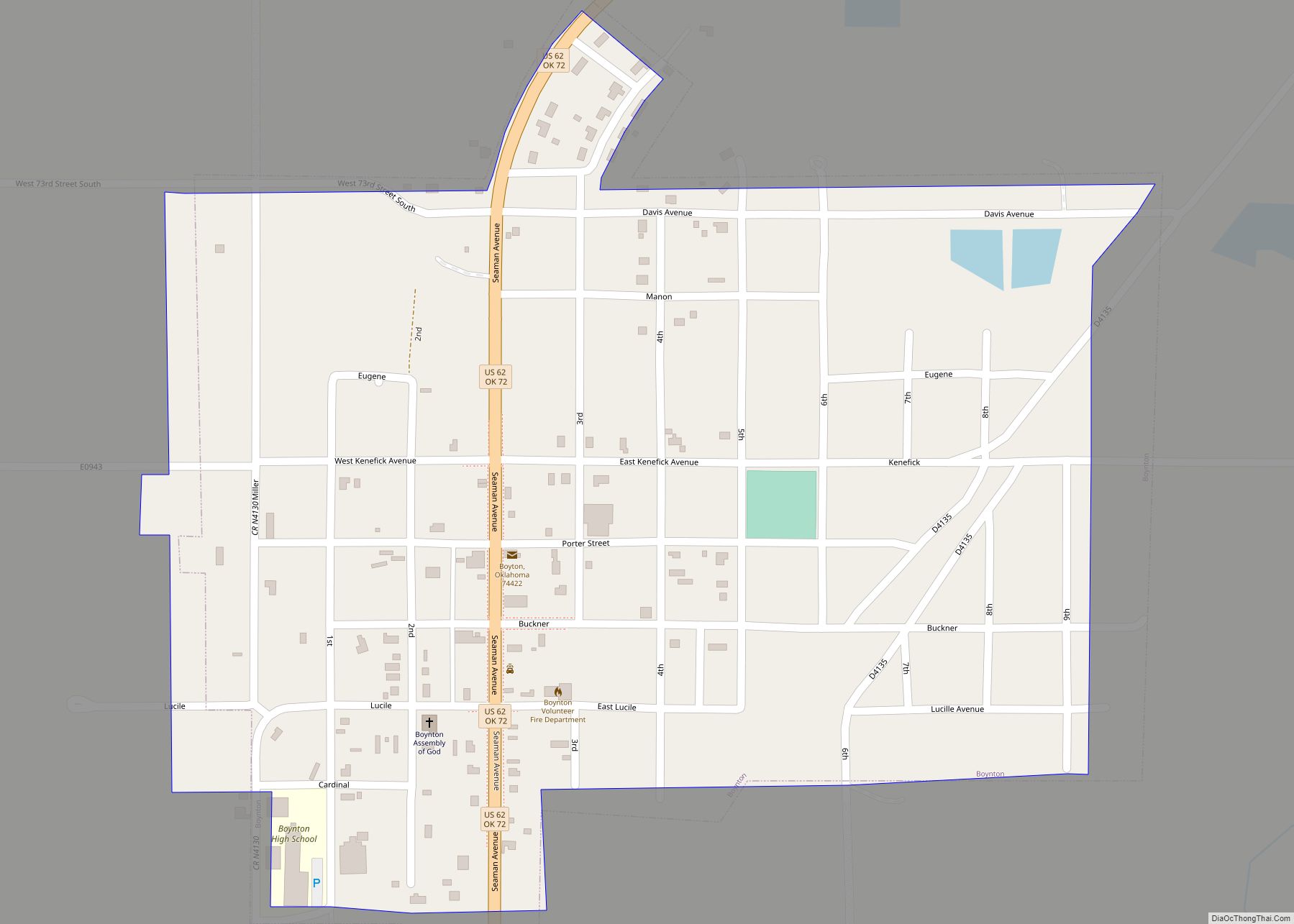
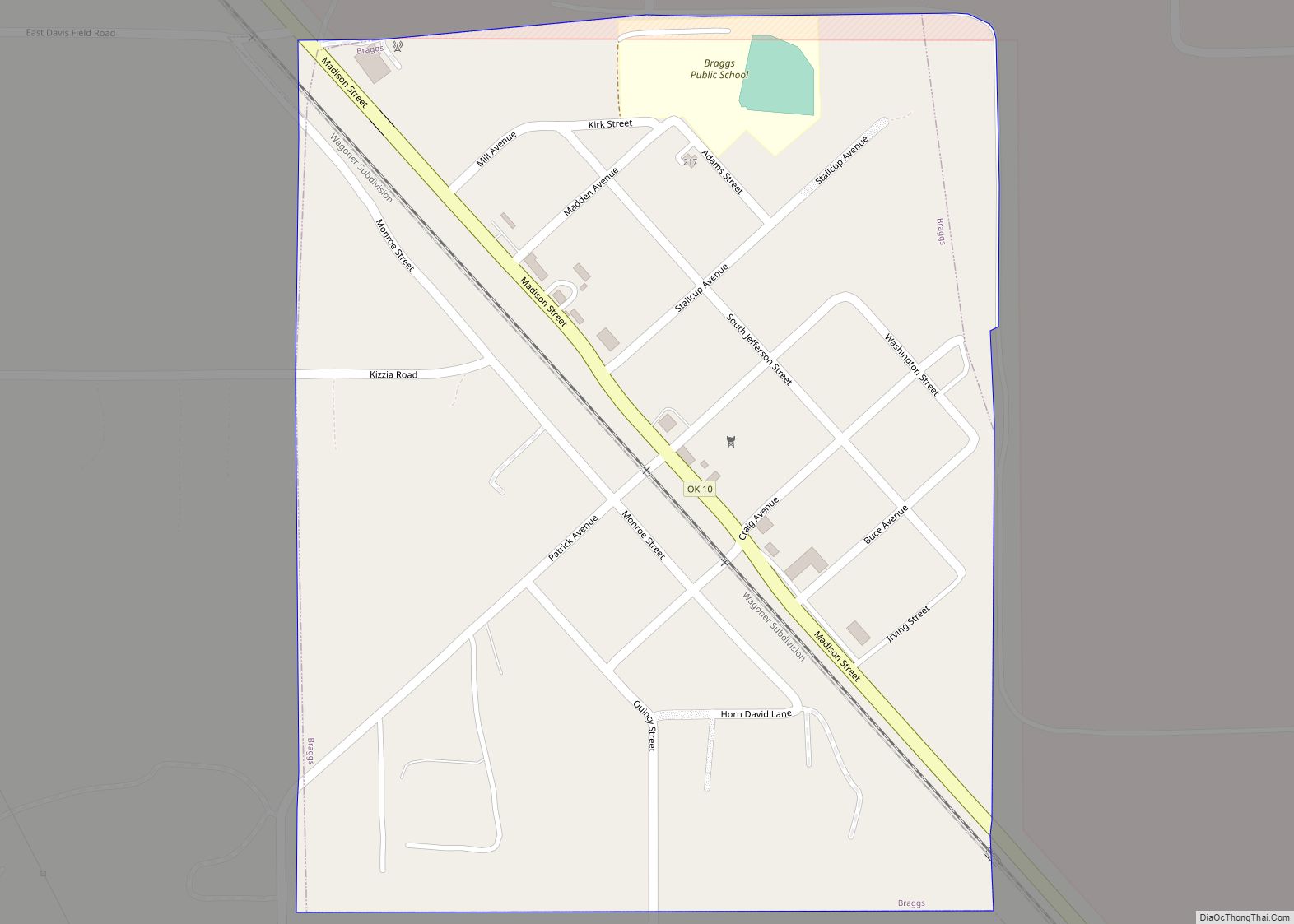
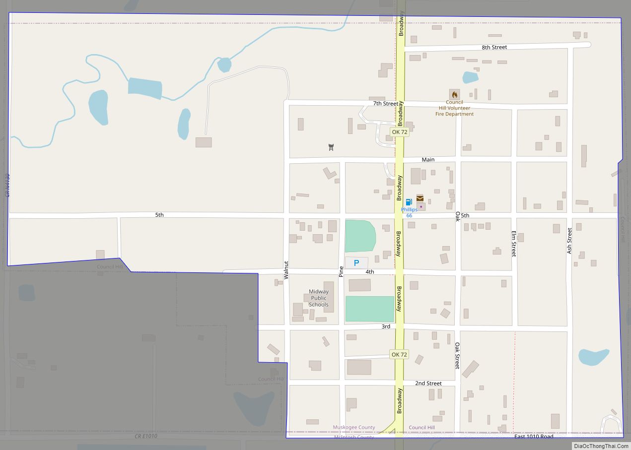
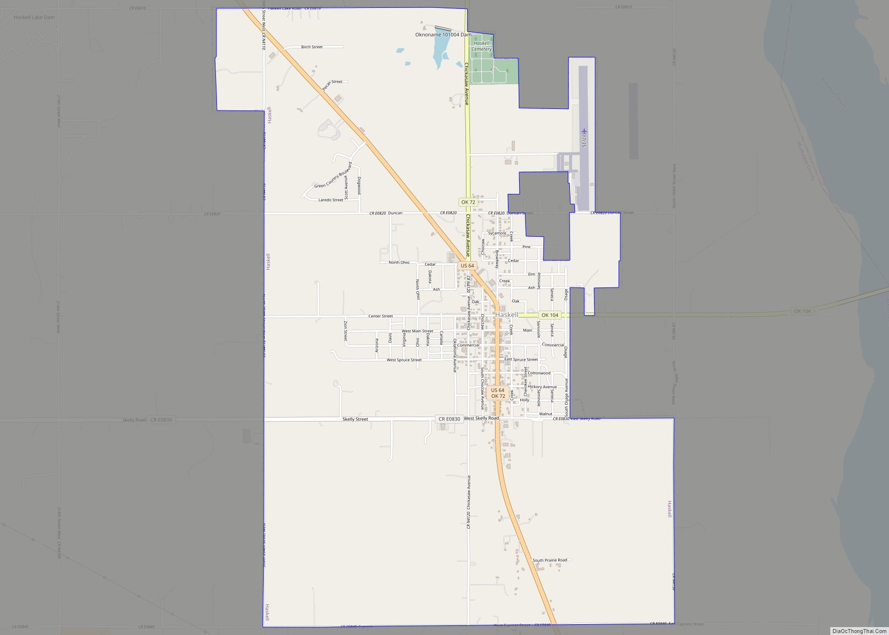
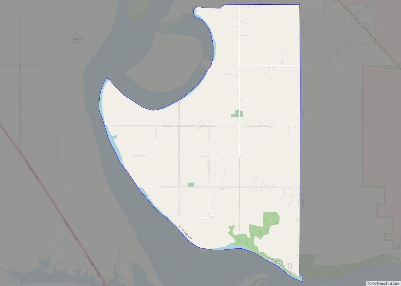
Online Interactive Map
Click on ![]() to view map in "full screen" mode.
to view map in "full screen" mode.
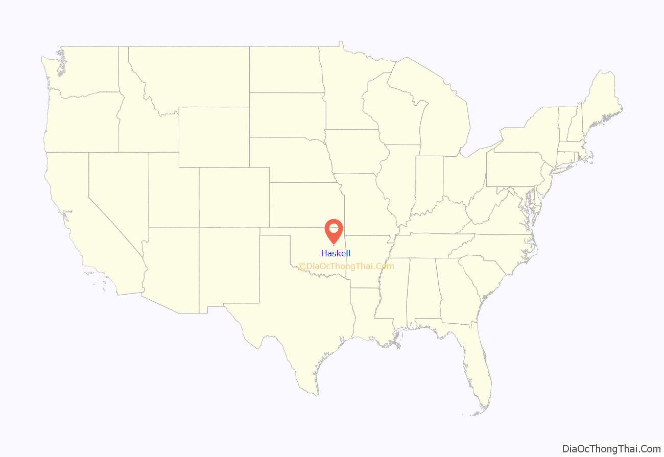
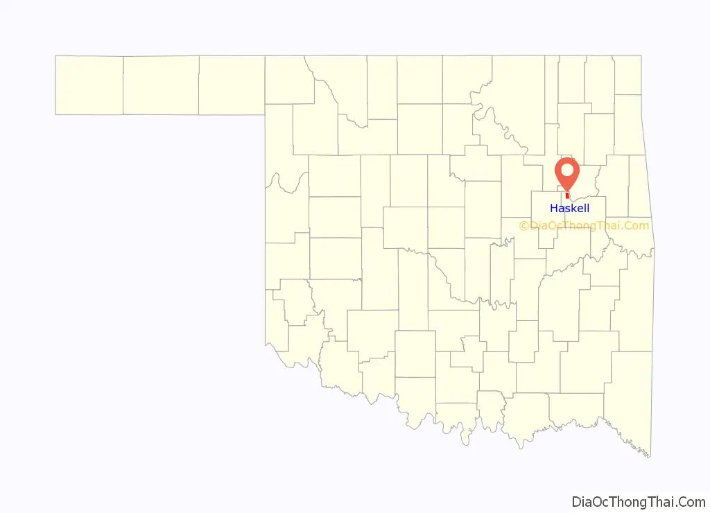
Haskell location map. Where is Haskell town?
History
Haskell was founded about one and a half miles northeast of the Muscogee (Creek) Nation town of Sawokla, which already had a post office, a store and a cotton gin. Sawokla was a Hitachita town and had been the home of Creek Chief Samuel Checote. The original 80 acres (32 ha) tract had been allotted to Amos Rolland, a member of the Creek Nation. The store and gin relocated from Sawokla to Haskell as soon as the railroad was completed in 1904. The first store, S. Beshara and Brothers, was started in a tent by two immigrants from Syria. Haskell’s first post office was established in 1902, with Nat Lambertson, owner of a new hardware and general store, appointed as first postmaster. Other early businesses were C. E. Henson’s general store and A. J. Englert’s mill and elevator. The Haskell National Bank was organized in 1904, soon followed by the First National Bank, the International Bank, and the Arkansas Valley Bank. In the early 1990s, the town appointed Charlie B. White, a native son, its first black mayor. He died on March 17, 2013.
The railroad enabled farmers near Haskell to ship their produce (grain, hay, corn, melons and cotton) to northern and eastern markets. Haskell counted 720 residents at the time of statehood in 1907. The Robertson Memorial Presbyterian Church, named for a noted missionary family who had lived in the area, was built in 1909. The President of Henry Kendall College came from Muskogee to preside over the dedication. The building is still in use in the 21st Century.
Gas and oil were discovered near Haskell in 1910. This sparked a period of prosperity, and Haskell soon could boast of improvements such as paved streets, concrete sidewalks, electric lights, natural gas lines, and water works.
Completion of the Tulsa-Muskogee Turnpike in 1969 bypassed Haskell and diverted much road traffic from U.S. Highway 64. This caused a significant loss of revenue for many businesses in town.
Haskell Road Map
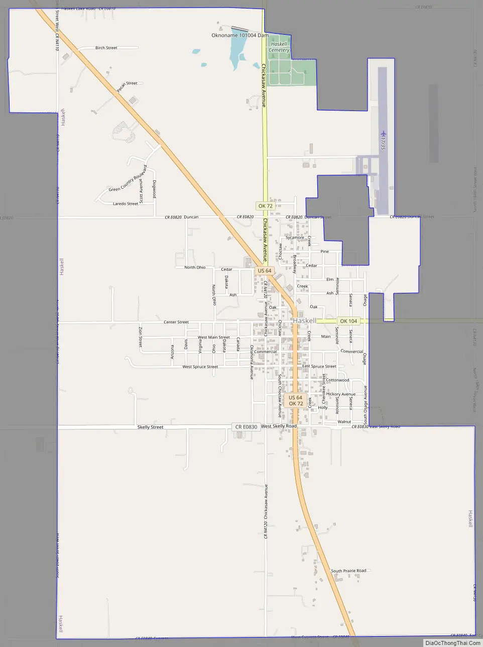
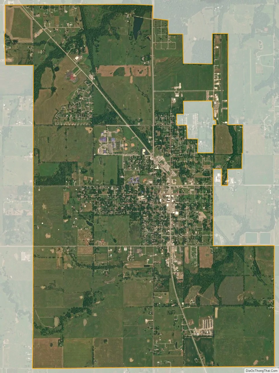
Haskell city Satellite Map
Geography
Haskell is located at 35°49′12″N 95°40′37″W / 35.82000°N 95.67694°W / 35.82000; -95.67694 (35.819951, -95.676956). It is 19 miles (31 km) northwest of Muskogee.
According to the United States Census Bureau, the town has a total area of 2.2 square miles (5.7 km), all land.
See also
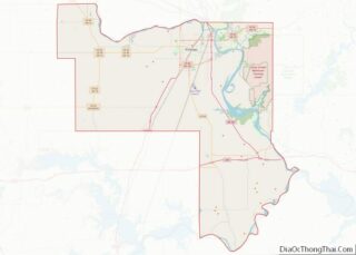
Map of Oklahoma State and its subdivision:- Adair
- Alfalfa
- Atoka
- Beaver
- Beckham
- Blaine
- Bryan
- Caddo
- Canadian
- Carter
- Cherokee
- Choctaw
- Cimarron
- Cleveland
- Coal
- Comanche
- Cotton
- Craig
- Creek
- Custer
- Delaware
- Dewey
- Ellis
- Garfield
- Garvin
- Grady
- Grant
- Greer
- Harmon
- Harper
- Haskell
- Hughes
- Jackson
- Jefferson
- Johnston
- Kay
- Kingfisher
- Kiowa
- Latimer
- Le Flore
- Lincoln
- Logan
- Love
- Major
- Marshall
- Mayes
- McClain
- McCurtain
- McIntosh
- Murray
- Muskogee
- Noble
- Nowata
- Okfuskee
- Oklahoma
- Okmulgee
- Osage
- Ottawa
- Pawnee
- Payne
- Pittsburg
- Pontotoc
- Pottawatomie
- Pushmataha
- Roger Mills
- Rogers
- Seminole
- Sequoyah
- Stephens
- Texas
- Tillman
- Tulsa
- Wagoner
- Washington
- Washita
- Woods
- Woodward
- Alabama
- Alaska
- Arizona
- Arkansas
- California
- Colorado
- Connecticut
- Delaware
- District of Columbia
- Florida
- Georgia
- Hawaii
- Idaho
- Illinois
- Indiana
- Iowa
- Kansas
- Kentucky
- Louisiana
- Maine
- Maryland
- Massachusetts
- Michigan
- Minnesota
- Mississippi
- Missouri
- Montana
- Nebraska
- Nevada
- New Hampshire
- New Jersey
- New Mexico
- New York
- North Carolina
- North Dakota
- Ohio
- Oklahoma
- Oregon
- Pennsylvania
- Rhode Island
- South Carolina
- South Dakota
- Tennessee
- Texas
- Utah
- Vermont
- Virginia
- Washington
- West Virginia
- Wisconsin
- Wyoming