Hollis is a city in and the county seat of Harmon County, Oklahoma, United States. The population was 2,060 at the 2010 census.
| Name: | Hollis city |
|---|---|
| LSAD Code: | 25 |
| LSAD Description: | city (suffix) |
| State: | Oklahoma |
| County: | Harmon County |
| Elevation: | 1,627 ft (496 m) |
| Total Area: | 1.49 sq mi (3.85 km²) |
| Land Area: | 1.49 sq mi (3.85 km²) |
| Water Area: | 0.00 sq mi (0.00 km²) |
| Total Population: | 1,795 |
| Population Density: | 1,208.75/sq mi (466.80/km²) |
| ZIP code: | 73550 |
| Area code: | 580 |
| FIPS code: | 4035500 |
Online Interactive Map
Click on ![]() to view map in "full screen" mode.
to view map in "full screen" mode.
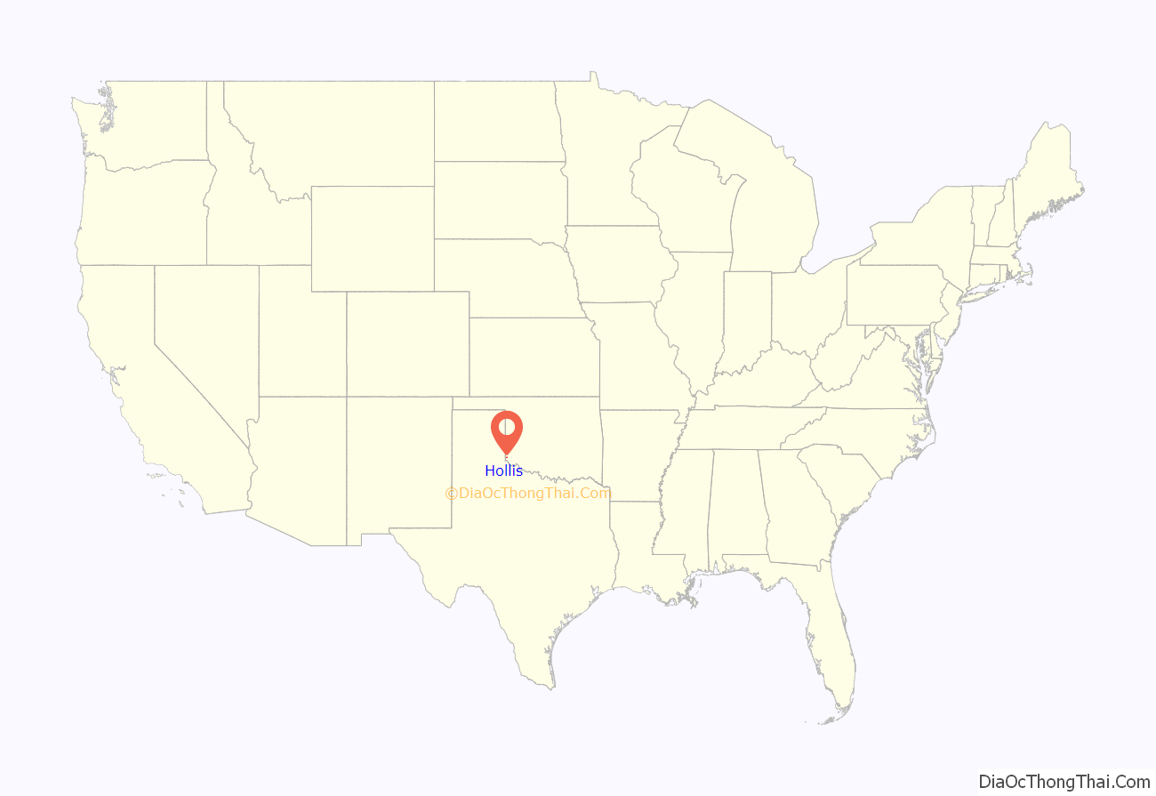
Hollis location map. Where is Hollis city?
History
The city was named for George W. Hollis, a local businessman and member of the townsite committee that laid out the town in 1898, while the site was still in old Greer County, Texas. The original plat was lost, and after a lawsuit, the town was re-platted in 1903. The original business district comprised a general store opened by George Hollis and a blacksmith shop owned by James (Jim) Maylen Prock. A post office named for Hollis was established October 31, 1901.
Hollis was in Greer County, Oklahoma until 1909, when Governor Haskell divided the old county into Greer County and Harmon County, Hollis fell into Harmon County. An election was held to choose a county seat. Contenders were Hollis, Dryden, Looney and Vinson. Hollis won the election.
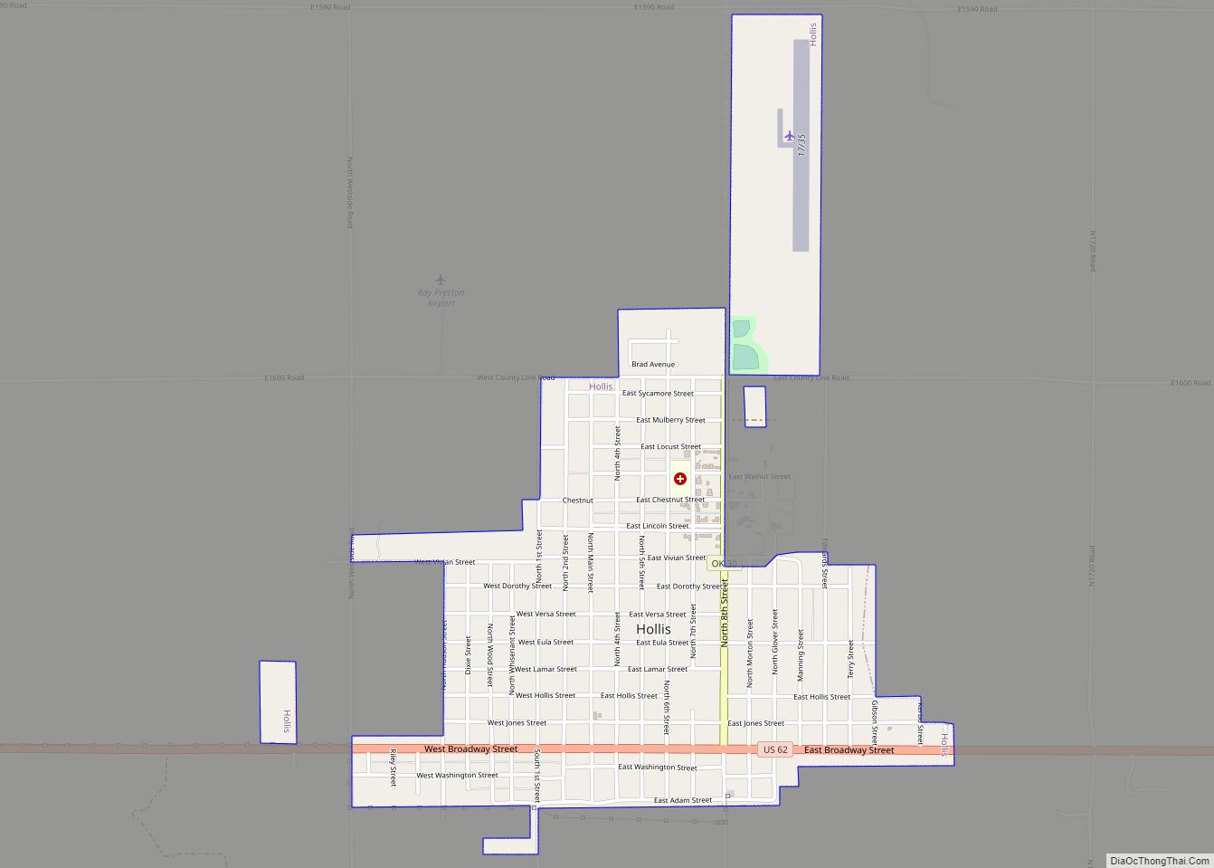
Hollis Road Map
Hollis city Satellite Map
Geography
Hollis is located at 34°41′11″N 99°55′1″W / 34.68639°N 99.91694°W / 34.68639; -99.91694 (34.686374, -99.916889). According to the United States Census Bureau, the city has a total area of 1.4 square miles (3.6 km), all land.
Climate
Hollis experiences a humid subtropical climate (Köppen Cfa) with cool, dry winters and hot wetter summers. The more detailed Trewartha climate classification identifies the climate as humid subtropical with very hot summers and cool winters (Crhk).
See also
Map of Oklahoma State and its subdivision:- Adair
- Alfalfa
- Atoka
- Beaver
- Beckham
- Blaine
- Bryan
- Caddo
- Canadian
- Carter
- Cherokee
- Choctaw
- Cimarron
- Cleveland
- Coal
- Comanche
- Cotton
- Craig
- Creek
- Custer
- Delaware
- Dewey
- Ellis
- Garfield
- Garvin
- Grady
- Grant
- Greer
- Harmon
- Harper
- Haskell
- Hughes
- Jackson
- Jefferson
- Johnston
- Kay
- Kingfisher
- Kiowa
- Latimer
- Le Flore
- Lincoln
- Logan
- Love
- Major
- Marshall
- Mayes
- McClain
- McCurtain
- McIntosh
- Murray
- Muskogee
- Noble
- Nowata
- Okfuskee
- Oklahoma
- Okmulgee
- Osage
- Ottawa
- Pawnee
- Payne
- Pittsburg
- Pontotoc
- Pottawatomie
- Pushmataha
- Roger Mills
- Rogers
- Seminole
- Sequoyah
- Stephens
- Texas
- Tillman
- Tulsa
- Wagoner
- Washington
- Washita
- Woods
- Woodward
- Alabama
- Alaska
- Arizona
- Arkansas
- California
- Colorado
- Connecticut
- Delaware
- District of Columbia
- Florida
- Georgia
- Hawaii
- Idaho
- Illinois
- Indiana
- Iowa
- Kansas
- Kentucky
- Louisiana
- Maine
- Maryland
- Massachusetts
- Michigan
- Minnesota
- Mississippi
- Missouri
- Montana
- Nebraska
- Nevada
- New Hampshire
- New Jersey
- New Mexico
- New York
- North Carolina
- North Dakota
- Ohio
- Oklahoma
- Oregon
- Pennsylvania
- Rhode Island
- South Carolina
- South Dakota
- Tennessee
- Texas
- Utah
- Vermont
- Virginia
- Washington
- West Virginia
- Wisconsin
- Wyoming


