Leach is an unincorporated community and census-designated place (CDP) in southwestern Delaware County, Oklahoma, United States, along U.S. Route 412 and 412 Alternate. The population was 237 at the 2010 census.
| Name: | Leach CDP |
|---|---|
| LSAD Code: | 57 |
| LSAD Description: | CDP (suffix) |
| State: | Oklahoma |
| County: | Delaware County |
| Elevation: | 1,106 ft (337 m) |
| Total Area: | 5.75 sq mi (14.89 km²) |
| Land Area: | 5.75 sq mi (14.89 km²) |
| Water Area: | 0.00 sq mi (0.00 km²) |
| Total Population: | 249 |
| Population Density: | 43.30/sq mi (16.72/km²) |
| FIPS code: | 4041900 |
| GNISfeature ID: | 1100569 |
Online Interactive Map
Click on ![]() to view map in "full screen" mode.
to view map in "full screen" mode.
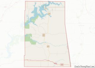
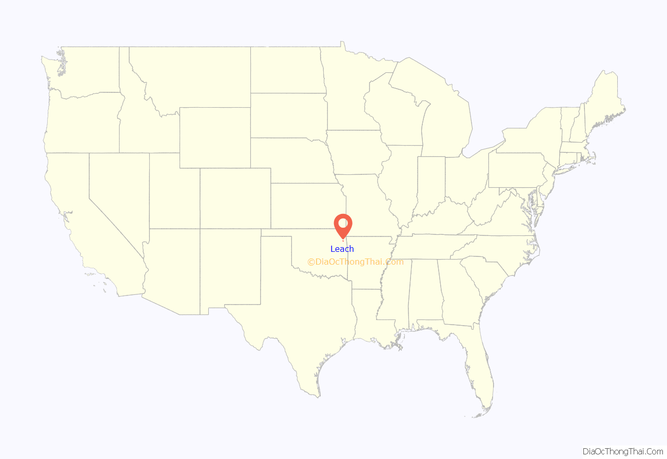
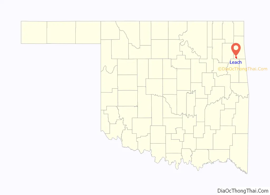
Leach location map. Where is Leach CDP?
History
The community has the name of J. R. Leach, an early settler. On May 20, 2019, a nocturnal EF2 tornado was reported to have caused extensive damage in the vicinity of Leach.
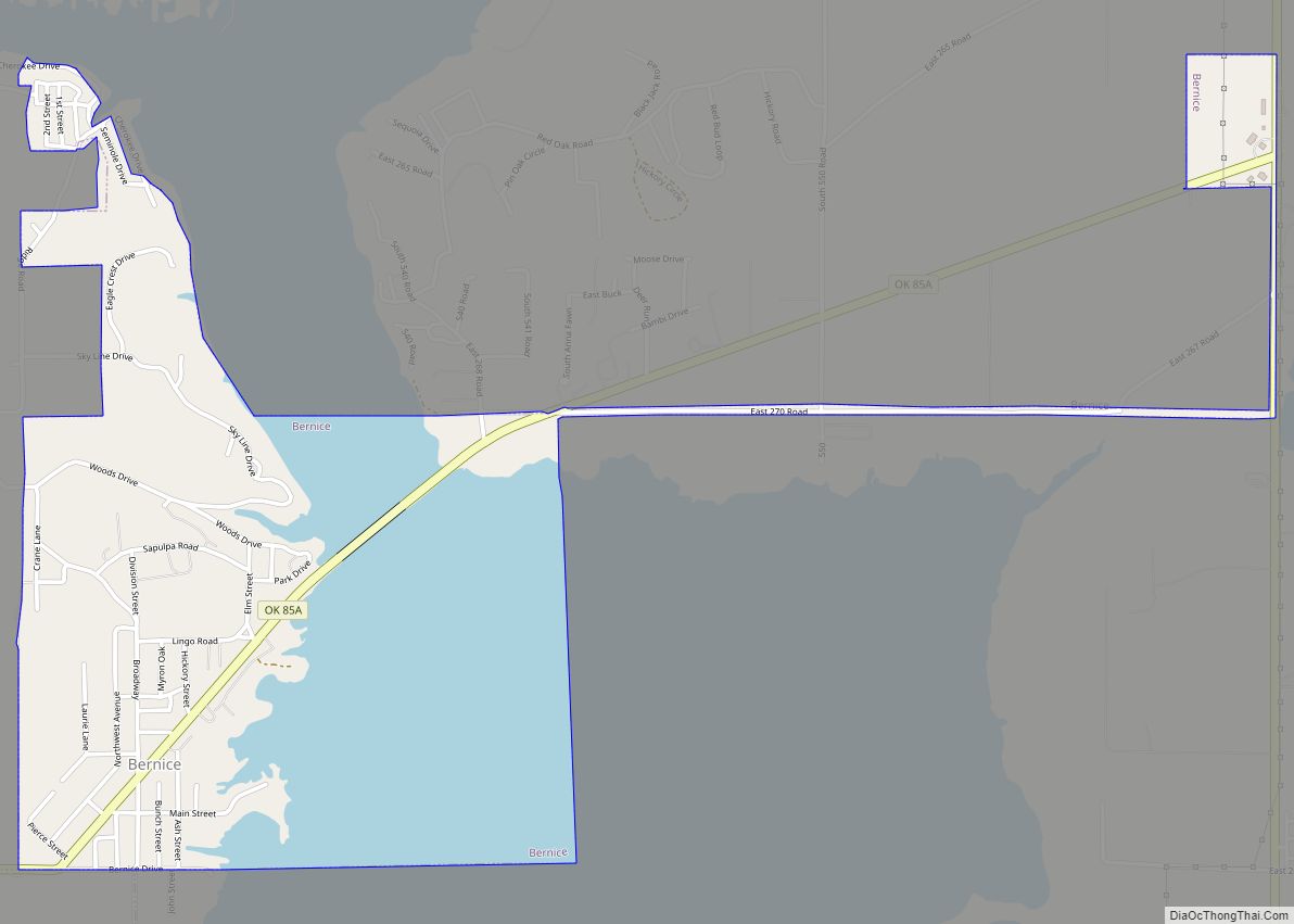
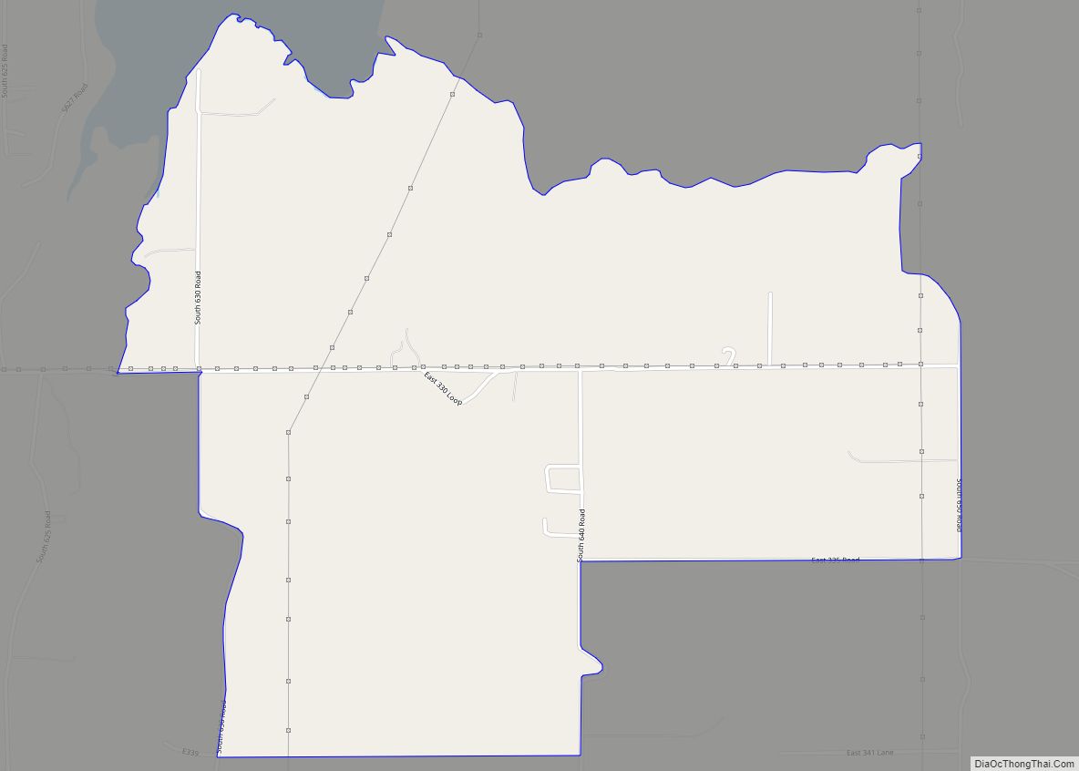
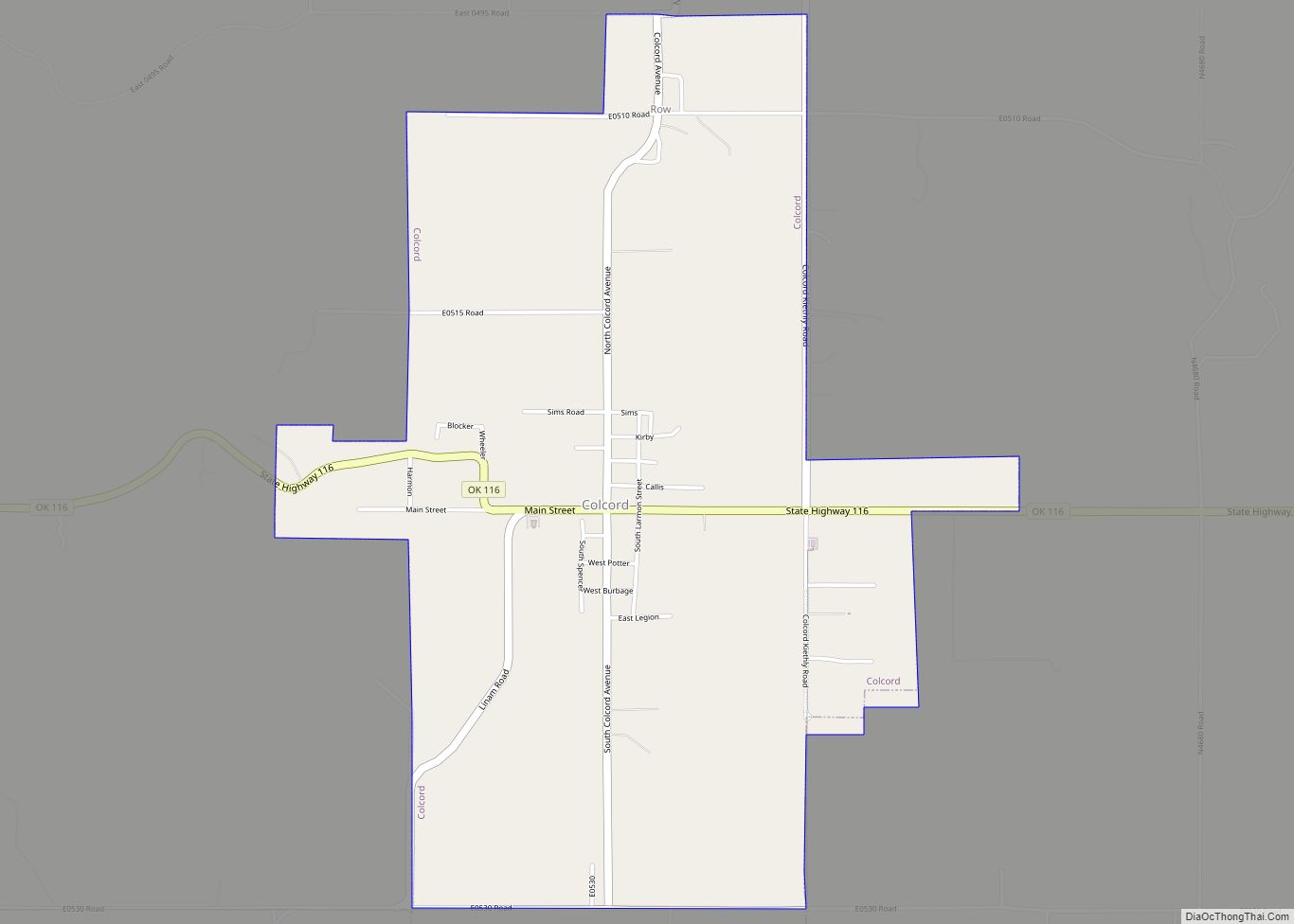
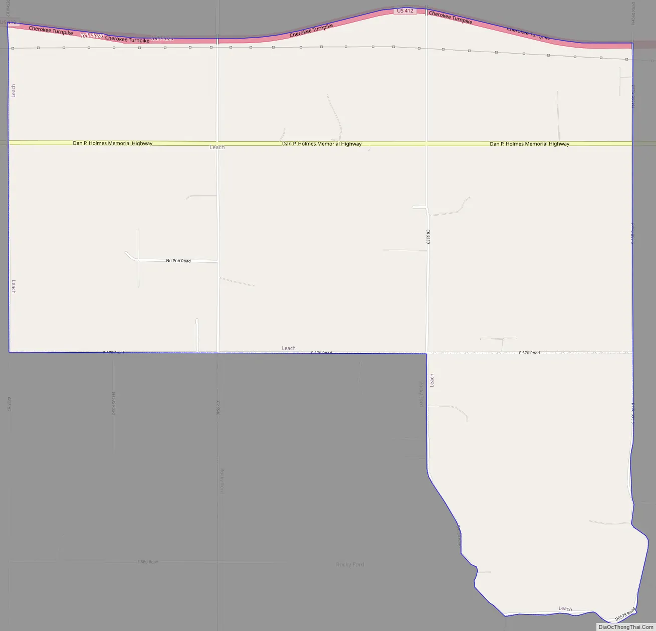
Leach Road Map
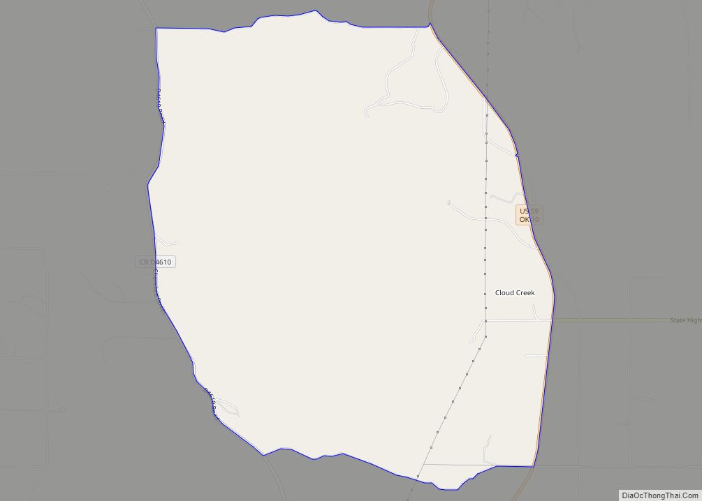
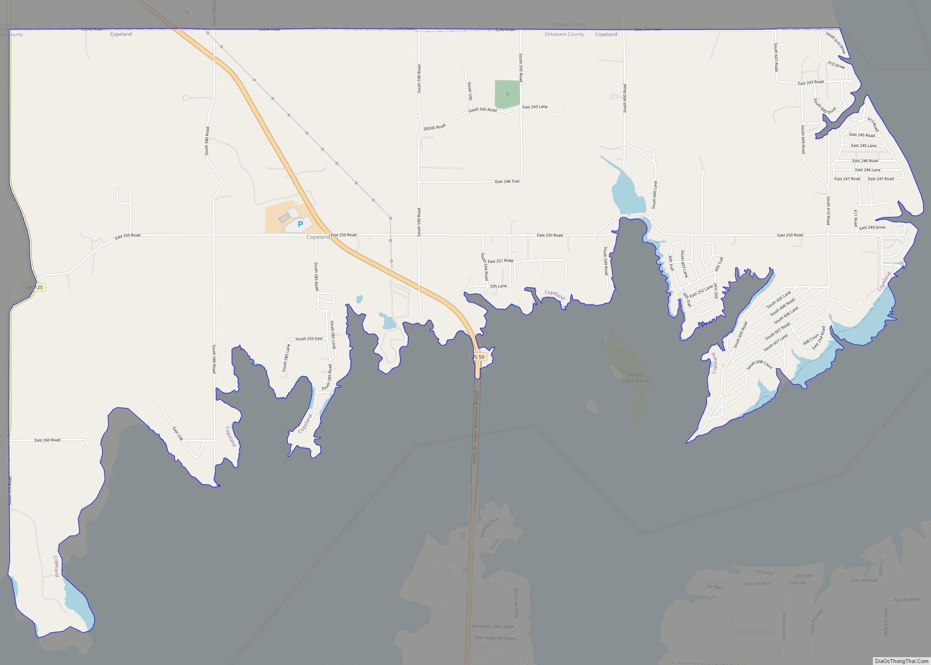
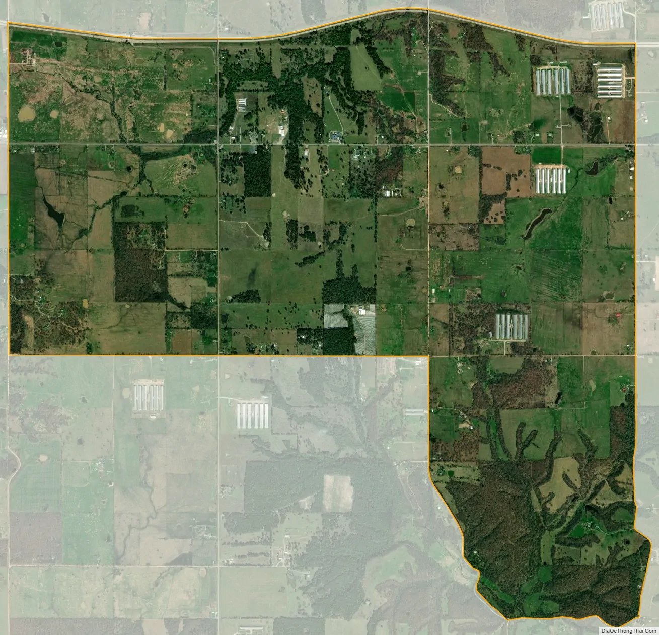
Leach city Satellite Map
Geography
Leach is located in southwestern Delaware County at 36°11′52″N 94°54′48″W / 36.19778°N 94.91333°W / 36.19778; -94.91333 (36.197845, -94.913359). It is 7 miles (11 km) west of the town of Kansas and 16 miles (26 km) east of Locust Grove.
According to the United States Census Bureau, the Leach CDP has a total area of 5.8 square miles (14.9 km), all land.
See also
Map of Oklahoma State and its subdivision:- Adair
- Alfalfa
- Atoka
- Beaver
- Beckham
- Blaine
- Bryan
- Caddo
- Canadian
- Carter
- Cherokee
- Choctaw
- Cimarron
- Cleveland
- Coal
- Comanche
- Cotton
- Craig
- Creek
- Custer
- Delaware
- Dewey
- Ellis
- Garfield
- Garvin
- Grady
- Grant
- Greer
- Harmon
- Harper
- Haskell
- Hughes
- Jackson
- Jefferson
- Johnston
- Kay
- Kingfisher
- Kiowa
- Latimer
- Le Flore
- Lincoln
- Logan
- Love
- Major
- Marshall
- Mayes
- McClain
- McCurtain
- McIntosh
- Murray
- Muskogee
- Noble
- Nowata
- Okfuskee
- Oklahoma
- Okmulgee
- Osage
- Ottawa
- Pawnee
- Payne
- Pittsburg
- Pontotoc
- Pottawatomie
- Pushmataha
- Roger Mills
- Rogers
- Seminole
- Sequoyah
- Stephens
- Texas
- Tillman
- Tulsa
- Wagoner
- Washington
- Washita
- Woods
- Woodward
- Alabama
- Alaska
- Arizona
- Arkansas
- California
- Colorado
- Connecticut
- Delaware
- District of Columbia
- Florida
- Georgia
- Hawaii
- Idaho
- Illinois
- Indiana
- Iowa
- Kansas
- Kentucky
- Louisiana
- Maine
- Maryland
- Massachusetts
- Michigan
- Minnesota
- Mississippi
- Missouri
- Montana
- Nebraska
- Nevada
- New Hampshire
- New Jersey
- New Mexico
- New York
- North Carolina
- North Dakota
- Ohio
- Oklahoma
- Oregon
- Pennsylvania
- Rhode Island
- South Carolina
- South Dakota
- Tennessee
- Texas
- Utah
- Vermont
- Virginia
- Washington
- West Virginia
- Wisconsin
- Wyoming