Moffett is a town in Sequoyah County, Oklahoma, United States. It is part of the Fort Smith, Arkansas-Oklahoma Metropolitan Statistical Area. The population was 128 at the 2010 census, a decline of 28.5 percent from the figure of 179 recorded in 2000.
| Name: | Moffett town |
|---|---|
| LSAD Code: | 43 |
| LSAD Description: | town (suffix) |
| State: | Oklahoma |
| County: | Sequoyah County |
| Elevation: | 413 ft (126 m) |
| Total Area: | 1.00 sq mi (2.58 km²) |
| Land Area: | 0.98 sq mi (2.54 km²) |
| Water Area: | 0.02 sq mi (0.04 km²) |
| Total Population: | 38 |
| Population Density: | 38.78/sq mi (14.97/km²) |
| ZIP code: | 74946 |
| Area code: | 539/918 |
| FIPS code: | 4049000 |
| GNISfeature ID: | 1095465 |
Online Interactive Map
Click on ![]() to view map in "full screen" mode.
to view map in "full screen" mode.
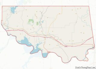
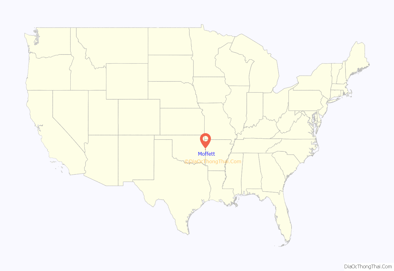
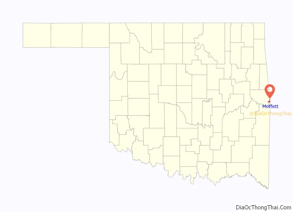
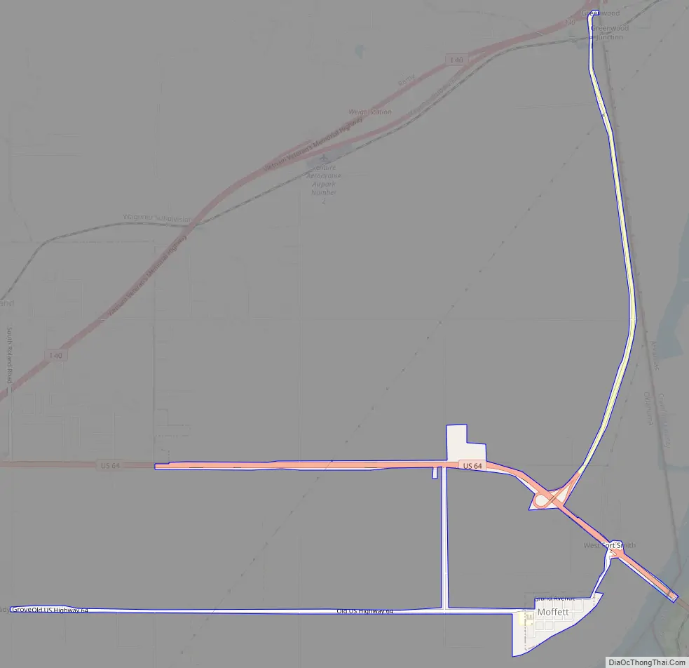
Moffett location map. Where is Moffett town?
History
After the Civil War, several Cherokee and Cherokee freedmen settled around the present community of Moffett. A post office was established in 1908 and was named for Martha Moffett Payne, wife of Dr. Samuel Payne. The town became an agricultural center, especially for cotton farmers.
Moffett incorporated in 1928. Its population was 340 at the 1930 census, and peaked at 538 in 1940. Before and during World War II, the town’s bars and gambling establishments attracted soldiers from nearby Fort Smith, Arkansas and Camp Chaffee. The U.S. Army declared Moffett “off limits” during the war, and kept the ban in place until the mid-1970s. The town began a long decline after World War II. The 1960 census counted 357 residents, and the decline has continued to the present.
Moffett’s history has included several damaging floods. The most notable of these occurred in 1943, 1957, 1986, 1990, and 2019.
In 2007, the town filed for Chapter 9 bankruptcy after Oklahoma’s attorney general declared it was operating a speed trap, and barred local police from issuing speeding citations. Without the steady stream of citation revenue generated from motorists passing through on U.S. Highway 64, the town was unable to manage the $200,000 in debts incurred by the former mayor.
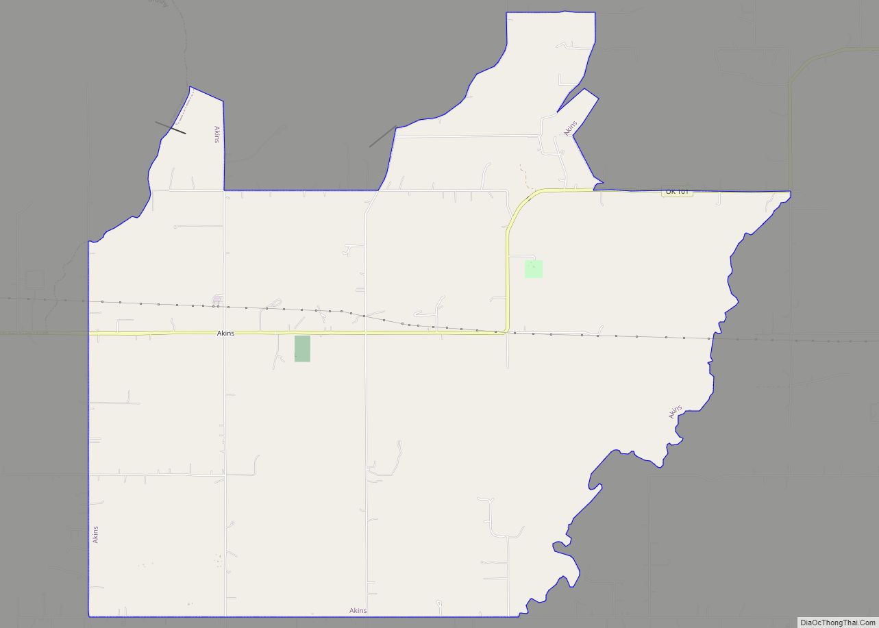
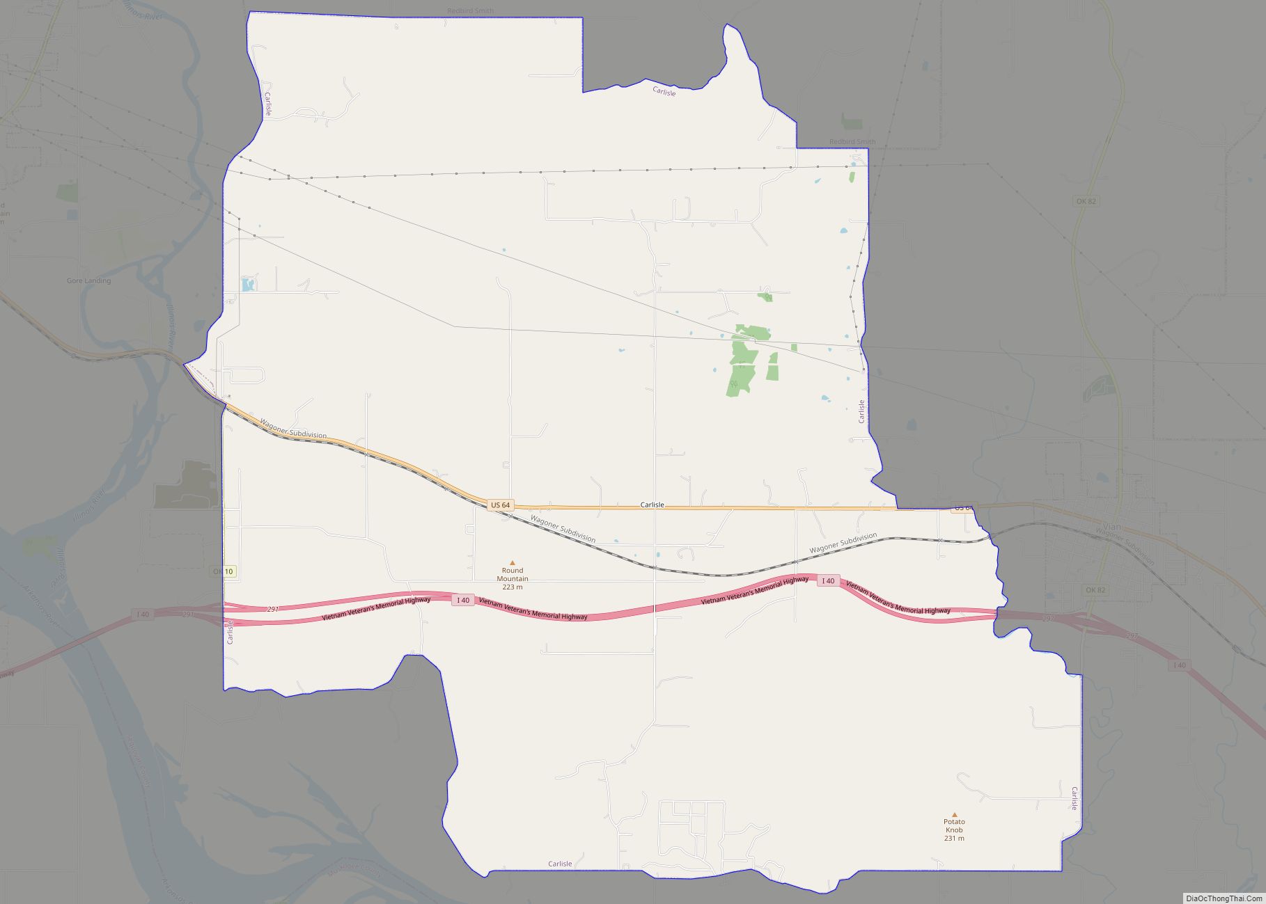
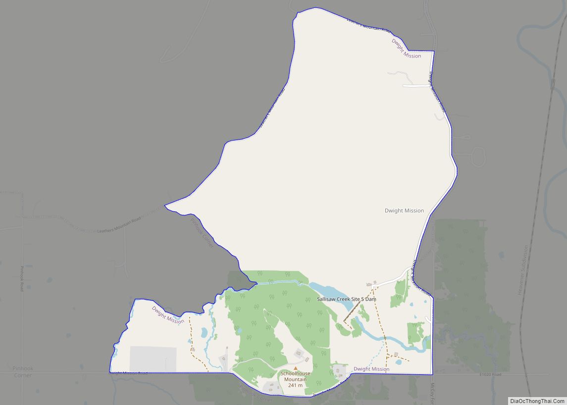
Moffett Road Map
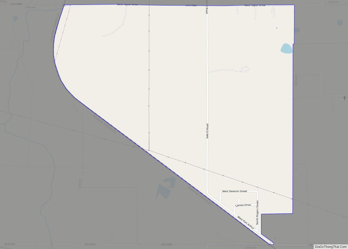
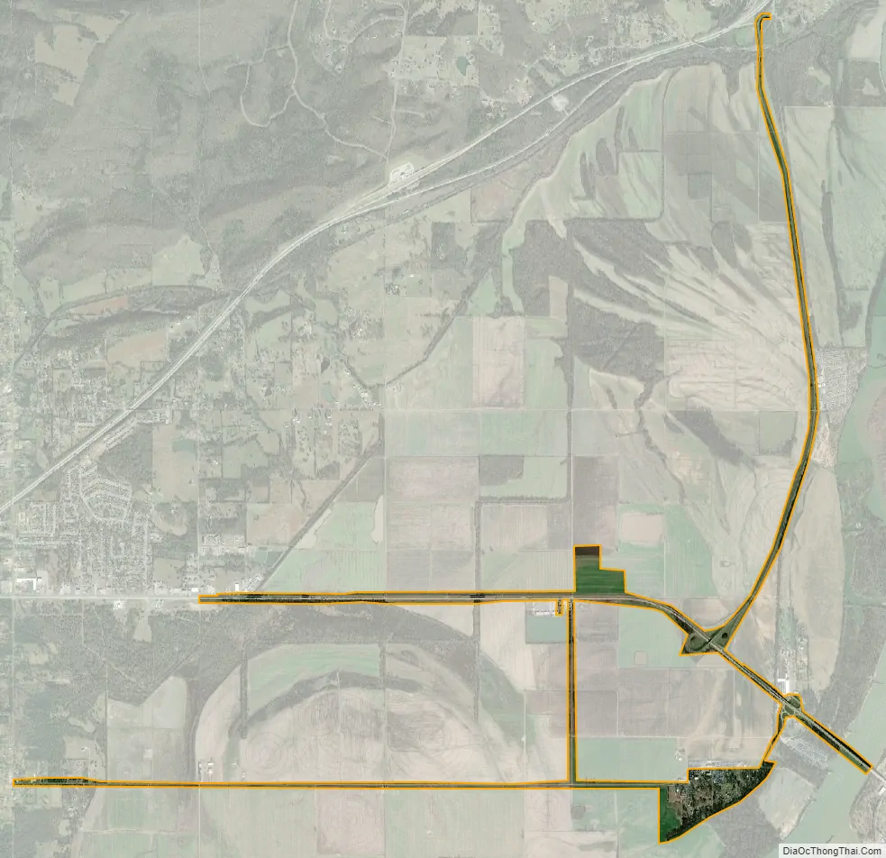
Moffett city Satellite Map
Geography
Moffett is located at 35°23′23″N 94°26′47″W / 35.38972°N 94.44639°W / 35.38972; -94.44639 (35.389791, -94.446286). The town is located in the Arkansas River floodplain, across the river from Fort Smith.
According to the United States Census Bureau, the town has a total area of 0.1 square miles (0.26 km), all land.
See also
Map of Oklahoma State and its subdivision:- Adair
- Alfalfa
- Atoka
- Beaver
- Beckham
- Blaine
- Bryan
- Caddo
- Canadian
- Carter
- Cherokee
- Choctaw
- Cimarron
- Cleveland
- Coal
- Comanche
- Cotton
- Craig
- Creek
- Custer
- Delaware
- Dewey
- Ellis
- Garfield
- Garvin
- Grady
- Grant
- Greer
- Harmon
- Harper
- Haskell
- Hughes
- Jackson
- Jefferson
- Johnston
- Kay
- Kingfisher
- Kiowa
- Latimer
- Le Flore
- Lincoln
- Logan
- Love
- Major
- Marshall
- Mayes
- McClain
- McCurtain
- McIntosh
- Murray
- Muskogee
- Noble
- Nowata
- Okfuskee
- Oklahoma
- Okmulgee
- Osage
- Ottawa
- Pawnee
- Payne
- Pittsburg
- Pontotoc
- Pottawatomie
- Pushmataha
- Roger Mills
- Rogers
- Seminole
- Sequoyah
- Stephens
- Texas
- Tillman
- Tulsa
- Wagoner
- Washington
- Washita
- Woods
- Woodward
- Alabama
- Alaska
- Arizona
- Arkansas
- California
- Colorado
- Connecticut
- Delaware
- District of Columbia
- Florida
- Georgia
- Hawaii
- Idaho
- Illinois
- Indiana
- Iowa
- Kansas
- Kentucky
- Louisiana
- Maine
- Maryland
- Massachusetts
- Michigan
- Minnesota
- Mississippi
- Missouri
- Montana
- Nebraska
- Nevada
- New Hampshire
- New Jersey
- New Mexico
- New York
- North Carolina
- North Dakota
- Ohio
- Oklahoma
- Oregon
- Pennsylvania
- Rhode Island
- South Carolina
- South Dakota
- Tennessee
- Texas
- Utah
- Vermont
- Virginia
- Washington
- West Virginia
- Wisconsin
- Wyoming