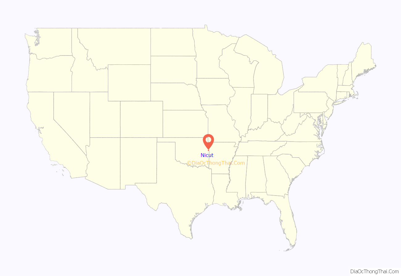
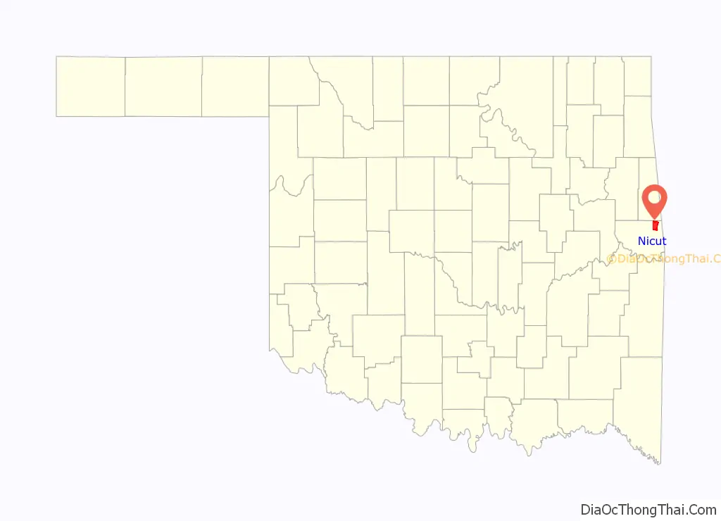
Nicut is an unincorporated community and census-designated place in Sequoyah County, Oklahoma, United States. Its population was 360 as of the 2010 census.
| Name: | Nicut CDP |
|---|---|
| LSAD Code: | 57 |
| LSAD Description: | CDP (suffix) |
| State: | Oklahoma |
| County: | Sequoyah County |
| Elevation: | 581 ft (177 m) |
| Total Area: | 16.32 sq mi (42.27 km²) |
| Land Area: | 16.19 sq mi (41.94 km²) |
| Water Area: | 0.13 sq mi (0.32 km²) |
| Total Population: | 286 |
| Population Density: | 17.66/sq mi (6.82/km²) |
| Area code: | 918 & 539 |
| FIPS code: | 4051900 |
| GNISfeature ID: | 1100673 |
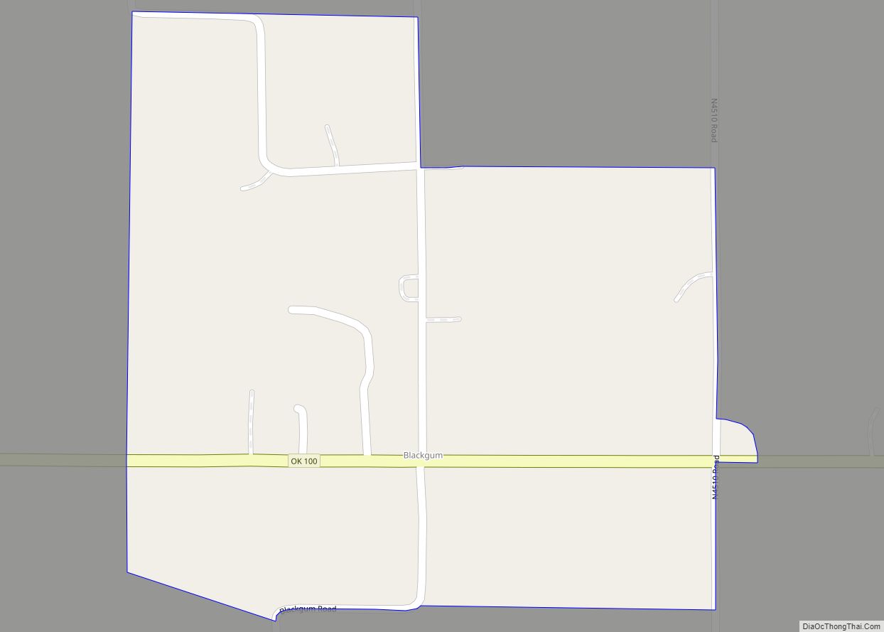
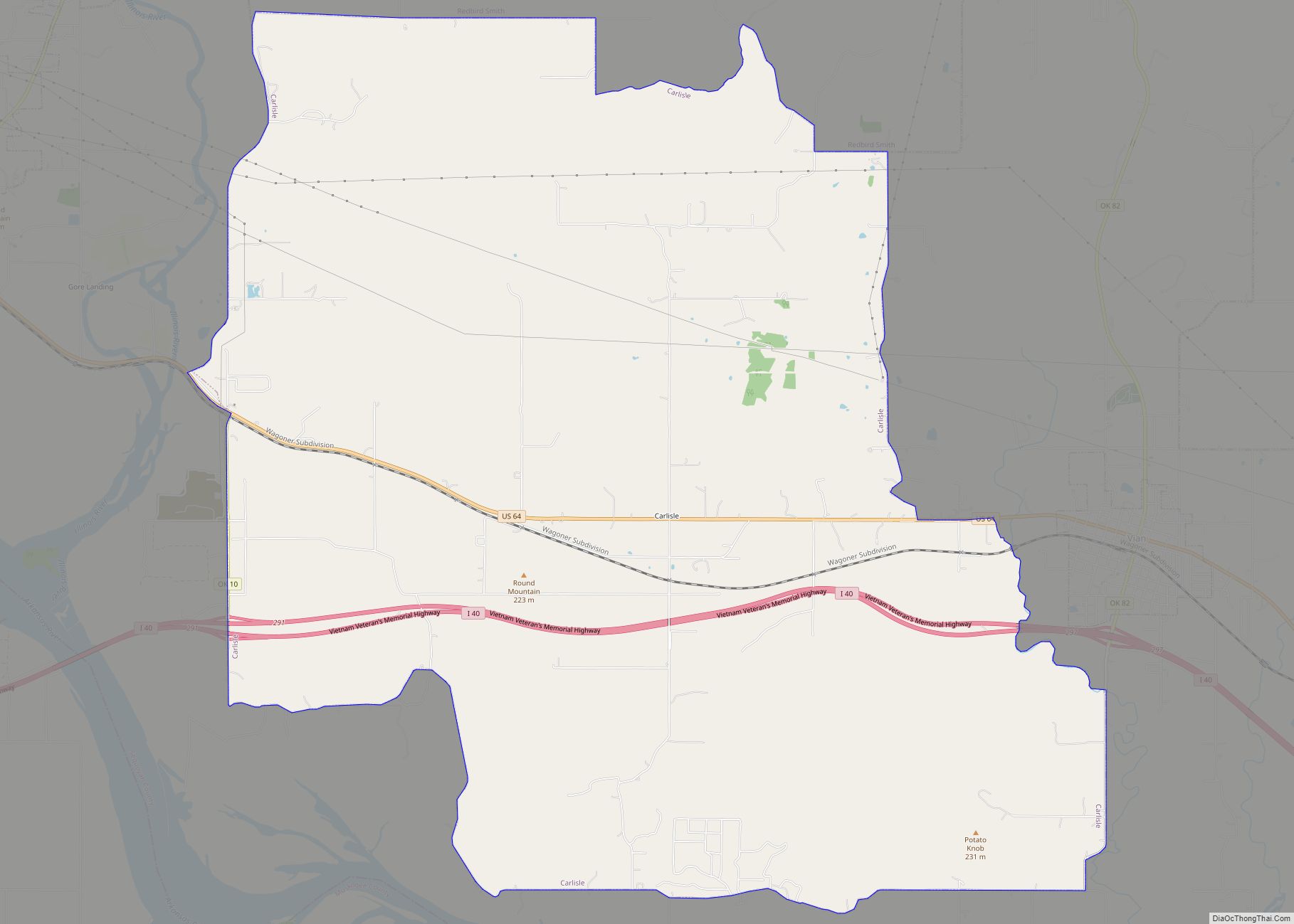
Online Interactive Map
Click on ![]() to view map in "full screen" mode.
to view map in "full screen" mode.
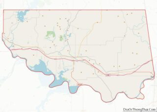
Nicut location map. Where is Nicut CDP?
History
Nicut was originally named Vrona; its post office changed its name on December 16, 1925. It was named for a “nigh cut”, or shortcut, on the road to Muldrow. The community’s post office closed on November 30, 1954.
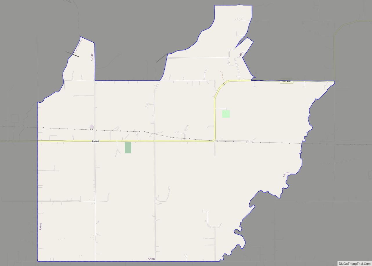
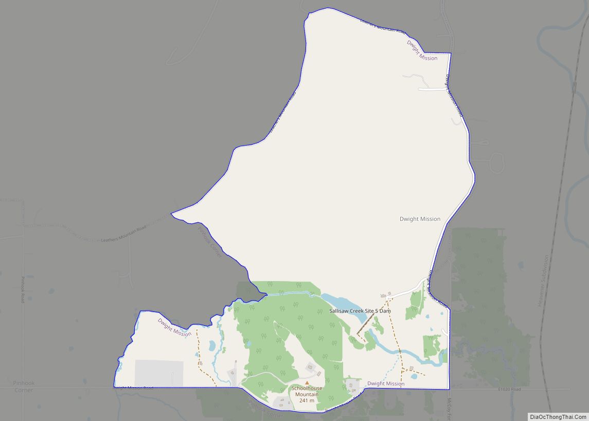
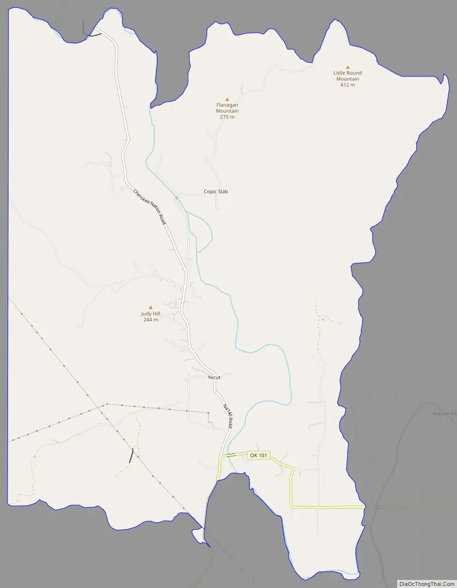
Nicut Road Map
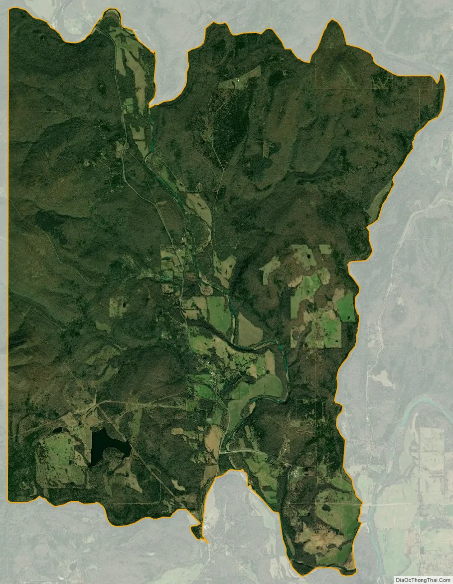
Nicut city Satellite Map
Geography
According to the U.S. Census Bureau, the community has an area of 16.299 square miles (42.21 km); 16.181 square miles (41.91 km) of its area is land, and 0.118 square miles (0.31 km) is water.
See also
Map of Oklahoma State and its subdivision:- Adair
- Alfalfa
- Atoka
- Beaver
- Beckham
- Blaine
- Bryan
- Caddo
- Canadian
- Carter
- Cherokee
- Choctaw
- Cimarron
- Cleveland
- Coal
- Comanche
- Cotton
- Craig
- Creek
- Custer
- Delaware
- Dewey
- Ellis
- Garfield
- Garvin
- Grady
- Grant
- Greer
- Harmon
- Harper
- Haskell
- Hughes
- Jackson
- Jefferson
- Johnston
- Kay
- Kingfisher
- Kiowa
- Latimer
- Le Flore
- Lincoln
- Logan
- Love
- Major
- Marshall
- Mayes
- McClain
- McCurtain
- McIntosh
- Murray
- Muskogee
- Noble
- Nowata
- Okfuskee
- Oklahoma
- Okmulgee
- Osage
- Ottawa
- Pawnee
- Payne
- Pittsburg
- Pontotoc
- Pottawatomie
- Pushmataha
- Roger Mills
- Rogers
- Seminole
- Sequoyah
- Stephens
- Texas
- Tillman
- Tulsa
- Wagoner
- Washington
- Washita
- Woods
- Woodward
- Alabama
- Alaska
- Arizona
- Arkansas
- California
- Colorado
- Connecticut
- Delaware
- District of Columbia
- Florida
- Georgia
- Hawaii
- Idaho
- Illinois
- Indiana
- Iowa
- Kansas
- Kentucky
- Louisiana
- Maine
- Maryland
- Massachusetts
- Michigan
- Minnesota
- Mississippi
- Missouri
- Montana
- Nebraska
- Nevada
- New Hampshire
- New Jersey
- New Mexico
- New York
- North Carolina
- North Dakota
- Ohio
- Oklahoma
- Oregon
- Pennsylvania
- Rhode Island
- South Carolina
- South Dakota
- Tennessee
- Texas
- Utah
- Vermont
- Virginia
- Washington
- West Virginia
- Wisconsin
- Wyoming