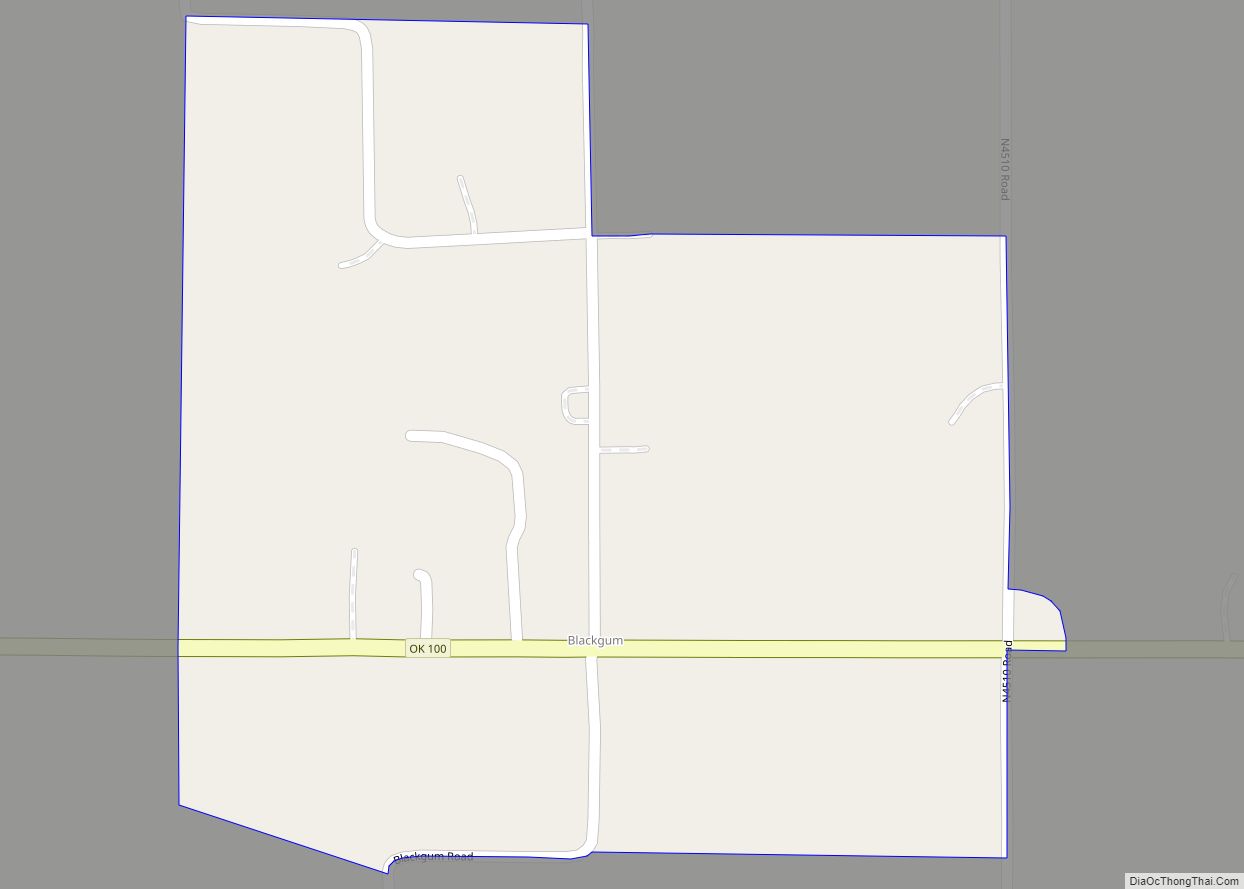
Paradise Hill is a town in the northwest corner of Sequoyah County, Oklahoma, United States. It is part of the Fort Smith, Arkansas-Oklahoma Metropolitan Statistical Area. The population was 85 at the 2010 census, a decline from the figure of 100 recorded in 2000.
| Name: | Paradise Hill town |
|---|---|
| LSAD Code: | 43 |
| LSAD Description: | town (suffix) |
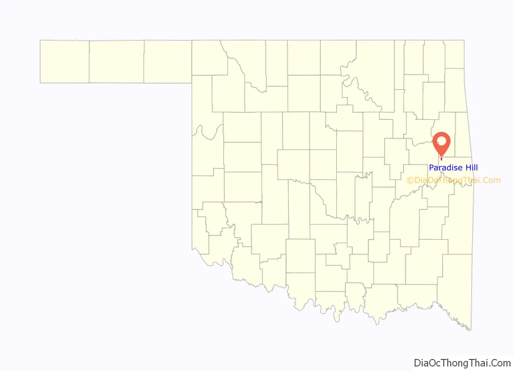
| State: | Oklahoma |
| County: | Sequoyah County |
| Elevation: | 846 ft (258 m) |
| Total Area: | 0.56 sq mi (1.46 km²) |
| Land Area: | 0.56 sq mi (1.45 km²) |
| Water Area: | 0.00 sq mi (0.00 km²) |
| Total Population: | 73 |
| Population Density: | 129.89/sq mi (50.19/km²) |
| FIPS code: | 4057150 |
| GNISfeature ID: | 1096427 |
Online Interactive Map
Click on ![]() to view map in "full screen" mode.
to view map in "full screen" mode.
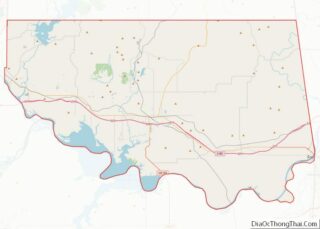
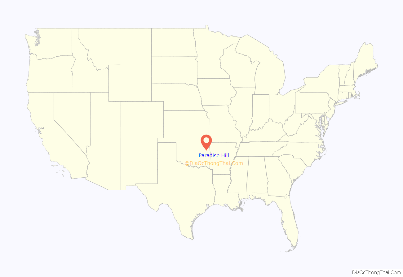
Paradise Hill location map. Where is Paradise Hill town?
History
Paradise Hill is a relatively new town, having originated in 1954 on the shore of Tenkiller Ferry Lake. There were 47 permanent homes by 1962. The town had already incorporated and owned its own water system. It more than doubled its physical size by 1969 by annexing adjacent land.
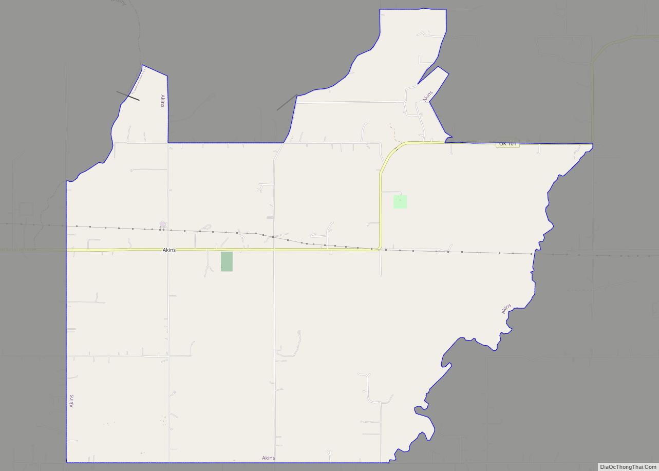
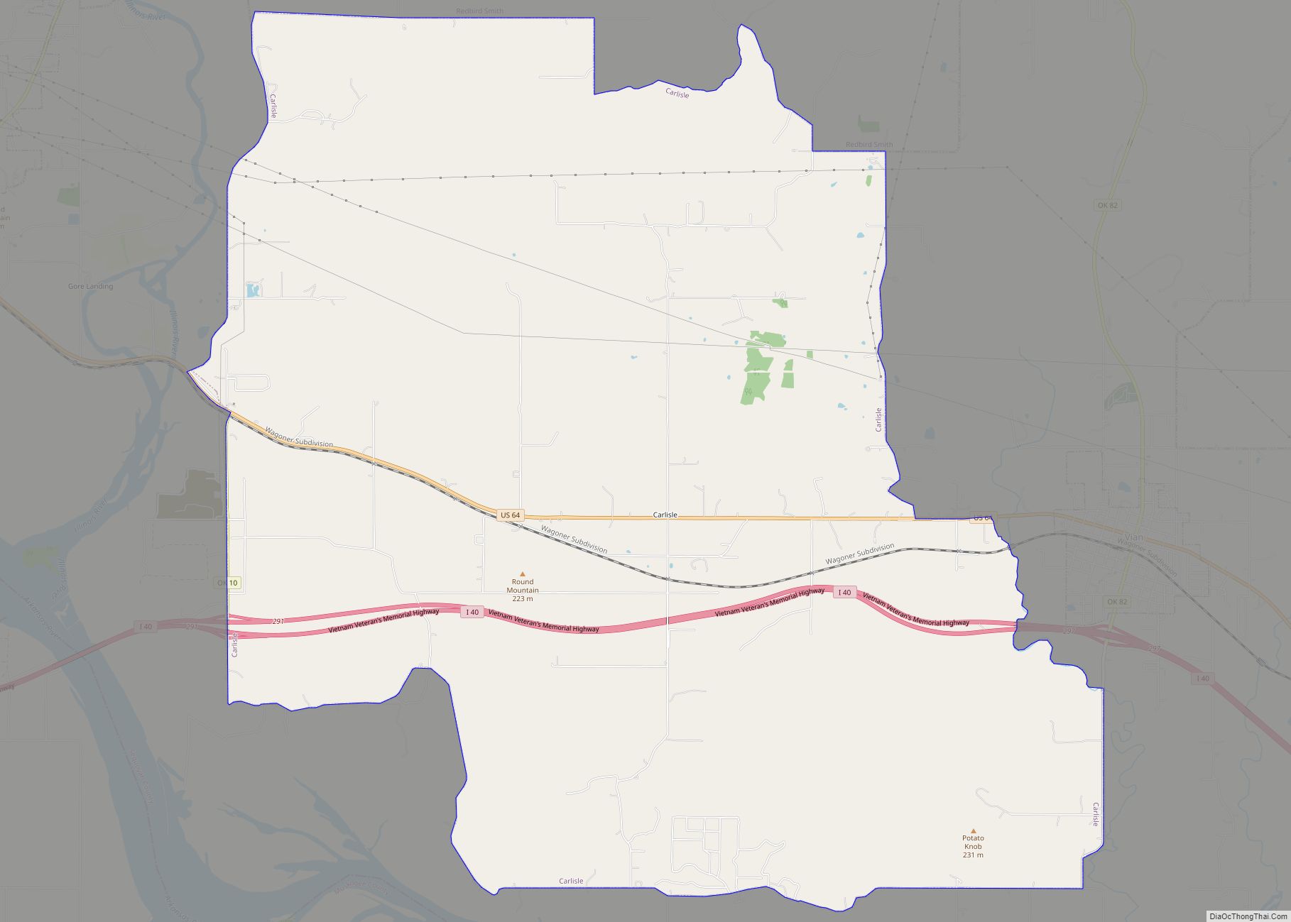
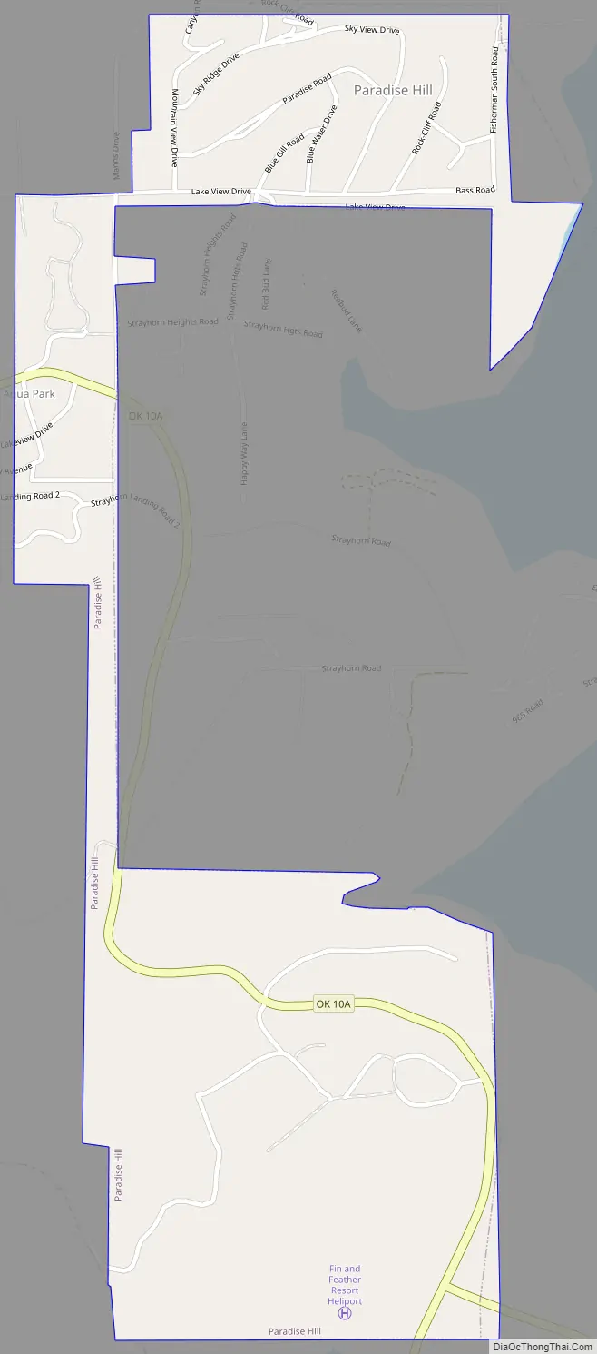
Paradise Hill Road Map
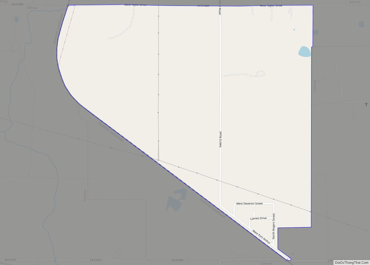
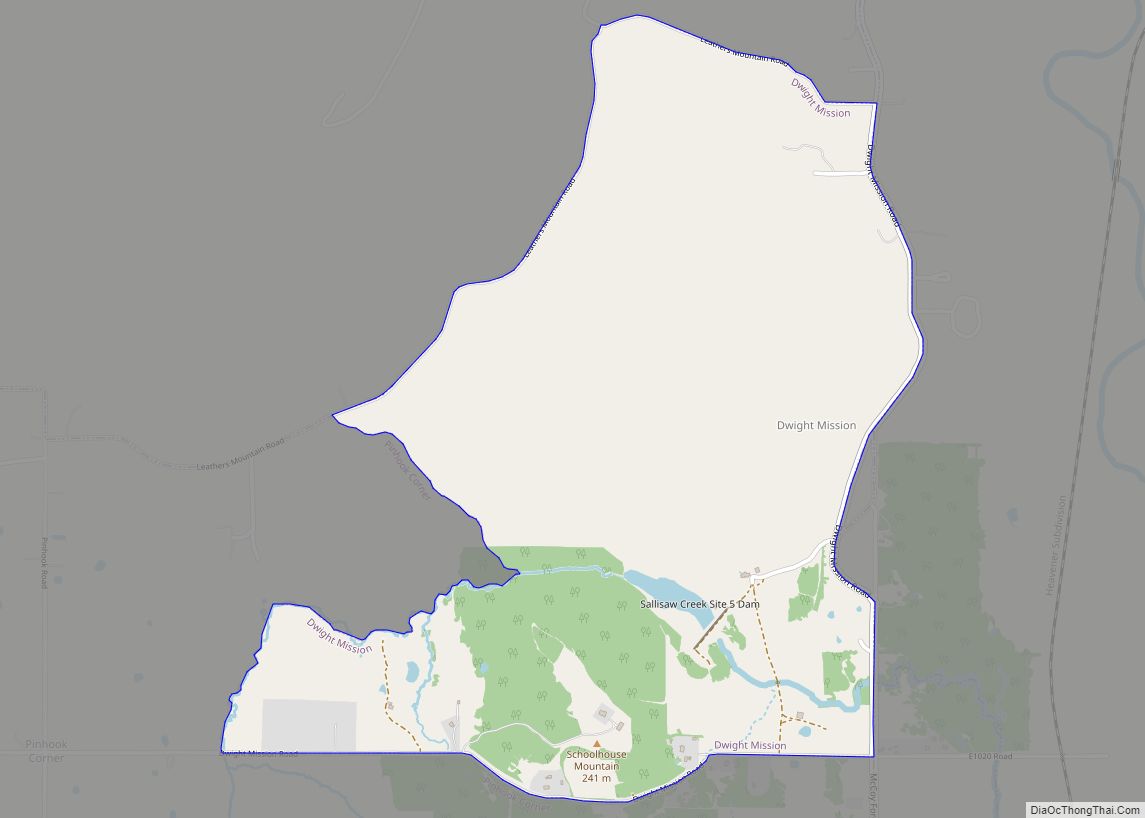
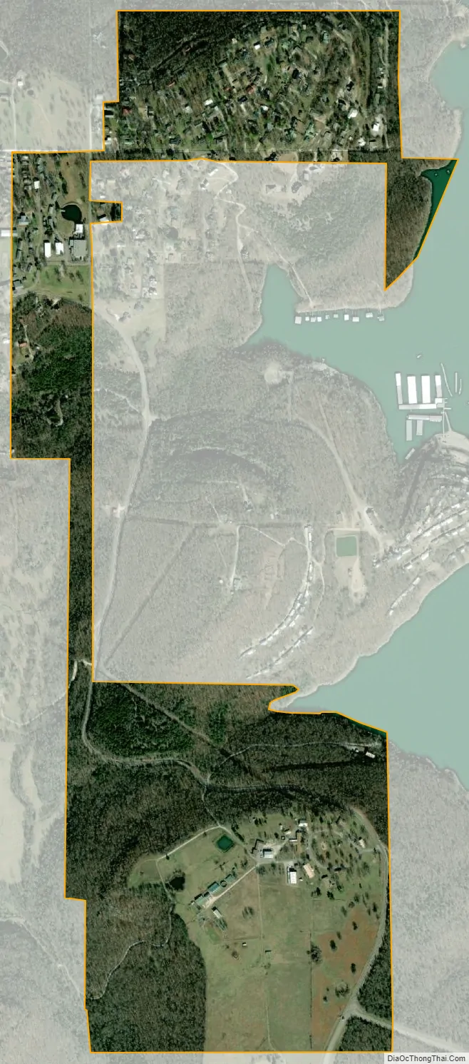
Paradise Hill city Satellite Map
Geography
Paradise Hill is located at 35°37′26″N 95°4′14″W / 35.62389°N 95.07056°W / 35.62389; -95.07056 (35.624009, -95.070563).
According to the United States Census Bureau, the town has a total area of 0.5 square miles (1.3 km), of which 0.5 square miles (1.3 km) is land and 1.89% is water.
See also
Map of Oklahoma State and its subdivision:- Adair
- Alfalfa
- Atoka
- Beaver
- Beckham
- Blaine
- Bryan
- Caddo
- Canadian
- Carter
- Cherokee
- Choctaw
- Cimarron
- Cleveland
- Coal
- Comanche
- Cotton
- Craig
- Creek
- Custer
- Delaware
- Dewey
- Ellis
- Garfield
- Garvin
- Grady
- Grant
- Greer
- Harmon
- Harper
- Haskell
- Hughes
- Jackson
- Jefferson
- Johnston
- Kay
- Kingfisher
- Kiowa
- Latimer
- Le Flore
- Lincoln
- Logan
- Love
- Major
- Marshall
- Mayes
- McClain
- McCurtain
- McIntosh
- Murray
- Muskogee
- Noble
- Nowata
- Okfuskee
- Oklahoma
- Okmulgee
- Osage
- Ottawa
- Pawnee
- Payne
- Pittsburg
- Pontotoc
- Pottawatomie
- Pushmataha
- Roger Mills
- Rogers
- Seminole
- Sequoyah
- Stephens
- Texas
- Tillman
- Tulsa
- Wagoner
- Washington
- Washita
- Woods
- Woodward
- Alabama
- Alaska
- Arizona
- Arkansas
- California
- Colorado
- Connecticut
- Delaware
- District of Columbia
- Florida
- Georgia
- Hawaii
- Idaho
- Illinois
- Indiana
- Iowa
- Kansas
- Kentucky
- Louisiana
- Maine
- Maryland
- Massachusetts
- Michigan
- Minnesota
- Mississippi
- Missouri
- Montana
- Nebraska
- Nevada
- New Hampshire
- New Jersey
- New Mexico
- New York
- North Carolina
- North Dakota
- Ohio
- Oklahoma
- Oregon
- Pennsylvania
- Rhode Island
- South Carolina
- South Dakota
- Tennessee
- Texas
- Utah
- Vermont
- Virginia
- Washington
- West Virginia
- Wisconsin
- Wyoming