Pettit is an unincorporated community and census-designated place (CDP) in Cherokee County, Oklahoma, United States. The population was 954 at the 2010 census, a 23.7 percent increase over the figure of 771 recorded in 2000. The town was named for Mark and Eliza Pettit, townsite allottees.
| Name: | Pettit CDP |
|---|---|
| LSAD Code: | 57 |
| LSAD Description: | CDP (suffix) |
| State: | Oklahoma |
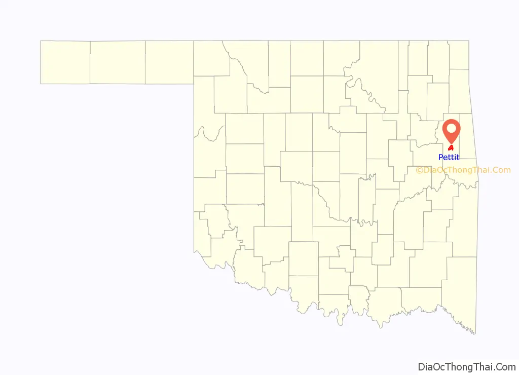
| County: | Cherokee County |
| Elevation: | 686 ft (209 m) |
| Total Area: | 11.23 sq mi (29.09 km²) |
| Land Area: | 11.22 sq mi (29.05 km²) |
| Water Area: | 0.01 sq mi (0.04 km²) |
| Total Population: | 829 |
| Population Density: | 73.91/sq mi (28.54/km²) |
| ZIP code: | 74451 |
| Area code: | 539/918 |
| FIPS code: | 4058400 |
| GNISfeature ID: | 1100734 |
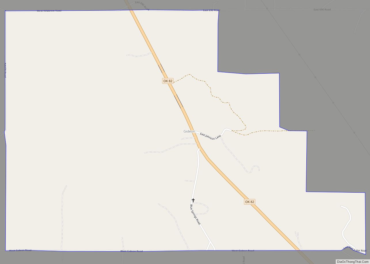
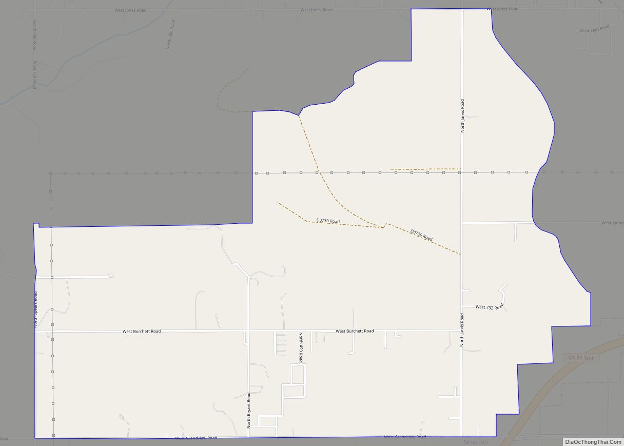
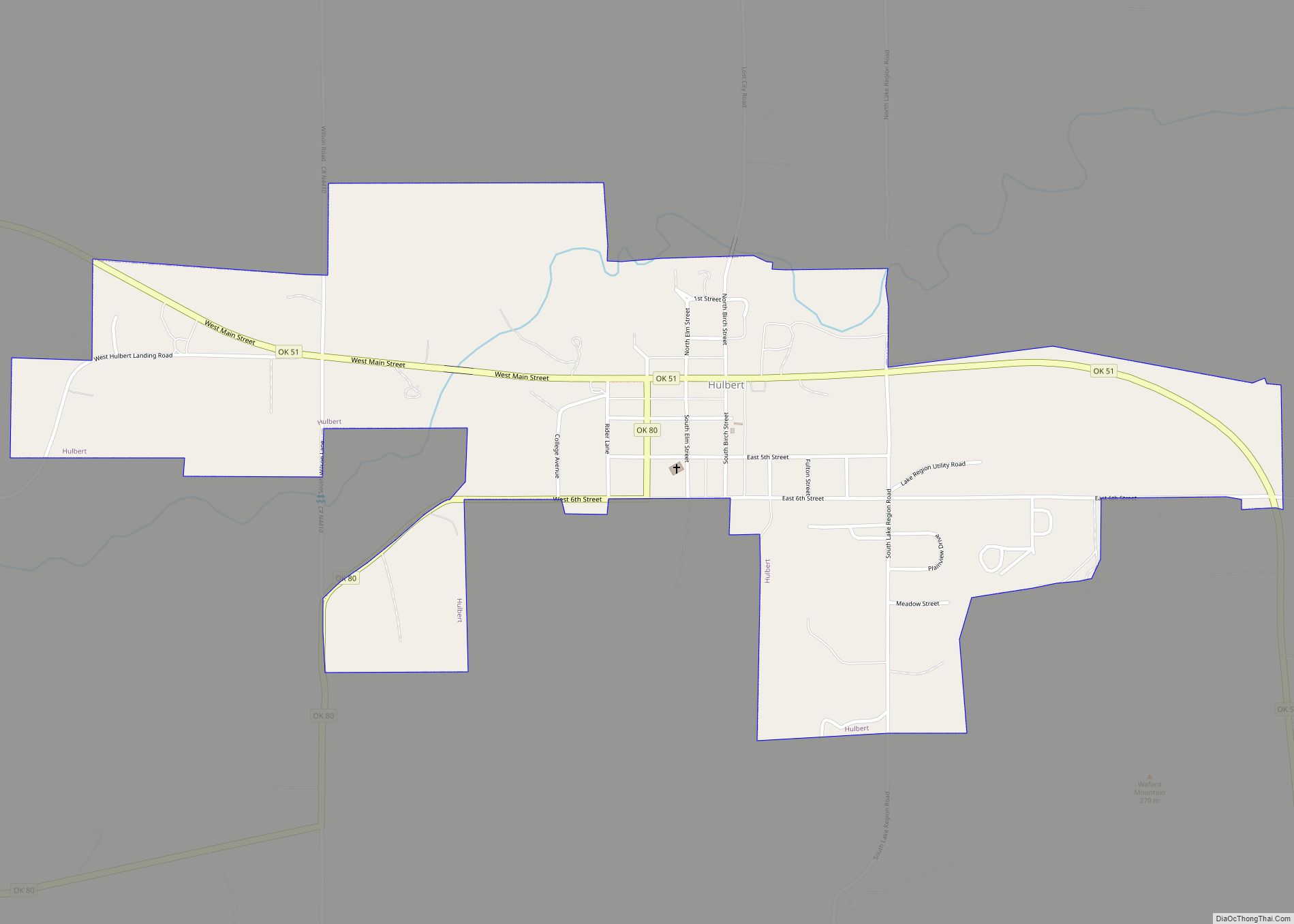
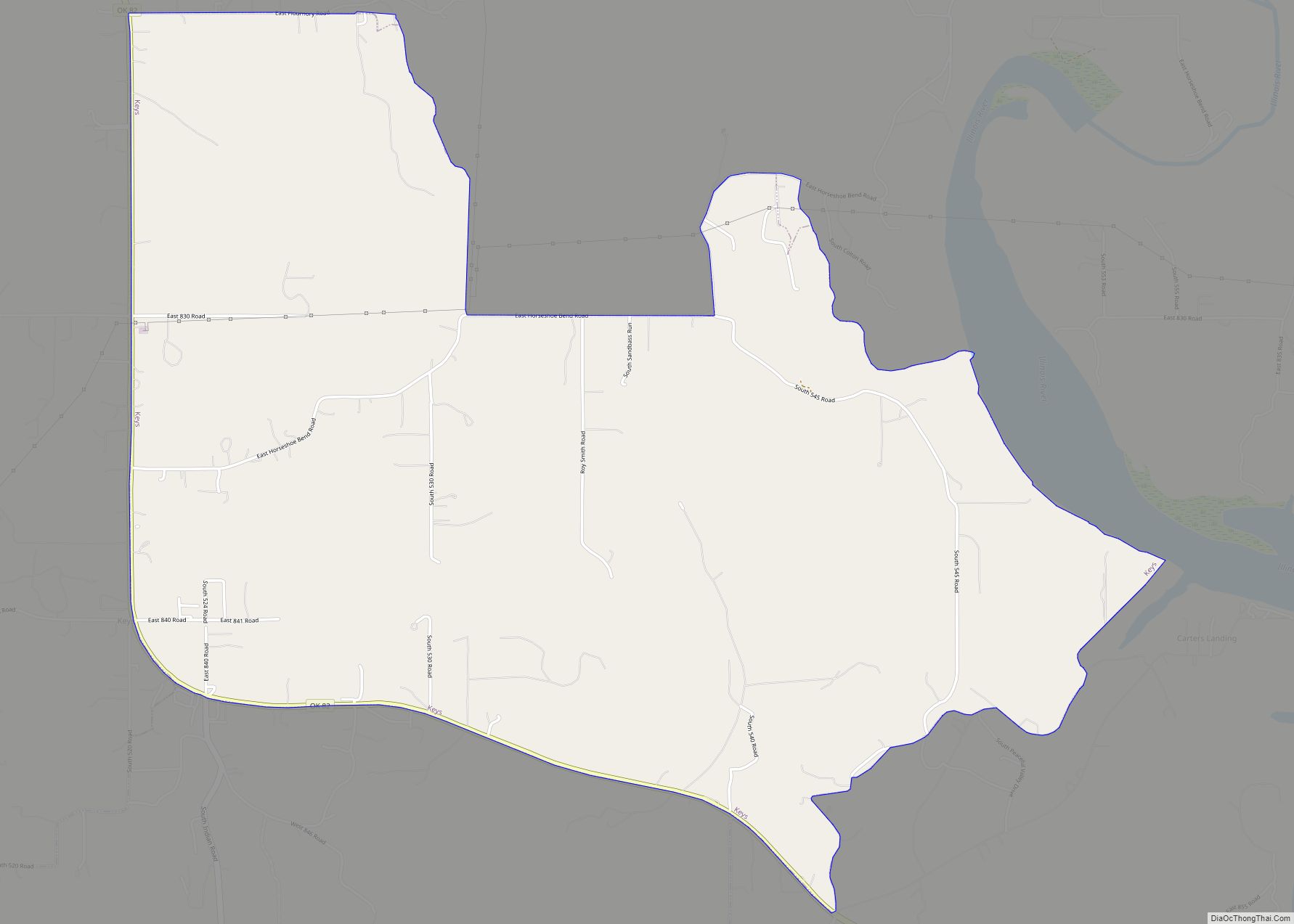
Online Interactive Map
Click on ![]() to view map in "full screen" mode.
to view map in "full screen" mode.
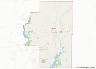
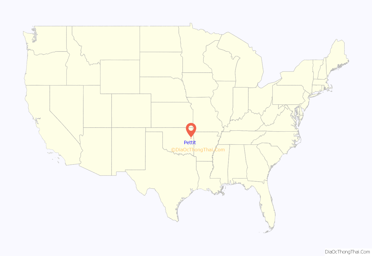
Pettit location map. Where is Pettit CDP?
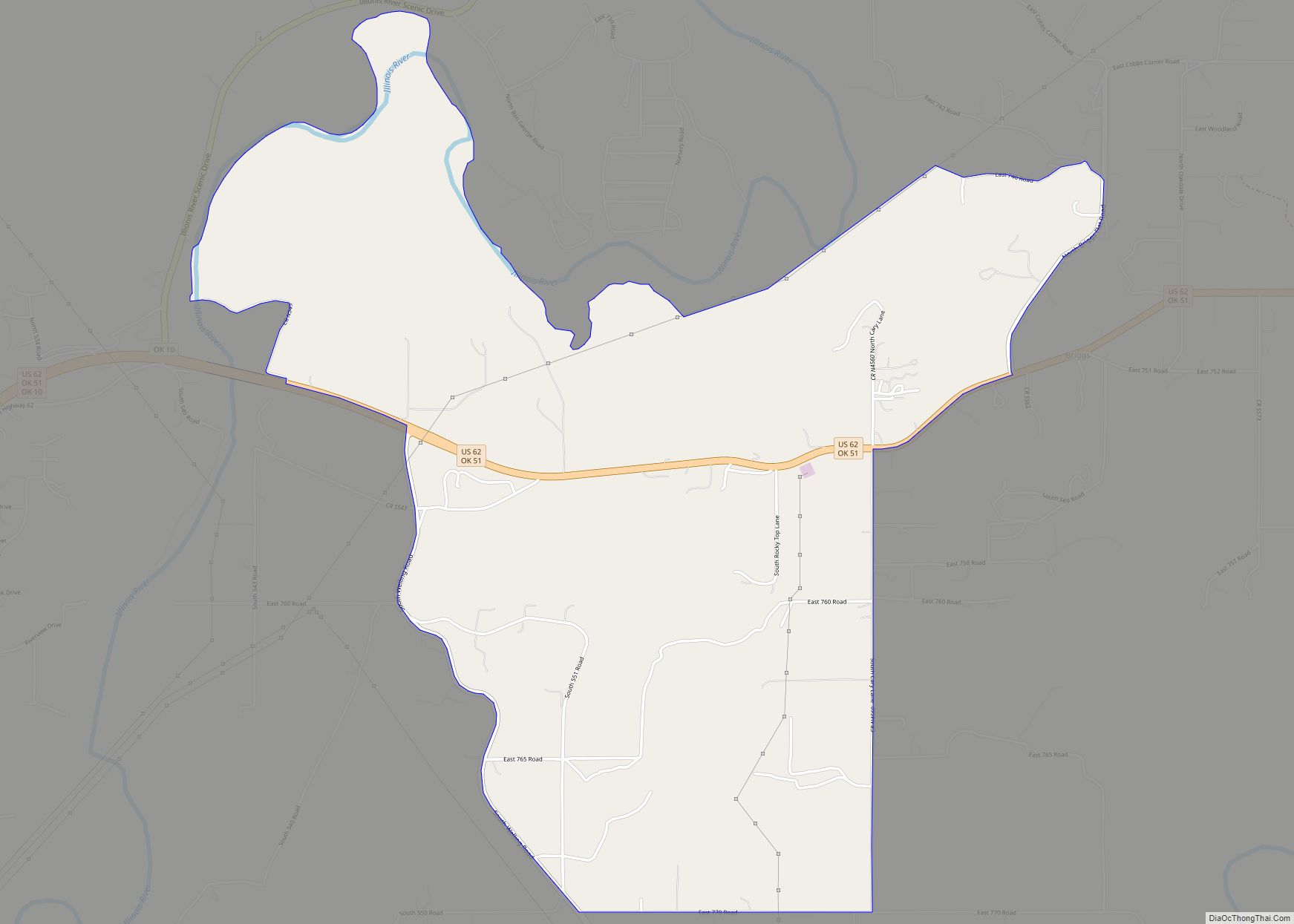
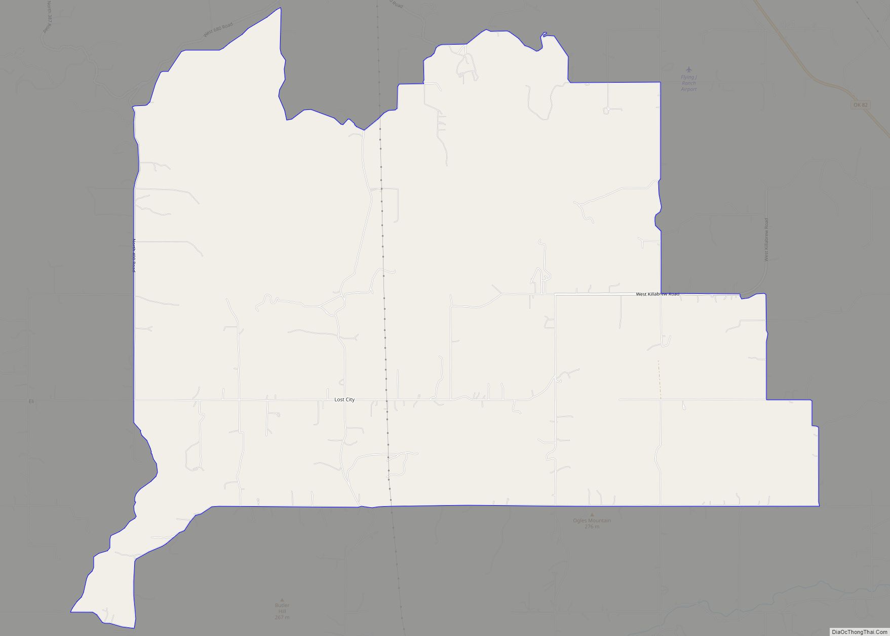
Pettit Road Map
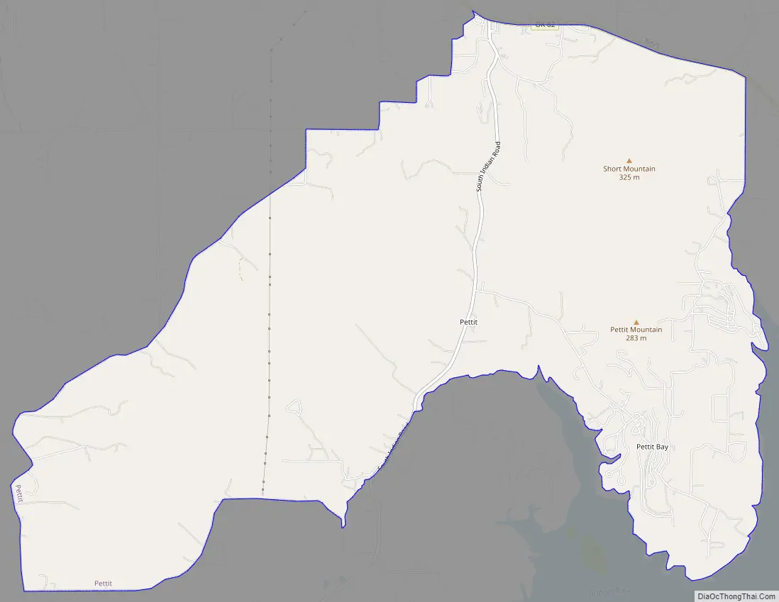
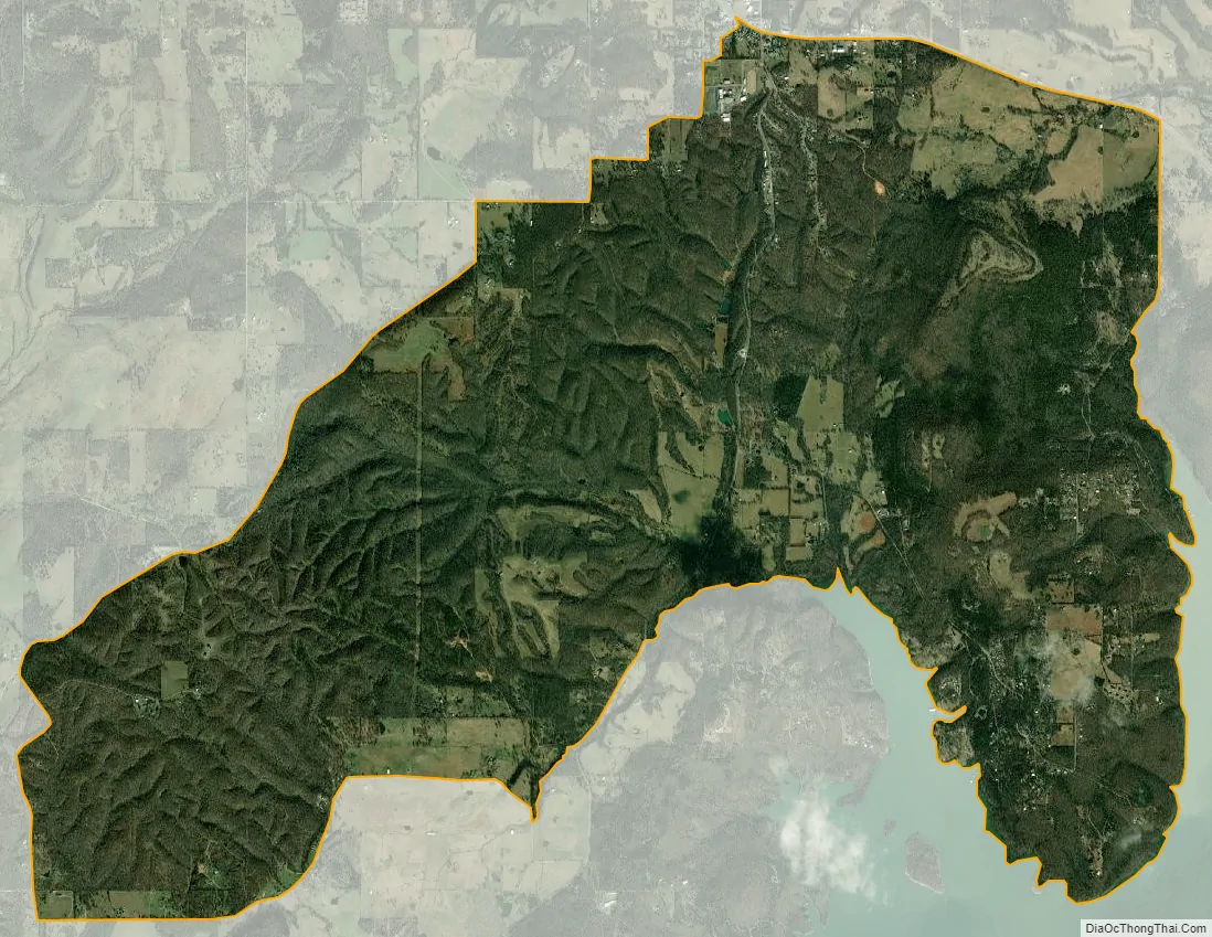
Pettit city Satellite Map
Geography
Pettit is located at 35°45′20″N 94°56′57″W / 35.75556°N 94.94917°W / 35.75556; -94.94917 (35.755558, -94.949116).
According to the United States Census Bureau, the CDP has a total area of 11.6 square miles (30 km), all land.
The community borders Lake Tenkiller on the southeast, and Pettit Bay Public Use Area is across the lake arm from Pettit.
See also
Map of Oklahoma State and its subdivision:- Adair
- Alfalfa
- Atoka
- Beaver
- Beckham
- Blaine
- Bryan
- Caddo
- Canadian
- Carter
- Cherokee
- Choctaw
- Cimarron
- Cleveland
- Coal
- Comanche
- Cotton
- Craig
- Creek
- Custer
- Delaware
- Dewey
- Ellis
- Garfield
- Garvin
- Grady
- Grant
- Greer
- Harmon
- Harper
- Haskell
- Hughes
- Jackson
- Jefferson
- Johnston
- Kay
- Kingfisher
- Kiowa
- Latimer
- Le Flore
- Lincoln
- Logan
- Love
- Major
- Marshall
- Mayes
- McClain
- McCurtain
- McIntosh
- Murray
- Muskogee
- Noble
- Nowata
- Okfuskee
- Oklahoma
- Okmulgee
- Osage
- Ottawa
- Pawnee
- Payne
- Pittsburg
- Pontotoc
- Pottawatomie
- Pushmataha
- Roger Mills
- Rogers
- Seminole
- Sequoyah
- Stephens
- Texas
- Tillman
- Tulsa
- Wagoner
- Washington
- Washita
- Woods
- Woodward
- Alabama
- Alaska
- Arizona
- Arkansas
- California
- Colorado
- Connecticut
- Delaware
- District of Columbia
- Florida
- Georgia
- Hawaii
- Idaho
- Illinois
- Indiana
- Iowa
- Kansas
- Kentucky
- Louisiana
- Maine
- Maryland
- Massachusetts
- Michigan
- Minnesota
- Mississippi
- Missouri
- Montana
- Nebraska
- Nevada
- New Hampshire
- New Jersey
- New Mexico
- New York
- North Carolina
- North Dakota
- Ohio
- Oklahoma
- Oregon
- Pennsylvania
- Rhode Island
- South Carolina
- South Dakota
- Tennessee
- Texas
- Utah
- Vermont
- Virginia
- Washington
- West Virginia
- Wisconsin
- Wyoming