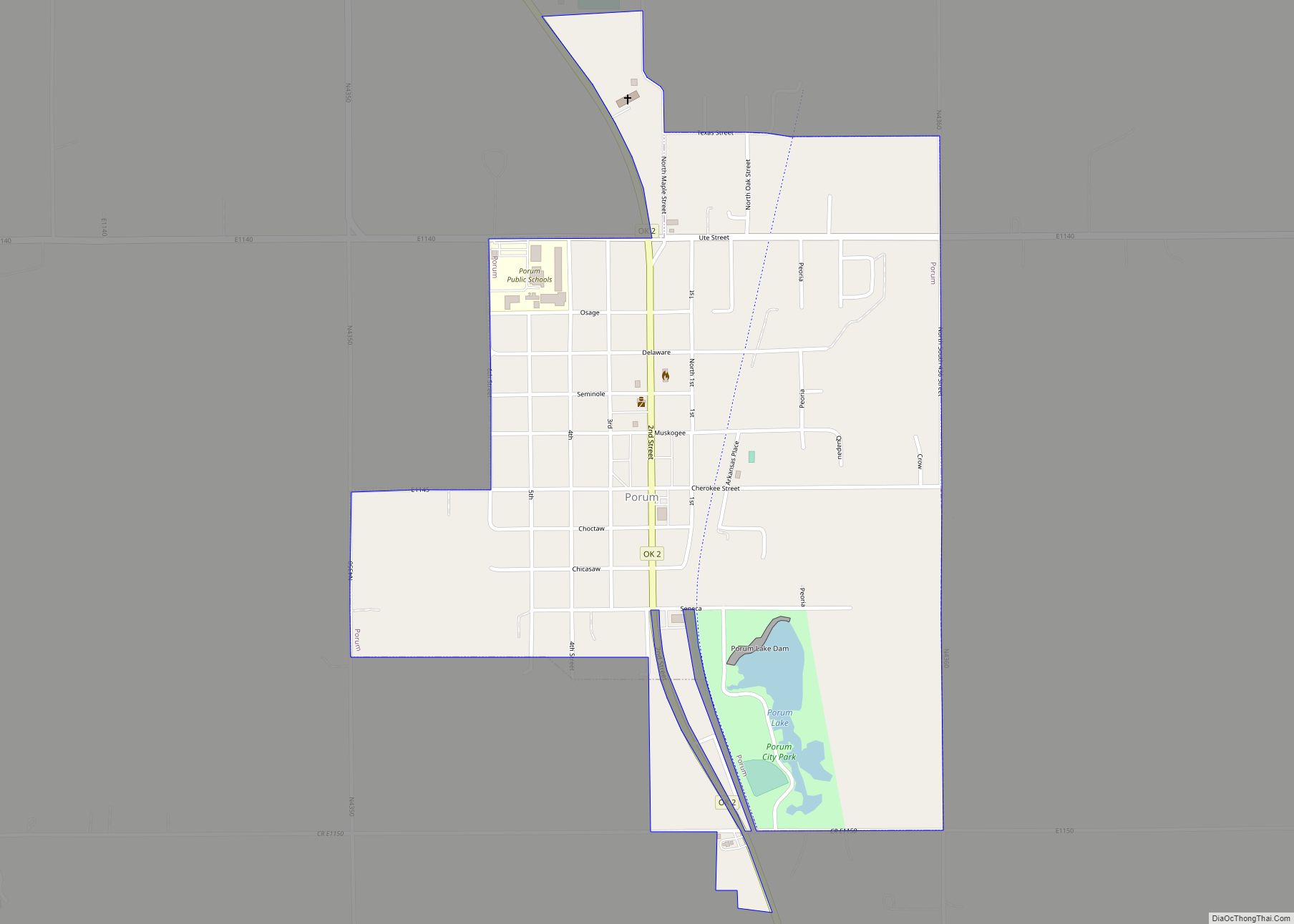
Porum is a town in Muskogee County, Oklahoma, United States. It was named for John Porum Davis, a rancher, Civil War veteran, and Cherokee Nation councilman from the Canadian District in Indian Territory. The community was first known as Porum Gap, which united with another village named Starvilla in 1905. The product of this union became the present town of Porum. The population was 727 at the 2010 census, an increase of 0.3 percent from the figure of 725 recorded in 2000.
| Name: | Porum town |
|---|---|
| LSAD Code: | 43 |
| LSAD Description: | town (suffix) |
| State: | Oklahoma |
| County: | Muskogee County |
| Elevation: | 591 ft (180 m) |
| Total Area: | 0.92 sq mi (2.37 km²) |
| Land Area: | 0.89 sq mi (2.31 km²) |
| Water Area: | 0.02 sq mi (0.06 km²) |
| Total Population: | 602 |
| Population Density: | 674.89/sq mi (260.45/km²) |
| ZIP code: | 74455 |
| Area code: | 539/918 |
| FIPS code: | 4060250 |
| GNISfeature ID: | 1096845 |
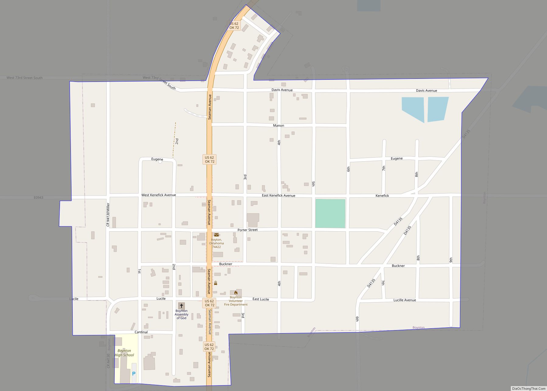
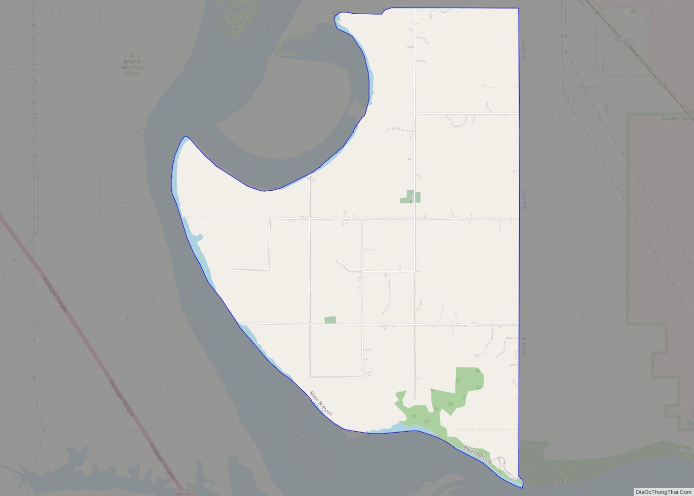
Online Interactive Map
Click on ![]() to view map in "full screen" mode.
to view map in "full screen" mode.
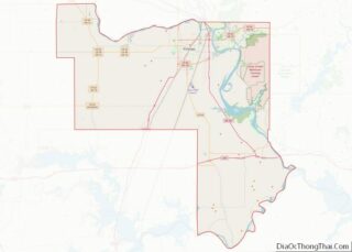
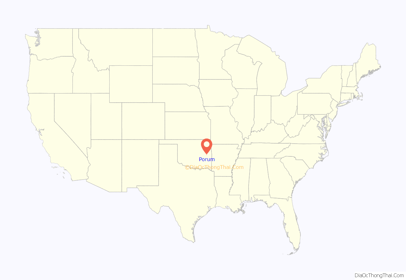
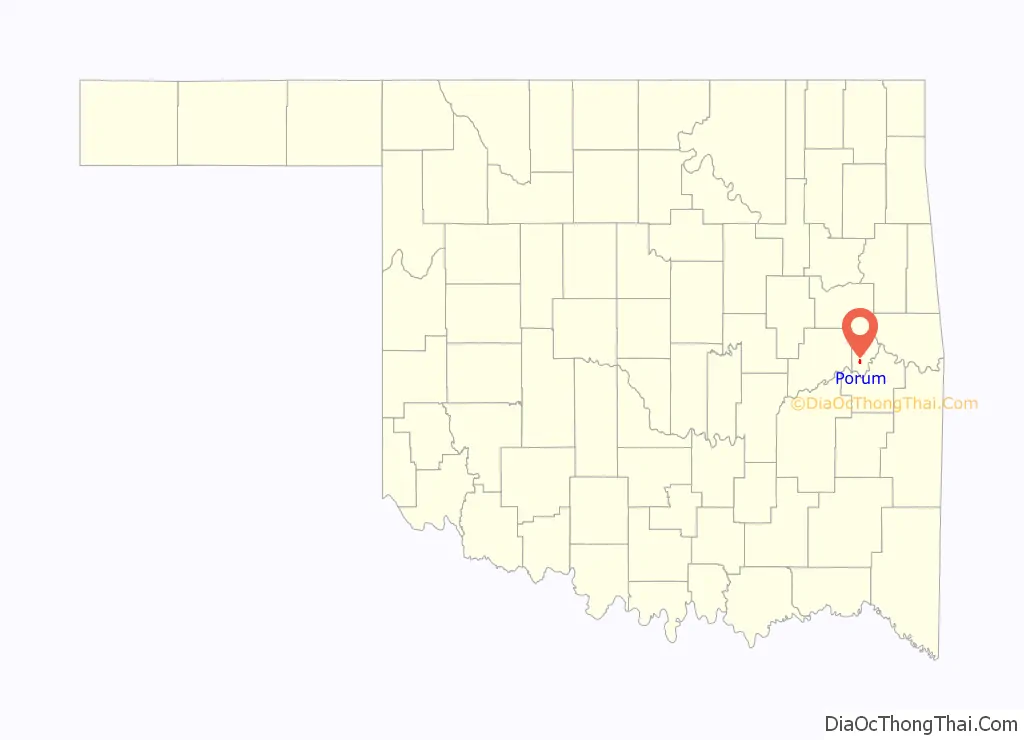
Porum location map. Where is Porum town?
History
The area is rich in history, including that of the Starr clan who were of the Cherokee “Treaty faction” and became immersed in troubles during the early turbulent days of the Cherokee Nation. They were attacked by, and counterattacked, men of the Ross faction. Tom Starr was alleged to have killed 100 men in his time, although the figure may be exaggerated. Tom was a half-blood, Irish and Cherokee, and had five sons, one of whom was Sam who became the husband of Belle Starr, forever linked with the history of Porum. In later years, Pony Starr who lived on the edge of Porum was involved in the Porum Range War and was regarded as the straightest shot and most fearless man of his clan.
A post office was established in Porum Gap March 25, 1890. The Midland Valley Railroad came to the Porum area in 1903. The town of Porum was formed in 1905, following the merger of Porum Gap and Starvilla.
Porum Road Map
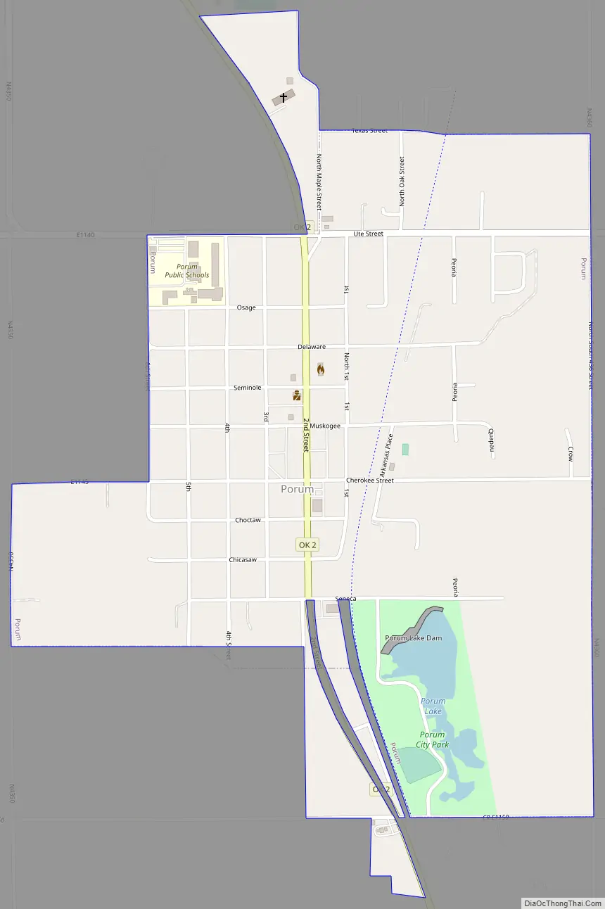
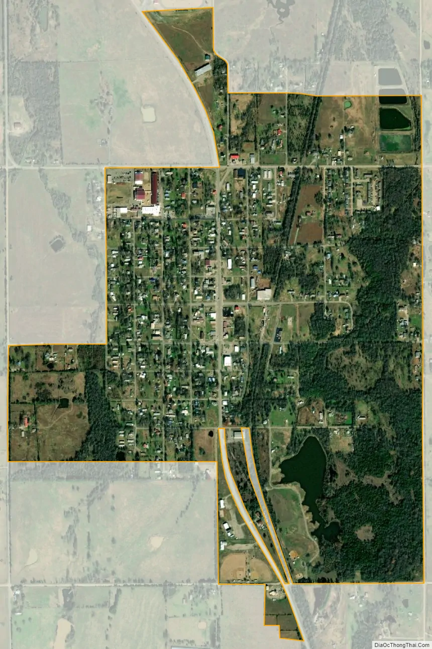
Porum city Satellite Map
Geography
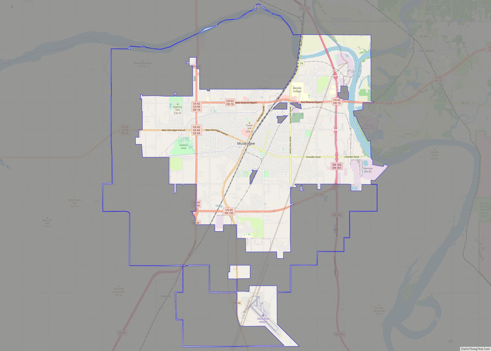
Porum is located at 35°21′30″N 95°15′57″W / 35.35833°N 95.26583°W / 35.35833; -95.26583 (35.358228, -95.265930). It is approximately 30 miles (48 km) south of Muskogee, the county seat.
According to the United States Census Bureau, the town has a total area of 0.8 square miles (2.1 km), of which 0.8 square miles (2.1 km) is land and 0.04 square miles (0.10 km) (2.56%) is water.
See also
Map of Oklahoma State and its subdivision:- Adair
- Alfalfa
- Atoka
- Beaver
- Beckham
- Blaine
- Bryan
- Caddo
- Canadian
- Carter
- Cherokee
- Choctaw
- Cimarron
- Cleveland
- Coal
- Comanche
- Cotton
- Craig
- Creek
- Custer
- Delaware
- Dewey
- Ellis
- Garfield
- Garvin
- Grady
- Grant
- Greer
- Harmon
- Harper
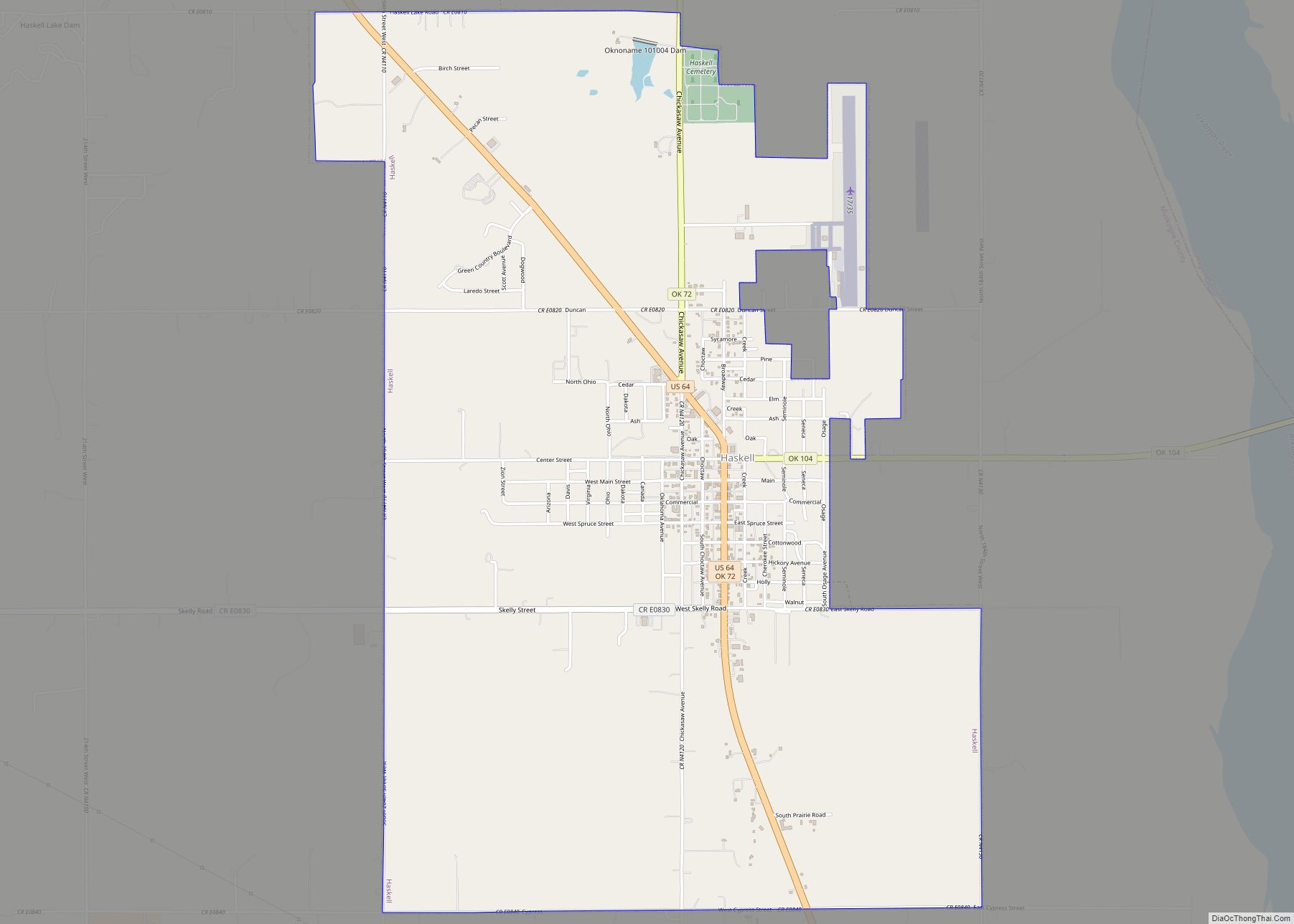
- Haskell
- Hughes
- Jackson
- Jefferson
- Johnston
- Kay
- Kingfisher
- Kiowa
- Latimer
- Le Flore
- Lincoln
- Logan
- Love
- Major
- Marshall
- Mayes
- McClain
- McCurtain
- McIntosh
- Murray
- Muskogee
- Noble
- Nowata
- Okfuskee
- Oklahoma
- Okmulgee
- Osage
- Ottawa
- Pawnee
- Payne
- Pittsburg
- Pontotoc
- Pottawatomie
- Pushmataha
- Roger Mills
- Rogers
- Seminole
- Sequoyah
- Stephens
- Texas
- Tillman
- Tulsa
- Wagoner
- Washington
- Washita
- Woods
- Woodward
- Alabama
- Alaska
- Arizona
- Arkansas
- California
- Colorado
- Connecticut
- Delaware
- District of Columbia
- Florida
- Georgia
- Hawaii
- Idaho
- Illinois
- Indiana
- Iowa
- Kansas
- Kentucky
- Louisiana
- Maine
- Maryland
- Massachusetts
- Michigan
- Minnesota
- Mississippi
- Missouri
- Montana
- Nebraska
- Nevada
- New Hampshire
- New Jersey
- New Mexico
- New York
- North Carolina
- North Dakota
- Ohio
- Oklahoma
- Oregon
- Pennsylvania
- Rhode Island
- South Carolina
- South Dakota
- Tennessee
- Texas
- Utah
- Vermont
- Virginia
- Washington
- West Virginia
- Wisconsin
- Wyoming