Roland is a town in Sequoyah County, Oklahoma, United States. It is part of the Fort Smith, Arkansas-Oklahoma Metropolitan Statistical Area. The population was 3,169 at the 2010 census, compared to the figure of 2,842 recorded in 2000.
| Name: | Roland town |
|---|---|
| LSAD Code: | 43 |
| LSAD Description: | town (suffix) |
| State: | Oklahoma |
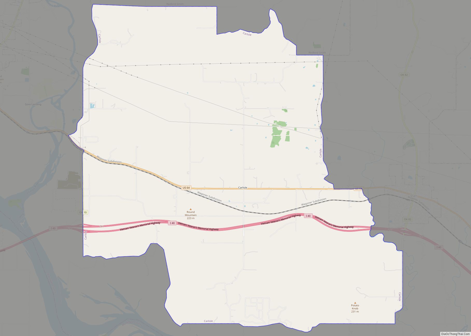
| County: | Sequoyah County |
| Elevation: | 482 ft (147 m) |
| Total Area: | 3.03 sq mi (7.84 km²) |
| Land Area: | 3.00 sq mi (7.76 km²) |
| Water Area: | 0.03 sq mi (0.07 km²) |
| Total Population: | 3,316 |
| Population Density: | 1,106.44/sq mi (427.14/km²) |
| ZIP code: | 74954 |
| Area code: | 539/918 |
| FIPS code: | 4063800 |
| GNISfeature ID: | 1097399 |
| Website: | www.rolandschools.org |
Online Interactive Map
Click on ![]() to view map in "full screen" mode.
to view map in "full screen" mode.
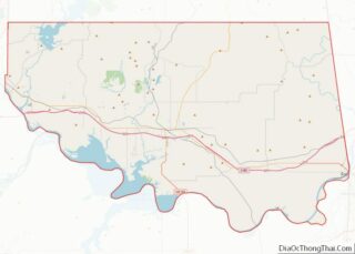
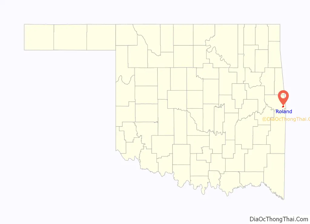
Roland location map. Where is Roland town?

History
This area was a dispersed rural community in the Cherokee Nation during the 19th century, until 1888, when the Kansas and Arkansas Valley Railway (KAVR) built a railroad line through it.
Meanwhile, the formerly-dispersed residents coalesced into a small town called either Garrison or Garrison Creek. A post office was established in the town in 1902, and the town renamed itself as Roland in 1904. The 1910 census recorded 228 residents.
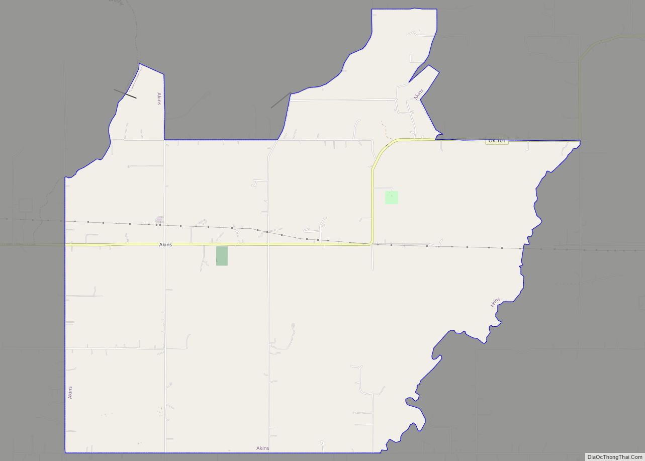
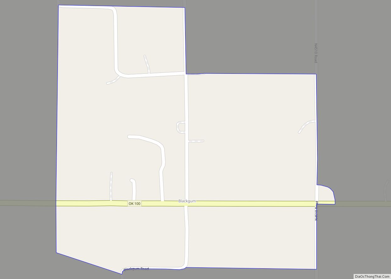
Roland Road Map
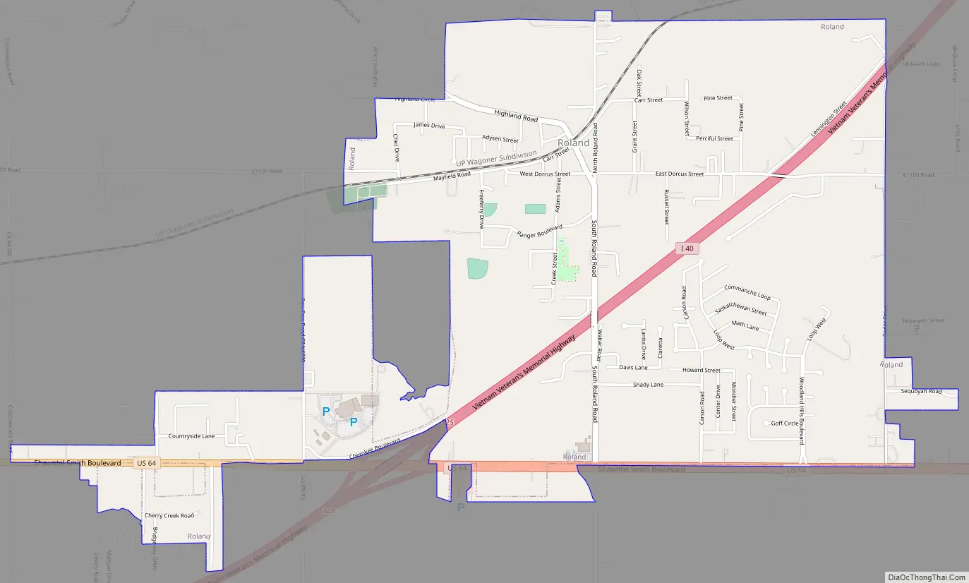
Roland city Satellite Map

Geography
Roland is located at 35°25′5″N 94°30′53″W / 35.41806°N 94.51472°W / 35.41806; -94.51472 (35.418013, -94.514815).
According to the United States Census Bureau, the town has a total area of 2.7 square miles (7.0 km), of which 2.6 square miles (6.7 km) is land and 0.04 square miles (0.10 km) (0.75%)is water. Roland is 4 miles (6.4 km) east of Muldrow and 6 miles (9.7 km) west of Fort Smith.
See also
Map of Oklahoma State and its subdivision:- Adair
- Alfalfa
- Atoka
- Beaver
- Beckham
- Blaine
- Bryan
- Caddo
- Canadian
- Carter
- Cherokee
- Choctaw
- Cimarron
- Cleveland
- Coal
- Comanche
- Cotton
- Craig
- Creek
- Custer
- Delaware
- Dewey
- Ellis
- Garfield
- Garvin
- Grady
- Grant
- Greer
- Harmon
- Harper
- Haskell
- Hughes
- Jackson
- Jefferson
- Johnston
- Kay
- Kingfisher
- Kiowa
- Latimer
- Le Flore
- Lincoln
- Logan
- Love
- Major
- Marshall
- Mayes
- McClain
- McCurtain
- McIntosh
- Murray
- Muskogee
- Noble
- Nowata
- Okfuskee
- Oklahoma
- Okmulgee
- Osage
- Ottawa
- Pawnee
- Payne
- Pittsburg
- Pontotoc
- Pottawatomie
- Pushmataha
- Roger Mills
- Rogers
- Seminole
- Sequoyah
- Stephens
- Texas
- Tillman
- Tulsa
- Wagoner
- Washington
- Washita
- Woods
- Woodward
- Alabama
- Alaska
- Arizona
- Arkansas
- California
- Colorado
- Connecticut
- Delaware
- District of Columbia
- Florida
- Georgia
- Hawaii
- Idaho
- Illinois
- Indiana
- Iowa
- Kansas
- Kentucky
- Louisiana
- Maine
- Maryland
- Massachusetts
- Michigan
- Minnesota
- Mississippi
- Missouri
- Montana
- Nebraska
- Nevada
- New Hampshire
- New Jersey
- New Mexico
- New York
- North Carolina
- North Dakota
- Ohio
- Oklahoma
- Oregon
- Pennsylvania
- Rhode Island
- South Carolina
- South Dakota
- Tennessee
- Texas
- Utah
- Vermont
- Virginia
- Washington
- West Virginia
- Wisconsin
- Wyoming