Taft is a town in Muskogee County, Oklahoma, United States. The population was 250 at the 2010 census, a decline of 28.4 percent from the figure of 349 recorded in 2000. The town began as an all-black town on land allotted to Creek Freedmen. It is named for President William Howard Taft.
| Name: | Taft town |
|---|---|
| LSAD Code: | 43 |
| LSAD Description: | town (suffix) |
| State: | Oklahoma |
| County: | Muskogee County |
| Elevation: | 584 ft (178 m) |
| Total Area: | 1.56 sq mi (4.03 km²) |
| Land Area: | 1.55 sq mi (4.02 km²) |
| Water Area: | 0.01 sq mi (0.01 km²) |
| Total Population: | 174 |
| Population Density: | 112.19/sq mi (43.32/km²) |
| ZIP code: | 74463 |
| Area code: | 539/918 |
| FIPS code: | 4072050 |
| GNISfeature ID: | 1098714 |
Online Interactive Map
Click on ![]() to view map in "full screen" mode.
to view map in "full screen" mode.
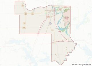
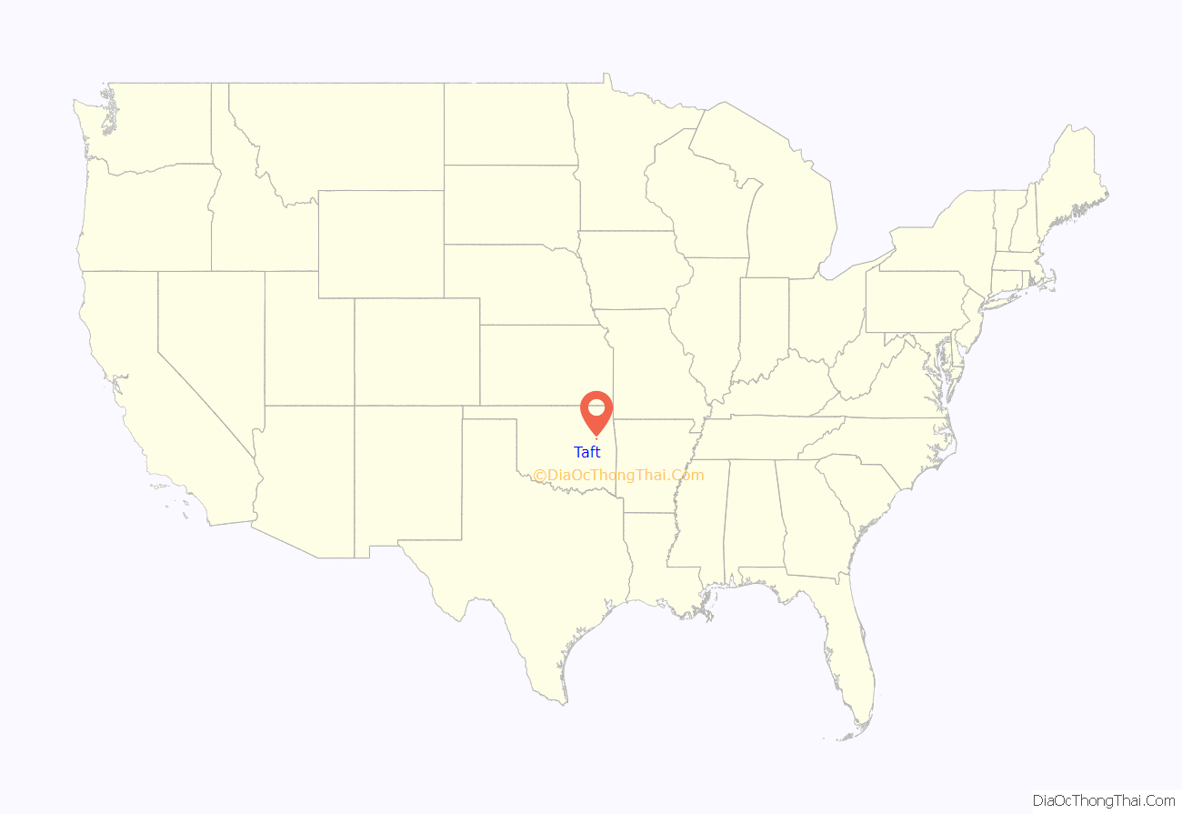
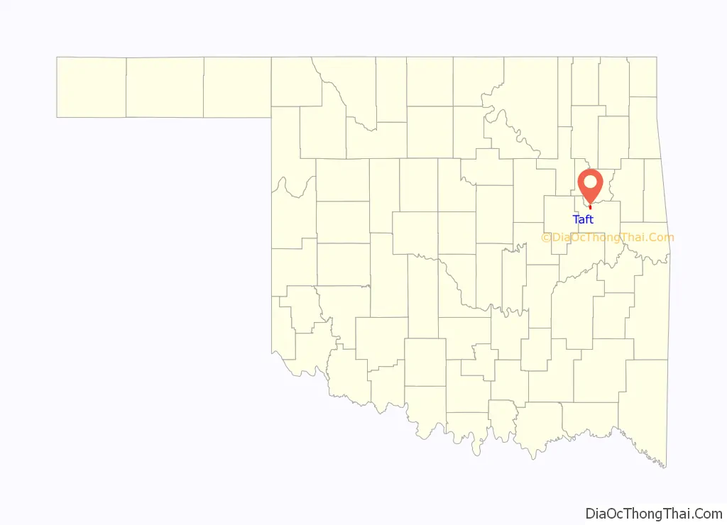
Taft location map. Where is Taft town?
History
This community began as an all-black town on land allotted to freedmen of the Creek Nation. It was originally named Twine, for William H. Twine, and had a post office by 1902. Twine moved to Muskogee, and the citizens voted to rename the town as Taft, for President William Howard Taft, who was then Secretary of War in the Theodore Roosevelt administration.
Educational and correctional facilities have long been the town’s leading employers. These have included: W. T. Vernon School (1908), the Industrial Institute for the Deaf, Blind, and Orphans of the Colored Race (1909), Moton High School, and the State Training School for Negro Girls.
Taft also contains two penitentiaries: Dr. Eddie Warrior Correctional Center, for women, and Jess Dunn Correctional Center, for men.
In April, 1973, Lelia Foley was elected as Mayor of Taft, becoming one of the African-American women elected as mayor in the United States.
A mass shooting incident occurred at an outdoor Memorial Day event in Taft, shortly after midnight on May 29, 2022. Seven people were reported to be injured, with a 39-year-old woman killed. Media accounts say that this incident was one of at least 12 mass shooting events that occurred over the Memorial Day weekend across the United States. 26-year-old Skyler Buckner was charged in connection with the shooting.
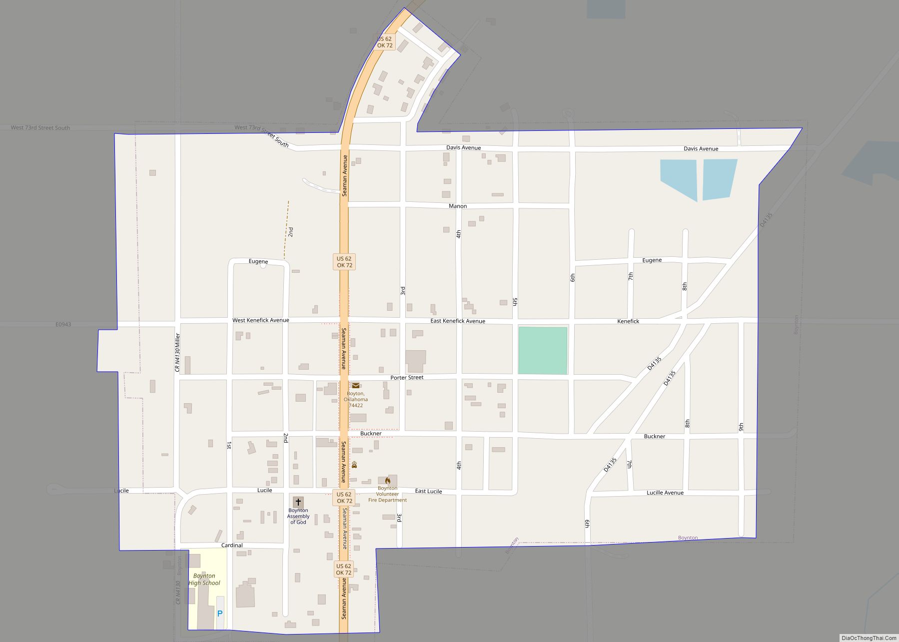
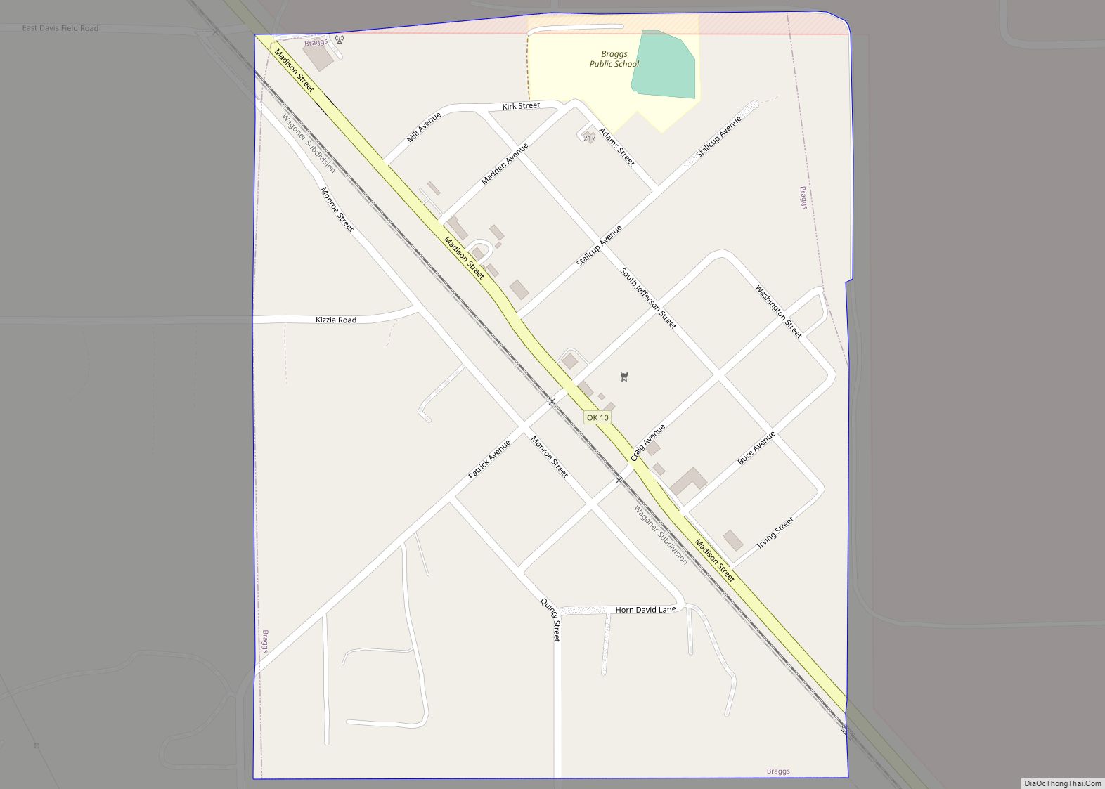
Taft Road Map
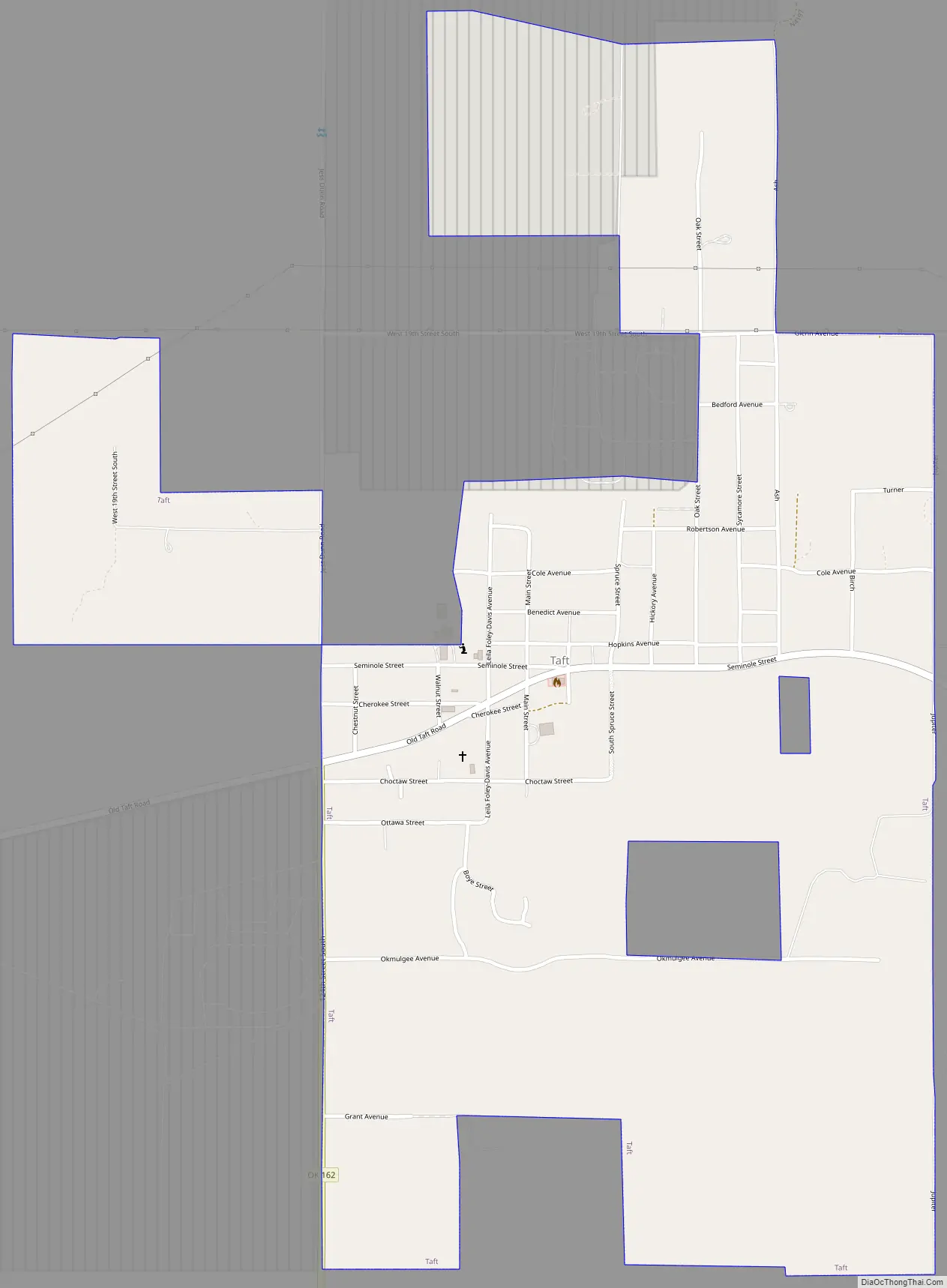
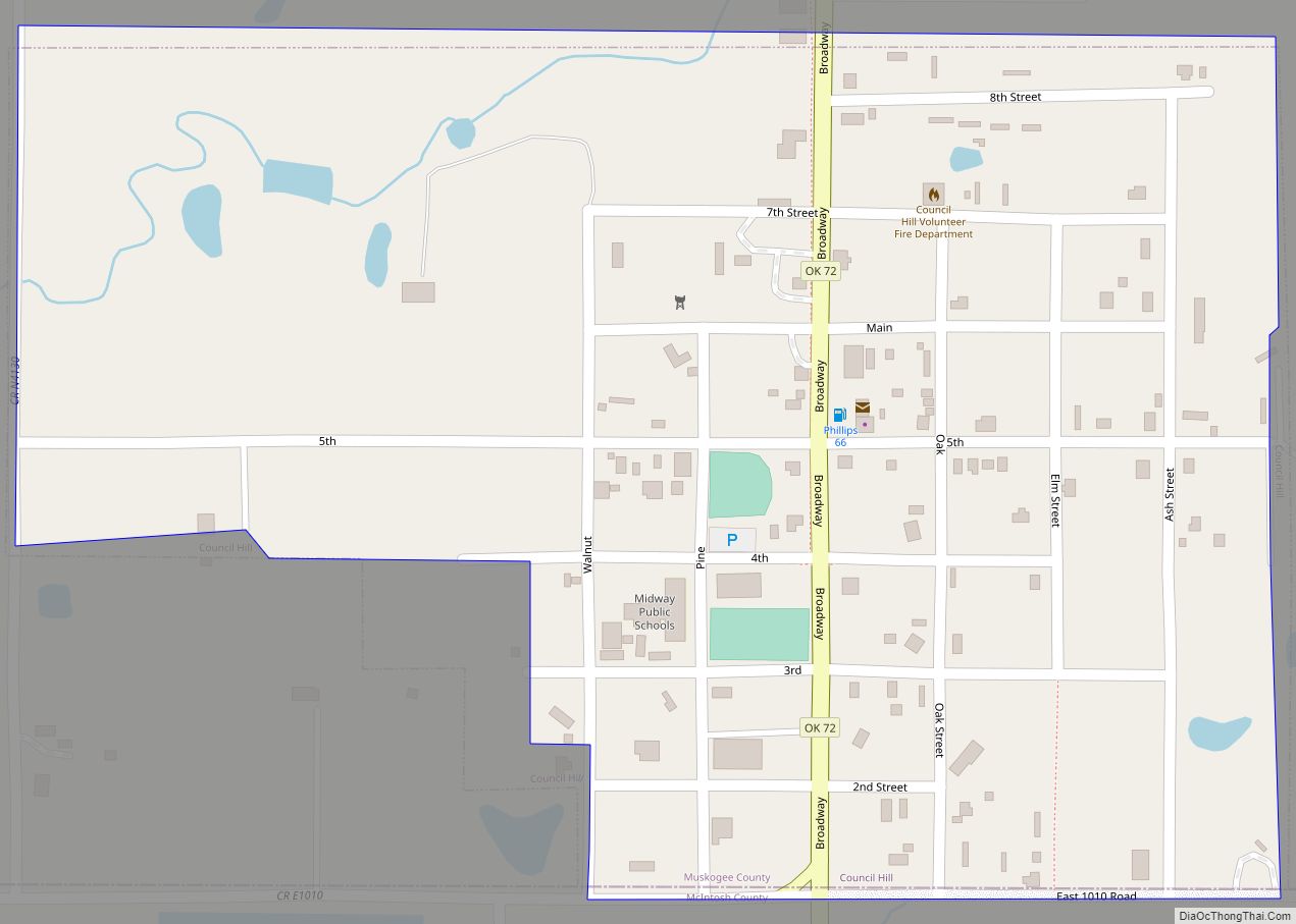
Taft city Satellite Map
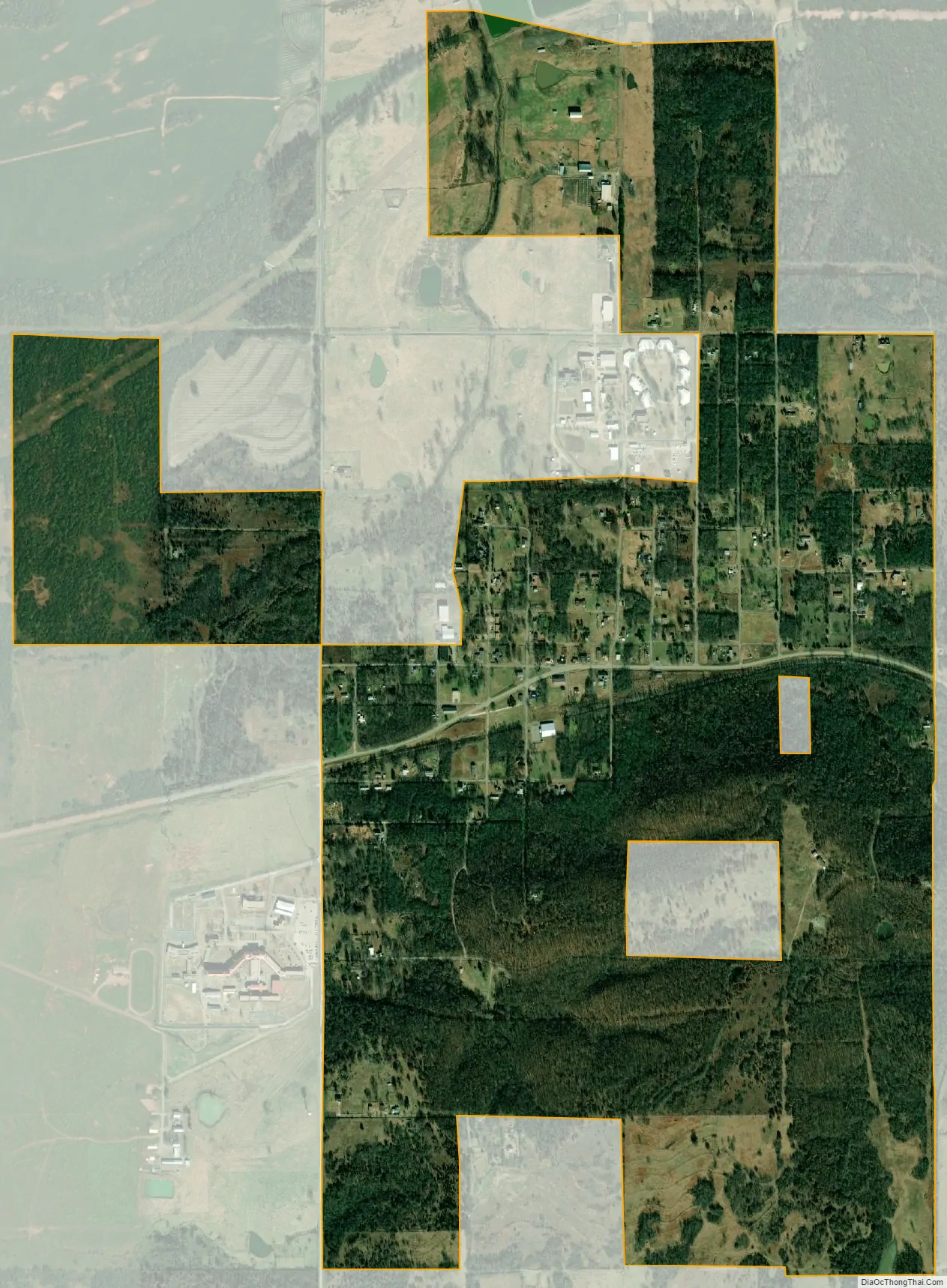
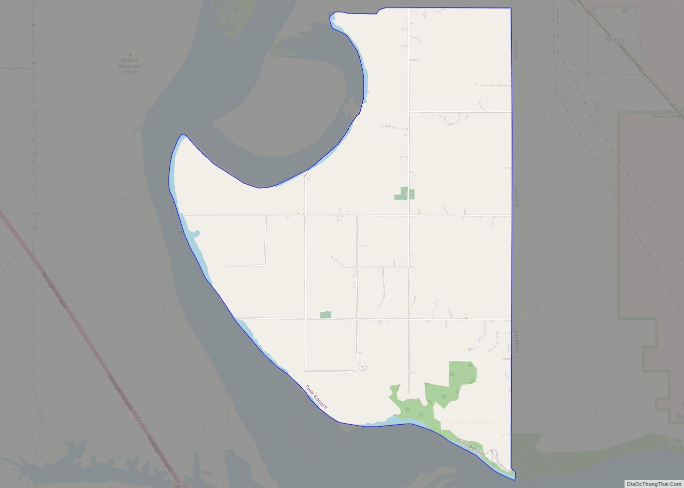
Geography
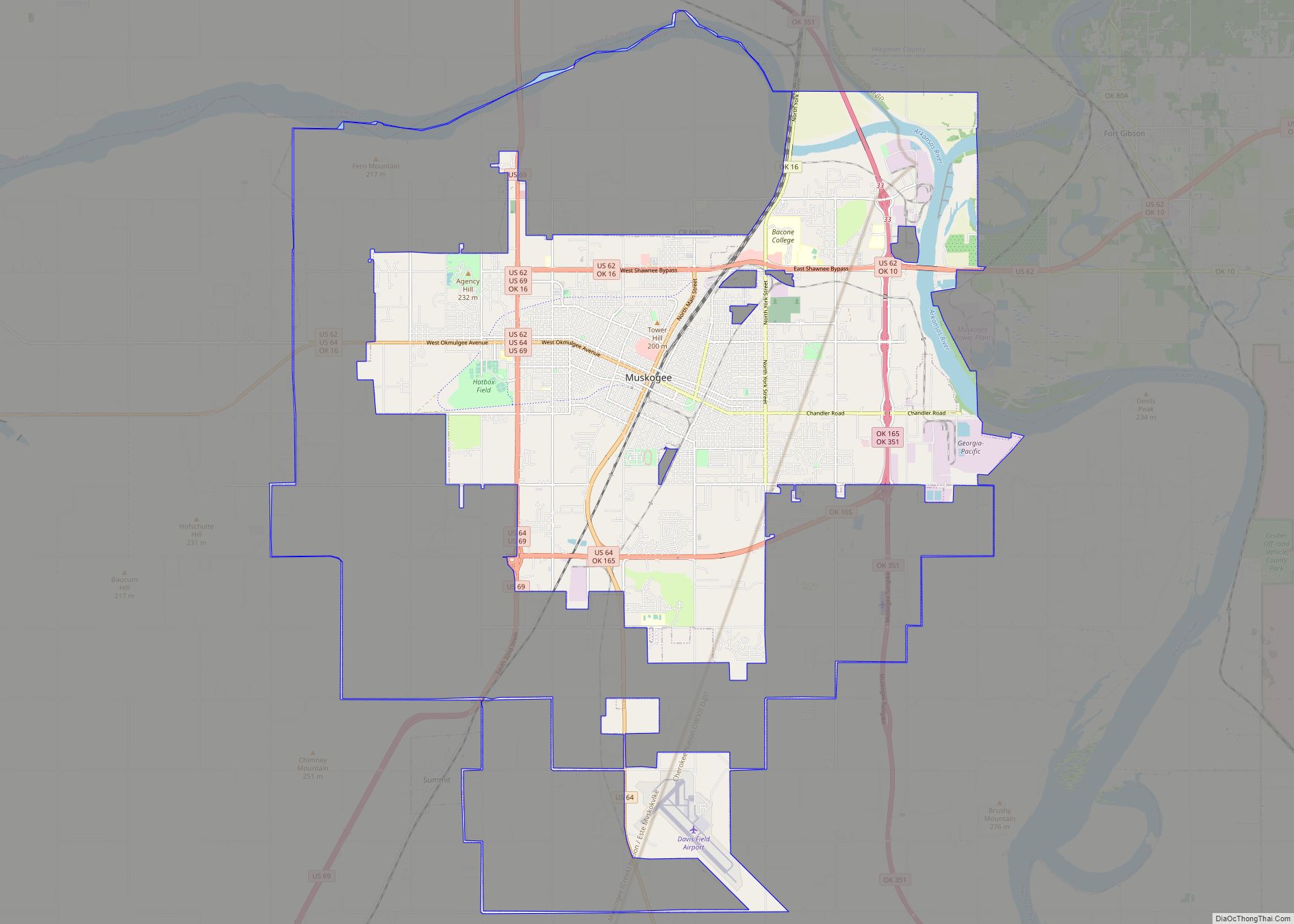
Taft is located at 35°45′45″N 95°32′46″W / 35.76250°N 95.54611°W / 35.76250; -95.54611 (35.762595, -95.546046). It is located approximately 8 miles (13 km) west of the city of Muskogee. According to the United States Census Bureau, the town has a total area of 1.5 square miles (3.9 km), all land.
See also
Map of Oklahoma State and its subdivision:- Adair
- Alfalfa
- Atoka
- Beaver
- Beckham
- Blaine
- Bryan
- Caddo
- Canadian
- Carter
- Cherokee
- Choctaw
- Cimarron
- Cleveland
- Coal
- Comanche
- Cotton
- Craig
- Creek
- Custer
- Delaware
- Dewey
- Ellis
- Garfield
- Garvin
- Grady
- Grant
- Greer
- Harmon
- Harper
- Haskell
- Hughes
- Jackson
- Jefferson
- Johnston
- Kay
- Kingfisher
- Kiowa
- Latimer
- Le Flore
- Lincoln
- Logan
- Love
- Major
- Marshall
- Mayes
- McClain
- McCurtain
- McIntosh
- Murray
- Muskogee
- Noble
- Nowata
- Okfuskee
- Oklahoma
- Okmulgee
- Osage
- Ottawa
- Pawnee
- Payne
- Pittsburg
- Pontotoc
- Pottawatomie
- Pushmataha
- Roger Mills
- Rogers
- Seminole
- Sequoyah
- Stephens
- Texas
- Tillman
- Tulsa
- Wagoner
- Washington
- Washita
- Woods
- Woodward
- Alabama
- Alaska
- Arizona
- Arkansas
- California
- Colorado
- Connecticut
- Delaware
- District of Columbia
- Florida
- Georgia
- Hawaii
- Idaho
- Illinois
- Indiana
- Iowa
- Kansas
- Kentucky
- Louisiana
- Maine
- Maryland
- Massachusetts
- Michigan
- Minnesota
- Mississippi
- Missouri
- Montana
- Nebraska
- Nevada
- New Hampshire
- New Jersey
- New Mexico
- New York
- North Carolina
- North Dakota
- Ohio
- Oklahoma
- Oregon
- Pennsylvania
- Rhode Island
- South Carolina
- South Dakota
- Tennessee
- Texas
- Utah
- Vermont
- Virginia
- Washington
- West Virginia
- Wisconsin
- Wyoming