Tushka is a town in Atoka County, Oklahoma, United States. The population was 312 at the 2010 census, a decline of 9.6 percent from the figure of 345 recorded in 2000.
| Name: | Tushka town |
|---|---|
| LSAD Code: | 43 |
| LSAD Description: | town (suffix) |
| State: | Oklahoma |
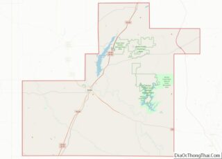
| County: | Atoka County |
| Elevation: | 623 ft (190 m) |
| Total Area: | 0.76 sq mi (1.96 km²) |
| Land Area: | 0.76 sq mi (1.96 km²) |
| Water Area: | 0.00 sq mi (0.00 km²) |
| Total Population: | 413 |
| Population Density: | 545.57/sq mi (210.76/km²) |
| FIPS code: | 4075250 |
| GNISfeature ID: | 1099082 |
Online Interactive Map
Click on ![]() to view map in "full screen" mode.
to view map in "full screen" mode.
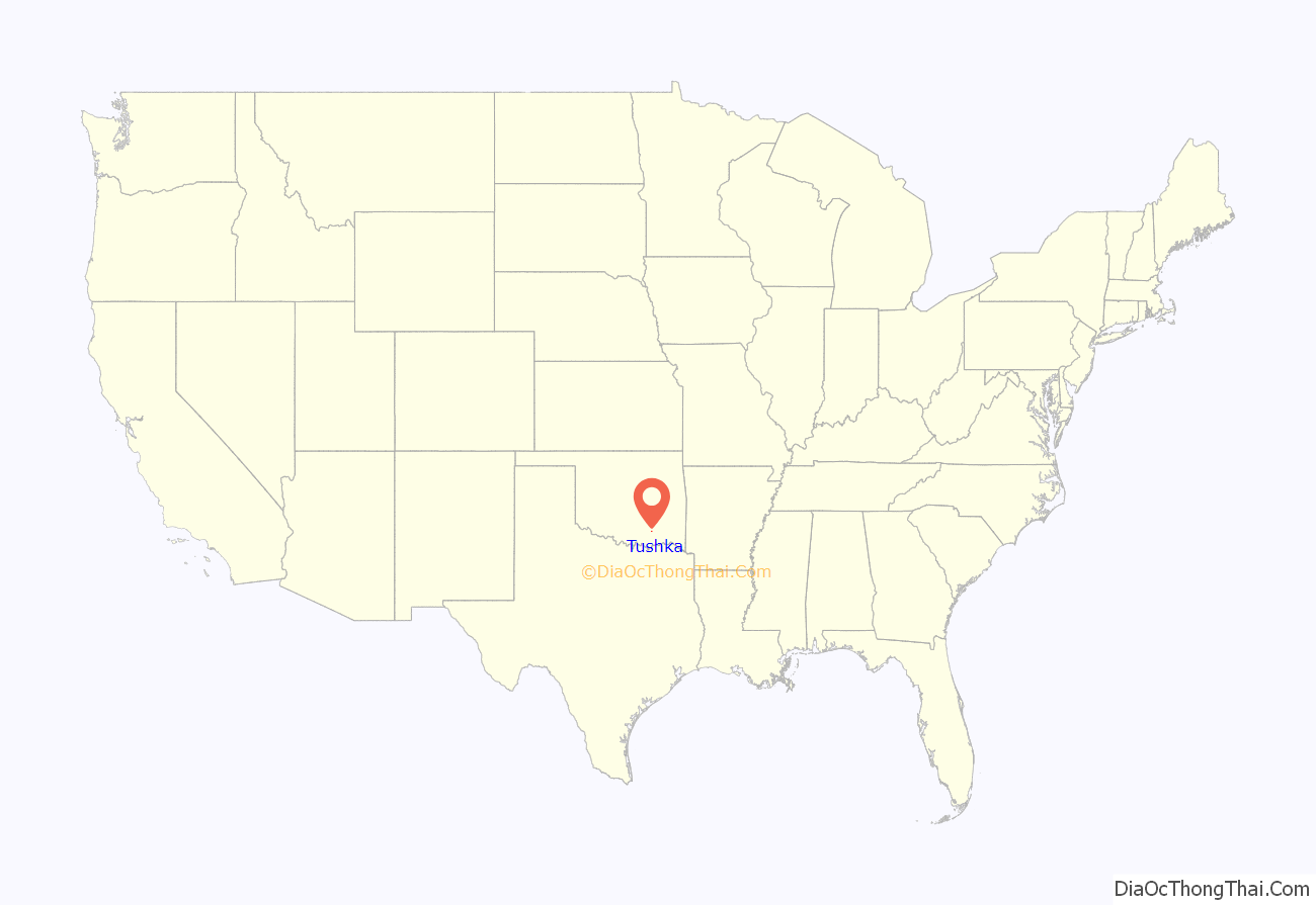
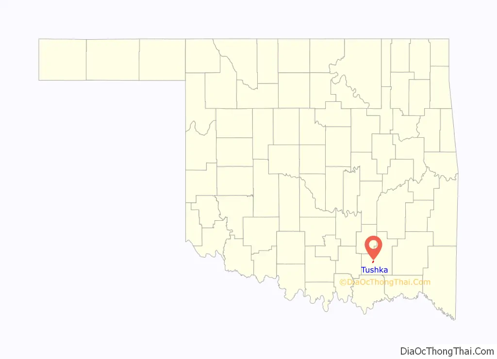
Tushka location map. Where is Tushka town?
History
In 1872, the Missouri-Kansas-Texas Railway (Katy) built a track five miles south of Atoka in Atoka County, Choctaw Nation in the Indian Territory and created a settlement which it called Peck Switch, Indian Territory. The first post office was established in 1903. The name was changed to Lewis in 1905, honoring the first postmaster, Charles Lewis. In 1909, the community was renamed Dayton, but was changed during the same year to the present Tushka. Tushka is a Choctaw word meaning “warrior”.
Tushka was first incorporated in 1915, but disincorporated after 15 years. There were 248 residents at the 1920 census. A fire destroyed most of the town during the Great Depression. During World War II, many of the remaining residents moved to California for work and never returned. The town incorporated again in 1968. Its population had recovered to 230 in 1970.
Tushka was hit by a tornado on April 14, 2011, causing damage to much of the town, including the school, and causing two deaths.
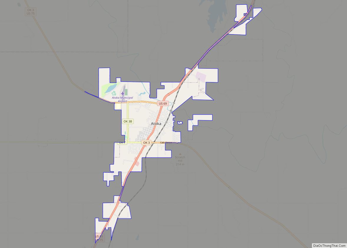
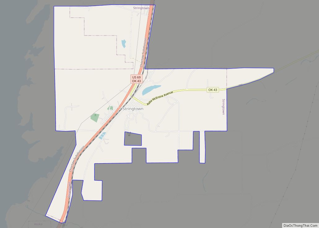
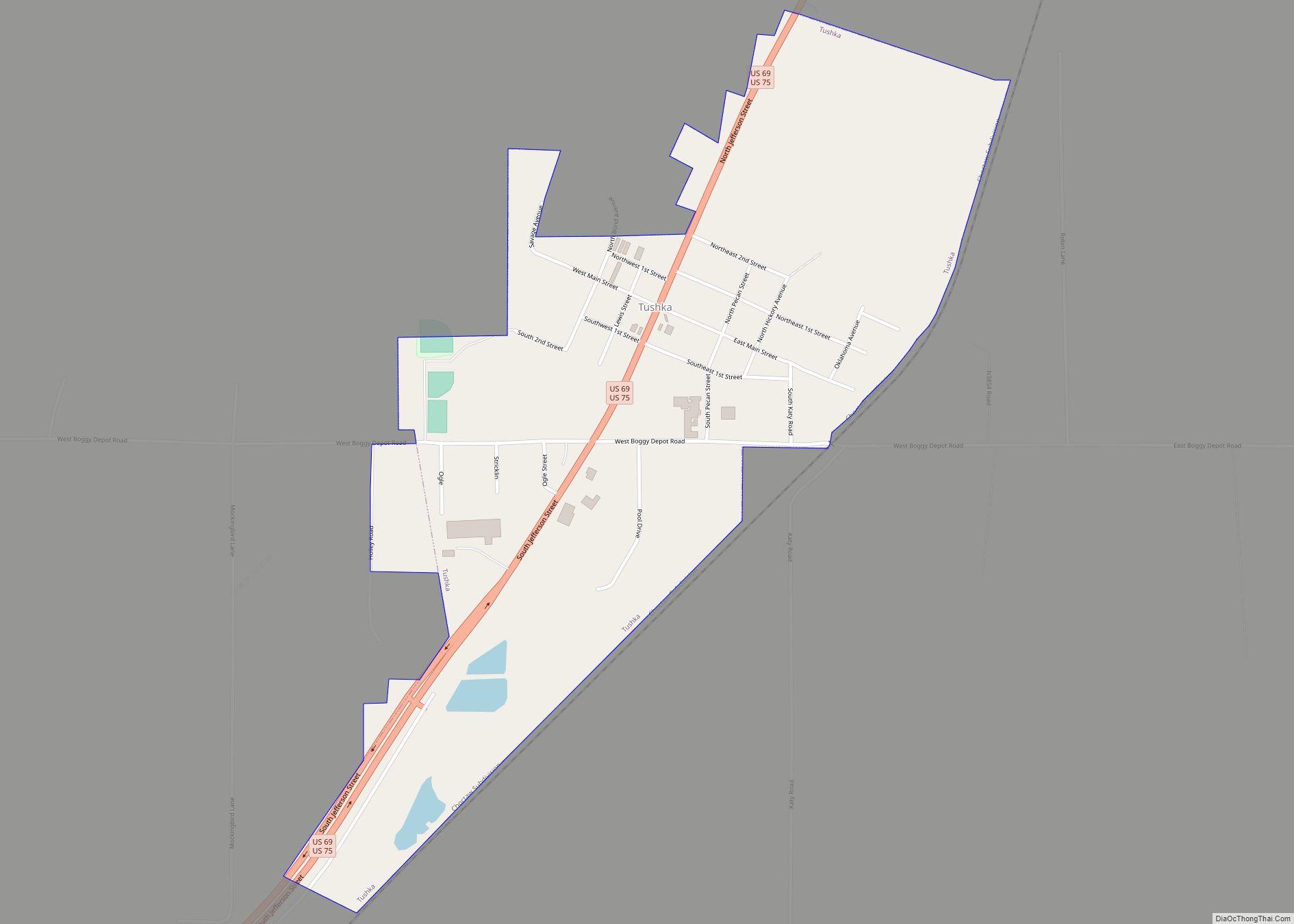
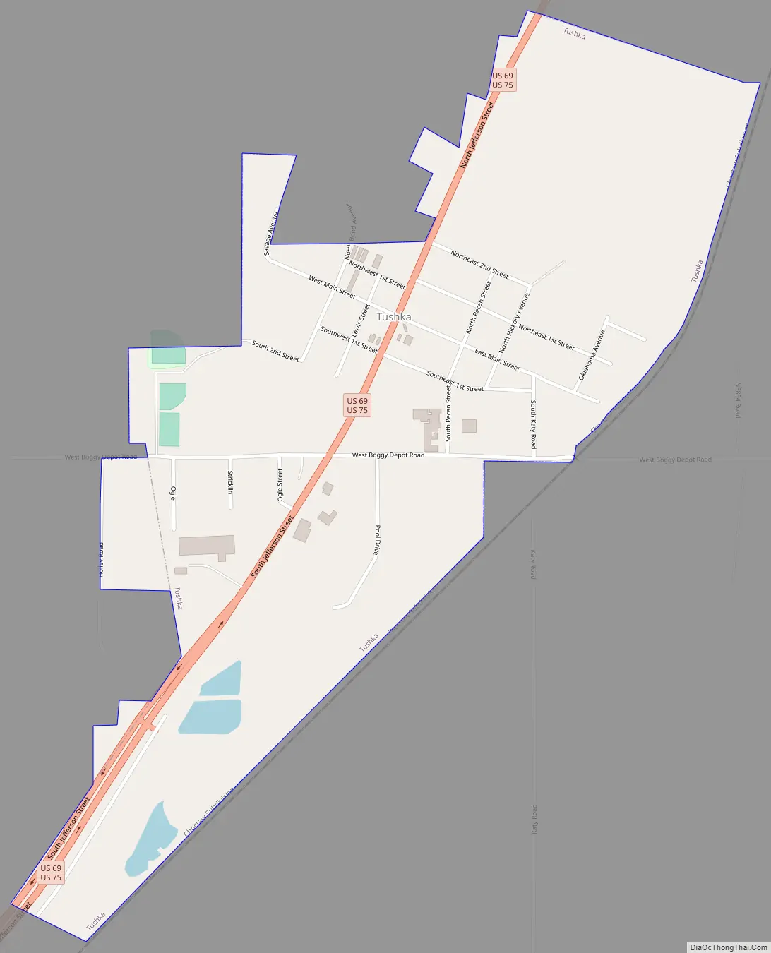
Tushka Road Map
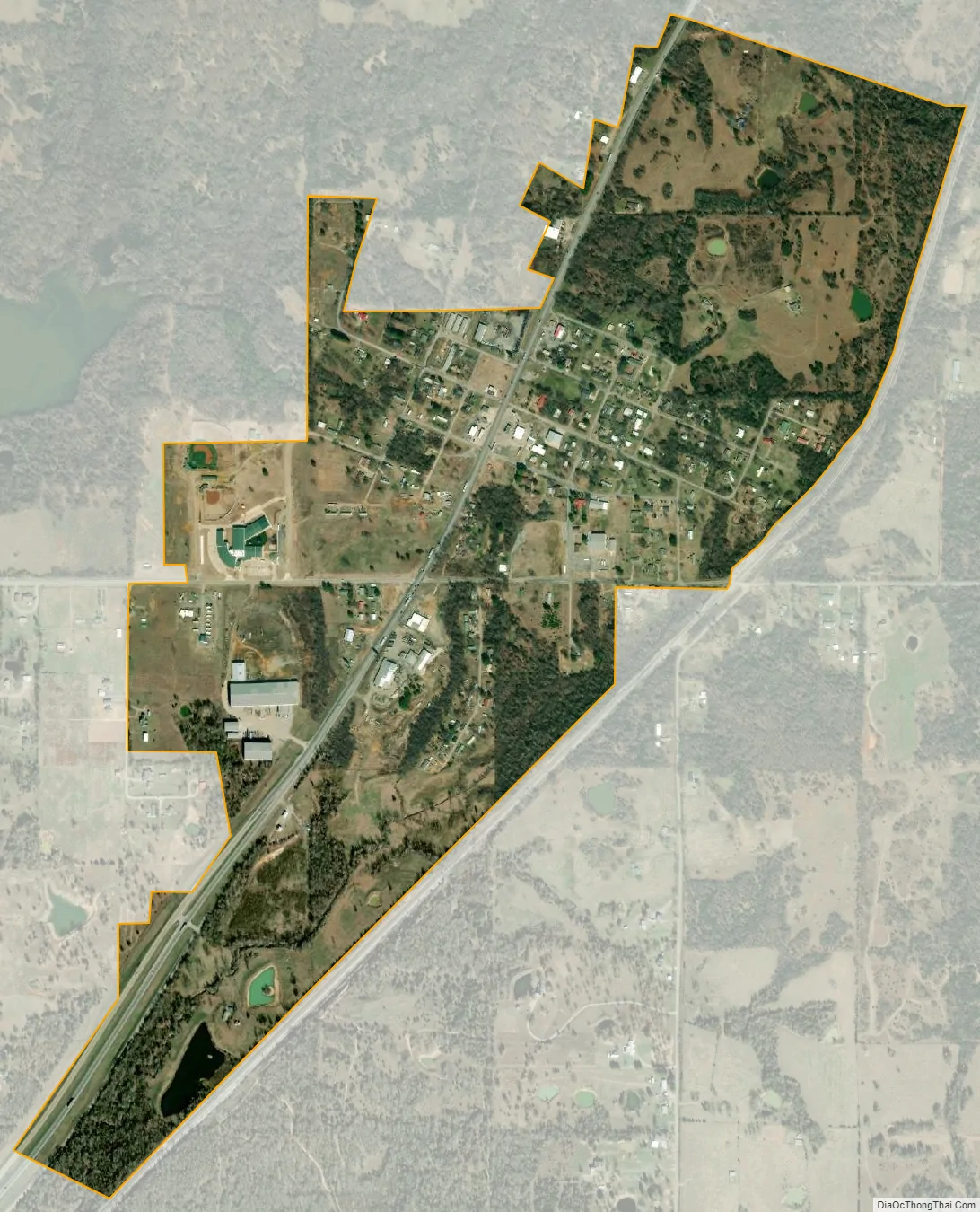
Tushka city Satellite Map
Geography
Tushka is located at 34°19′10″N 96°9′59″W / 34.31944°N 96.16639°W / 34.31944; -96.16639 (34.319552, -96.166265).
According to the United States Census Bureau, the town has a total area of 0.7 square miles (1.8 km), of which 0.7 square miles (1.8 km) is land and 0.04 square miles (0.10 km) (2.70%) is water.
Tushka is located along U.S. Highway 69/75.
See also
Map of Oklahoma State and its subdivision:- Adair
- Alfalfa
- Atoka
- Beaver
- Beckham
- Blaine
- Bryan
- Caddo
- Canadian
- Carter
- Cherokee
- Choctaw
- Cimarron
- Cleveland
- Coal
- Comanche
- Cotton
- Craig
- Creek
- Custer
- Delaware
- Dewey
- Ellis
- Garfield
- Garvin
- Grady
- Grant
- Greer
- Harmon
- Harper
- Haskell
- Hughes
- Jackson
- Jefferson
- Johnston
- Kay
- Kingfisher
- Kiowa
- Latimer
- Le Flore
- Lincoln
- Logan
- Love
- Major
- Marshall
- Mayes
- McClain
- McCurtain
- McIntosh
- Murray
- Muskogee
- Noble
- Nowata
- Okfuskee
- Oklahoma
- Okmulgee
- Osage
- Ottawa
- Pawnee
- Payne
- Pittsburg
- Pontotoc
- Pottawatomie
- Pushmataha
- Roger Mills
- Rogers
- Seminole
- Sequoyah
- Stephens
- Texas
- Tillman
- Tulsa
- Wagoner
- Washington
- Washita
- Woods
- Woodward
- Alabama
- Alaska
- Arizona
- Arkansas
- California
- Colorado
- Connecticut
- Delaware
- District of Columbia
- Florida
- Georgia
- Hawaii
- Idaho
- Illinois
- Indiana
- Iowa
- Kansas
- Kentucky
- Louisiana
- Maine
- Maryland
- Massachusetts
- Michigan
- Minnesota
- Mississippi
- Missouri
- Montana
- Nebraska
- Nevada
- New Hampshire
- New Jersey
- New Mexico
- New York
- North Carolina
- North Dakota
- Ohio
- Oklahoma
- Oregon
- Pennsylvania
- Rhode Island
- South Carolina
- South Dakota
- Tennessee
- Texas
- Utah
- Vermont
- Virginia
- Washington
- West Virginia
- Wisconsin
- Wyoming