Union City is a town in Canadian County, Oklahoma, United States. The population was 1,645 at the 2010 census, a 19.6 percent increase from 1,375 in 2000. It is part of the Oklahoma City metropolitan statistical area.
| Name: | Union City town |
|---|---|
| LSAD Code: | 43 |
| LSAD Description: | town (suffix) |
| State: | Oklahoma |
| County: | Canadian County |
| Elevation: | 1,322 ft (403 m) |
| Total Area: | 56.59 sq mi (146.55 km²) |
| Land Area: | 56.12 sq mi (145.35 km²) |
| Water Area: | 0.47 sq mi (1.21 km²) |
| Total Population: | 1,794 |
| Population Density: | 31.97/sq mi (12.34/km²) |
| ZIP code: | 73090 |
| Area code: | 405, exchange 483 |
| FIPS code: | 4075950 |
| GNISfeature ID: | 1099162 |
| Website: | www.unioncityok.gov |
Online Interactive Map
Click on ![]() to view map in "full screen" mode.
to view map in "full screen" mode.
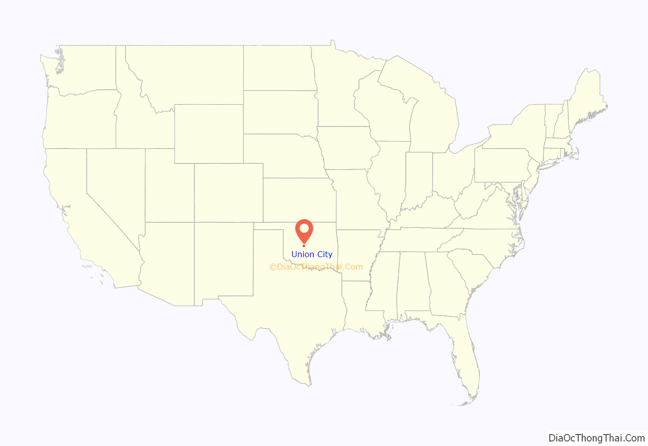
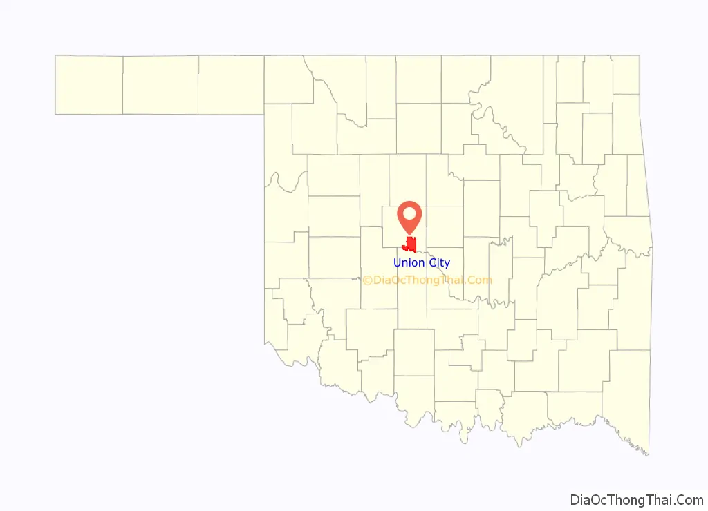
Union City location map. Where is Union City town?
History
In 1889, a post office opened for the community of Union. A townsite plat was filed during the following year. Union City began in 1890 with the arrival of the Chicago, Kansas and Nebraska Railway (acquired by the Chicago, Rock Island and Pacific Railroad in 1891). The local economy was based on agriculture, and within four years the town had three grain elevators and a farm machinery dealership.
1973 tornado
On May 24, 1973, a tornado rated F4 struck the Union City area and was the first tornado widely documented by science as part of storm chasing field research. NSSL out of Norman, Oklahoma placed numerous storm chasers around it to capture the life cycle on film.
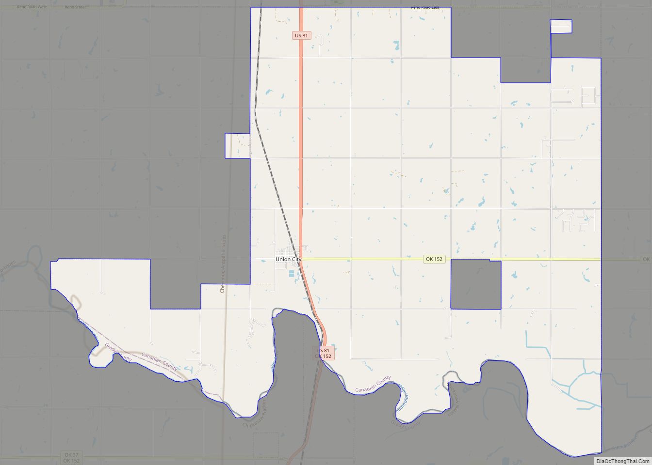
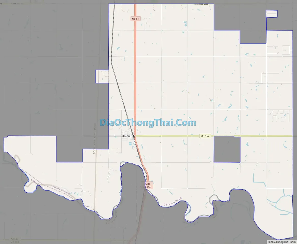
Union City Road Map
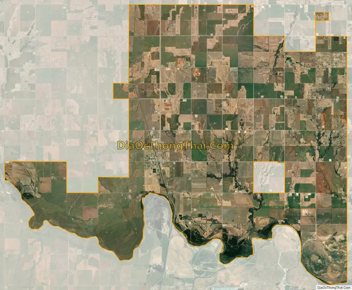
Union City city Satellite Map
Geography
Union City is located in southern Canadian County at 35°24′49″N 97°54′38″W / 35.41361°N 97.91056°W / 35.41361; -97.91056 (35.413582, -97.910634). It is bordered to the east by Oklahoma City, to the north in part by El Reno, and to the south by Grady County, including the town of Minco. The Canadian River forms the county line and the southern boundary of Union City.
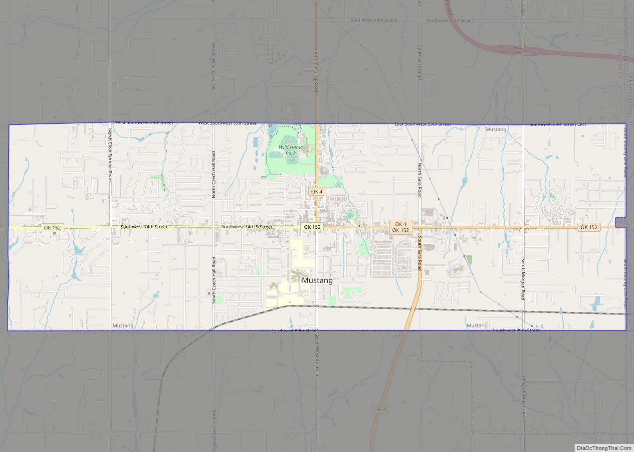
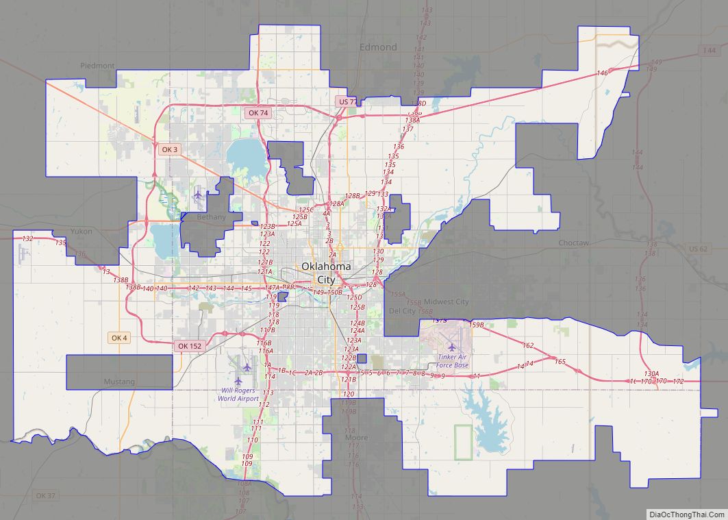
U.S. Route 81 passes through the center of the town, leading north 7.5 miles (12.1 km) to Interstate 40 and 10 miles (16 km) to El Reno, while leading south 6 miles (10 km) to Minco. Oklahoma State Highway 152 leads east from Union City 12 miles (19 km) to Mustang. Downtown Oklahoma City is 28 miles (45 km) to the east.
According to the United States Census Bureau, the town of Union City has a total area of 57.1 square miles (147.8 km), of which 56.6 square miles (146.6 km) is land, and 0.46 square miles (1.2 km) (0.83%) is water.
See also
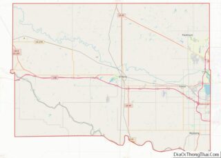
Map of Oklahoma State and its subdivision:- Adair
- Alfalfa
- Atoka
- Beaver
- Beckham
- Blaine
- Bryan
- Caddo
- Canadian
- Carter
- Cherokee
- Choctaw
- Cimarron
- Cleveland
- Coal
- Comanche
- Cotton
- Craig
- Creek
- Custer
- Delaware
- Dewey
- Ellis
- Garfield
- Garvin
- Grady
- Grant
- Greer
- Harmon
- Harper
- Haskell
- Hughes
- Jackson
- Jefferson
- Johnston
- Kay
- Kingfisher
- Kiowa
- Latimer
- Le Flore
- Lincoln
- Logan
- Love
- Major
- Marshall
- Mayes
- McClain
- McCurtain
- McIntosh
- Murray
- Muskogee
- Noble
- Nowata
- Okfuskee
- Oklahoma
- Okmulgee
- Osage
- Ottawa
- Pawnee
- Payne
- Pittsburg
- Pontotoc
- Pottawatomie
- Pushmataha
- Roger Mills
- Rogers
- Seminole
- Sequoyah
- Stephens
- Texas
- Tillman
- Tulsa
- Wagoner
- Washington
- Washita
- Woods
- Woodward
- Alabama
- Alaska
- Arizona
- Arkansas
- California
- Colorado
- Connecticut
- Delaware
- District of Columbia
- Florida
- Georgia
- Hawaii
- Idaho
- Illinois
- Indiana
- Iowa
- Kansas
- Kentucky
- Louisiana
- Maine
- Maryland
- Massachusetts
- Michigan
- Minnesota
- Mississippi
- Missouri
- Montana
- Nebraska
- Nevada
- New Hampshire
- New Jersey
- New Mexico
- New York
- North Carolina
- North Dakota
- Ohio
- Oklahoma
- Oregon
- Pennsylvania
- Rhode Island
- South Carolina
- South Dakota
- Tennessee
- Texas
- Utah
- Vermont
- Virginia
- Washington
- West Virginia
- Wisconsin
- Wyoming