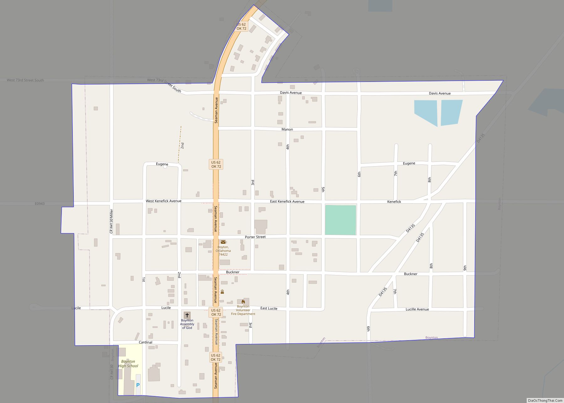
Warner is a town in Muskogee County, Oklahoma, United States. The population was 1,641 at the 2010 census, an increase of 14.8 percent over the figure of 1,430 recorded in 2000. The town is home to one of the two Connors State College campuses.
| Name: | Warner town |
|---|---|
| LSAD Code: | 43 |
| LSAD Description: | town (suffix) |
| State: | Oklahoma |
| County: | Muskogee County |
| Elevation: | 577 ft (176 m) |
| Total Area: | 1.89 sq mi (4.90 km²) |
| Land Area: | 1.85 sq mi (4.79 km²) |
| Water Area: | 0.04 sq mi (0.11 km²) |
| Total Population: | 1,593 |
| Population Density: | 861.08/sq mi (332.49/km²) |
| ZIP code: | 74469 |
| Area code: | 539/918 |
| FIPS code: | 4078400 |
| GNISfeature ID: | 1099371 |
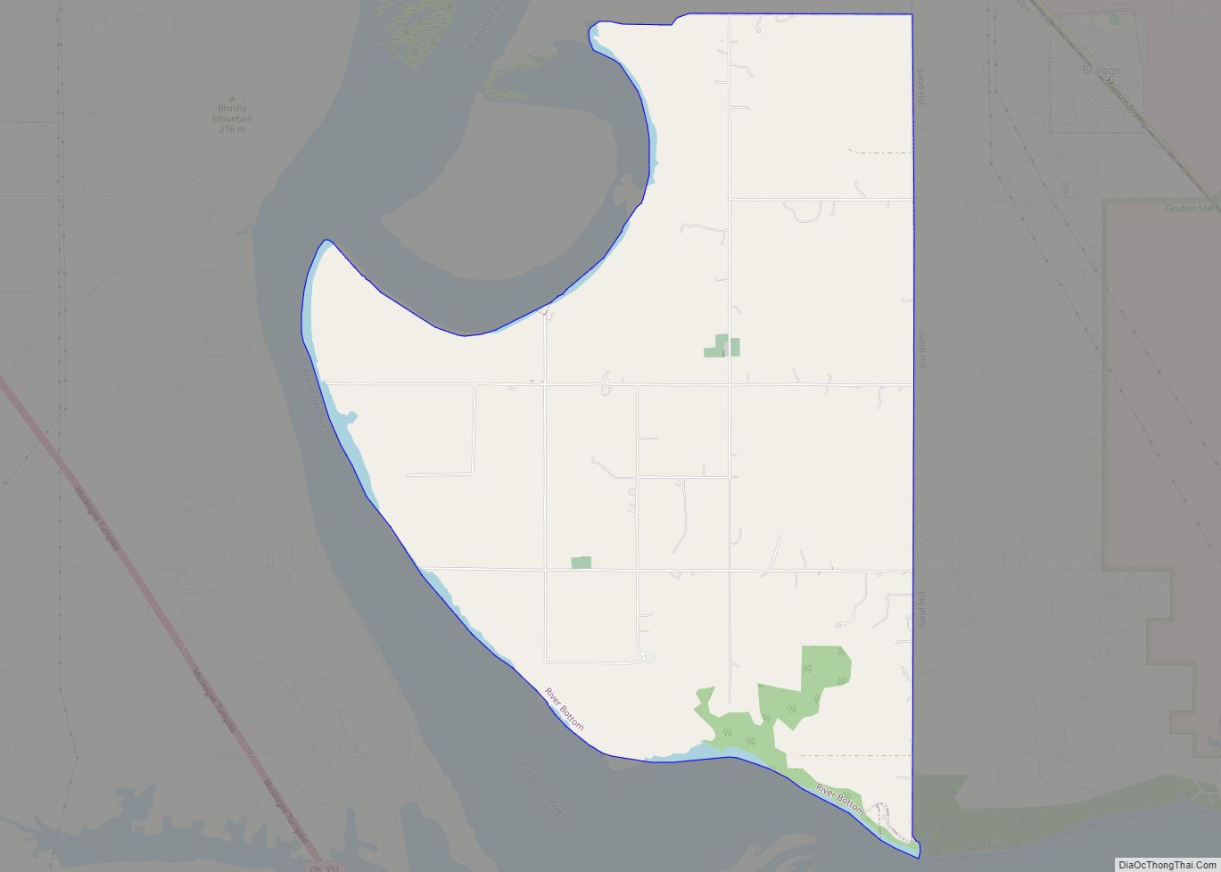
Online Interactive Map
Click on ![]() to view map in "full screen" mode.
to view map in "full screen" mode.
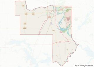
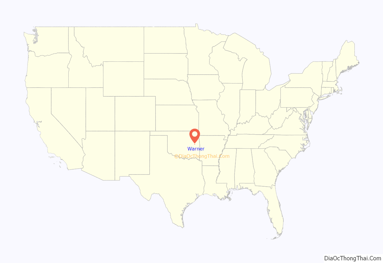
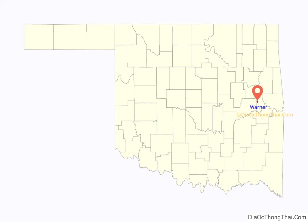
Warner location map. Where is Warner town?
History
The present town of Warner was formed from two communities, Bennett and Hereford, that formerly existed in the southern part of the Cherokee Nation’s Canadian District. Bennett, about 3 miles (4.8 km) southeast of Warner, had a post office between 1895 and 1904. Hereford was located on the site of present-day Warner. It was established in 1903 and renamed Warner in 1905.
The Muskogee Southern Railroad (quickly acquired by the Midland Valley Railroad) built through town in the 1902-1903 timeframe. The town briefly became a connection point when it got another rail line to Webbers Falls, Oklahoma in 1911, this one courtesy of the Webbers Falls, Shawnee and Western Railroad. But that railway ceased operations in 1914, was reorganized as the Webbers Falls Railroad in 1916, and was dismantled by 1918.
Connors State Agricultural College was founded in Warner in 1908. A second campus in Muskogee was added later. The school was renamed Connors State College in 2001. It is now the town’s largest employer.
Warner Road Map
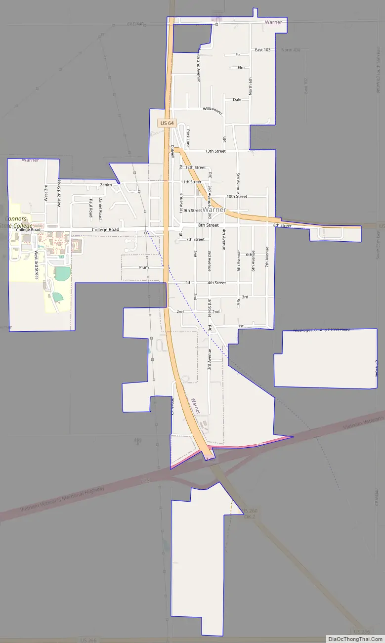
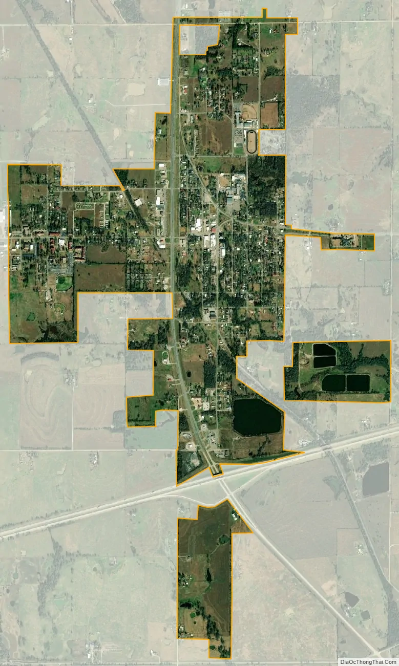
Warner city Satellite Map
Geography
Warner is located at 35°29′39″N 95°18′29″W / 35.49417°N 95.30806°W / 35.49417; -95.30806 (35.494085, -95.308179). It is 20 miles (32 km) south of Muskogee on U.S. Highway 64.
According to the United States Census Bureau, the town has a total area of 1.3 square miles (3.4 km), all land.
See also
Map of Oklahoma State and its subdivision:- Adair
- Alfalfa
- Atoka
- Beaver
- Beckham
- Blaine
- Bryan
- Caddo
- Canadian
- Carter
- Cherokee
- Choctaw
- Cimarron
- Cleveland
- Coal
- Comanche
- Cotton
- Craig
- Creek
- Custer
- Delaware
- Dewey
- Ellis
- Garfield
- Garvin
- Grady
- Grant
- Greer
- Harmon
- Harper
- Haskell
- Hughes
- Jackson
- Jefferson
- Johnston
- Kay
- Kingfisher
- Kiowa
- Latimer
- Le Flore
- Lincoln
- Logan
- Love
- Major
- Marshall
- Mayes
- McClain
- McCurtain
- McIntosh
- Murray
- Muskogee
- Noble
- Nowata
- Okfuskee
- Oklahoma
- Okmulgee
- Osage
- Ottawa
- Pawnee
- Payne
- Pittsburg
- Pontotoc
- Pottawatomie
- Pushmataha
- Roger Mills
- Rogers
- Seminole
- Sequoyah
- Stephens
- Texas
- Tillman
- Tulsa
- Wagoner
- Washington
- Washita
- Woods
- Woodward
- Alabama
- Alaska
- Arizona
- Arkansas
- California
- Colorado
- Connecticut
- Delaware
- District of Columbia
- Florida
- Georgia
- Hawaii
- Idaho
- Illinois
- Indiana
- Iowa
- Kansas
- Kentucky
- Louisiana
- Maine
- Maryland
- Massachusetts
- Michigan
- Minnesota
- Mississippi
- Missouri
- Montana
- Nebraska
- Nevada
- New Hampshire
- New Jersey
- New Mexico
- New York
- North Carolina
- North Dakota
- Ohio
- Oklahoma
- Oregon
- Pennsylvania
- Rhode Island
- South Carolina
- South Dakota
- Tennessee
- Texas
- Utah
- Vermont
- Virginia
- Washington
- West Virginia
- Wisconsin
- Wyoming