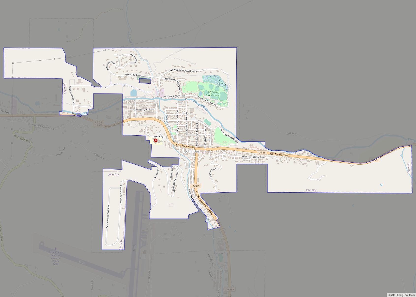
John Day is a city located about 2 miles (3.2 km) north of Canyon City in Grant County, Oregon, at the intersection of U.S. Routes 26 and 395. The city was named for the nearby John Day River, which, along with Dayville, had been named for a Virginia member of the 1811 Astor Expedition, John Day. The city was incorporated in 1901.
As of the 2020 census, the city had a total population of 1,664, making it the largest city in the county.
| Name: | John Day city |
|---|---|
| LSAD Code: | 25 |
| LSAD Description: | city (suffix) |
| State: | Oregon |
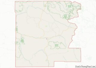
| County: | Grant County |
| Incorporated: | 1901 |
| Elevation: | 3,087 ft (941 m) |
| Total Area: | 2.26 sq mi (5.85 km²) |
| Land Area: | 2.26 sq mi (5.85 km²) |
| Water Area: | 0.00 sq mi (0.00 km²) |
| Total Population: | 1,664 |
| Population Density: | 740/sq mi (280/km²) |
| ZIP code: | 97845 |
| Area code: | 458 and 541 |
| FIPS code: | 4137550 |
| GNISfeature ID: | 1144303 |
| Website: | www.cityofjohnday.com |
Online Interactive Map
Click on ![]() to view map in "full screen" mode.
to view map in "full screen" mode.
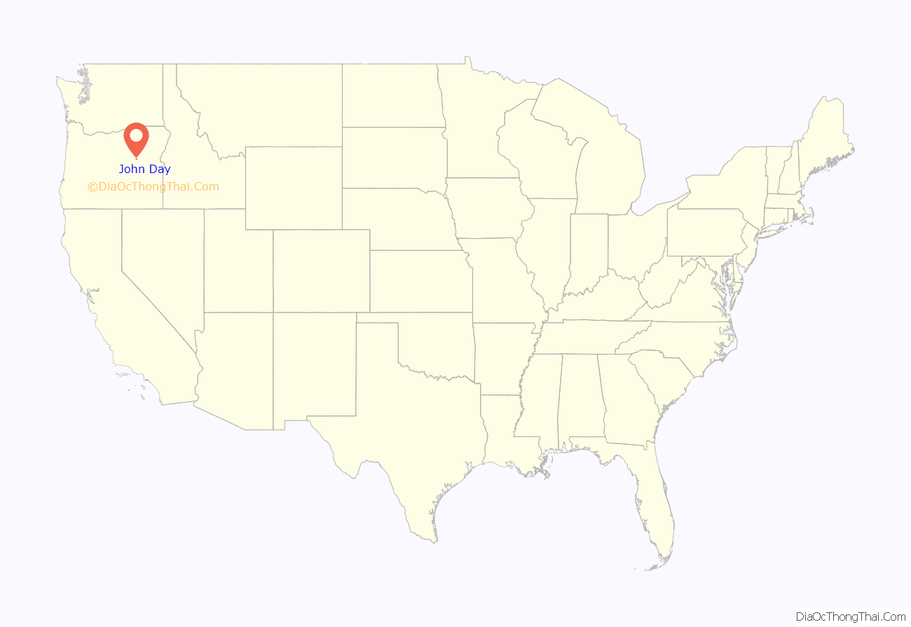
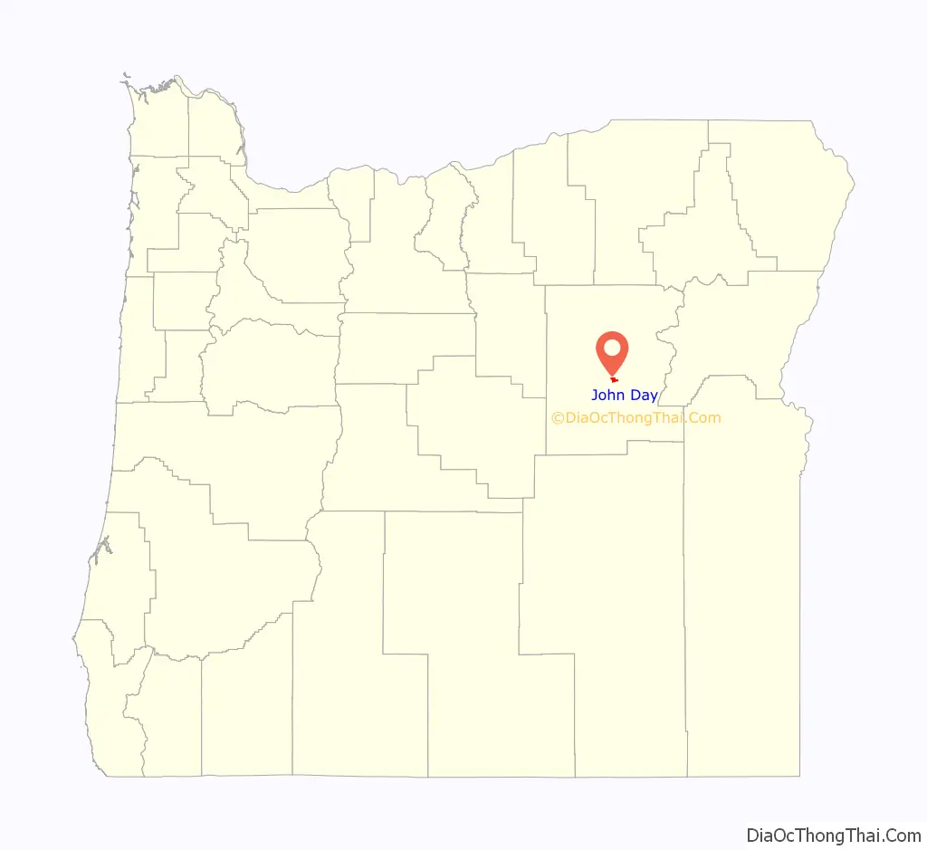
John Day location map. Where is John Day city?
History
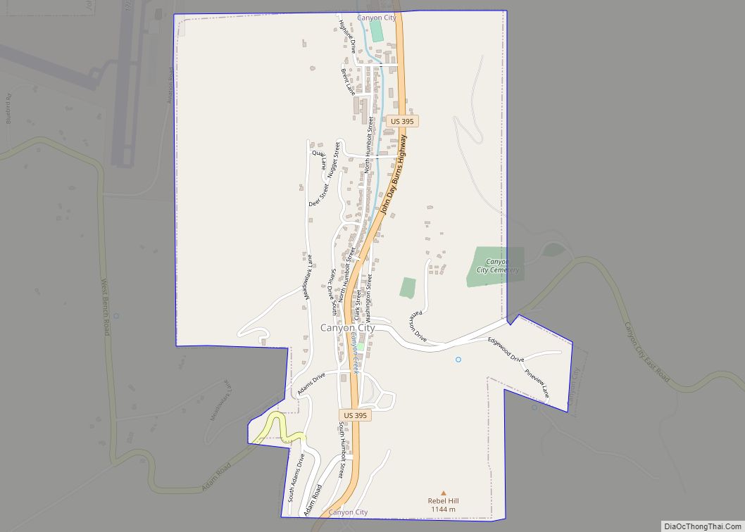
The first homestead staked in Grant County (what was then Wasco County), in 1862 by B. C. Trowbridge, was within the limits of the present city of John Day. The Eastern Oregon community was not as quick to grow as neighboring Canyon City, which was the county seat and center of the bustling mining industry in the area. Incrementally, local merchants and residents began relocating to John Day—primarily each time after severe fires in Canyon City: the Grant County Courthouse burned in 1870, Chinatown burned in 1885, and fires in 1898 and 1937 each devastated Canyon City’s downtown.
The first post office at “John Day City” was established in 1865, but was discontinued in 1871. It was reestablished in 1879 with the name John Day. In April 1900, a local committee was elected, and the Oregon Legislature approved an Act incorporating the city of John Day on February 23, 1901. The largest part of early John Day was composed of the Chinese community, commonly called Tiger Town. In 1882, the Advent Christian Church in John Day had 547 members, 382 of whom were Chinese (and a number of Chinese residents were interred in the Seventh Day Adventist Cemetery). By 1887, John Day was home to nearly 1,000 Chinese immigrants, who had been attracted to the area by a gold rush 20 years earlier, many of whom were displaced by the 1885 fire in Canyon City.
A trading post built in the area in the 1860s along The Dalles Military Road was purchased in 1887 by two Chinese immigrants, Lung On and Ing Hay. They converted the trading post into a clinic, general store, and social center for the community, which continued to operate until the 1940s. In the 1970s the building, then the property of the city of John Day, was converted into a museum called the Kam Wah Chung & Co. Museum. It is now operated in conjunction with the Oregon Parks and Recreation Department and is one of the premier surviving examples of a 19th-century Chinese apothecary shop. It was designated a National Historic Landmark in 2005.
John Day Road Map

John Day city Satellite Map

Geography
John Day is at an elevation of 3,087 feet (941 m). According to the United States Census Bureau, the city has a total area of 1.87 square miles (4.84 km), all land.
John Day is surrounded by the Strawberry Mountains to the south and the Blue Mountains to the east.
Geology
The bedrock geology of the John Day area is a complex assemblage of Permian to Triassic age metamorphic and igneous rocks which were added to the western North American continental margin by tectonic activity in the Triassic and Jurassic Periods. Cenozoic age volcanic rocks related to the long-lived Columbia River Basalt emplacement were deposited above these bedrock units.
The area around John Day contains some of the most important paleontological resources known. From about the time the dinosaurs disappeared right up until the Pleistocene, the region was subjected to significant volcanism and other processes that preserved many fossils. Because the matrix in which the fossils are entombed is datable, the fossils themselves can be dated with excellent precision. This gives paleontologists the ability to study how species changed over time and also how the relationship between ecosystems and climate changed.
Climate
Despite its warm, dry climate and inland location, John Day has as an oceanic climate (Cfb) according to the Köppen climate classification system. However, it nearly qualifies as a steppe climate (Köppen BSk) due to its relative aridity, and as a humid continental climate (Köppen Dfb) due to its cold winter temperatures.
See also
Map of Oregon State and its subdivision: Map of other states:- Alabama
- Alaska
- Arizona
- Arkansas
- California
- Colorado
- Connecticut
- Delaware
- District of Columbia
- Florida
- Georgia
- Hawaii
- Idaho
- Illinois
- Indiana
- Iowa
- Kansas
- Kentucky
- Louisiana
- Maine
- Maryland
- Massachusetts
- Michigan
- Minnesota
- Mississippi
- Missouri
- Montana
- Nebraska
- Nevada
- New Hampshire
- New Jersey
- New Mexico
- New York
- North Carolina
- North Dakota
- Ohio
- Oklahoma
- Oregon
- Pennsylvania
- Rhode Island
- South Carolina
- South Dakota
- Tennessee
- Texas
- Utah
- Vermont
- Virginia
- Washington
- West Virginia
- Wisconsin
- Wyoming