Somerville (/ˈsʌmərvɪl/ SUM-ər-vil) is a city located directly to the northwest of Boston, and north of Cambridge, in Middlesex County, Massachusetts, United States. As of the 2020 United States Census, the city had a total population of 81,045 people. With an area of 4.12 square miles (10.7 km), the city has a density of 19,671/sq mi (7,595/km), making it the most densely populated municipality in New England and the 16th most densely populated incorporated municipality in the country. Somerville was established as a town in 1842, when it was separated from Charlestown. In 2006, the city was named the best-run city in Massachusetts by The Boston Globe. In 1972, 2009, and 2015, the city received the All-America City Award. It is home to Tufts University, which has its campus along the Somerville and Medford border.
| Name: | Somerville city |
|---|---|
| LSAD Code: | 25 |
| LSAD Description: | city (suffix) |
| State: | Massachusetts |
| County: | Middlesex County |
| Elevation: | 12 ft (4 m) |
| Total Area: | 4.22 sq mi (10.94 km²) |
| Land Area: | 4.12 sq mi (10.68 km²) |
| Water Area: | 0.10 sq mi (0.26 km²) |
| Total Population: | 81,045 |
| Population Density: | 19,652.04/sq mi (7,588.17/km²) |
| Area code: | 617 / 857 |
| FIPS code: | 2562535 |
| Website: | somervillema.gov |
Online Interactive Map
Click on ![]() to view map in "full screen" mode.
to view map in "full screen" mode.
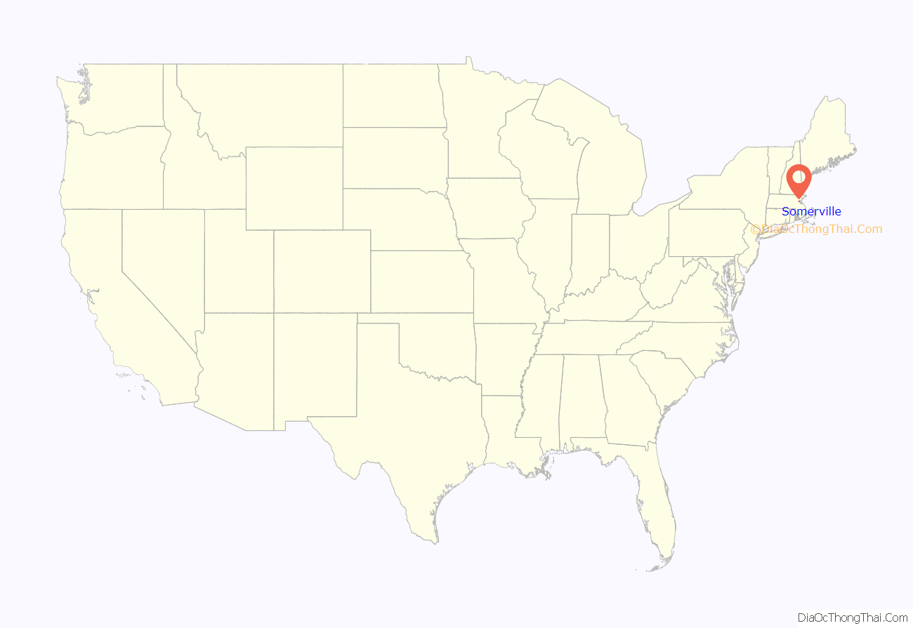
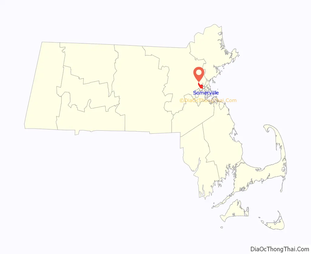
Somerville location map. Where is Somerville city?
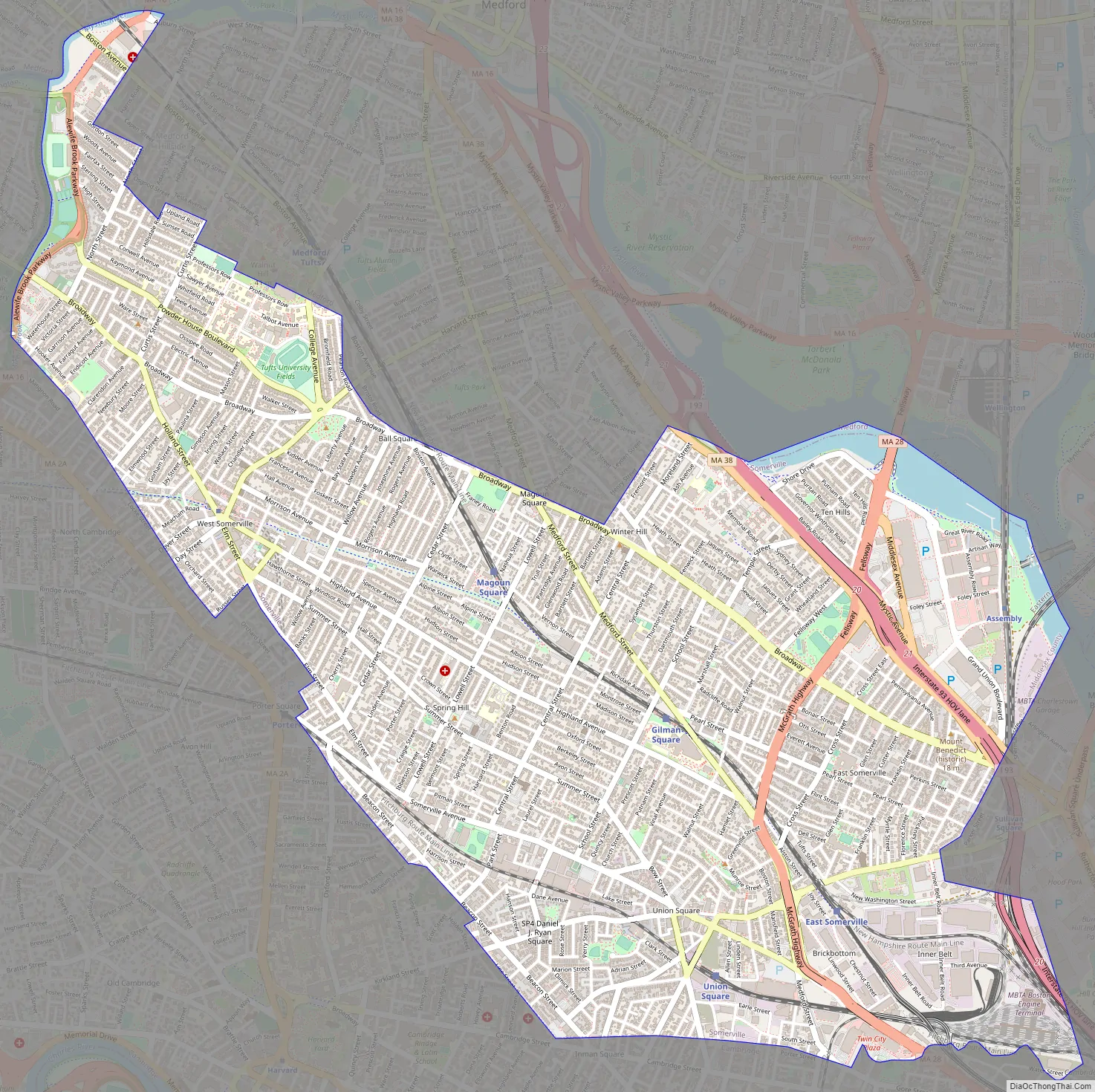
Somerville Road Map
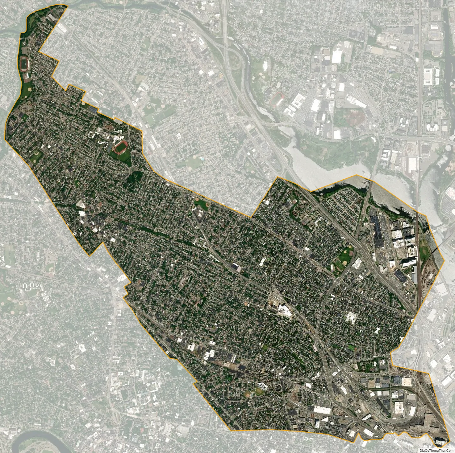
Somerville city Satellite Map
Geography
According to the United States Census Bureau, Somerville has a total area of 4.2 square miles (11 km), of which 4.1 square miles (11 km) is land and 0.1 square miles (0.26 km), or 2.61%, is water. Somerville is bordered by the cities of Cambridge, Medford, Everett, Arlington and the Boston neighborhood of Charlestown. It is located on the west bank of the Mystic River.
Millennia ago, glaciation left a series of drumlins running west to east across the landscape of what would become Somerville. These ridges would later become known as the “Seven Hills” of Somerville (like many other cities claiming to be built on seven hills, following the seven hills of Rome):
- Central Hill
- Clarendon Hill
- Cobble Hill
- Ploughed Hill (or Mount Benedict)
- Prospect Hill (or Mount Pisgah)
- Spring Hill
- Winter Hill
These hills rise from the floodplain of the Mystic River, and generally run west to east, providing for beautiful vistas of Boston to the south and Medford/Everett to the north. Physical boundaries are also defined by prominent waterways: the Mystic River to the north, its tributary Alewife Brook to the west, and the Miller’s River to the southeast.
Land in early Somerville was used primarily as grazing commons and small farms. After the proliferation of the railroads in the area during the mid-1800s, industrialization transformed the landscape. In the 1800s, the Millers River was used as a sewer and dumping ground for local industry and would be ordered filled by the Commonwealth before the end of the century, for health reasons. As a result of landfill and the elimination of former Cobble Hill, the Millers River marsh was turned into railyards, slaughterhouses and other large-scale land uses.
Squares and neighborhoods
Somerville’s commercial property is not concentrated in a recognized downtown central business district but instead is spread over many different nodes or corridors of business activity. The difference in character ranges from the vibrant nightlife, live music and theaters of Davis Square to the large scale retail and highway access of Assembly Square. This spatial allocation is directly related to the early influence of rail and streetcar systems which caused economic activity to occur at stops. The other key factor in the creation of commercial squares is the area’s topography. The numerous hills making up Somerville’s landscape determined where road networks would allow neighborhood commercial development.
Somerville has a number of squares that are centers for business and entertainment, as well as a number of other neighborhoods:
- Assembly Square
- Ball Square
- Brickbottom (north of McGrath Highway, south of Inner Belt District)
- Clarendon Hill (near Broadway and Arlington border)
- Davis Square (considered West Somerville)
- Duck Village (north of Beacon Street, just west of Union Square)
- East Somerville (East of McGrath Highway, between Washington and Broadway Streets)
- Gilman Square (at the junction of Medford Street, Pearl Street, and Marshall Street)
- Inner Belt District
- Magoun Square
- Nunnery Grounds (Mount Benedict)
- Powder House Square
- Prospect Hill (part of Union Square)
- Spring Hill
- The States (streets named after U.S. states, between Broadway in East Somerville and I-93 near Assembly Square)
- Teele Square
- Ten Hills
- Tufts
- Union Square
- Wilson Square (Elm Street and Somerville Avenue), known as Oak Square before 1920
- Winter Hill
See also
Map of Massachusetts State and its subdivision: Map of other states:- Alabama
- Alaska
- Arizona
- Arkansas
- California
- Colorado
- Connecticut
- Delaware
- District of Columbia
- Florida
- Georgia
- Hawaii
- Idaho
- Illinois
- Indiana
- Iowa
- Kansas
- Kentucky
- Louisiana
- Maine
- Maryland
- Massachusetts
- Michigan
- Minnesota
- Mississippi
- Missouri
- Montana
- Nebraska
- Nevada
- New Hampshire
- New Jersey
- New Mexico
- New York
- North Carolina
- North Dakota
- Ohio
- Oklahoma
- Oregon
- Pennsylvania
- Rhode Island
- South Carolina
- South Dakota
- Tennessee
- Texas
- Utah
- Vermont
- Virginia
- Washington
- West Virginia
- Wisconsin
- Wyoming


