Coventry /ˈkɒvəntri/ is a town in Orleans County, Vermont, United States. The population was 1,100 at the 2020 census.
| Name: | Coventry CDP |
|---|---|
| LSAD Code: | 57 |
| LSAD Description: | CDP (suffix) |
| State: | Vermont |
| County: | Orleans County |
| Elevation: | 218 ft (276 m) |
| Total Area: | 27.7 sq mi (71.7 km²) |
| Land Area: | 27.5 sq mi (71.1 km²) |
| Water Area: | 0.2 sq mi (0.6 km²) |
| Total Population: | 1,100 |
| Population Density: | 40/sq mi (15.5/km²) |
| ZIP code: | 05825 |
| Area code: | 802 |
| FIPS code: | 5016075 |
| GNISfeature ID: | 1462077 |
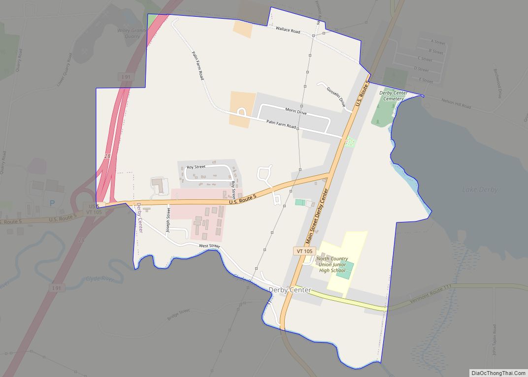
Online Interactive Map
Click on ![]() to view map in "full screen" mode.
to view map in "full screen" mode.
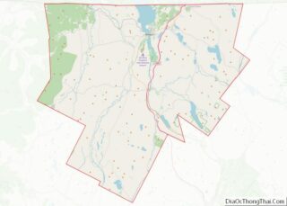
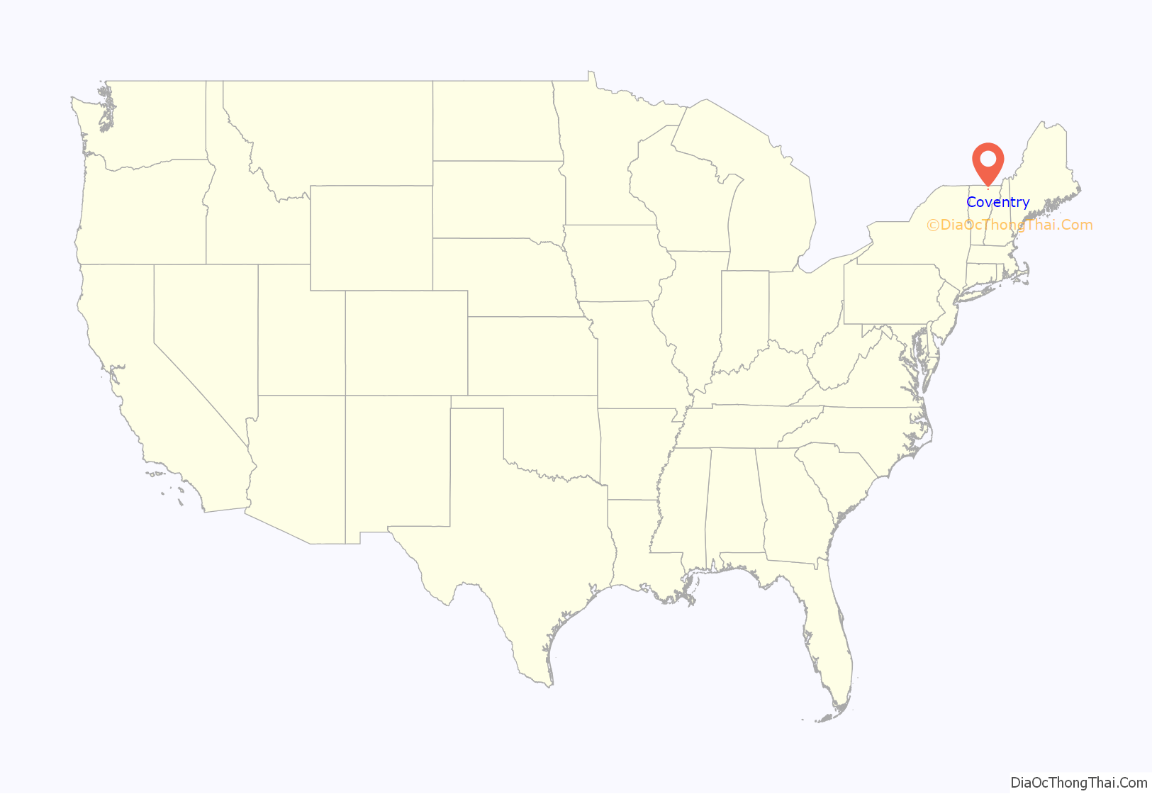
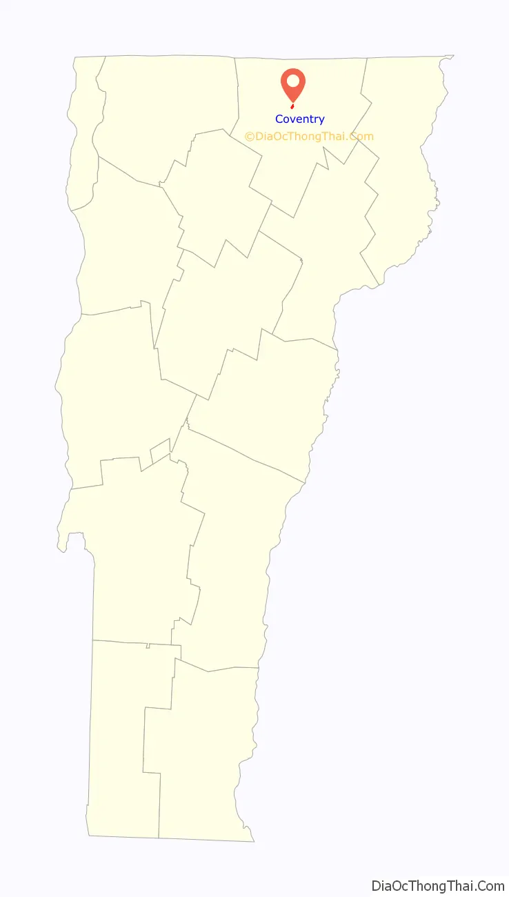
Coventry location map. Where is Coventry CDP?
History
Etymology
Coventry was named for the birthplace of one of the founders, Major Elias Buel, who was born in Coventry, Connecticut.
Post bellum
A record exists from 1860, showing that the “Artillery Company” of the 3rd Regiment mustered for annual drill on June 5. An inventory shows they possessed one six pound brass cannon.
In 1861, the 3rd Vermont Infantry, Company B, was recruited in part from Coventry.
In the September 9, 1977, episode of Hee Haw, Coventry was saluted for its population of 300.
Coventry festival
In 2004, what was billed as the final concert of the band Phish was held in Coventry on August 14–15. The concert was the single largest gathering of people in the town’s history. Some fans had to be turned back due to heavy rains. Even so, with 65,000 attendees Coventry’s augmented population was the largest in the state at that time, outranking Burlington, Vermont, which had around 39,000 people in the 2000 census.
The Phish concert was a two-day event (August 14–15, 2004), held at the Newport State Airport. People began arriving early Friday morning and shortly after the roads became congested. On Friday morning, it had rained. The soft land in the parking area had turned to mud. Cars were then turned away. Instead of driving home, they parked their cars on the median of Interstate 91, choosing to walk the rest of the way to the concert.
Dozens of pairs of shoes, sandals and boots were lost due to the thick mud. On Sunday, at the end of the concert, tractors were brought over to help pull cars out of the mud.
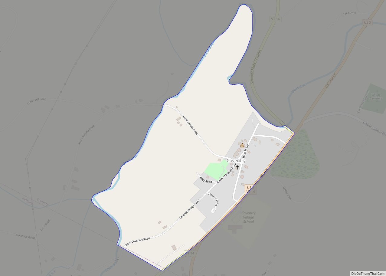
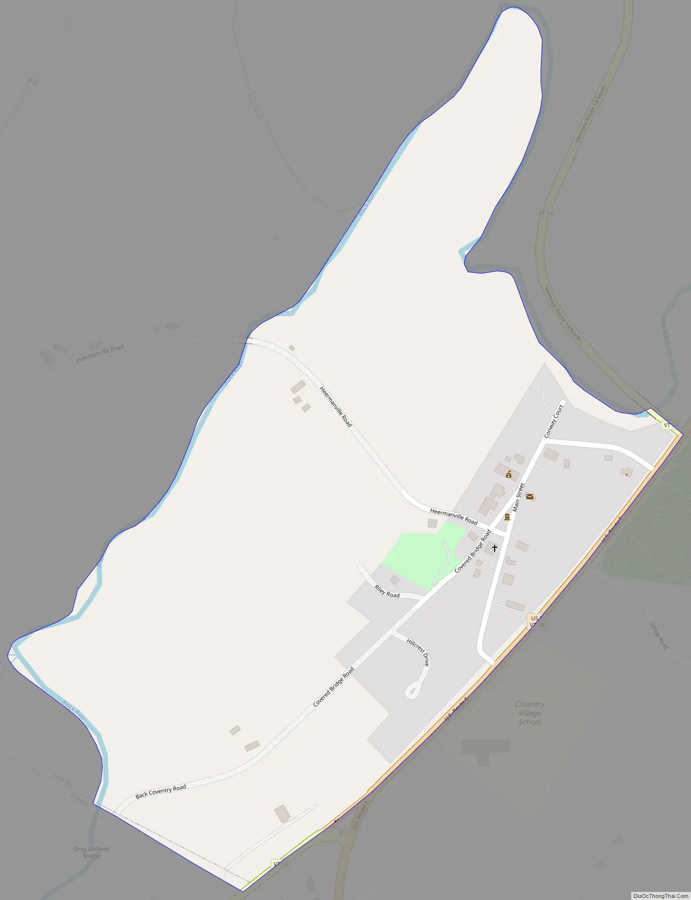
Coventry Road Map
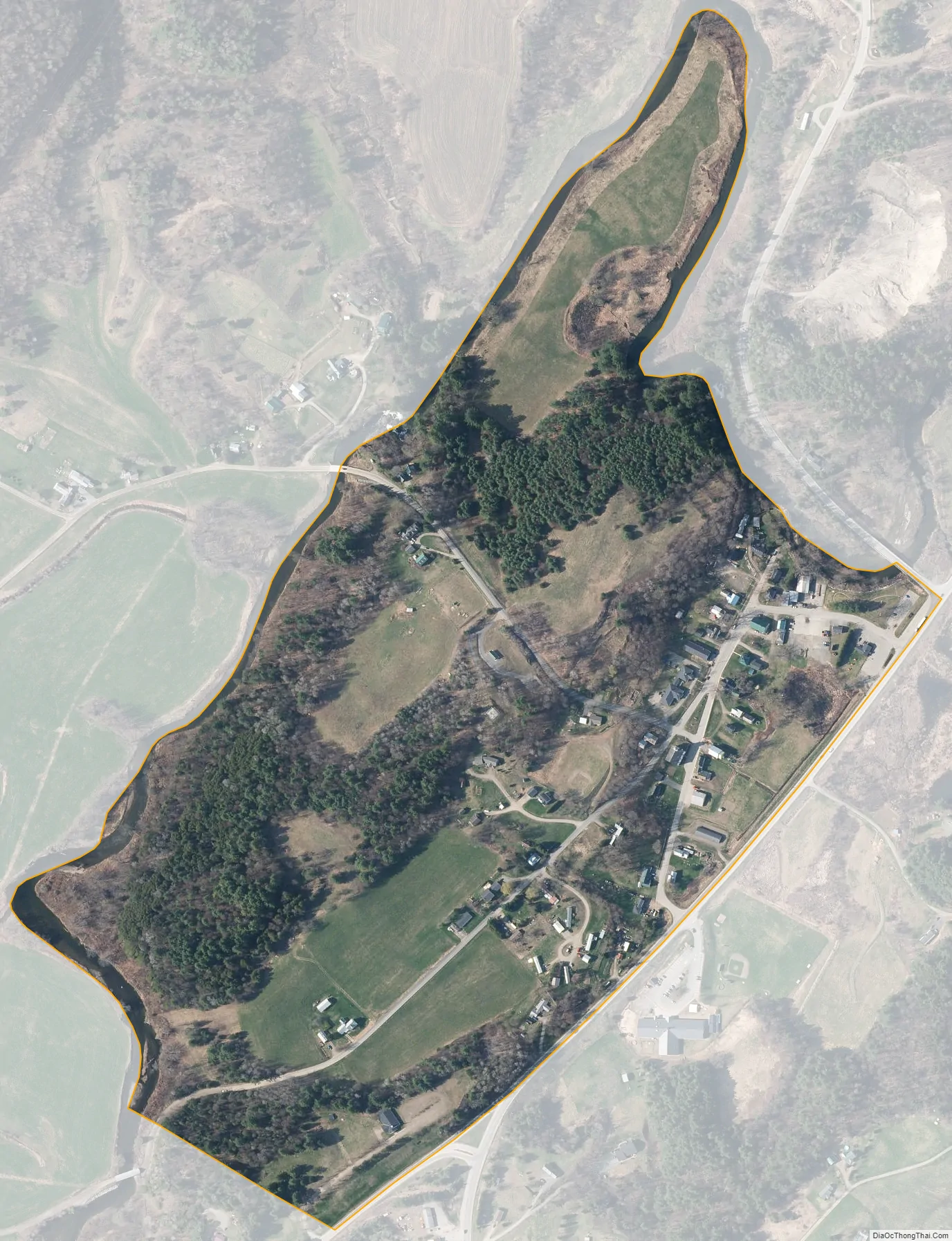
Coventry city Satellite Map
Geography
According to the United States Census Bureau, the town has a total area of 27.7 square miles (71.7 km), of which 27.5 square miles (71.1 km) is land and 0.2 square mile (0.6 km) (0.80%) is water. It contains the smallest area of any town in the county. However, the city of Newport is smaller in area. The village of Coventry is in the southern part of the town.
The Black River flows an east-northeasterly course through the central part of the town until it joins the South Bay of Lake Memphremagog in Newport. For approximately the last 4.7 miles (7.6 km), the river is part of the state’s South Bay Wildlife Management Area.
South Bay Wildlife Management Area is located mostly in Coventry but also in the adjacent town of Newport at the southern part of Lake Memphremagog. This is a large wetland and floodplain forest, red maple and white cedar swamp, along the Black River.
The Barton River flows through Coventry, east of the Black River, and then into Lake Memphremagog.
See also
Map of Vermont State and its subdivision: Map of other states:- Alabama
- Alaska
- Arizona
- Arkansas
- California
- Colorado
- Connecticut
- Delaware
- District of Columbia
- Florida
- Georgia
- Hawaii
- Idaho
- Illinois
- Indiana
- Iowa
- Kansas
- Kentucky
- Louisiana
- Maine
- Maryland
- Massachusetts
- Michigan
- Minnesota
- Mississippi
- Missouri
- Montana
- Nebraska
- Nevada
- New Hampshire
- New Jersey
- New Mexico
- New York
- North Carolina
- North Dakota
- Ohio
- Oklahoma
- Oregon
- Pennsylvania
- Rhode Island
- South Carolina
- South Dakota
- Tennessee
- Texas
- Utah
- Vermont
- Virginia
- Washington
- West Virginia
- Wisconsin
- Wyoming