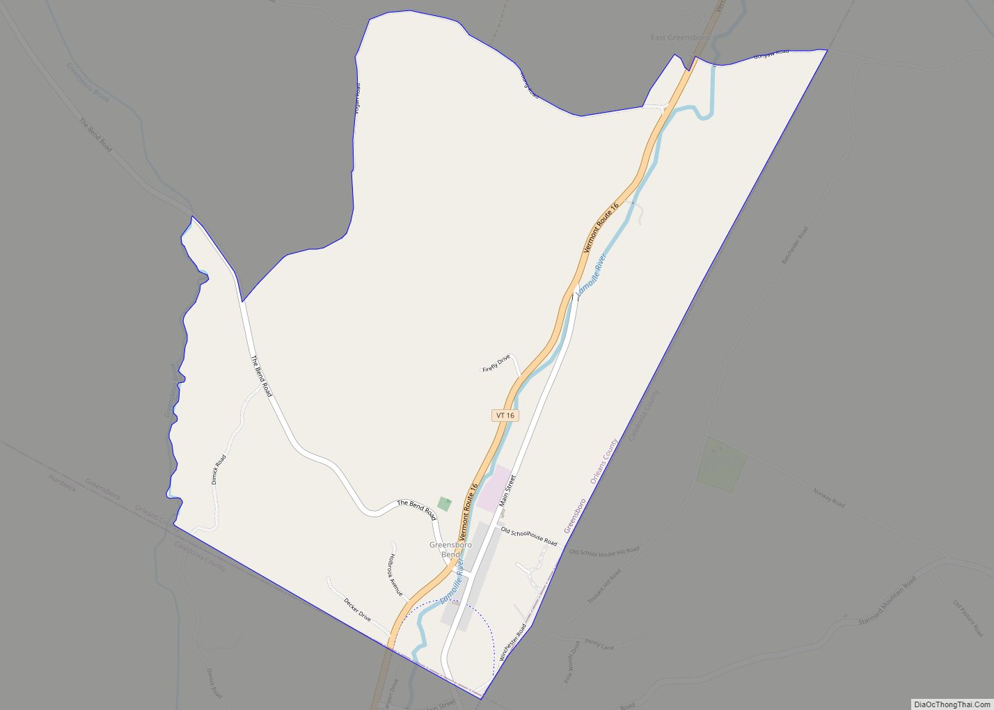
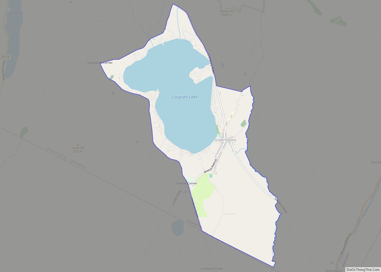
Greensboro is the central village and a census-designated place (CDP) in the town of Greensboro, Orleans County, Vermont, United States. As of the 2020 census, it had a population of 156, out of 811 in the entire town of Greensboro.
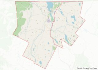
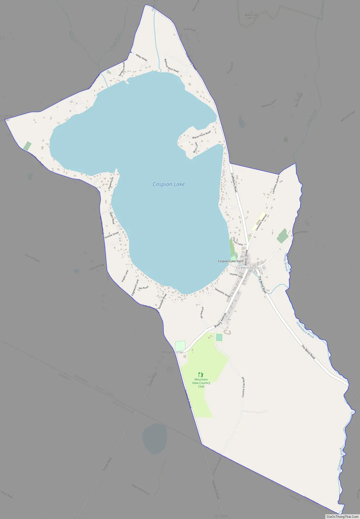
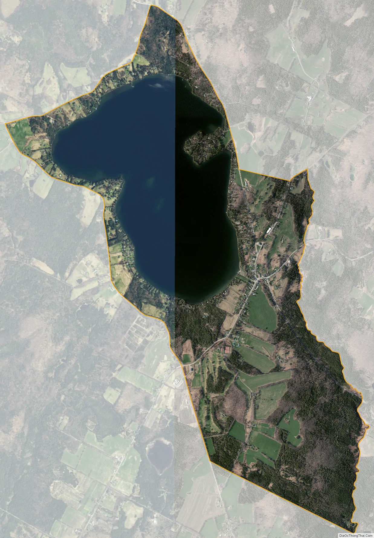
The CDP is in southern Orleans County, stretching from the center to the southern border of the town of Greensboro. It is bordered to the south by the town of Hardwick in Caledonia County and to the southeast by the CDP of Greensboro Bend. The village center sits at the outlet (the southeast end) of Caspian Lake and includes the lake’s entire shoreline. The lake drains south via Greensboro Brook to the Lamoille River, a west-flowing tributary of Lake Champlain. The intersection known as Tolman Corner is on the southwest border of the CDP.
No numbered state highways pass through the community. Greensboro is 6 miles (10 km) northeast of Hardwick village and 17 miles (27 km) southwest of Barton.
| Name: | Greensboro CDP |
|---|---|
| LSAD Code: | 57 |
| LSAD Description: | CDP (suffix) |
| State: | Vermont |
| County: | Orleans County |
| Elevation: | 1,380 ft (420 m) |
| Total Area: | 3.82 sq mi (9.90 km²) |
| Land Area: | 2.59 sq mi (6.71 km²) |
| Water Area: | 1.23 sq mi (3.18 km²) |
| ZIP code: | 05841 |
| Area code: | 802 |
| FIPS code: | 5030100 |
| GNISfeature ID: | 2586633 |
Online Interactive Map
Click on ![]() to view map in "full screen" mode.
to view map in "full screen" mode.
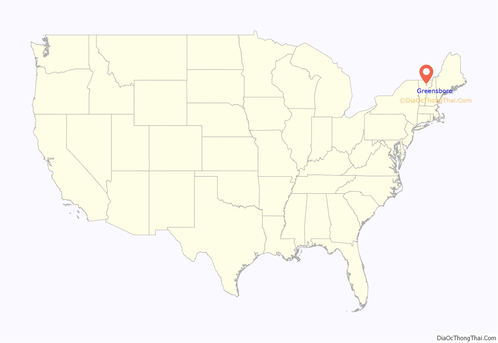
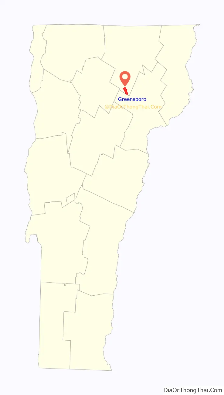
Greensboro location map. Where is Greensboro CDP?
Greensboro Road Map
Greensboro city Satellite Map
See also
Map of Vermont State and its subdivision: Map of other states:- Alabama
- Alaska
- Arizona
- Arkansas
- California
- Colorado
- Connecticut
- Delaware
- District of Columbia
- Florida
- Georgia
- Hawaii
- Idaho
- Illinois
- Indiana
- Iowa
- Kansas
- Kentucky
- Louisiana
- Maine
- Maryland
- Massachusetts
- Michigan
- Minnesota
- Mississippi
- Missouri
- Montana
- Nebraska
- Nevada
- New Hampshire
- New Jersey
- New Mexico
- New York
- North Carolina
- North Dakota
- Ohio
- Oklahoma
- Oregon
- Pennsylvania
- Rhode Island
- South Carolina
- South Dakota
- Tennessee
- Texas
- Utah
- Vermont
- Virginia
- Washington
- West Virginia
- Wisconsin
- Wyoming