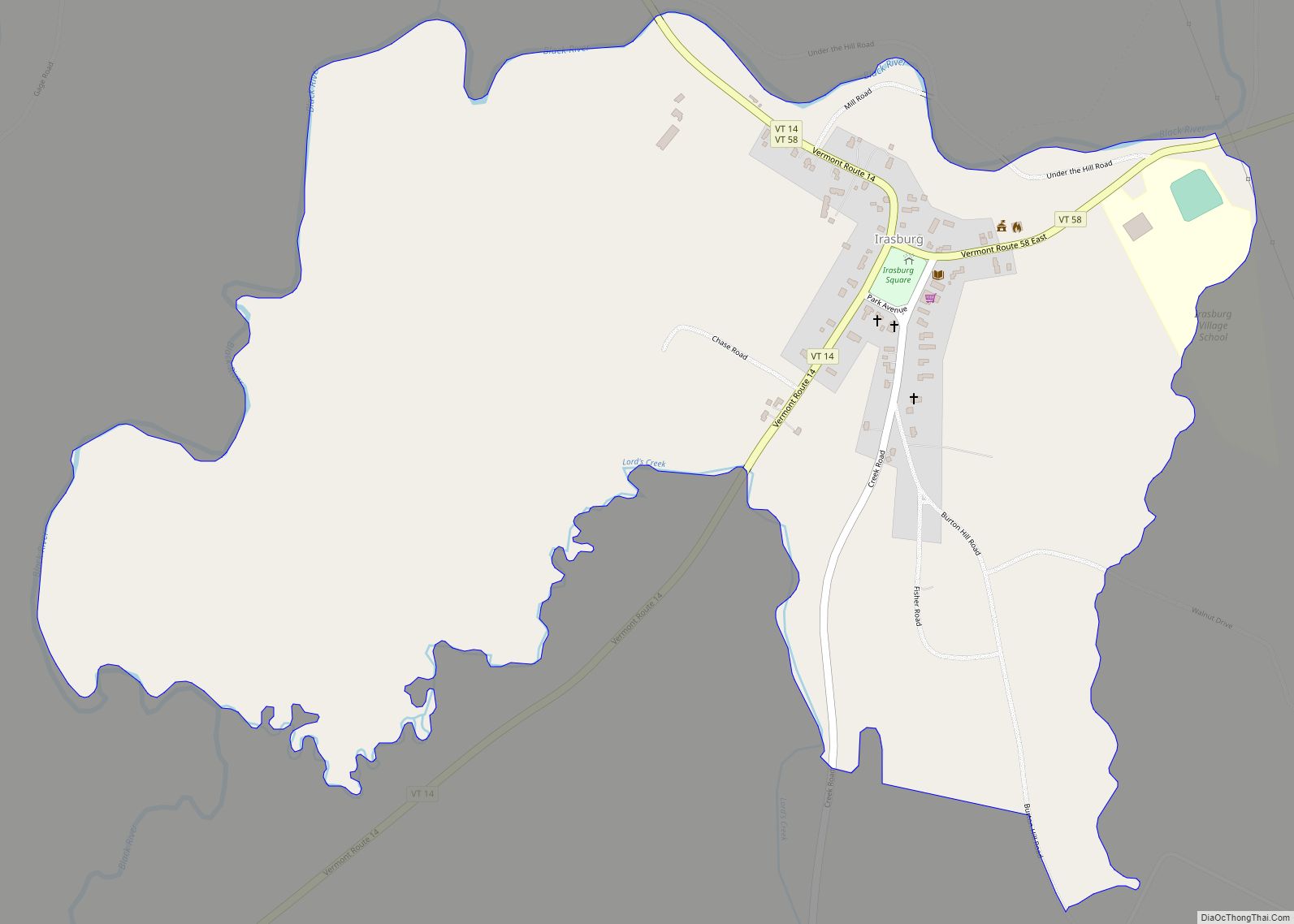
Irasburg is the primary village and a census-designated place (CDP) in the town of Irasburg, Orleans County, Vermont, United States. As of the 2020 census, it had a population of 159, out of 1,233 in the entire town of Irasburg.
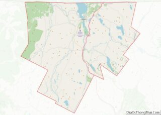
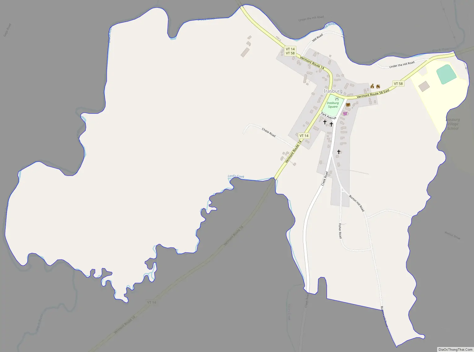
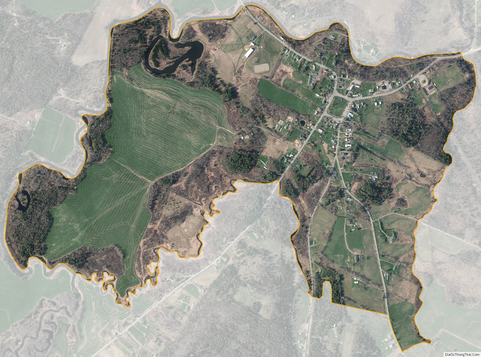
The CDP is in central Orleans County, south of the geographic center of the town. The Black River, a tributary of Lake Memphremagog, flows through the community, passing north of the village center which is sited on a hilltop.
Vermont Route 14 passes through the village, leading north 5 miles (8 km) to Coventry and southwest 7 miles (11 km) to Albany. Vermont Route 58 joins Route 14 in the village center but leads east 4 miles (6 km) to Orleans and west 9 miles (14 km) to Lowell. Newport, the county seat, is 11 miles (18 km) to the northeast of Irasburg.
| Name: | Irasburg CDP |
|---|---|
| LSAD Code: | 57 |
| LSAD Description: | CDP (suffix) |
| State: | Vermont |
| County: | Orleans County |
| Elevation: | 945 ft (288 m) |
| Total Area: | 1.00 sq mi (2.59 km²) |
| Land Area: | 0.98 sq mi (2.54 km²) |
| Water Area: | 0.02 sq mi (0.04 km²) |
| ZIP code: | 05845 |
| Area code: | 802 |
| FIPS code: | 5035500 |
| GNISfeature ID: | 2586641 |
Online Interactive Map
Click on ![]() to view map in "full screen" mode.
to view map in "full screen" mode.
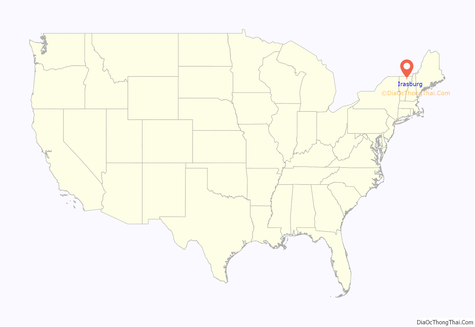
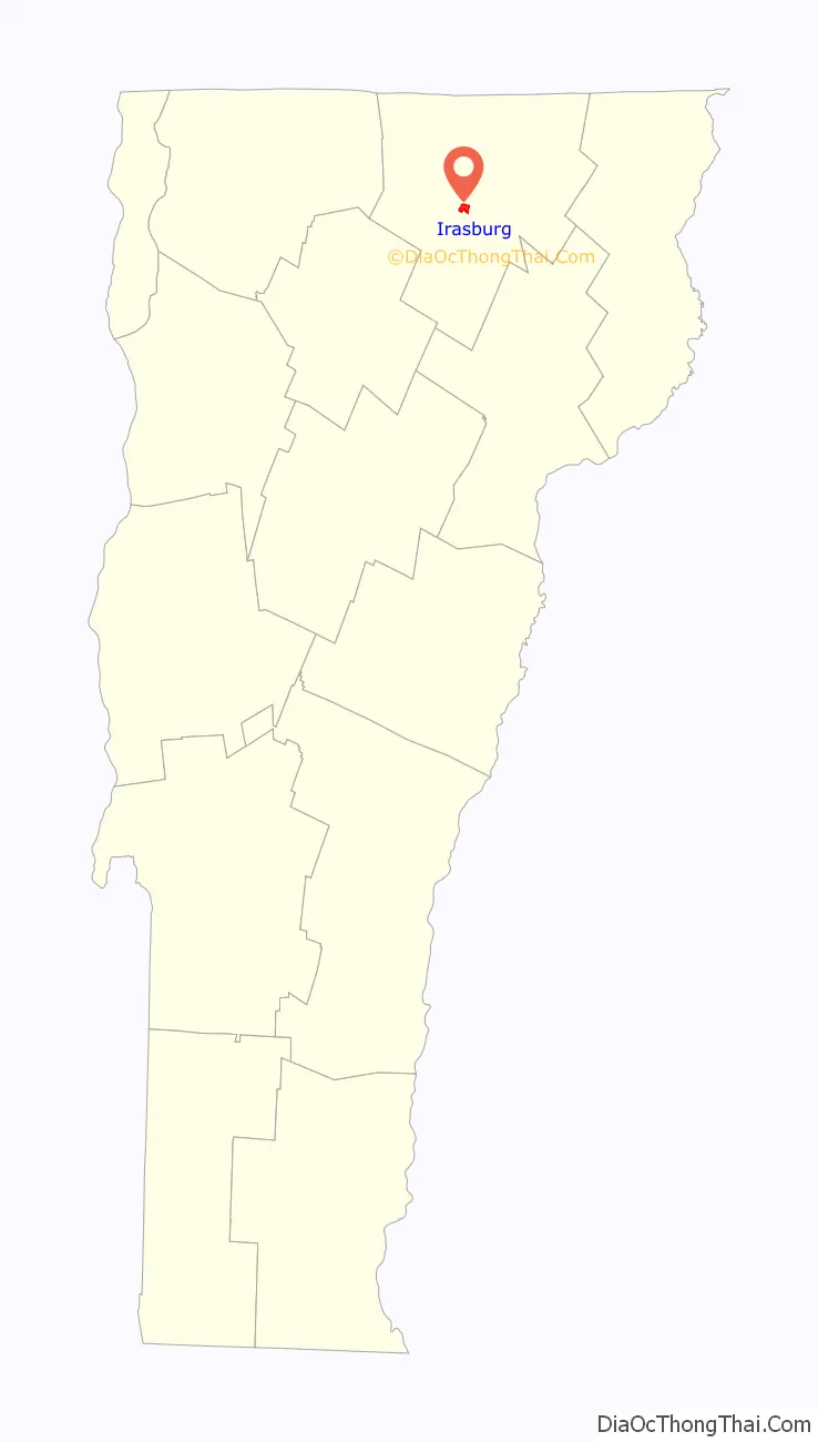
Irasburg location map. Where is Irasburg CDP?
Irasburg Road Map
Irasburg city Satellite Map
See also
Map of Vermont State and its subdivision: Map of other states:- Alabama
- Alaska
- Arizona
- Arkansas
- California
- Colorado
- Connecticut
- Delaware
- District of Columbia
- Florida
- Georgia
- Hawaii
- Idaho
- Illinois
- Indiana
- Iowa
- Kansas
- Kentucky
- Louisiana
- Maine
- Maryland
- Massachusetts
- Michigan
- Minnesota
- Mississippi
- Missouri
- Montana
- Nebraska
- Nevada
- New Hampshire
- New Jersey
- New Mexico
- New York
- North Carolina
- North Dakota
- Ohio
- Oklahoma
- Oregon
- Pennsylvania
- Rhode Island
- South Carolina
- South Dakota
- Tennessee
- Texas
- Utah
- Vermont
- Virginia
- Washington
- West Virginia
- Wisconsin
- Wyoming