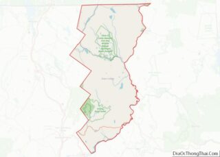
Island Pond is a census-designated place (CDP) in the town of Brighton in Essex County, Vermont, United States. The population was 750 at the 2020 census. It is part of the Berlin, NH–VT Micropolitan Statistical Area.
| Name: | Island Pond CDP |
|---|---|
| LSAD Code: | 57 |
| LSAD Description: | CDP (suffix) |
| State: | Vermont |
| County: | Essex County |
| Elevation: | 1,198 ft (365 m) |
| Total Area: | 4.6 sq mi (11.8 km²) |
| Land Area: | 4.2 sq mi (10.8 km²) |
| Water Area: | 0.4 sq mi (1.0 km²) |
| Total Population: | 750 |
| Population Density: | 160/sq mi (64/km²) |
| ZIP code: | 05846 |
| Area code: | 802 |
| FIPS code: | 5035725 |
| GNISfeature ID: | 1457977 |
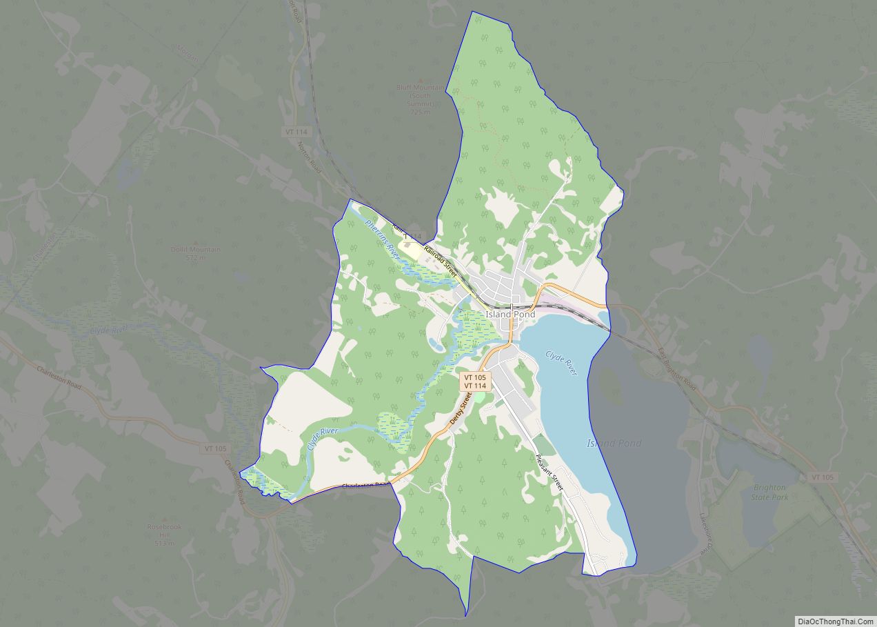
Online Interactive Map
Click on ![]() to view map in "full screen" mode.
to view map in "full screen" mode.
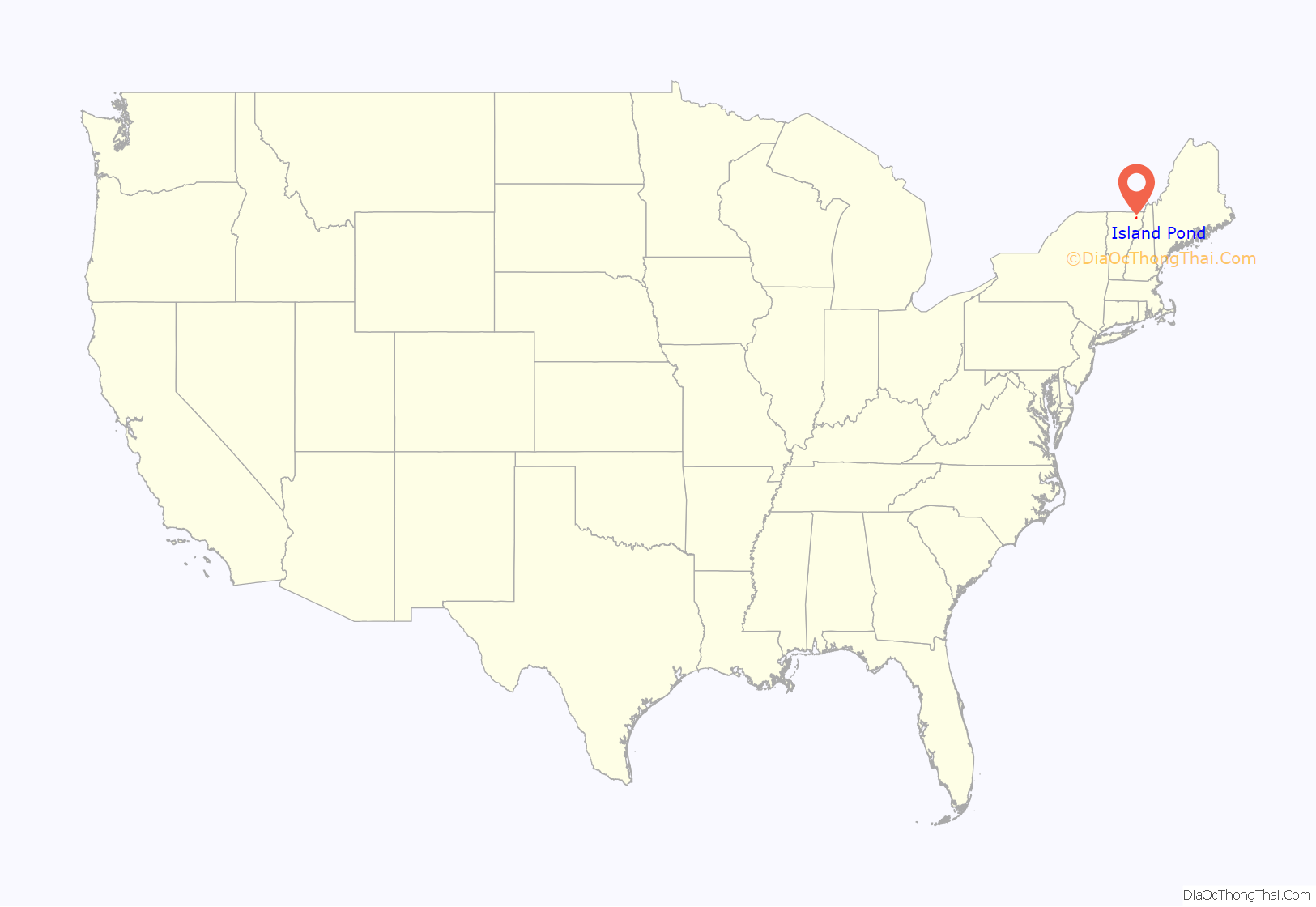
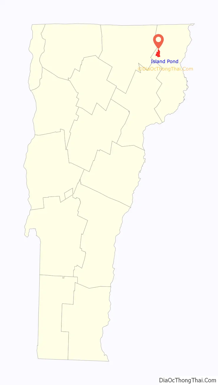
Island Pond location map. Where is Island Pond CDP?
History
The railroad
Island Pond became an important railroad center in 1853 when the Grand Trunk Railway established international connections between Montreal, Quebec, and Portland, Maine. The half-way point in the Portland-Montreal railroad line, this town became a booming railroad center with a roundhouse, shops, and all the facilities associated with train operations. In 1923 the Grand Trunk Railway of Canada was bankrupt and taken over by the Canadian government and operated as the Canadian National Railways. With the Canadian government directing the railroad, political considerations soon outweighed the economics of the railroad; commerce was displaced from the port of Portland to the Canadian ports of Halifax and St. John. The importance of the Portland line then began a decline which was never to be reversed. Island Pond’s days as a major railroad town were over by the late 1950s due to the elimination of steam locomotives. By 1960 passenger train service to Portland had ended, and three years later the diesel locomotive shop was closed. In 1966 the roundhouse closed, and barely a skeleton staff of people worked in Island Pond. Canadian National continued to operate freight service to Portland until 1988; the following year the line was sold to a short line operator, the St. Lawrence & Atlantic Railroad, which provides service to this day.
Today, only the passenger station remains and is used by a bank. The Island Pond Historical Society once housed on the upper floors, is now located at 126 Cross Street. Ref: islandpondhistoricalsociety.com
The Twelve Tribes
Island Pond became the home of the Twelve Tribes when the religious movement relocated to Island Pond from Tennessee in 1977. The group, led by Yoneq Gene Spriggs, sought shelter from the opposition it met elsewhere, although it continually faced opposition which culminated in the Island Pond raid in 1984 where state police and state social workers seized 112 children due to allegations of child abuse. The children were returned the same day upon a determination that the raid was unconstitutional, and no trial was held on the evidence of abuse the state found. Nevertheless, the “Island Pond Raid” retains its notoriety.
Traffic enforcement
In 2007, the Brighton Constable Theodore “Ted” Miller’s strict enforcement of traffic regulations became the subject of nationwide coverage. In 2006 alone, 1,224 tickets and 1,662 warnings were issued.
Island Pond Road Map
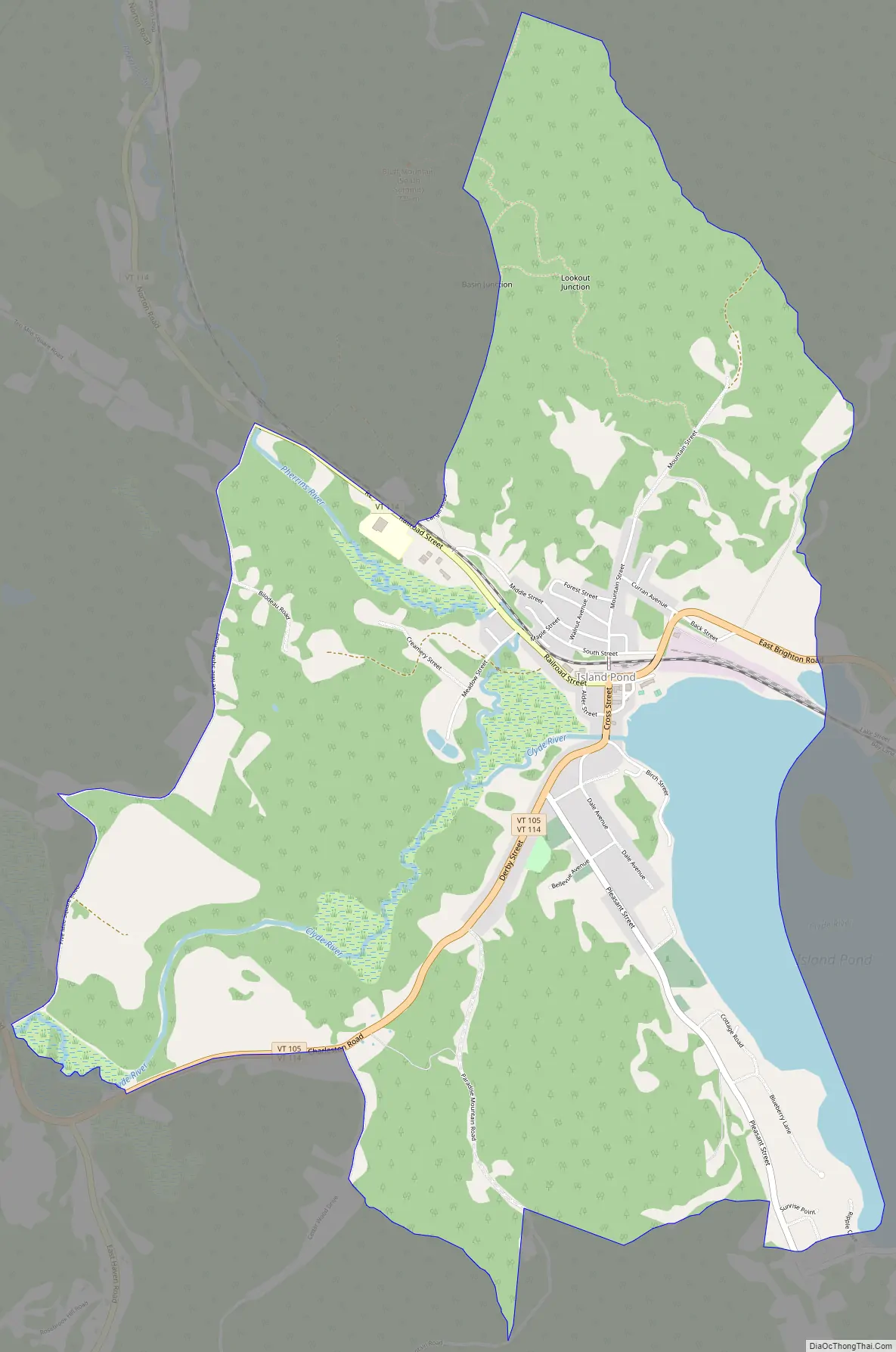
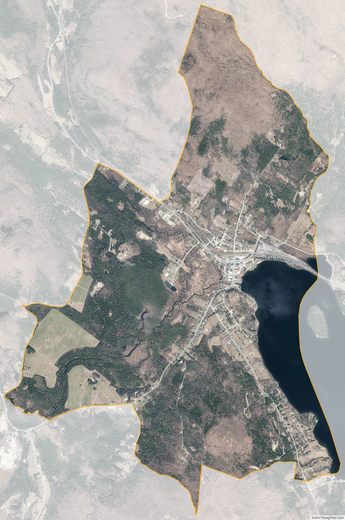
Island Pond city Satellite Map
Geography
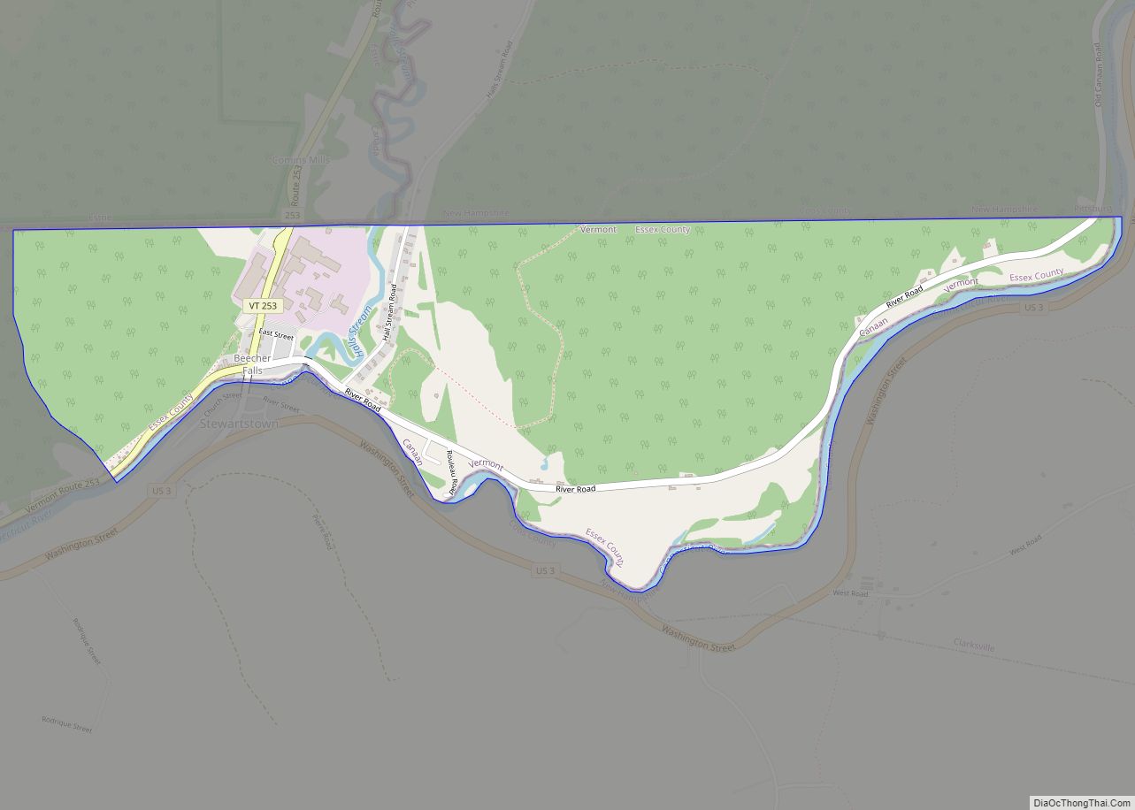
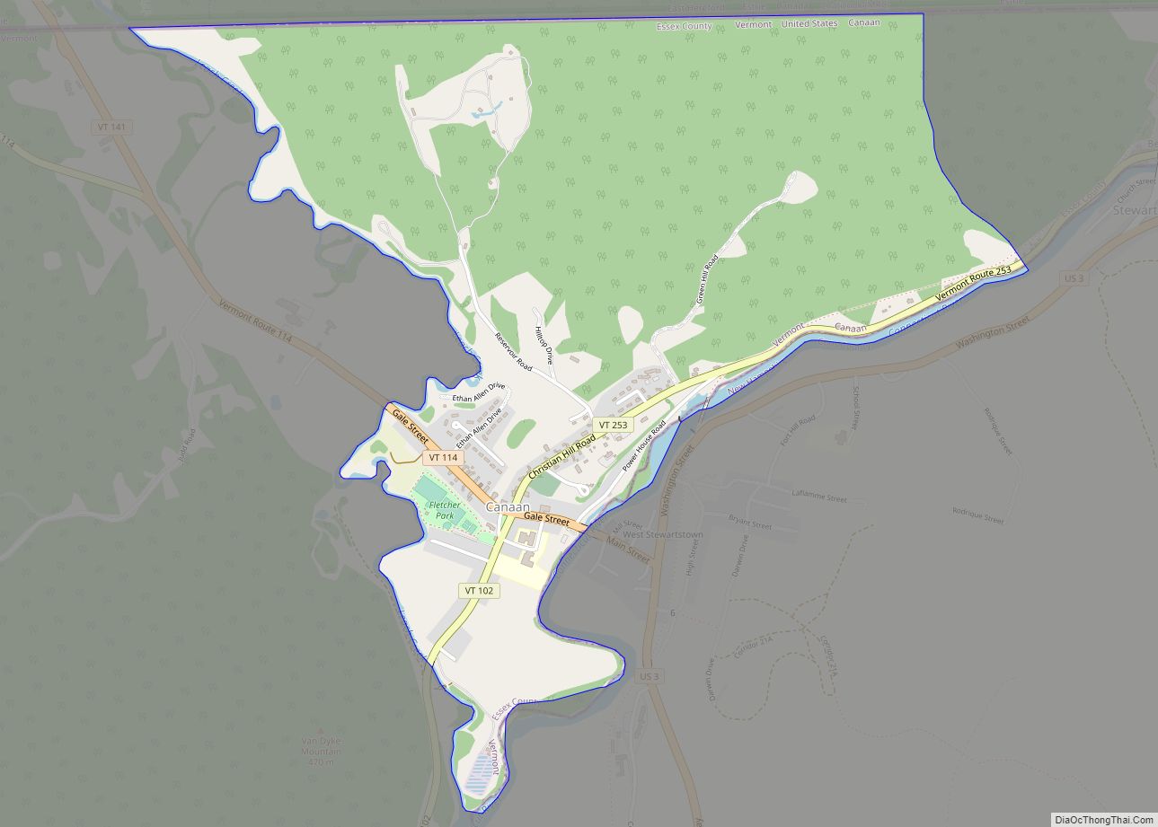
Island Pond is in the center of the town of Brighton, at the north end (outlet) of Island Pond, the lake. Vermont Routes 114 and 105 pass through the community, joining as Derby Street leading south out of the center of the CDP. Route 114 leaves north from Island Pond as Railroad Street, leading 16 miles (26 km) to the Canada–United States border at Norton; to the south Route 114 leads 24 miles (39 km) to Lyndonville. Route 105 leaves east as East Brighton Road, leading 16 miles (26 km) to Bloomfield on the Connecticut River; to the southwest it follows Derby Street and Route 114 for 2 miles (3 km), then turns northwest and leads 17 miles (27 km) through Charleston to Derby Center.
According to the United States Census Bureau, the Island Pond CDP has a total area of 4.6 square miles (11.8 km), of which 4.2 square miles (10.8 km) is land and 0.39 square miles (1.0 km), or 8.42%, is water.
Bluff Mountain overlooks the lake and the island from the north.
The Clyde River flows west out of Island Pond after which the community is named. The Abenaki called this water Menanbawk (literally, “island pond”). It was renamed “Knowlton Pond” in tribute to Luke Knowlton, the surveyor who helped lay out the town in the 1780s. The river is a tributary of Lake Memphremagog and part of the St. Lawrence River basin.
Climate
Fauna
A 2010 Christmas bird count found 28 species.
See also
Map of Vermont State and its subdivision: Map of other states:- Alabama
- Alaska
- Arizona
- Arkansas
- California
- Colorado
- Connecticut
- Delaware
- District of Columbia
- Florida
- Georgia
- Hawaii
- Idaho
- Illinois
- Indiana
- Iowa
- Kansas
- Kentucky
- Louisiana
- Maine
- Maryland
- Massachusetts
- Michigan
- Minnesota
- Mississippi
- Missouri
- Montana
- Nebraska
- Nevada
- New Hampshire
- New Jersey
- New Mexico
- New York
- North Carolina
- North Dakota
- Ohio
- Oklahoma
- Oregon
- Pennsylvania
- Rhode Island
- South Carolina
- South Dakota
- Tennessee
- Texas
- Utah
- Vermont
- Virginia
- Washington
- West Virginia
- Wisconsin
- Wyoming