Lowell is the primary village and a census-designated place (CDP) in the town of Lowell, Orleans County, Vermont, United States. As of the 2020 census, it had a population of 254, out of 887 in the entire town of Lowell.
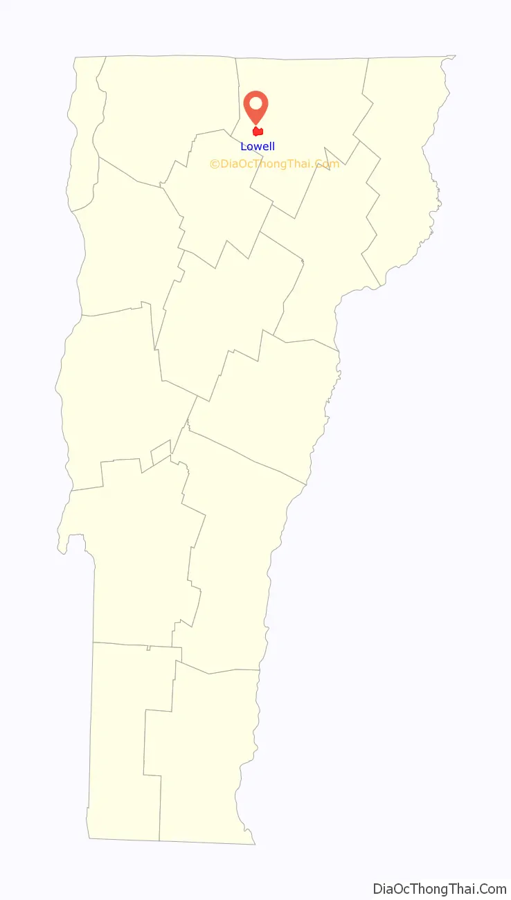
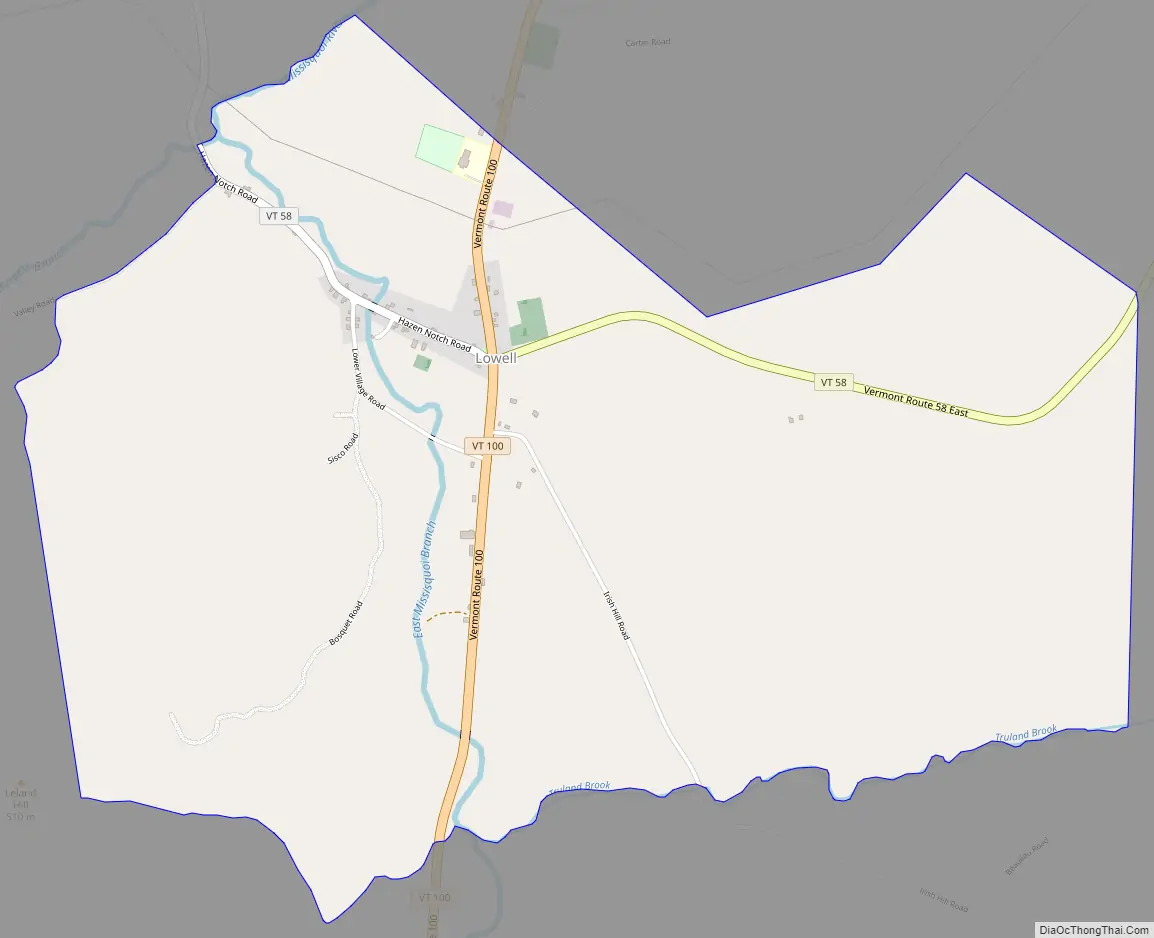
The CDP is in western Orleans County, at the geographic center of the town. It is in the valley of the East Branch of the Missisquoi River, which joins the Burgess Branch at the north end of the village to become the main stem of the Missisquoi, which flows north and then west to Lake Champlain.
Vermont Route 100 passes through the village center, leading north 8 miles (13 km) to Troy village and southwest 19 miles (31 km) to Hyde Park. Vermont Route 58 crosses Route 100 at the village center, leading east 9 miles (14 km) to Irasburg and northwest over Hazens Notch 10 miles (16 km) to Montgomery Center.
| Name: | Lowell CDP |
|---|---|
| LSAD Code: | 57 |
| LSAD Description: | CDP (suffix) |
| State: | Vermont |
| County: | Orleans County |
| Elevation: | 981 ft (299 m) |
| Total Area: | 2.93 sq mi (7.60 km²) |
| Land Area: | 2.93 sq mi (7.58 km²) |
| Water Area: | 0.004 sq mi (0.01 km²) |
| ZIP code: | 05847 |
| Area code: | 802 |
| FIPS code: | 5040450 |
| GNISfeature ID: | 2586642 |
Online Interactive Map
Click on ![]() to view map in "full screen" mode.
to view map in "full screen" mode.
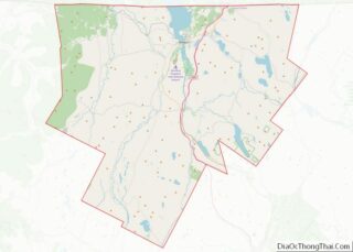
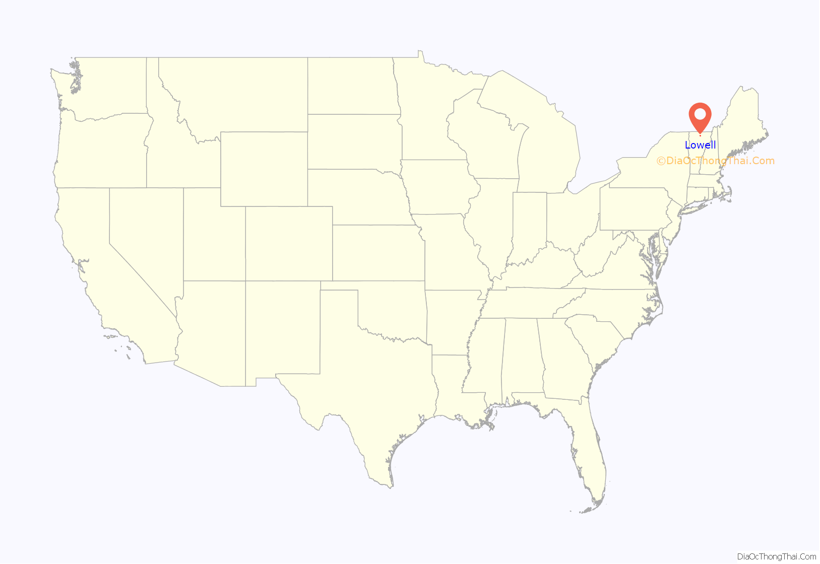
Lowell location map. Where is Lowell CDP?
Lowell Road Map
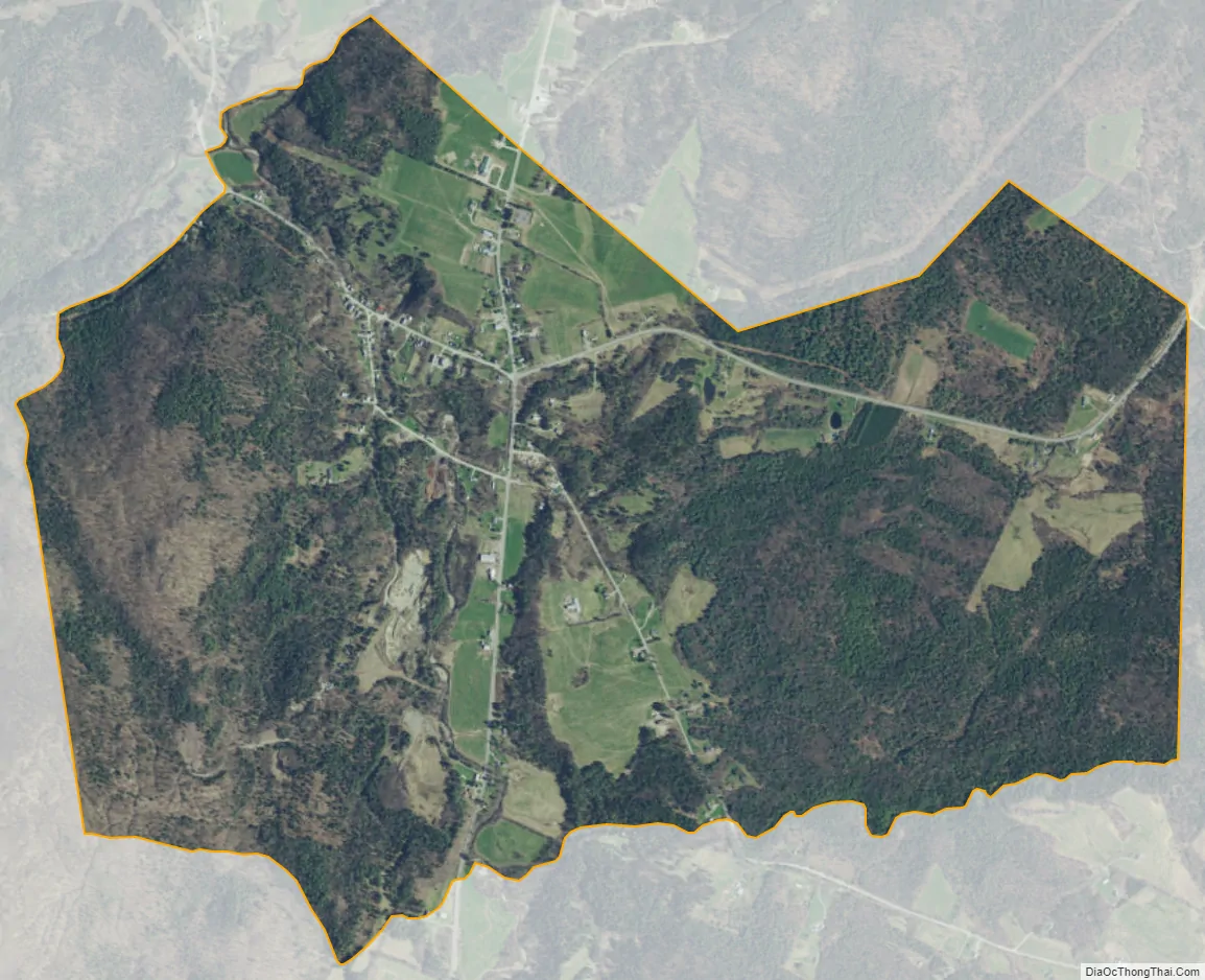
Lowell city Satellite Map
See also
Map of Vermont State and its subdivision: Map of other states:- Alabama
- Alaska
- Arizona
- Arkansas
- California
- Colorado
- Connecticut
- Delaware
- District of Columbia
- Florida
- Georgia
- Hawaii
- Idaho
- Illinois
- Indiana
- Iowa
- Kansas
- Kentucky
- Louisiana
- Maine
- Maryland
- Massachusetts
- Michigan
- Minnesota
- Mississippi
- Missouri
- Montana
- Nebraska
- Nevada
- New Hampshire
- New Jersey
- New Mexico
- New York
- North Carolina
- North Dakota
- Ohio
- Oklahoma
- Oregon
- Pennsylvania
- Rhode Island
- South Carolina
- South Dakota
- Tennessee
- Texas
- Utah
- Vermont
- Virginia
- Washington
- West Virginia
- Wisconsin
- Wyoming