Newport is a town in Orleans County, Vermont, United States. The population was 1,526 at the 2020 census. The town is referred to by the United States Postal Service and the media as Newport Center, the name of the main settlement of the town. Newport is also the name of neighboring Newport City.
| Name: | Newport city |
|---|---|
| LSAD Code: | 25 |
| LSAD Description: | city (suffix) |
| State: | Vermont |
| County: | Orleans County |
| Elevation: | 792 ft (284 m) |
| Total Area: | 43.5 sq mi (112.6 km²) |
| Land Area: | 41.7 sq mi (108.0 km²) |
| Water Area: | 1.8 sq mi (4.6 km²) |
| Total Population: | 1,511 |
| Population Density: | 36.2/sq mi (14.0/km²) |
| ZIP code: | 05857 |
| Area code: | 802 |
| FIPS code: | 5048850 |
| GNISfeature ID: | 1462162 |
Online Interactive Map
Click on ![]() to view map in "full screen" mode.
to view map in "full screen" mode.
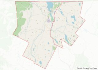
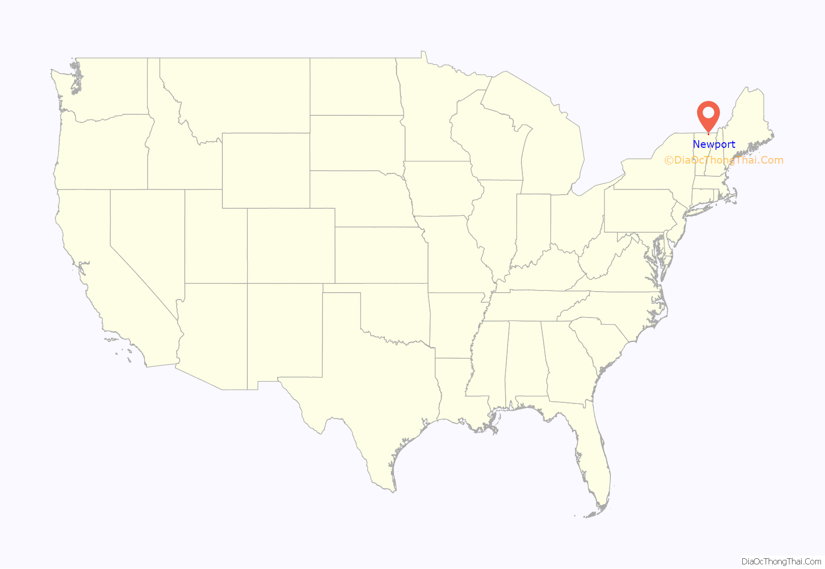
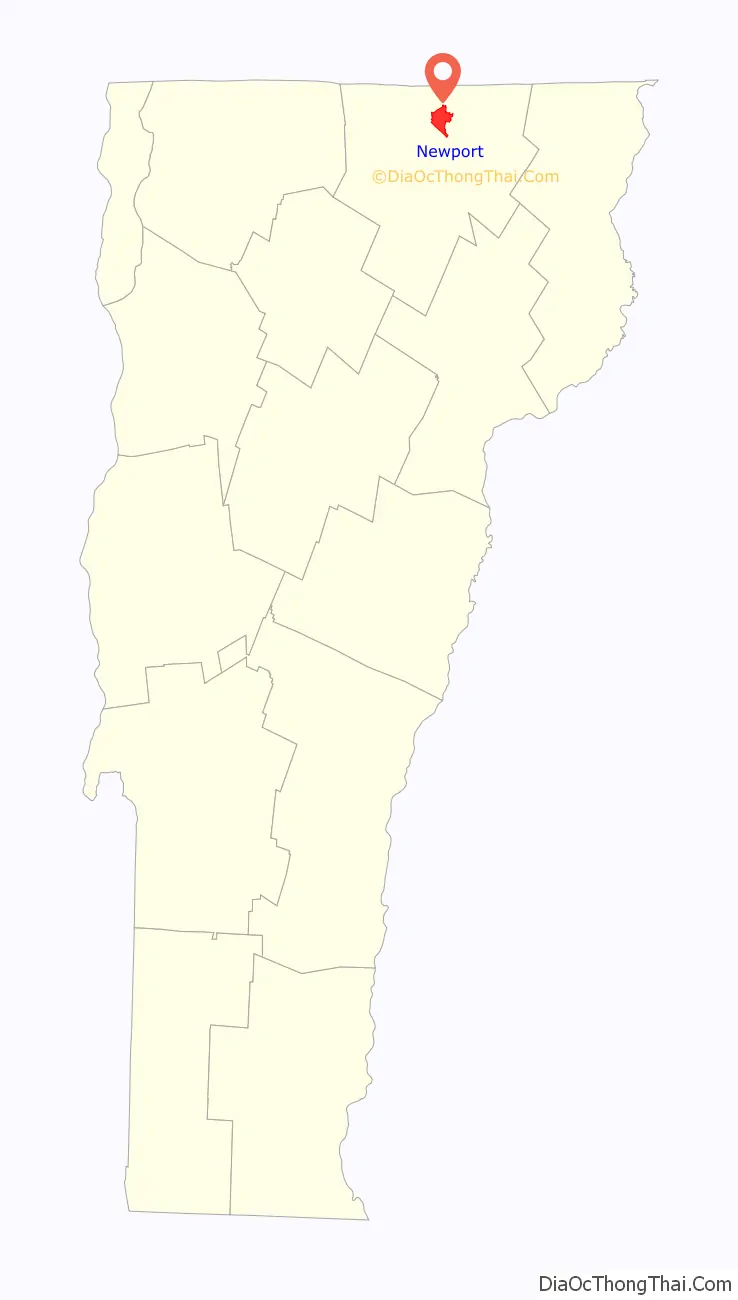
Newport location map. Where is Newport city?
History
Newport was formed on October 26, 1781, and chartered under the name of Duncansboro, to George Duncan, Nathan Fisk, and 63 others on October 30, 1802. Amos Sawyer, Enos Bartlett, James C. Adams were the first town selectman. Amos Sawyer was also the first Town Clerk. These were among the first settlers of Duncansboro. The name was altered from Duncansboro to Newport, October 30, 1816.
The first clearing, which began where Newport Center is now, was made by H. & A. Adams and D. & S. Meacham. Here they constructed a dam and put up a waterwheel sawmill on Mud Creek. Amos Sawyer, a carpenter by trade, built a home nearby. Two other settlements were established in the town: South Newport and Pickeral Point, later renamed to Lake Bridge (named for its location at the head of Lake Memphremagog). By the late 19th century, the Boston and Maine and Central Vermont railroads were routed through Lake Bridge and the small village experienced a population boom. In 1868, the Lake Bridge settlement was incorporated as the “Village of Newport”. The main town village, Newport Center, was also incorporated in 1908.
In 1917, the Village of Newport separated from the Town of Newport and merged with the Village of West Derby (in the town of Derby) to form the City of Newport. In 1931, by special acts of the General Assembly, the Village of Newport Center consolidated with the Town of Newport, with its former responsibilities automatically assumed by the town.
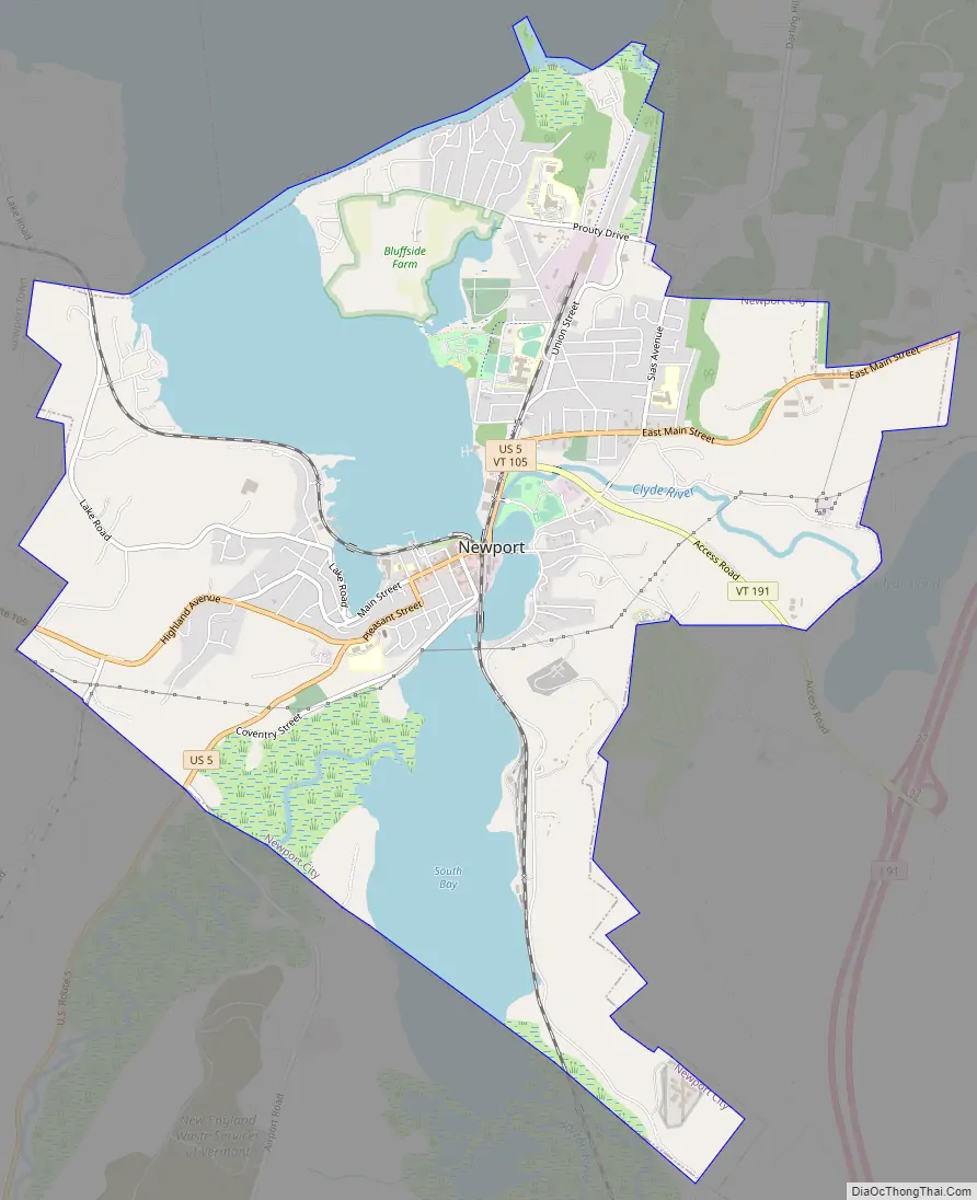
Newport Road Map
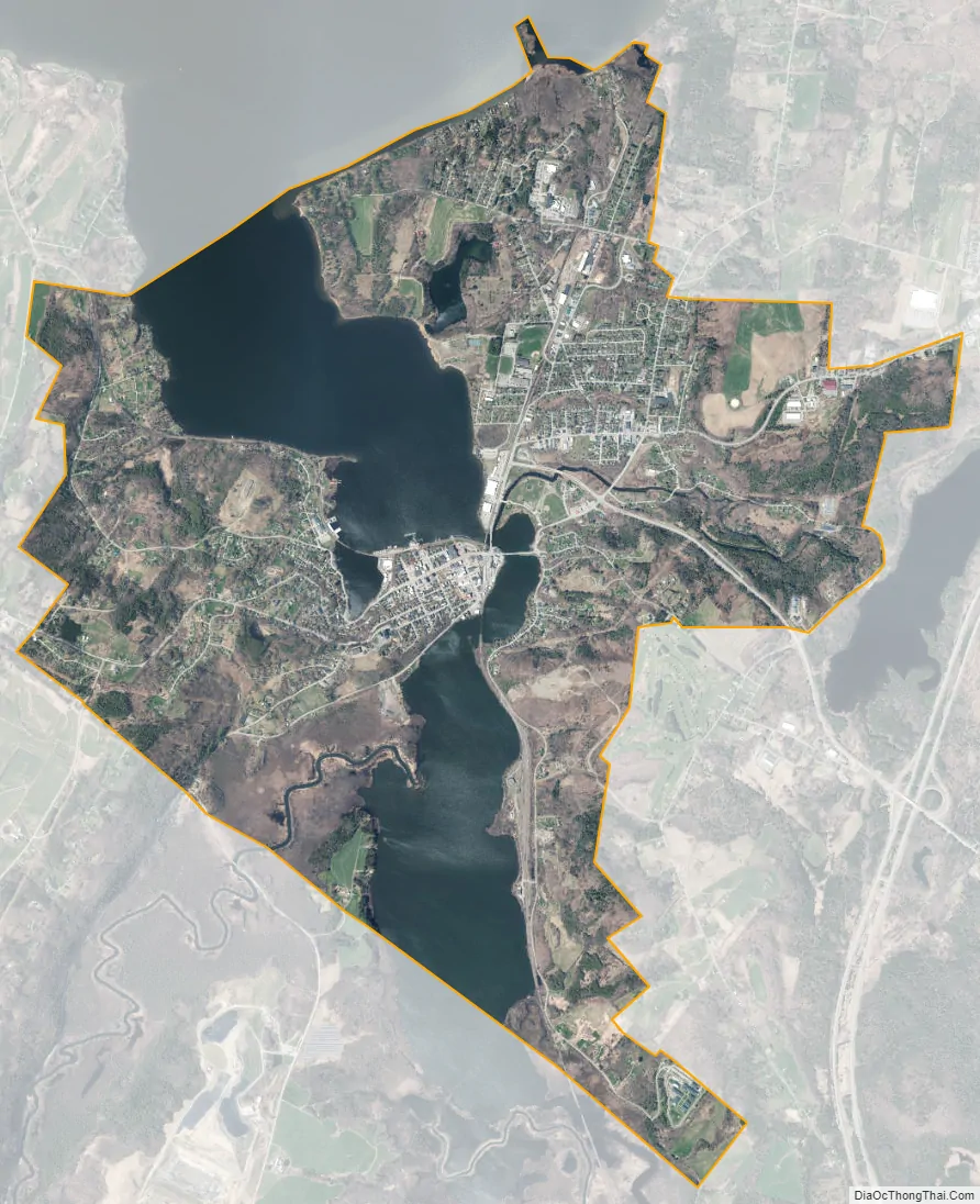
Newport city Satellite Map
Geography
According to the United States Census Bureau, the town has a total area of 43.5 square miles (112.6 km), of which 41.7 square miles (108.0 km) is land and 1.8 square miles (4.6 km) (4.07%) is water.
The unincorporated village of Newport Center is located roughly in the geographic center of town. The town also contains a smaller, secondary settlement, South Newport, located in the southern part of town.
See also
Map of Vermont State and its subdivision: Map of other states:- Alabama
- Alaska
- Arizona
- Arkansas
- California
- Colorado
- Connecticut
- Delaware
- District of Columbia
- Florida
- Georgia
- Hawaii
- Idaho
- Illinois
- Indiana
- Iowa
- Kansas
- Kentucky
- Louisiana
- Maine
- Maryland
- Massachusetts
- Michigan
- Minnesota
- Mississippi
- Missouri
- Montana
- Nebraska
- Nevada
- New Hampshire
- New Jersey
- New Mexico
- New York
- North Carolina
- North Dakota
- Ohio
- Oklahoma
- Oregon
- Pennsylvania
- Rhode Island
- South Carolina
- South Dakota
- Tennessee
- Texas
- Utah
- Vermont
- Virginia
- Washington
- West Virginia
- Wisconsin
- Wyoming