Newport Center is the primary village and a census-designated place (CDP) in the town of Newport, Orleans County, Vermont, United States. As of the 2020 census, it had a population of 231, out of 1,526 in the town of Newport.
The CDP is in northern Orleans County, north of the geographic center of the town. It is in the valley of Mud Creek, a northwest-flowing tributary of the Missisquoi River, which flows west to Lake Champlain.
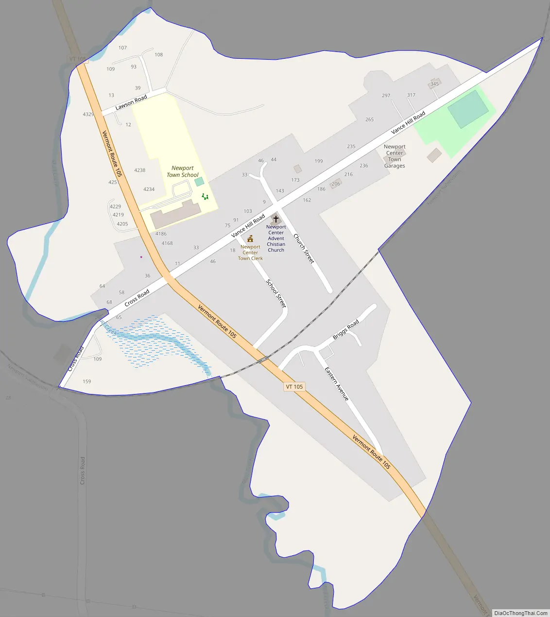
Vermont Route 105 passes through the village center, leading northwest 6 miles (10 km) to North Troy next to the Canadian border and east-southeast the same distance to the city of Newport on Lake Memphremagog.
| Name: | Newport Center CDP |
|---|---|
| LSAD Code: | 57 |
| LSAD Description: | CDP (suffix) |
| State: | Vermont |
| County: | Orleans County |
| Elevation: | 778 ft (237 m) |
| Total Area: | 0.40 sq mi (1.03 km²) |
| Land Area: | 0.39 sq mi (1.02 km²) |
| Water Area: | 0.004 sq mi (0.01 km²) |
| ZIP code: | 05857 |
| Area code: | 802 |
| FIPS code: | 5049000 |
| GNISfeature ID: | 2586643 |
Online Interactive Map
Click on ![]() to view map in "full screen" mode.
to view map in "full screen" mode.
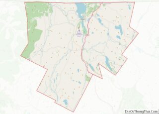
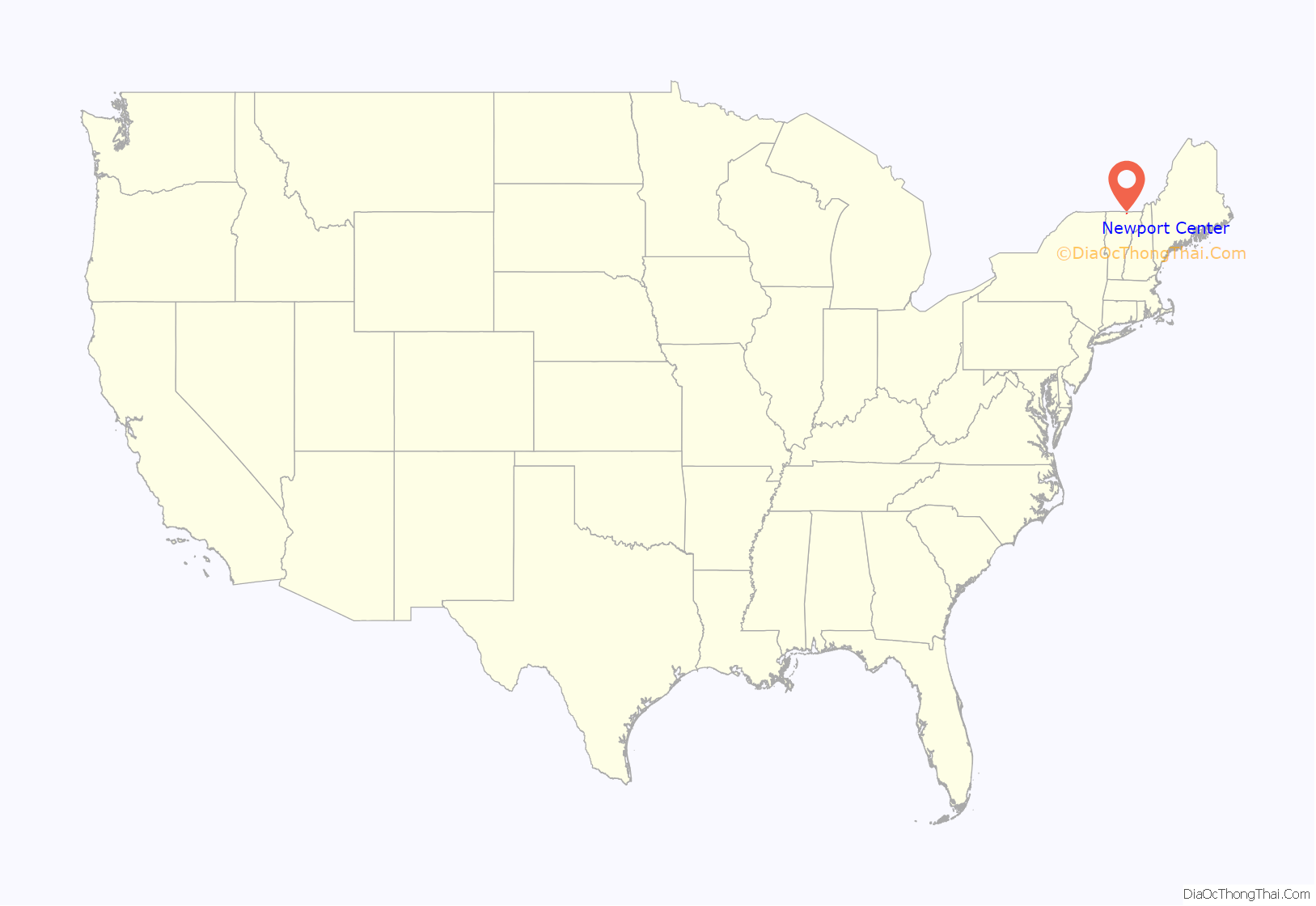
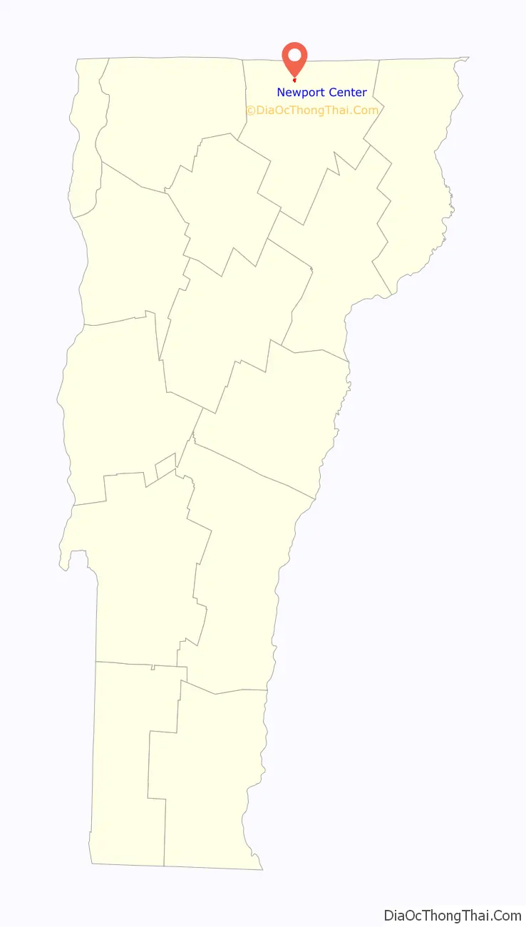
Newport Center location map. Where is Newport Center CDP?
Newport Center Road Map
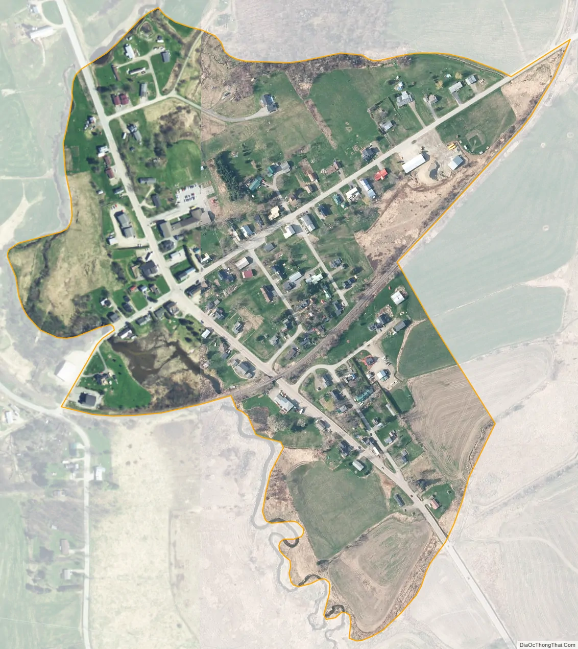
Newport Center city Satellite Map
See also
Map of Vermont State and its subdivision: Map of other states:- Alabama
- Alaska
- Arizona
- Arkansas
- California
- Colorado
- Connecticut
- Delaware
- District of Columbia
- Florida
- Georgia
- Hawaii
- Idaho
- Illinois
- Indiana
- Iowa
- Kansas
- Kentucky
- Louisiana
- Maine
- Maryland
- Massachusetts
- Michigan
- Minnesota
- Mississippi
- Missouri
- Montana
- Nebraska
- Nevada
- New Hampshire
- New Jersey
- New Mexico
- New York
- North Carolina
- North Dakota
- Ohio
- Oklahoma
- Oregon
- Pennsylvania
- Rhode Island
- South Carolina
- South Dakota
- Tennessee
- Texas
- Utah
- Vermont
- Virginia
- Washington
- West Virginia
- Wisconsin
- Wyoming